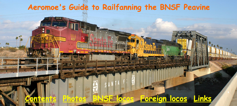
|
|
|
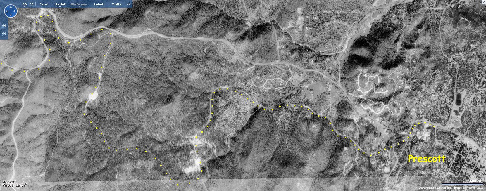
 (I chose this over a satellite) interspersed
throughout this page for a satellite image/notes of the location. Be sure to check out the "Birds Eye" feature for a fairly close-up aerial photo of the area.
(I chose this over a satellite) interspersed
throughout this page for a satellite image/notes of the location. Be sure to check out the "Birds Eye" feature for a fairly close-up aerial photo of the area.
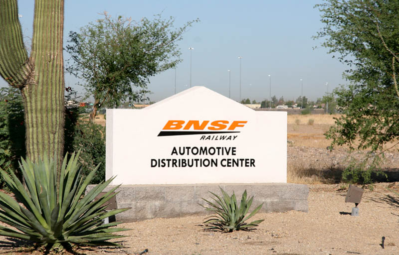
Introduction
|
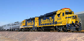
Train
Operations
|
Scanner Tips
|
Photography
|
Historically, the Peavine has existed since the 19th century. My intent is not to present a grand history lesson of the Phoenix Sub. To learn more about Peavine history, I recommend 'Santa Fe to Phoenix' by David F. Myrick, an excellent hardcover book detailing the history of linking the mainline with Phoenix, among other relative subjects. However, below I have tried to piece together important dates in order to provide a snapshot of some of the more important events relative to the Phoenix Sub.
Incorporation of the Santa Fe, Prescott and Phoenix Railway Co. |
Northward grading began in Phoenix |
Southward grading began in Ash Fork |
Trains operate between Prescott and Skull Valley |
Trains operate as far south as current Castle Hot Springs siding |
Track complete from Ash Fork to Phoenix, via Prescott |
Line change between MP 4 and ~MP27 |
Revised grade 4 miles south of Kirkland |
Work begins on Abra - Skull Valley line change |
Abra - Skull Valley line change opens; Prescott - Skull Valley line abandoned |
Abra - Prescott line abandoned |
???? |
???? |
???? |
???? |
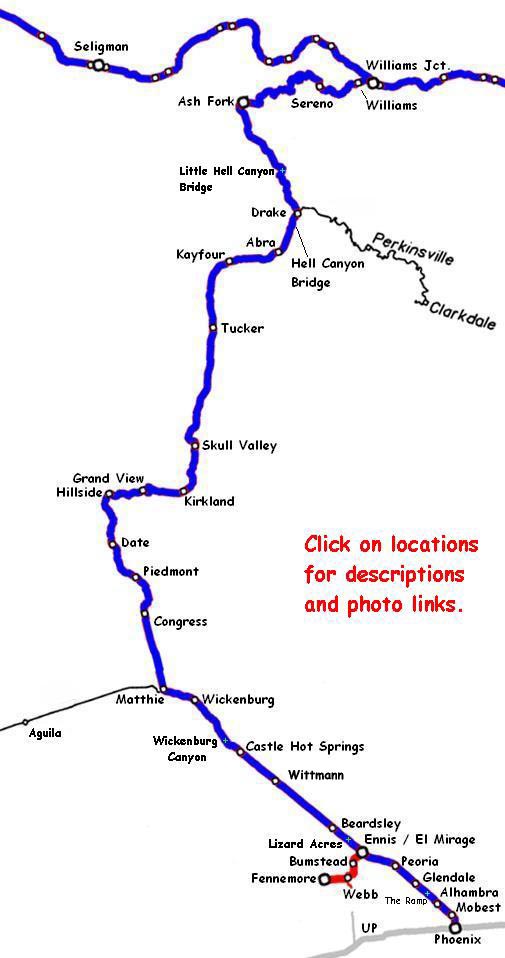
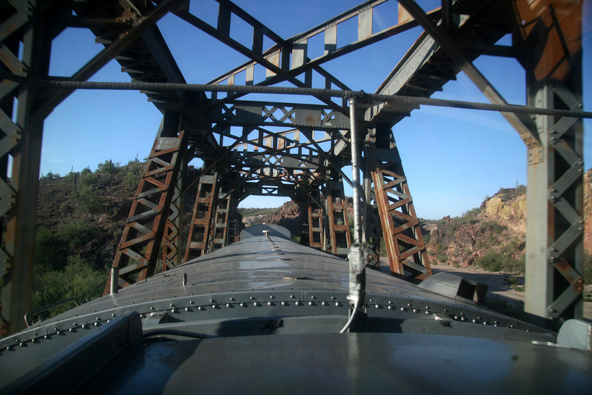
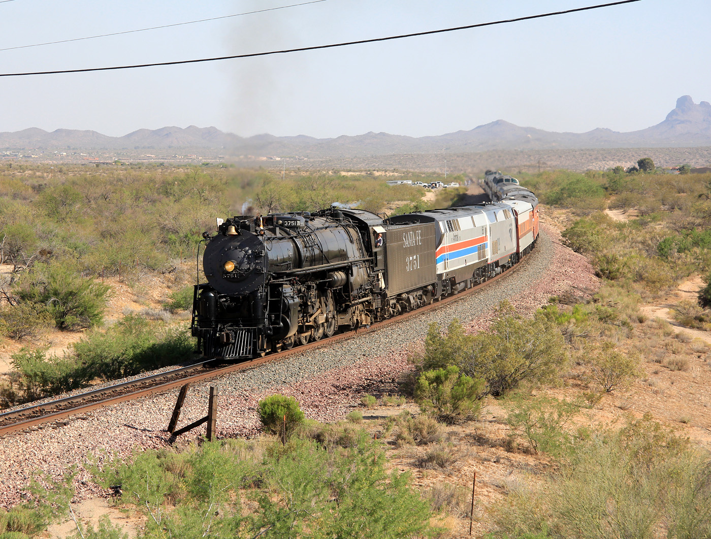
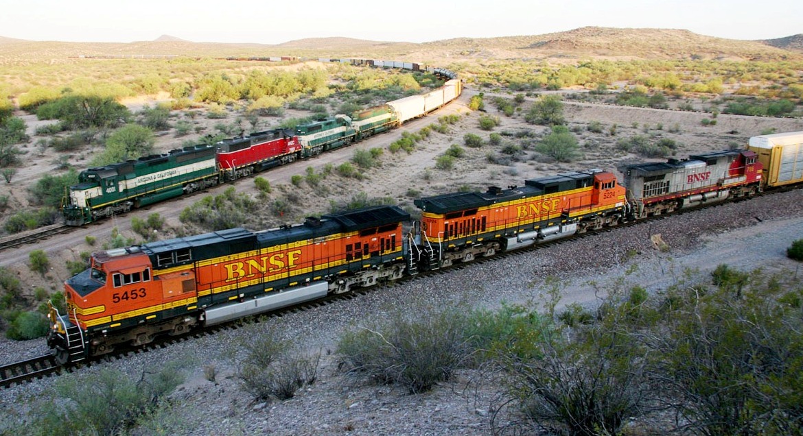
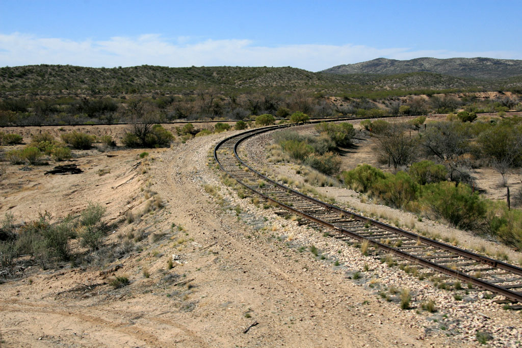
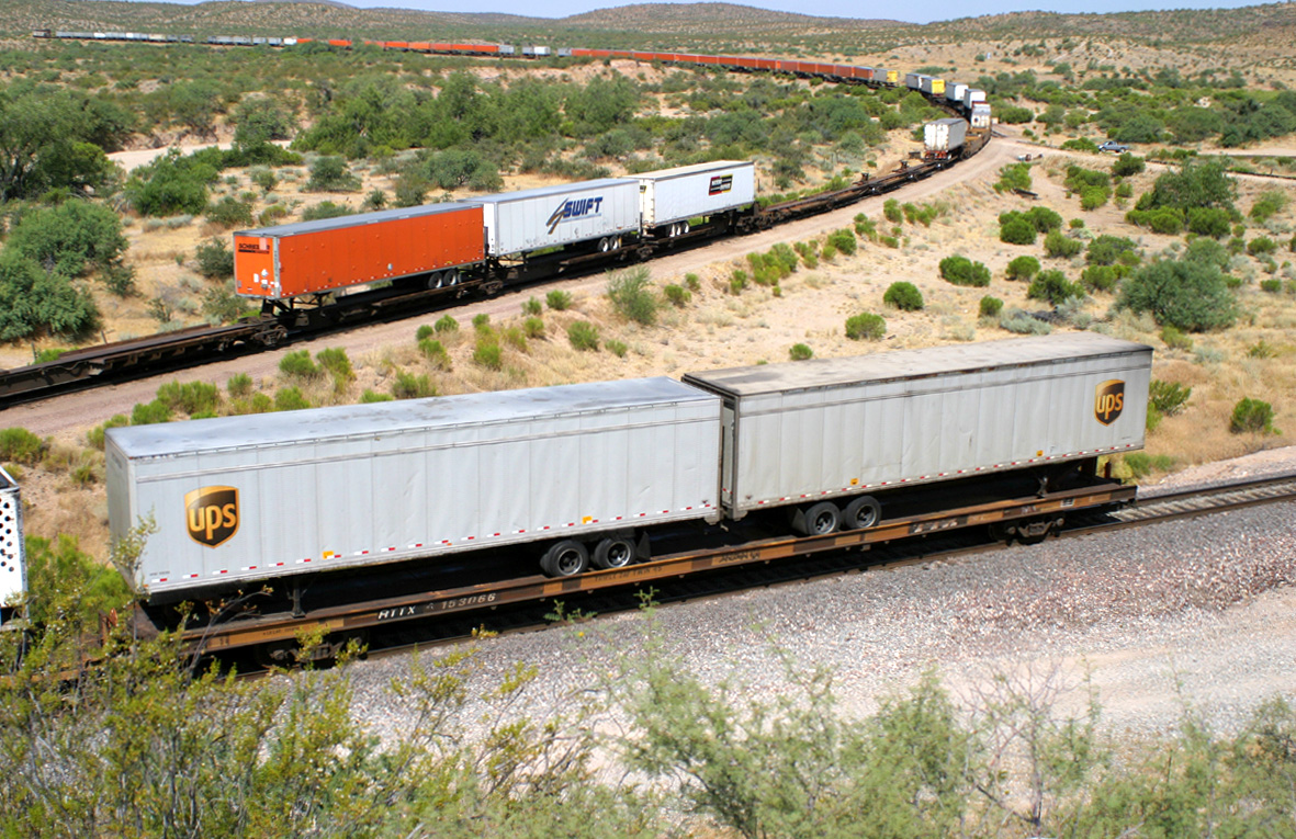
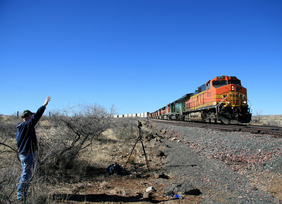
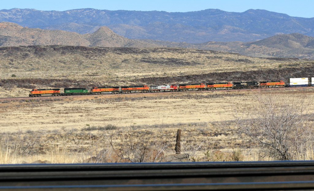
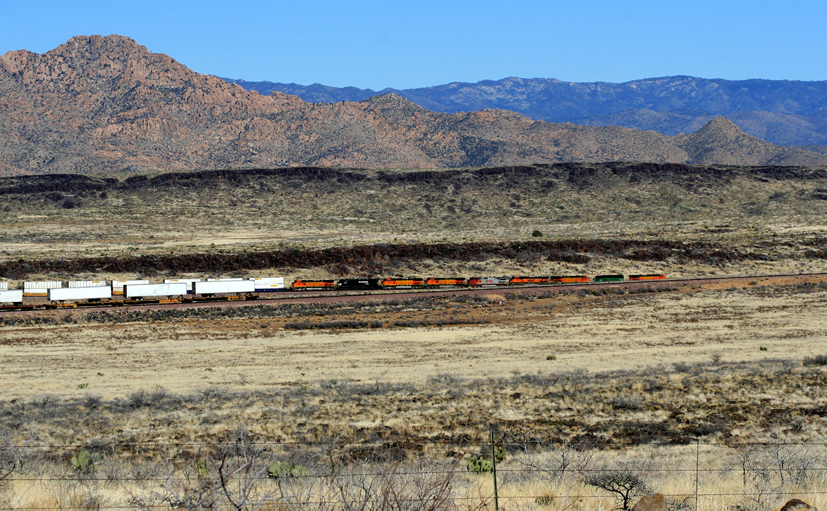
After an explanation of Road train operations, radio scanner info, and some photography tips, my virtual railfan guide of the Peavine will begin at Phoenix and progress north (railroad east) to the mainline at West Williams Jct. I've fanned much of the line but some locations will probably remain unexplored by me because of the isolation of portions the line. I hope to visit as much of the line as humanly possible and record images of trains traversing this inspiring and beautiful (not to mention economically important) branch line of the BNSF Railway.


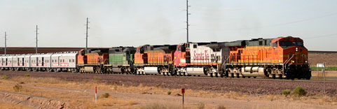
Peavine Ruminations:
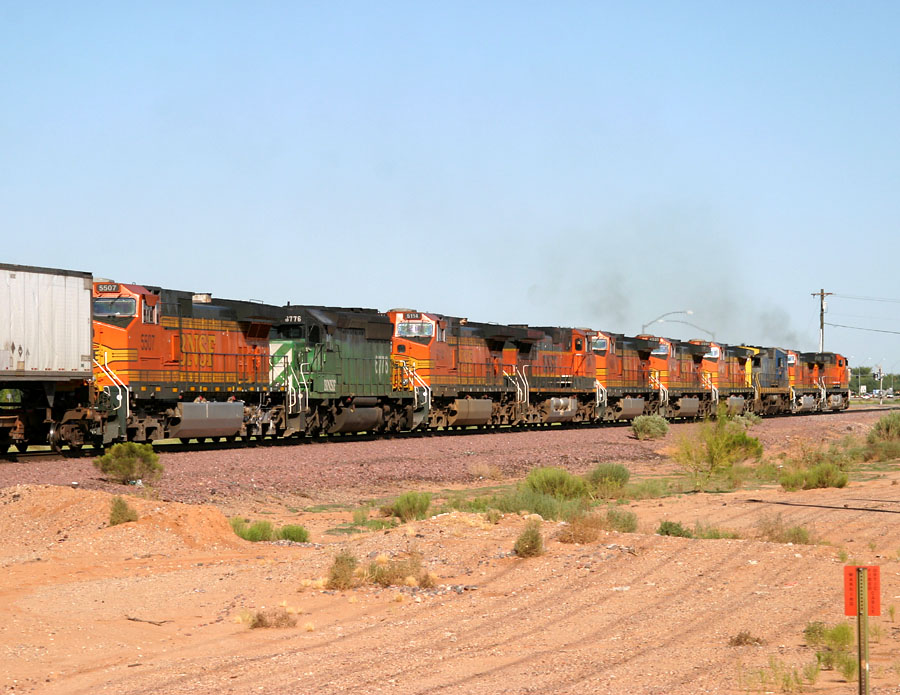
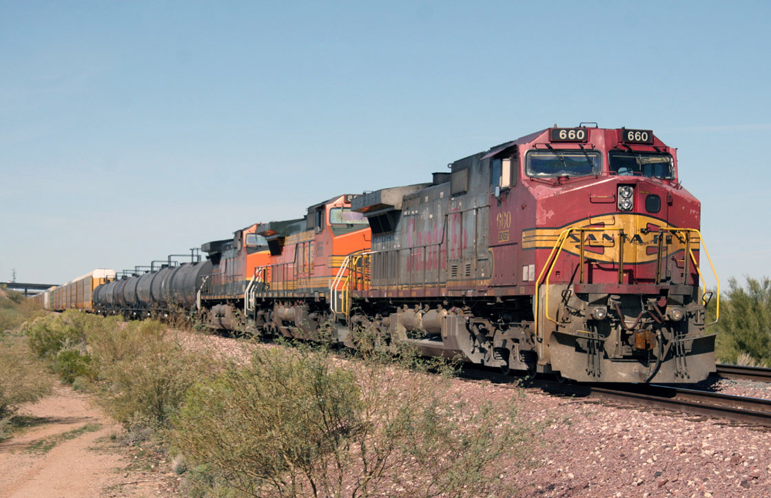
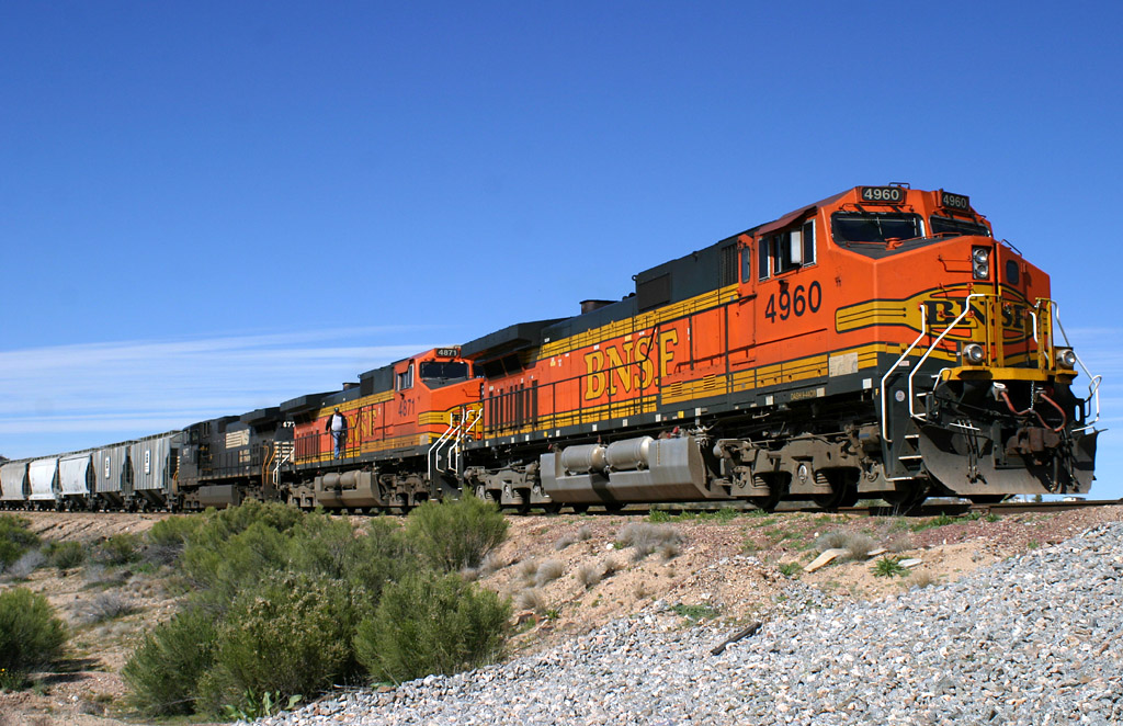
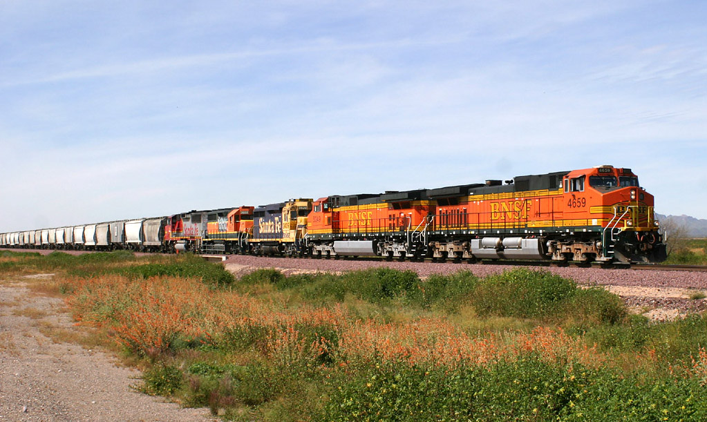
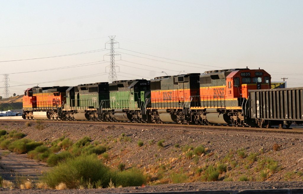
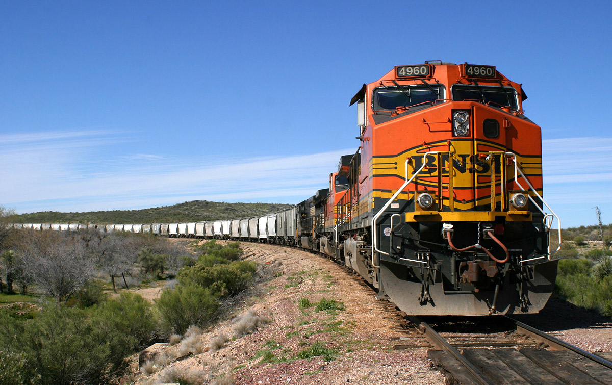
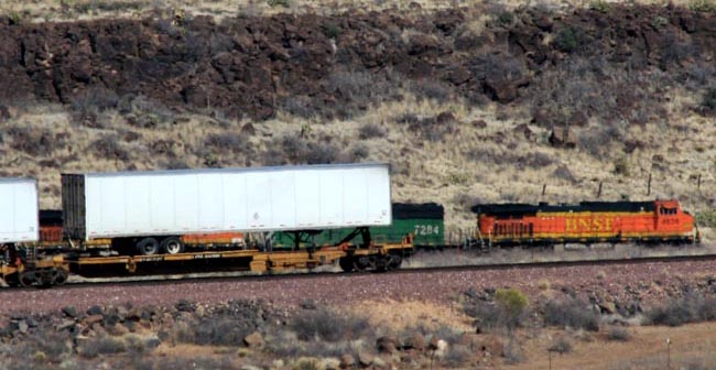
-BNSF ES44DCs and Dash 9s predominate as train
leaders. However, just about any BNSF 6-axle DC units can be seen.
BNSF AC power is very rare here, as are the "70-series" EMD motors: SD70MACs, SD75(I and Ms), and the SD70ACe units. They do show up occasionally, but are quite rare in Phoenix. UP, CSX, KCS, Ferromex, and CP RAIL AC motors have all made appearances.
It's fairly rare for 4-axle units to lead trains in off the transcon, but it does occur - usually GP60Ms or D8-40BWs.

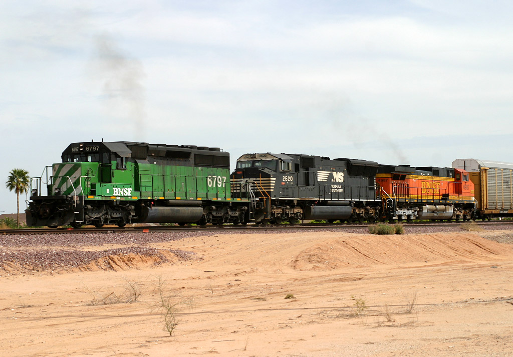
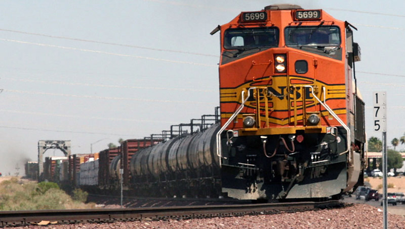
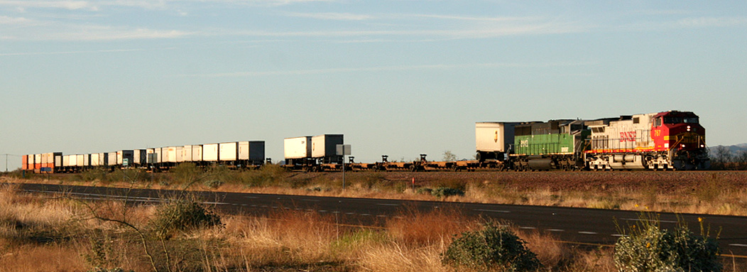
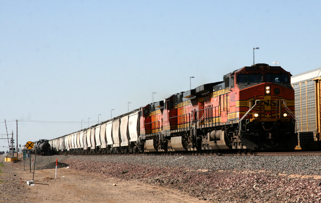
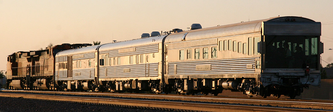
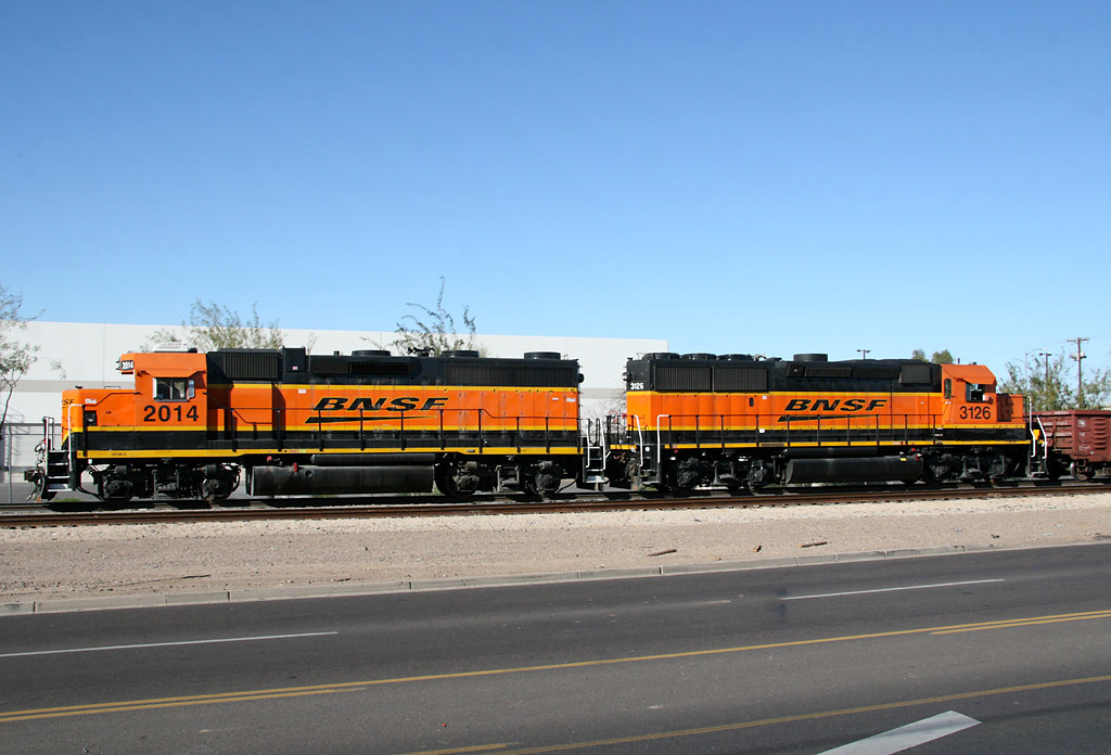
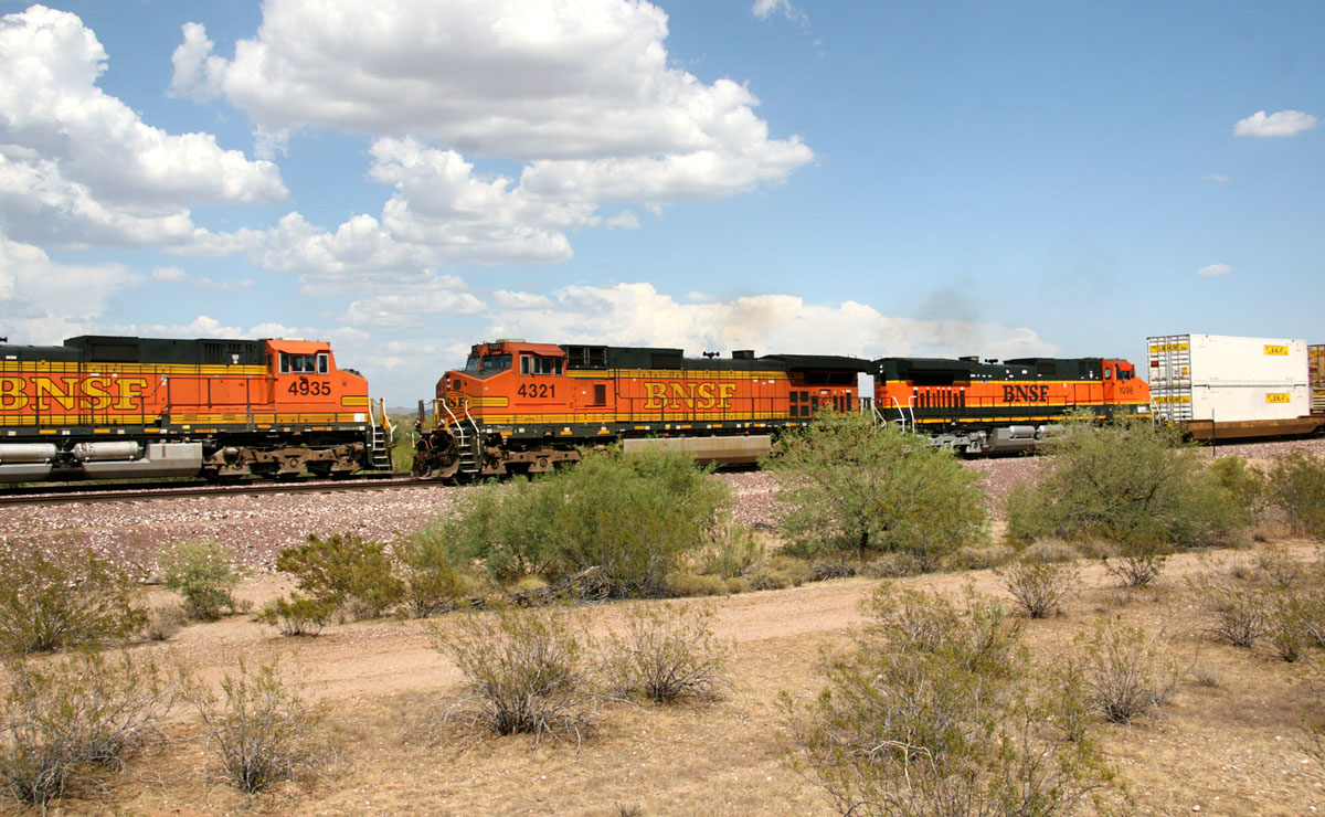
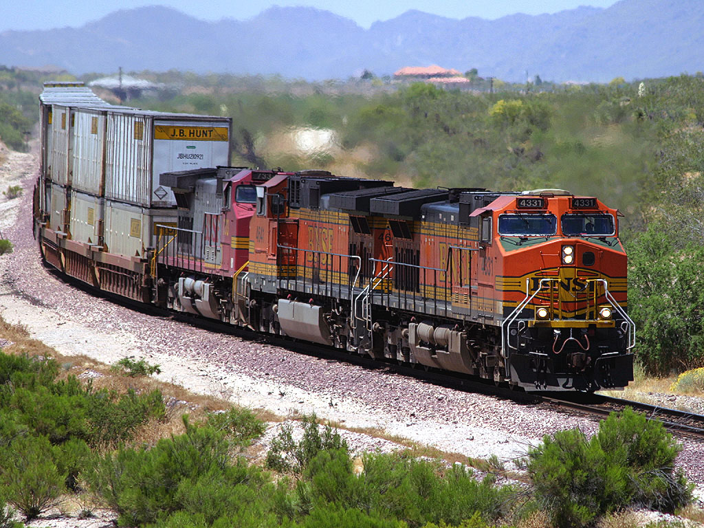
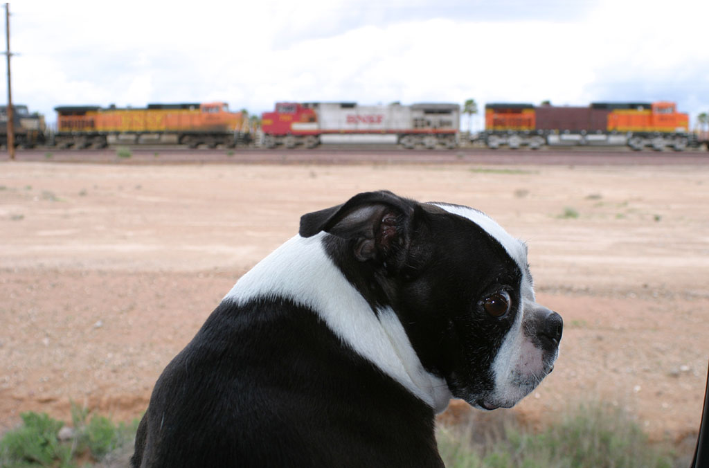
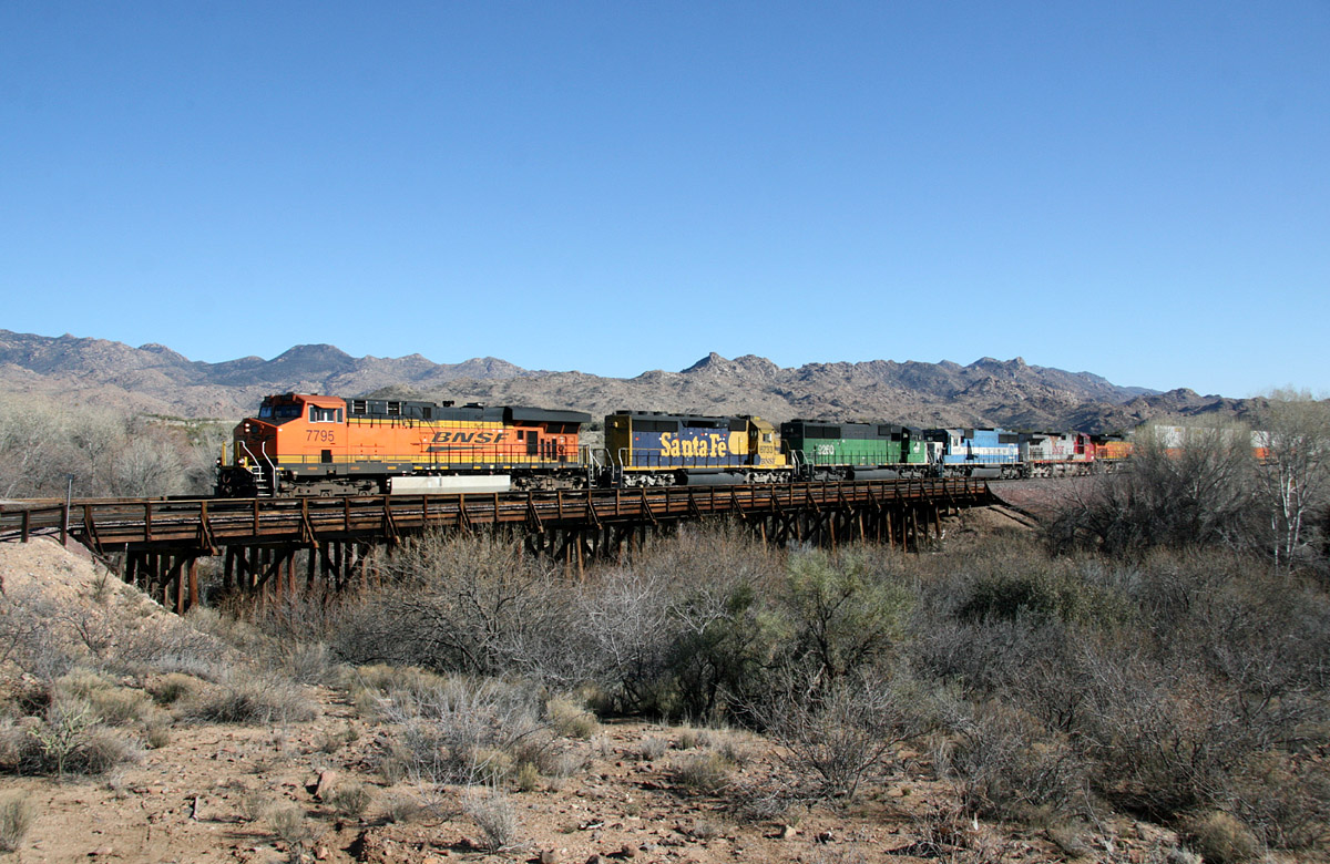
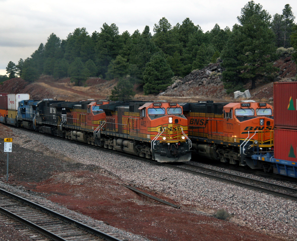
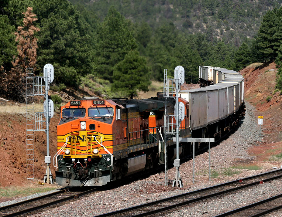
Westbound Vehicle train with the BNSF 2014, IC 6034, and FURX 7222 pause at Greenway for a few minutes before pulling forward to set out their loads in El Mirage. 15 Nov 2006.
-Foreign power shows up regularly,
sometimes as the leader. CN, CSX, Ferromex, KCS, NS, and UP motors have all led trains. NS seems to be very popular foreign power, while units from just about every Class 1 Railroad and some regionals have showed up. I've seen CP; Illinois Central; Iowa, Chicago and Eastern; and Wisconsin Central units among others come to Phoenix on the Peavine.
-Lease fleet power used to be fairly common, though very rare after 2007 as it has been in years past.
-Majority of trains seem to make it from Phoenix to Winslow (or
reverse) during a single duty shift, but 'dog-catches' regularly occur. This is where a new crew will travel via van to the train and replace the crew that is going off duty.
-As regular as the eastbound operations seem to be, westbound trains show up any time. For the Z trains, the afternoon daily Z-CLOPHX (used to be Z-WINPHX) is usually quite short (88 axles is common) and the other Z trains have a definite pattern. Starting on Saturday, there seems to be 3 or 4 days that the symbol is Z-CHIPHX, then a couple days of Z-WSPPHX and the
Friday Z-train is a Z-CLOPHX. These are of course in addition to the daily Z-CLOPHX.
-Sometimes, westbound trains on the sub don't come all the way to Phoenix. Some are scheduled only as far as Drake or other points up north. I've heard of lite power running down the sub after dropping the train up north as well as power just returning east after dropping the train.
-As with any major railroad, exceptions can and do
occur as markets fluctuate with seasonal changes. While not super busy, the Peavine
provides enough activity and a decent amount of foreign pool power to keep
operations interesting and make Phoenix and the surrounding area worthy of a visit. Counting the Local, six trains
total in a day in both directions would be considered a good day. Do the math and that's over 2,000 trains a year. When I first moved here in 2004 there were a couple more westbounds that could be counted on (vehicle train and a regular cement train) and with those gone, traffic is definitely slower. But as recently as early 2009,
we've started seeing a periodic westbound unit tank train (U-GPTPHX) arrive in the evening, and now the cement train is back on a (typically once-weekly basis.
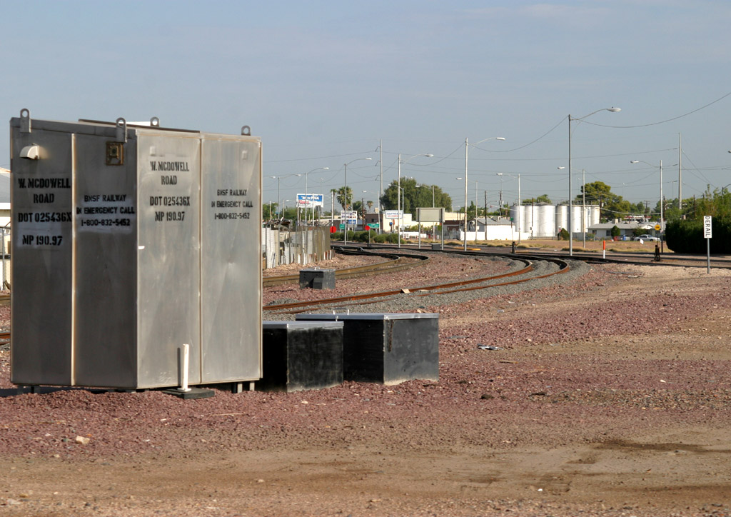
 MP
191.6 [ 208 ]
MP
191.6 [ 208 ]
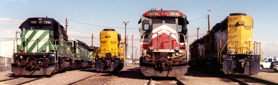
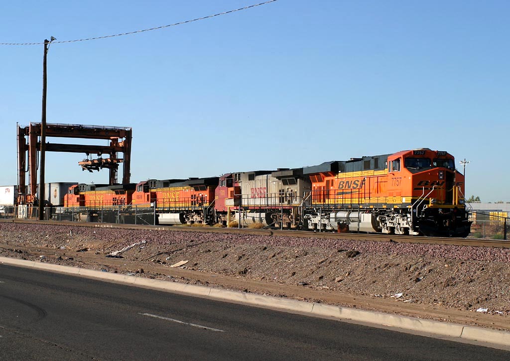
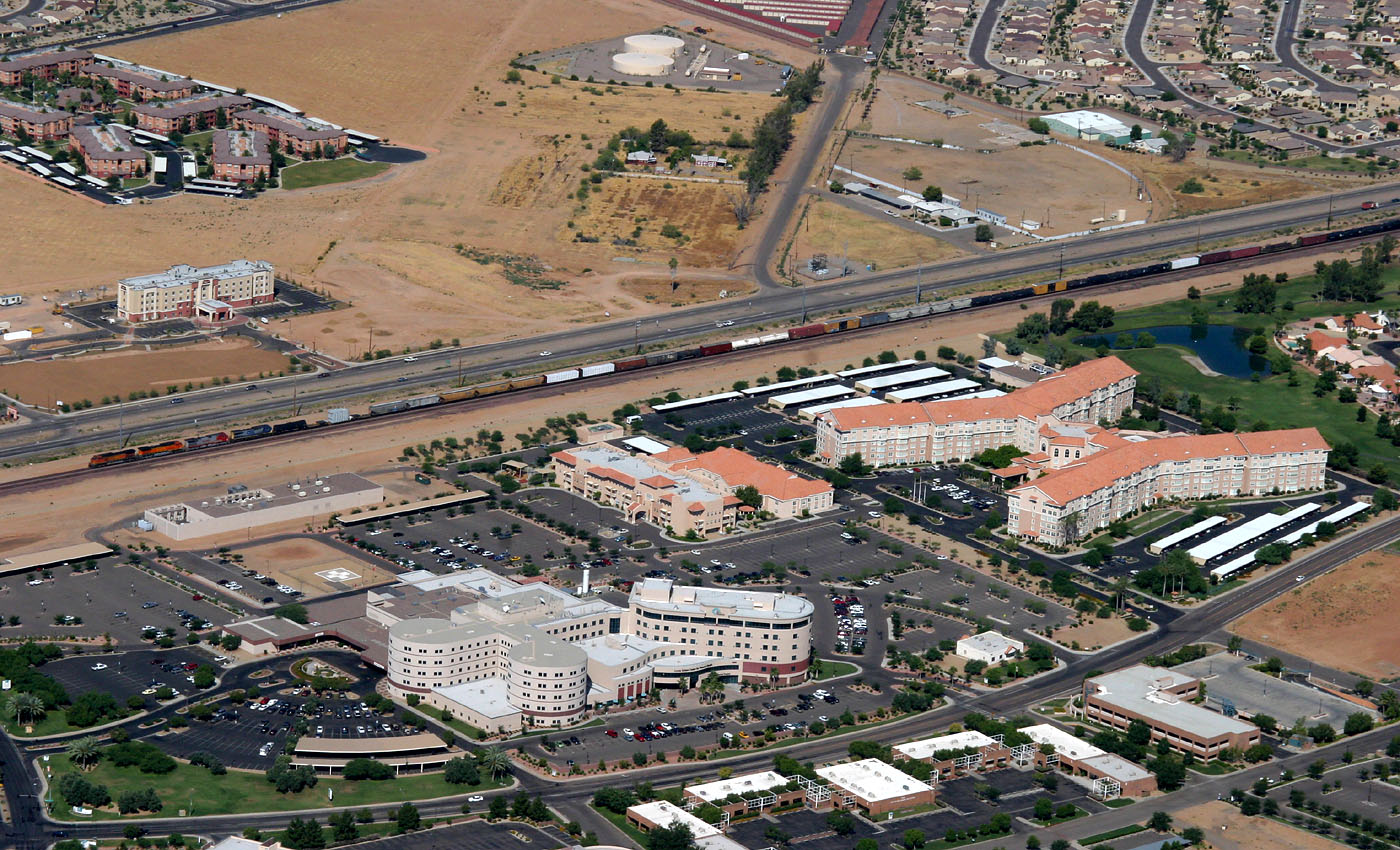
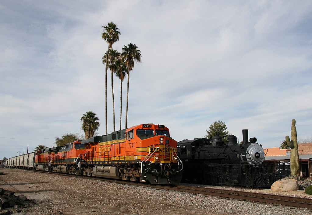
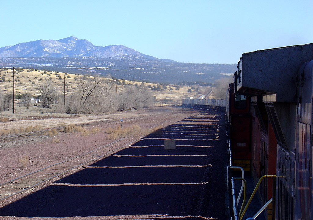
Looking north from the Mobest turntable, this is one of my earliest Mobest photos. I'd visited PHX several times
before moving here in 2004 and this photo was taken on 24 Jan 2000.
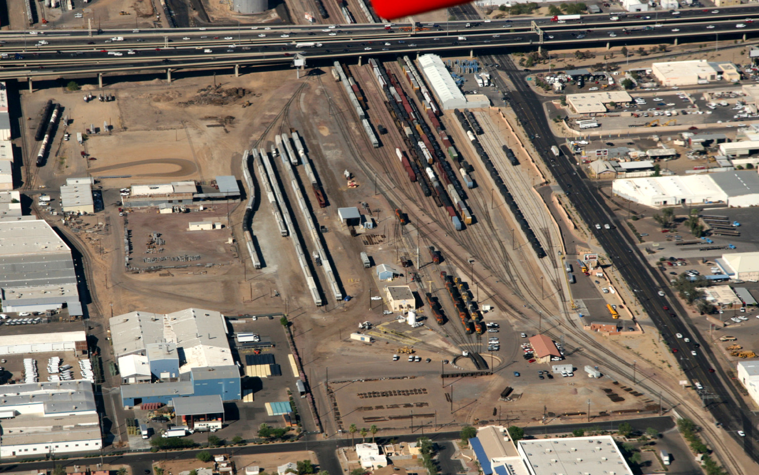
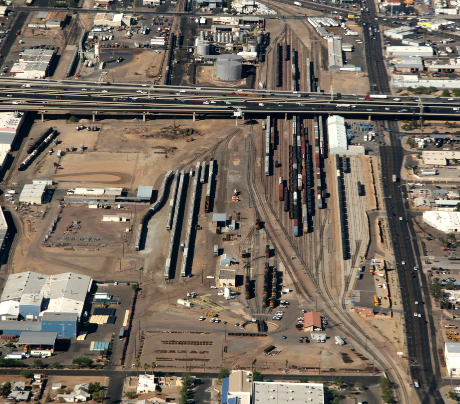
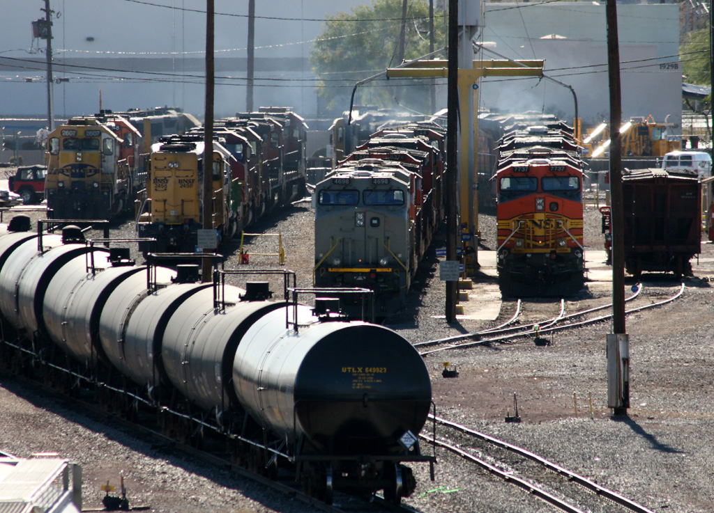
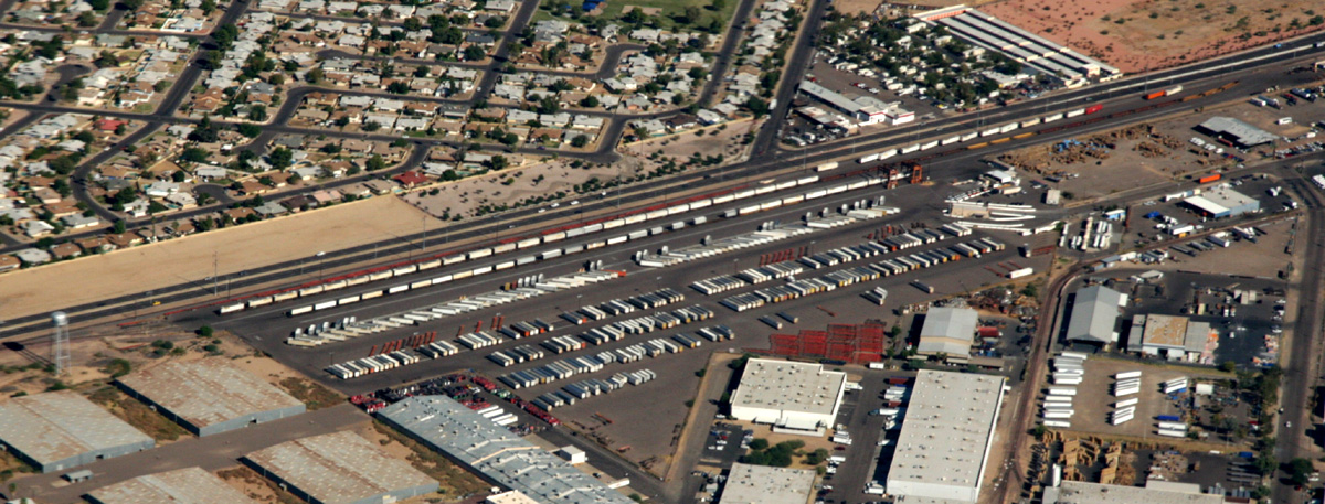
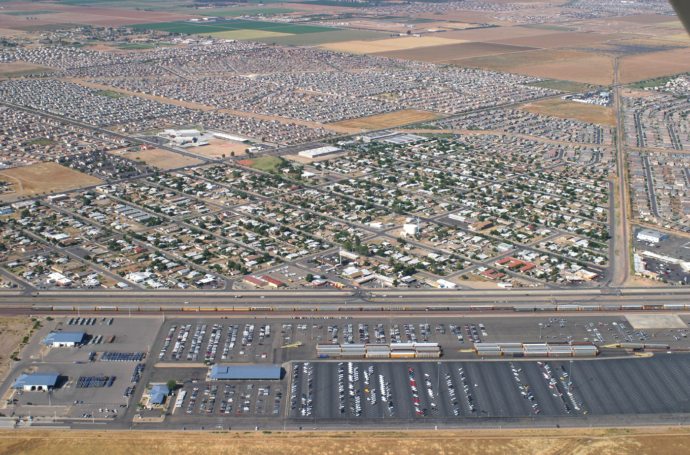
I snapped the above aerial photos 22 Oct 2007 from a Southwest 737-700 while on final to Sky Harbor Airport. The new tank car facility is visible to the east of the yard tracks. Also evident is the new pavement across 19th Avenue where the tracks to Smith Pipe & Steel were removed in September 2007.
The third photo is the 101 Job switching the yard lead as seen from 19th Avenue. Even on Christmas Day 2007 crews were busy keeping up with the demands of a bustling railroad yard.
The fourth photo is a view of the engine tracks as seen from the I-10 overpass over Mobest Yard. View is to the south.
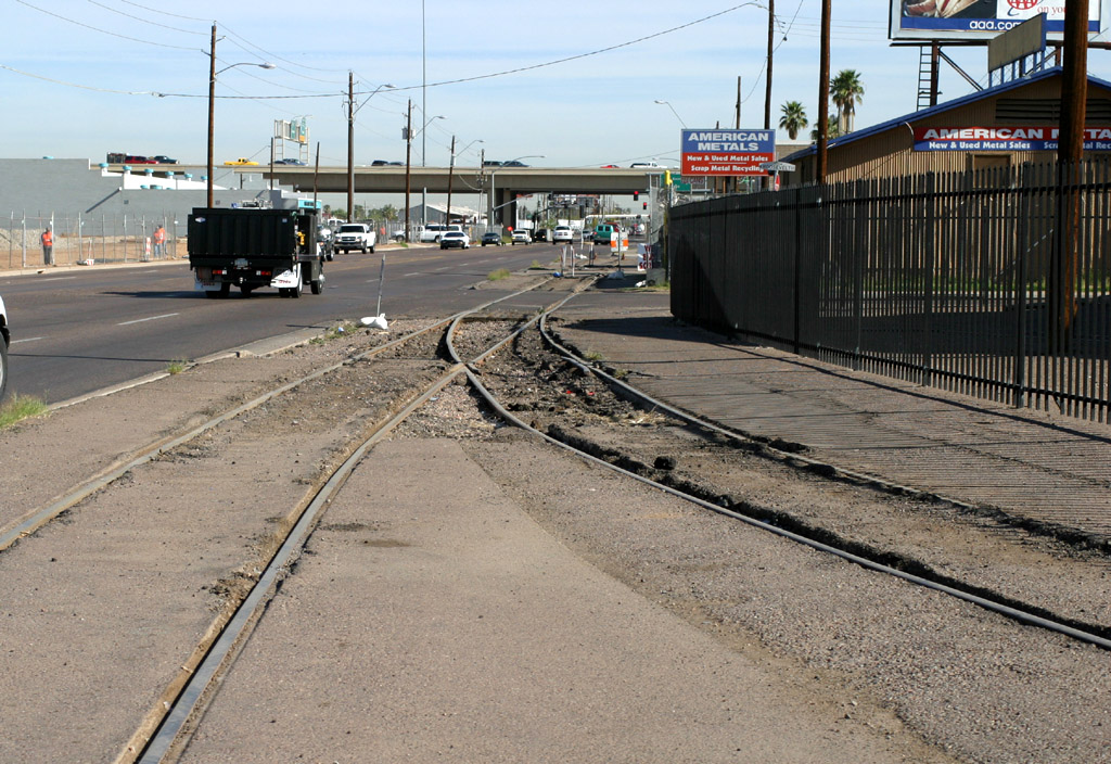

 -- MP 188.3 -- Near Indian School Rd. [ 205 ]
Traveling
northwest along Grand Ave you'll see many industrial spurs diverging to the
south. Various switching jobs including the O(oh)31, O32, O33, O34, O36, and O37
switch these customers. Just north of Indian School Road at Milepost 188 is
Alhambra Yard. Alhambra is basically several parallel tracks where manifest
freight is setout and picked up. You can observe an inbound manifest breaking up
the train here at times, and sometimes the outbound manifest will stage here
while waiting for the main adjacent to "the ramp" (TOFC/COFC yard) to clear up.
The station sign cannot be seen from Grand Ave very easily. It is located
railroad west of the Indian School Road overpass and behind (geo west) the large
lumber yard as viewed from Grand Ave. It is easily reached on foot if you park
west of the tracks.
Desert Lift -- "The Dock" (a.k.a. "The Ramp") -- MP 186 -- Bethany Home Rd. [ 203 ]
Left - The eastbound Saturday pig train is tucked into the loading area waiting for departure in July 2006.
Right - Aerial view looking southeast. I snapped this photo on 22 Oct 2007 from a Southwest 737-700 inbound to Sky Harbor.
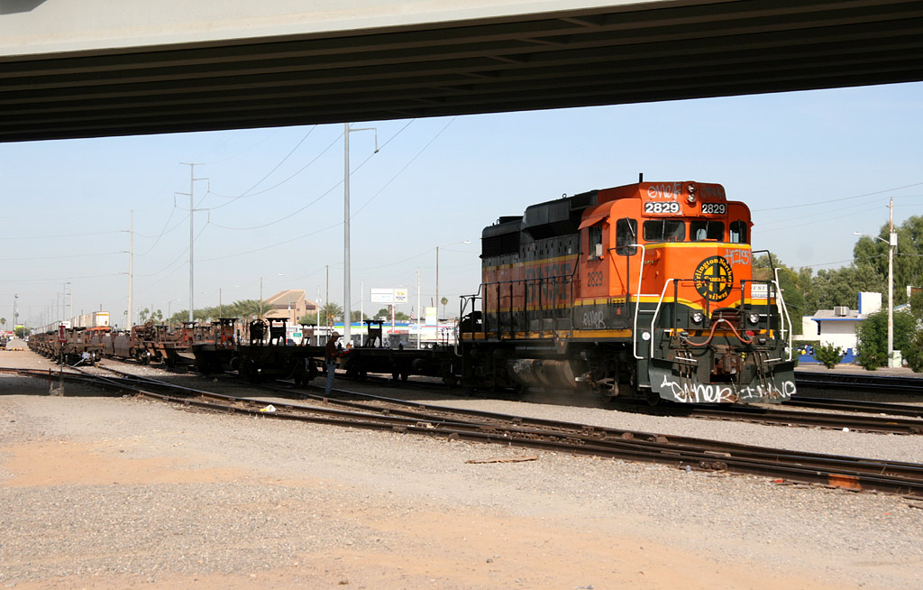
Right - GP39M 2829 in H1 colors working the North Glendale Yard on 10 Nov 2009. The overpass is West Maryland Avenue.
Further
northwest along Grand Ave, just past Thomas Road at Milepost 186 is the TOFC / COFC
yard (trailer / container on flat car) known as "The Dock." This is the main
loading/offloading facility for intermodal trailers and containers. Just north
of the ramp is Bethany Home Road and beyond that intersection are additional
Glendale yard tracks dedicated to storing inbound loads and outbound empty intermodal
platforms and empty TOFC/COFC. You'll find a nappy ex-ATSF caboose parked fairly close to Bethany Home as well.
The daytime job assigned switching duties at the ramp is the O36...the nighttime job is the
O33. The trackage north of Bethany Home Rd is known as North Glendale Yard and is several tracks deep. Primarily used to
store TOFC/COFC loads and empties. Occasionally manifest freight will be set out here too.
 -- MP
183.7 -- 60th Ave / Palmaire Ave. [ 200 ]
-- MP
183.7 -- 60th Ave / Palmaire Ave. [ 200 ]
The old ATSF depot at Glendale
is located just north of MP 184, between Glenn Dr and Palmaire Ave. The Glendale
station sign is
just north of Palmaire Ave. When traveling away from Phoenix, 'Restricted
Limits' ends and Track Warrant Control begins at MP 181.2, approximately where
75th Ave crosses the Peavine at grade. This is also where Olive Avenue is located on a flyover.
Restricted Limits Glendale -- MP 181.2 -- 75th Ave and Olive Ave. [ 198 ]
 -- MP
179.9 -- Between 81st and 83rd Aves. [ 197 ]
-- MP
179.9 -- Between 81st and 83rd Aves. [ 197 ]
This 2000+ foot long team track often hosts lumber cars and
box car loads of flagstone for unloading by local dealers. Since 2006, flatcars of
various sizes of black underground pipe is a popular here. On Oct 15, 2005 the annual "Children's Special"
passenger special used Peoria instead of Glendale due to
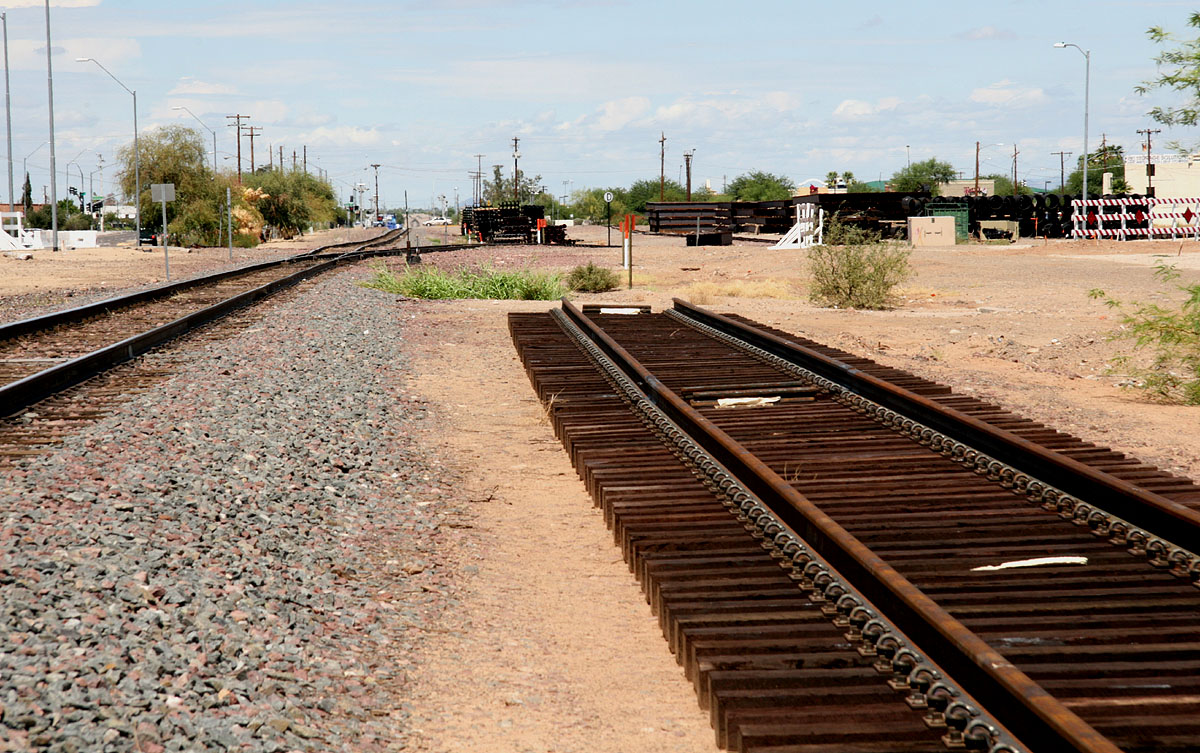
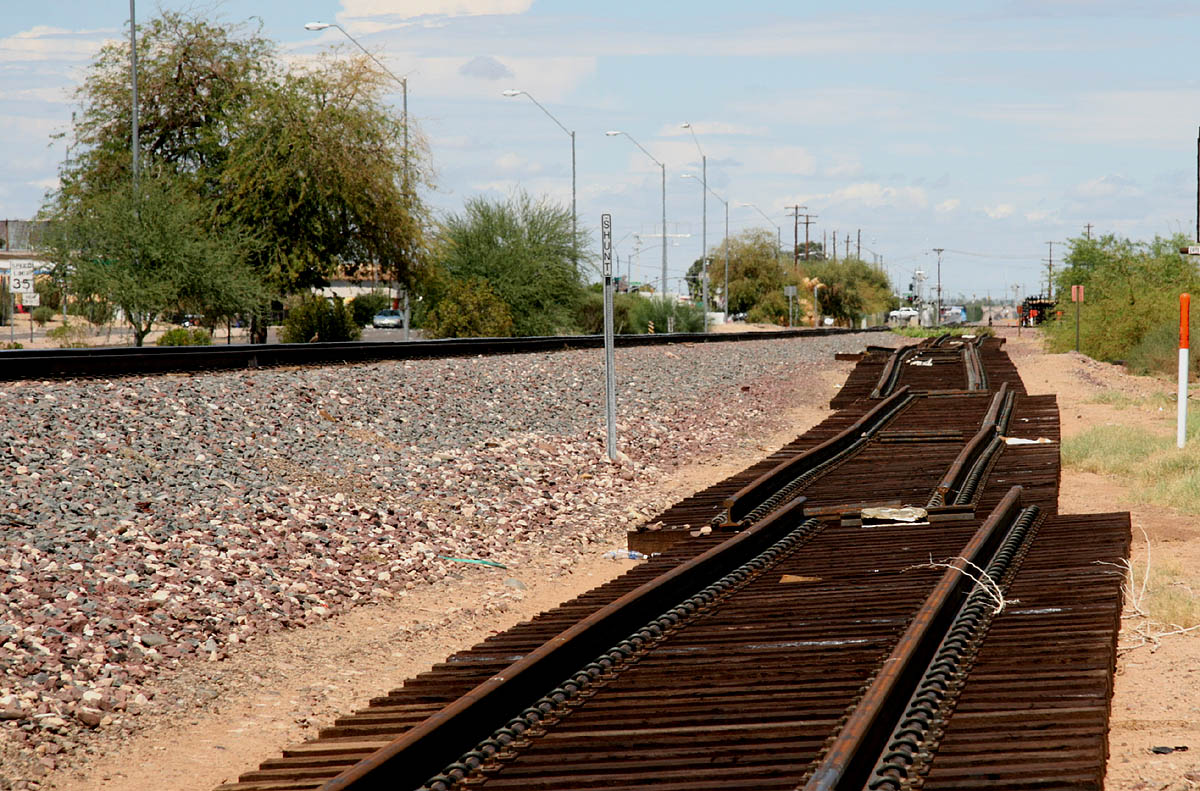
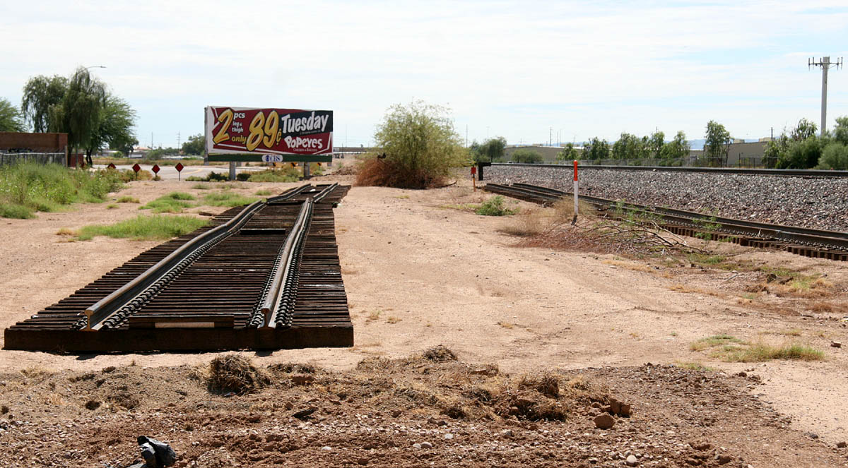
During the summer 2008 I was informed some new tracks have been laid out for a possible new spur siding. These pieces of sectional track are located near the new Peoria Super Wal Mart near
the now closed 81st Ave grade crossing. In late August I finally ventured to the site to check it out. Since the tracks are not visible from Grand Avenue unless you're in a very high vehicle you should
go to the Wal Mart side to view this. Below are a few photos I snapped. The first two are to the north and the third to the south.
Arizona Public Service -- MP ~178.5 -- Near 91st Ave [ 195 ]
The APS
spur leads to a small fenced facility bounded by 91st Ave on the west and Cactus
Ave on the north. The BNSF use this facility to store a lot of right-of-way
related materials including pre-fab track. There is also an old brown bay window
caboose within the yard and a former N&W box trailer.
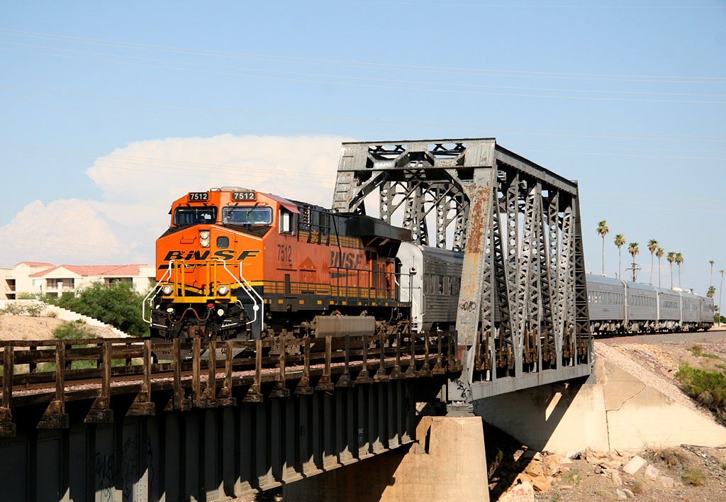
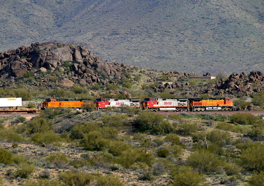
Arizona Sand and Rock (Vulcan Materials Group) -- MP ~175.3 -- Between Agua Fria River Bridge and El Mirage Curve [ 192 ]
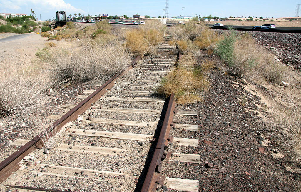
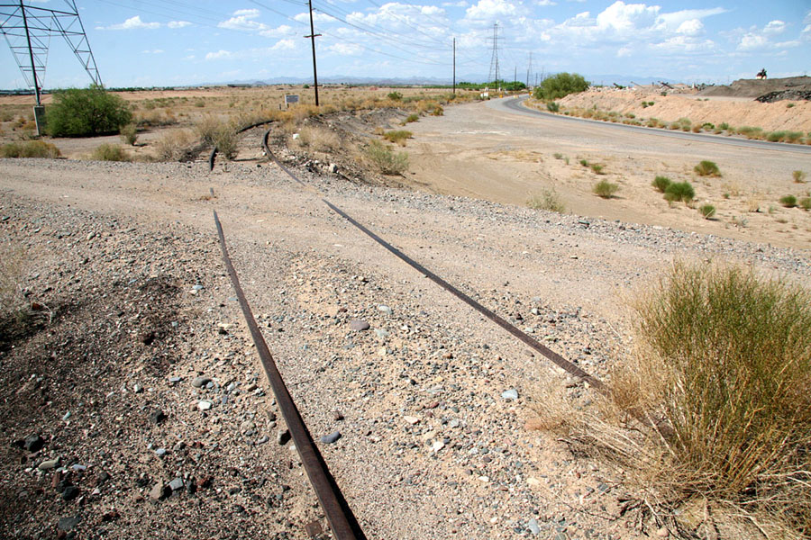
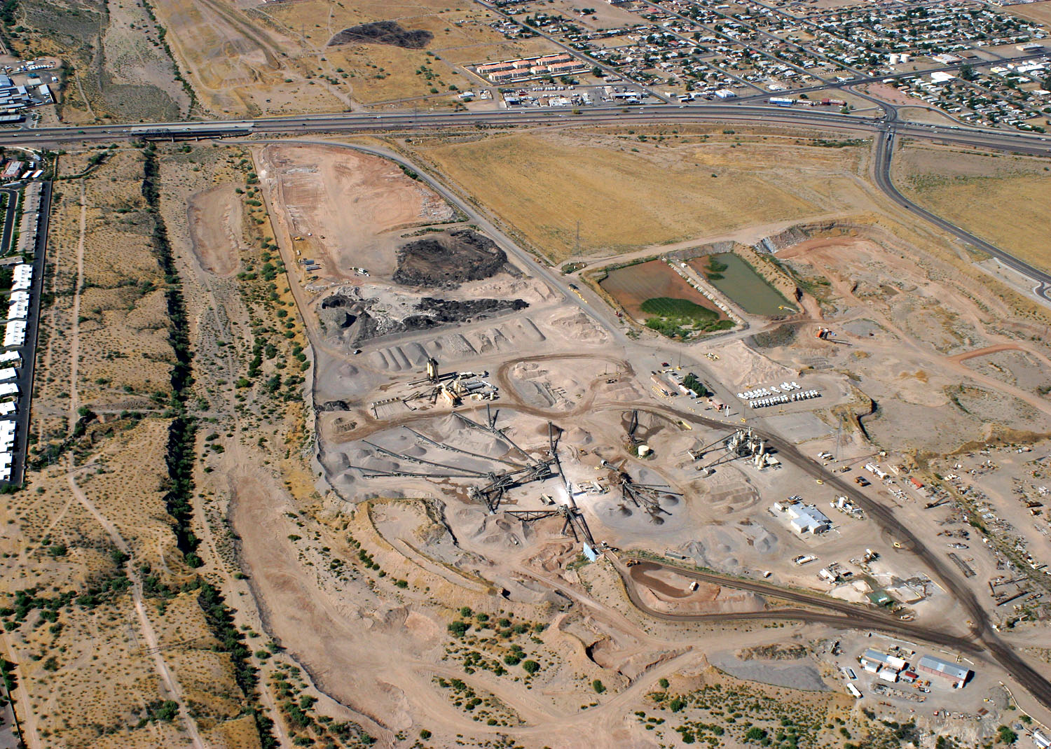
Having lived here for over four years now, I only found out about this former spur track in mid-2007 when I got Bob Wirth's
Phoenix Sub route for Microsoft Train Simulator. The quarry is currently operated by Vulcan Materials Group and plenty of trucks haul materials out of the pit. Sure enough, track still exists leading into the current quarry operation but apparently the switch was removed sometime within the past two decades.
Unless you're driving a big rig, the remaining trackage is not visible from Grand Avenue but is easily visible in Windows Live satellite and aerial photos of the area. Recently, I took the liberty of parking alongside Grand Avenue and checking out the old spur for myself. Above are a couple photos...one looking towards the Peavine and a 180-degree opposite view. In the first view, the Agua Fria River bridge is visible a tenth of a mile or so railroad west. The aerial photo of the quarry is a view to the south I took from a Cessna back in mid-2005 before I even knew the spur once existed. The old trackage is barely visible in this photo near top center just to west (right) of the paved access road that curves underneath the Agua Fria bridge. Pretty cool to see for yourself up close.
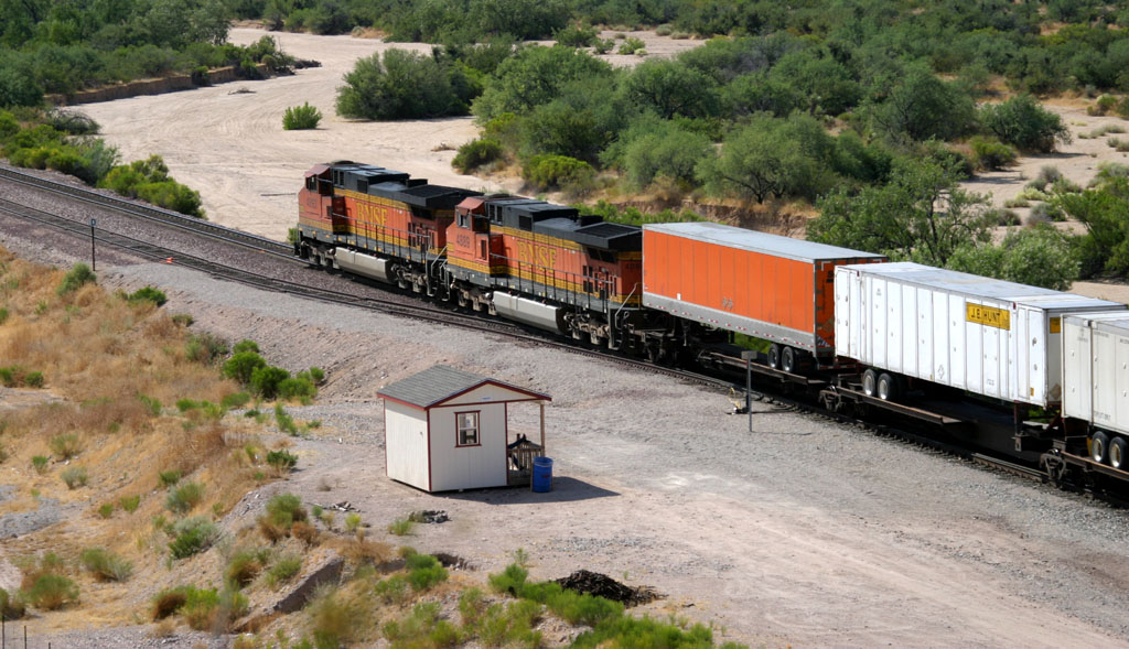
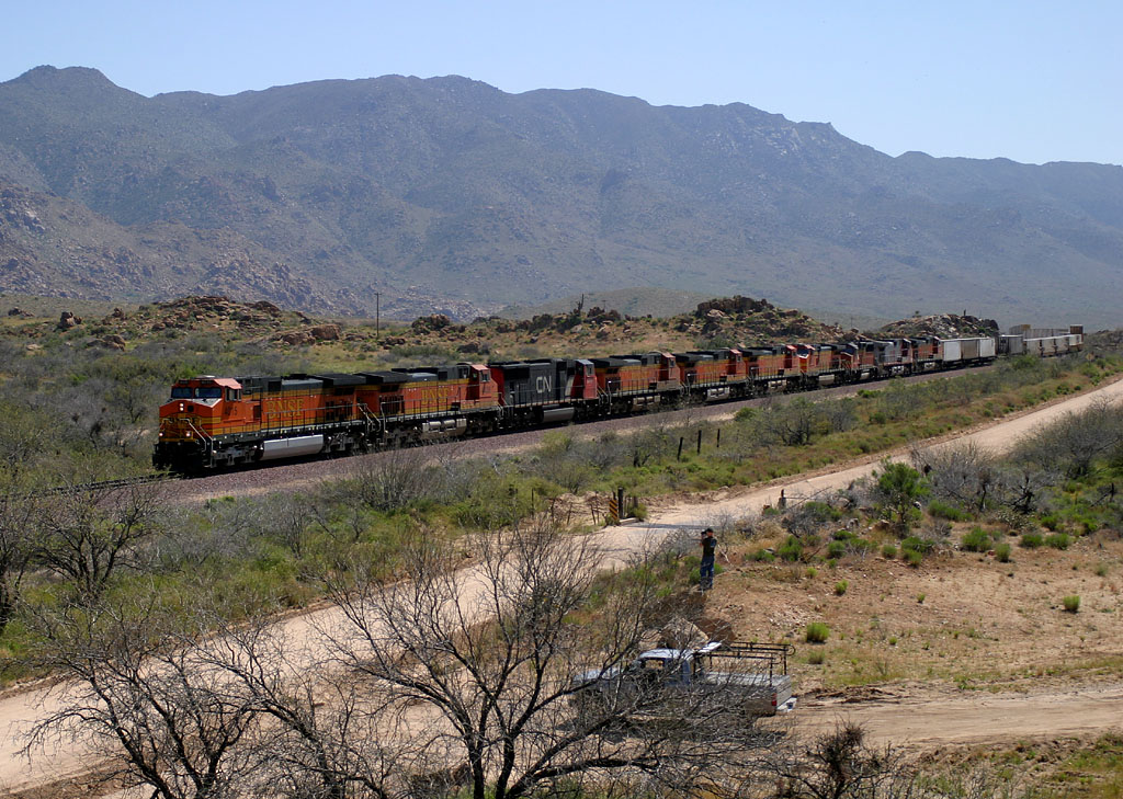
Ennis / El Mirage -- MP 173.6 -- Between Thompson Ranch Rd. / Thunderbird Rd. and Greenway Blvd. [ 191 ]
As seen from Thompson Ranch Road, it's 0620am on 19 Jun 2005 and the M-BELPHX leans into "El Mirage Curve" at MP 175. Interesting lashups such as this are becoming increasingly rare on the BNSF Phoenix Sub these days but surprises still pop in on occasion.
Left - The entrance to the BNSF Autorack facility on Thompson Ranch Road.
Right - Aerial view of the autorack facility and El Mirage I snapped from a Cessna in May 2005.
Ennis /
El Mirage has several interesting features. First, the bridge
across the Agua Fria River at MP 175.4 can easily be photographed. Second, MP
175.0 is where the track gently curves
back to a more northerly track that is close to the original alignment between
Mobest and Peoria
curve. Third, the autorack facility
is a major customer for the BNSF, and I'll include the three yard
tracks adjacent to the mainline here. Fourth, the Ennis Subdivision begins
at about MP 174.1 on the Peavine, about halfway along the mainline/yard
tracks.
Much activity can be observed in El Mirage:
--Two (formerly five) non-BNSF switchers are captive within the BNSF autorack facility for switching, well,
autoracks. With almost daily deliveries of loaded racks and empties to be
positioned for pick up, these guys stay busy, though typically only one is
working at a time.
*NEWS FLASH*February 3, 2007
pre-dawn saw the arrival of a GP-7u #1312 lettered for Gavin Rail-Services. This
unit was set out by an inbound vehicle train at El Mirage, and based on scanner
chatter, this is the JTPX 1312 destined to work in the autorack facility, though it doesn't
display JTPX marks externally. I only heard it referred to as JTPX on the scanner when it was originally being set out.
Click here to see a photo of this new arrival. Photo taken shortly after sunrise on Feb 3, 2007.
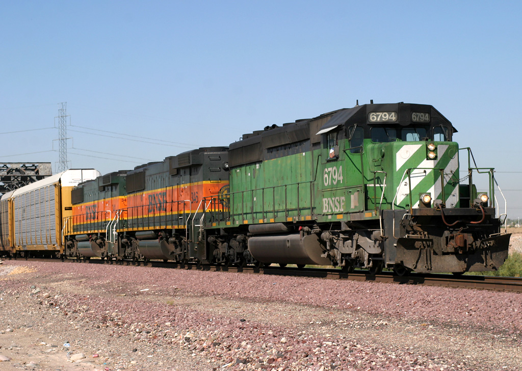
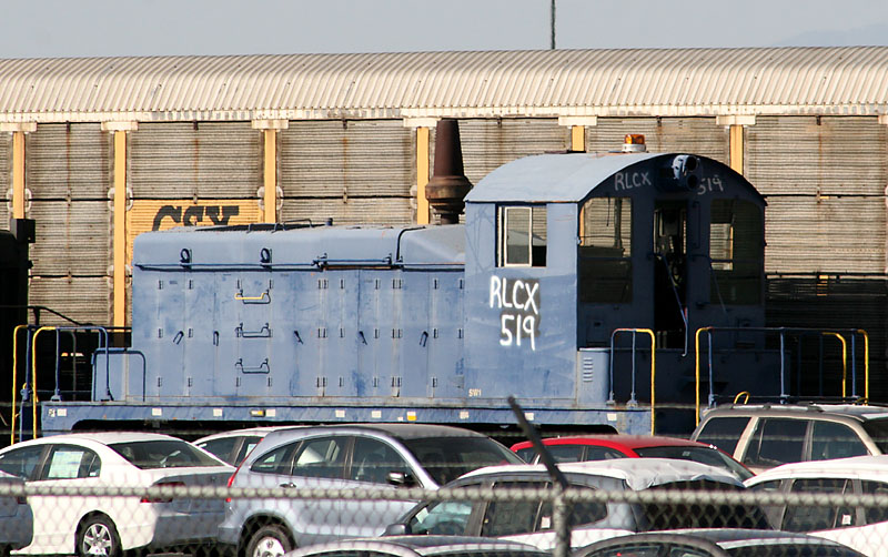 RLCX 519 nee NIS 202 21 Sep 2007 |
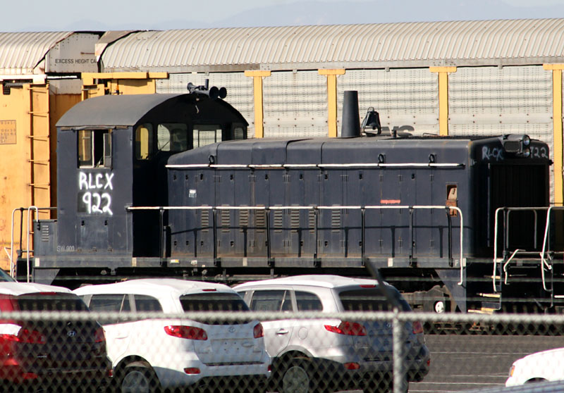 RLCX 922 nee NIS 1992 21 Sep 2007 |
 RLCX 1241 nee JTPX 1215 21 Sep 2007 |
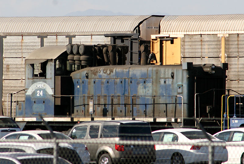 AZER 24 21 Sep 2007 |
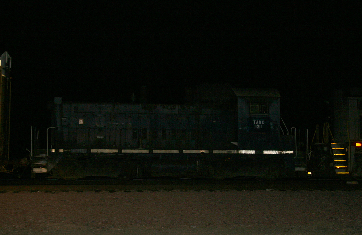 ex-AZER 24, now TANX 1211 5 Aug 2008 |
 Gavin Rail-Services 1312 3 Feb 2007 |
 Inter-Rail Transport of El Mirage 1312 5 Apr 2008 |
 Inter-Rail Transport of El Mirage 1312 30 Jan 2009 |
 LSLX 1712 25 Jul 2008 |
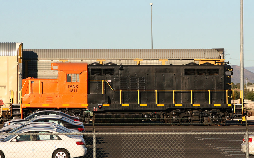 TANX 1811 30 Jan 2009 Former LSLX 1712 |
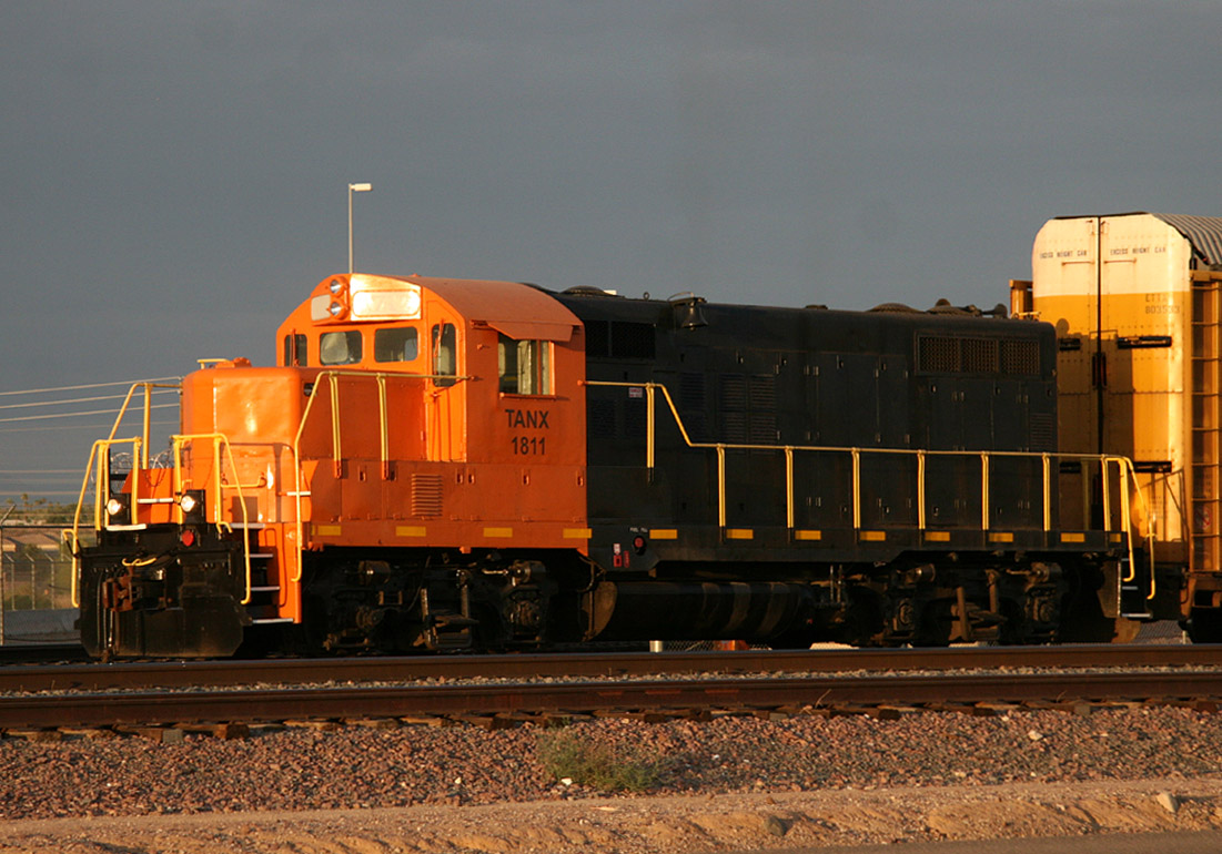 TANX 1811 25 Jun 2009 Former LSLX 1712 |
 -- MP
172.5 -- East of Dysart Rd. [ 190 ]
-- MP
172.5 -- East of Dysart Rd. [ 190 ]
Surprise is a station sign and short 1233' long
double-ended siding
track. Cars are often set out here by the O35 and the siding is used
periodically as a team track. I've seen large electrical components on
depressed-well flat cars parked and unloaded at Surprise. The sign and track is
located just railroad east of the Dysart Ave grade crossing.
 -- MP
171.6 -- East of Bell Rd. [ 189 ]
-- MP
171.6 -- East of Bell Rd. [ 189 ]
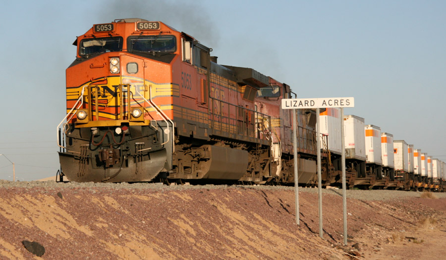
Lizard Acres is
located in Surprise just north of Bell Rd and is the site of a major lumber
customer for the BNSF. During the day, it is served by the O35 job, which
also serves the Ennis Sub. At night I've occasionally heard the job as the O39.
 -- MP 169.2 --
  Between Meeker and R.H. Johnson Blvds. [ 186 ]
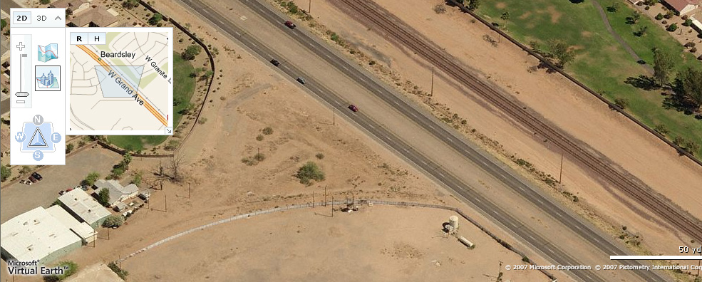
Aerial photo of Beardsley taken June 4, 2005 shows an M-BELPHX in the hole waiting for the eastbound pig train. Of note near the upper right you can see the remnants of the possible wye that used to connect to the branch line to Fennemore and McMicken to the south.
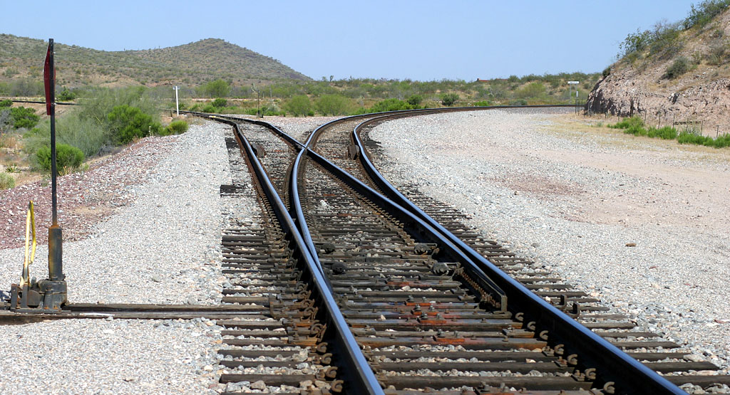
Beardsley is located in Sun City West
/ Surprise between MP 170.1 and 168.8 and is the first major passing track out
of Phoenix. The BNSF identify Beardsley as Double Track Main 1 and Main 2, the
through route being Main 2. Until mid-2005, the station sign was
located approximately half-way between the switches, and the dispatcher
identified each end by it's milepost. Apparently a change in company policy
created "West
Beardsley" and "East Beardsley"
and new location-specific station signs were placed at each end and the old sign
in the middle removed. Dispatching took on a new flavor with "D.T.-Double Track
East/West Beardsley" (as appropriate) lingo now used when issuing track
warrants. The same lingo now also applies to Skull Valley (don't you love that
name??) and there are new stations signs up there as well. Since right-hand
running is the rule, east bounds take the straight route (Main 2) and west bounds
take the diverging route (Main 1.) To facilitate this, spring switches are
located at each end. The switch at the east end is always set for the diverging
route (Main 1) so crewmen don't have to stop and re-line switches. When an
eastbound gets to the switch, the spring mechanisms easily give way to the
wheels as they pass through. The same occurs when a westbound on Main 1
re-enters the main at the west end.
Decades ago a wye and spur used to exist at Beardsley. The spur track was much like
the current Ennis Sub in the way it diverged away from the Peavine. It headed in a
southwesterly direction then turned south, eventually arriving at the current Ennis Sub location
of Fennemore, continuing south for several more miles and ending at the location known
as McMicken. For some reason, this wye and spur were not included in Bob Wirth's Phoenix Sub route for
Train Simulator...he included a lot of track that no longer exists but not the old track
at Beardsley. In September 2007 I learned some of the former wye roadbed is
visible on the west side of Grand Avenue where the wye once existed. Below is a screen
shot from Windows Live clearly showing the remnants of the former roadbed. Like all my thumbnails, click
on it for a larger image.
 -- MP
157.6 [ 175 ]
-- MP
157.6 [ 175 ]
Aerial view of Wittmann.
Wittmann is a small town and hosts a short siding and station sign.
Often you'll find a cut of cars set out here due to limitations in the various
yards in greater Phoenix. A couple miles east of Wittmann is a defect detector at MP 155.4.
 -- MP
150.3 [ 168 ]
-- MP
150.3 [ 168 ]

Westbound train in the hole at Castle Hot
Springs.
Eastbound "Repo" train pulls in the siding to meet an M-BELPHX
Castle Hot
Springs is located in Morristown between MP 152-150.5, and is the second
major passing track (7100 feet) out of Phoenix. Unlike the Double Track at Beardsley, dispatchers
refer to it as a typical siding. Many meets occur here and, interestingly, this is where
the Arizona & California (AZCR) interchange trains with the BNSF, currently
nightly except Saturdays. Usually the interchange occurs in the middle of the
night but on occasion one or both railroads will run late and a daylight
interchange occurs. If you happen across this as I did you might be
fortunate to be in Wickenburg when
the AZCR runs through town enroute to Castle Hot Springs. I was elated even with
an hour-plus wait (short by any railfan standard) that I was going to photograph
them during daylight. The interchange is a simple process of swapping
locomotives on the respective trains. Both trains usually operate with multiple
locomotives connected back-to-back to simplify operation. There is also a short
way track (stub) at the railroad east end of the siding. Additionally, here the
Peavine temporarily diverges away from US 60 to the west but is visible
intermittently before temporarily becoming visible again in Wickenburg Canyon.
"Wickenburg Canyon"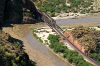
Wickenburg Canyon is just east of
Castle Hot Springs.
The above thumbnail links to some aerial photos I
took while flying above the canyon.
Wickenburg Canyon is a picturesque
place with (unfortunately) limited road access. After departing Castle Hot
Springs, the Peavine snakes north toward Wickenburg. The first bridge I
have found from public access is a deck girder bridge over the dirt road named
McCarroll Rd. The second is a truss bridge that crosses the Hassayampa River
at MP 147.2, and is easily photographable from US 60. North of this bridge the
line closely follows the (usually dry) river along the western bank. A highwater
detector, at milepost 144.3 (and another at MP 146.6) protects trains from encountering water on the
tracks during the wet season(s), though the detectors sound throughout
the year when a train approaches. Eventually the lush trees that highlight this part of the drive to
Wickenburg completely obscure the line for several miles until you get to
Wickenburg.
 -- MP
139.6 [ 157 ]
-- MP
139.6 [ 157 ]
Left - Eastbound pig train passes MP 140 atop the route 60 bridge.
Right - Westbound M-BELPHX passes the ATSF 2-8-0 near the MP 140.
Wickenburg is a quaint Arizona town with a charm all
it's own. In downtown, near the station sign, a
former ATSF depot
stands in company with an old ATSF steam locomotive and caboose. To locate
these, follow signs to US 93. Incidentally, just beyond the US 60/US 93 split,
US 60 goes under the Peavine and heads west. Drive far enough on US 60 and
you'll encounter the AZCR at Aguila and eventually end up in Parker, home of the
AZCR. After turning right on US 93, take any of the first few left hand turns to
reach the tracks and you'll find the depot. A bit further to the north is the
station sign and a BNSF company building. Decent photo ops exist for either
east- or westbound trains depending on time of day/year. Here is an aerial
photo of Wickenburg showing the Peavine crossing through center of photo.
Also visible are the ATSF steam engine, caboose, and depot. A defect detector is located a couple miles east
of Wickenburg, near Vulture Mine Road, at MP 137.9.
 -- MP
135 [ 152 ]
-- MP
135 [ 152 ]
*NOTE* During March 2007 I noticed there is now
a metal gate blocking vehicle access on the rough dirt road about half way to
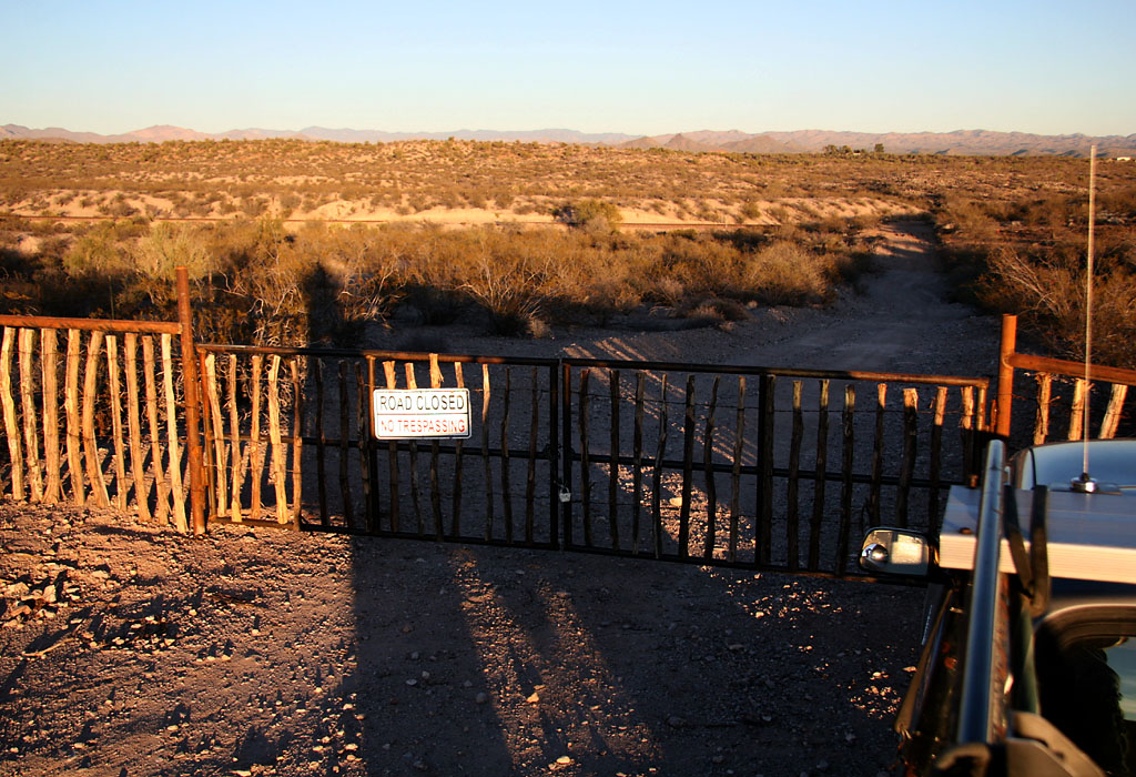
the wye after getting on the dirt road. Additionally, During Dec 2007 I found a private property gate (not a railroad gate) further back that further restricts access. In the following paragraphs, any references to driving around while at Matthie Wye was when you could get there in a vehicle.
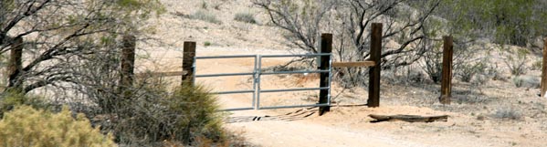
Left -The newly-installed gate as seen from the right-of-way. North is to the right.
Right - Additionally, on Dec 30, 2007 Brian and I found this new private property gate further blocking access to the dirt trail that leads to the gate near the tracks. Guess vehicle access to Matthie is now pretty much out of the question. The Peavine is visible in this view to the East. North is to the left, Matthie Wye is to the right.
Below are some photos taken during times when vehicle access to Matthie Wye was not a question...you could drive right to it by following Matthie Ranch Road and then a dirt path.
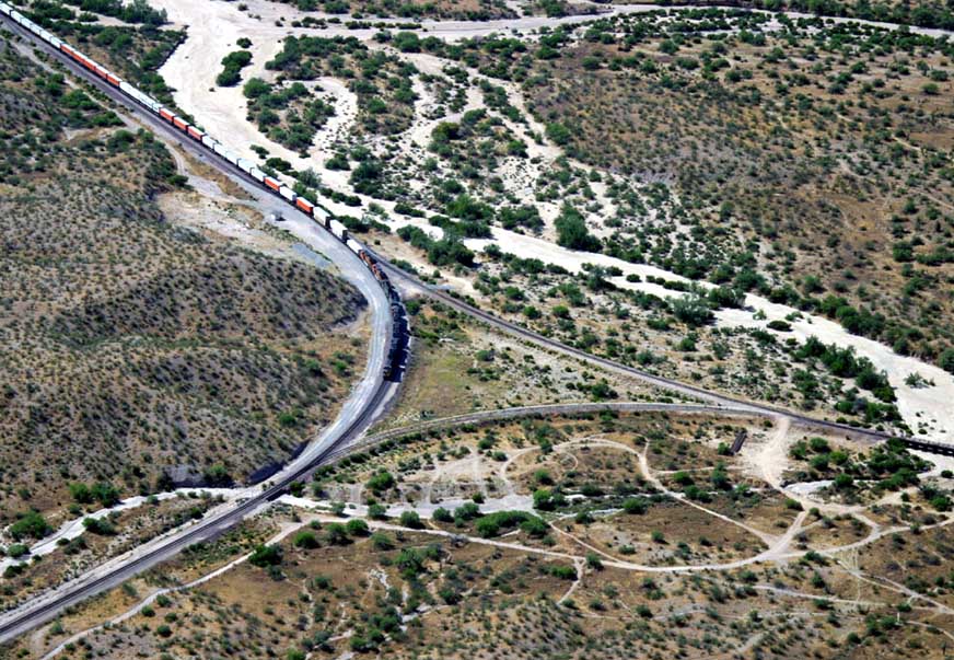
Left - Aerial view of E/B pig train at Matthie. The Arizona & California RR is the line to the right (west) of the Peavine.
Center- Elevated view of the east leg of the wye...rarely used except abnormal circumstances.
Right - View of a W/B Z train at approximately the MP 134. Just visible behind the rear stacks is the Highway 93 bridge over the Peavine.
Left - Looking RR west (towards Phoenix) from the west wye switch. The siding in the distance is rarely used.
Right - Elevated view of the east end of the siding as a w/b Z train passes by.
Left - Looking RR east from west switch. Peavine goes to right...Arizona & California diverges to the left.
Center - Peavine curving to the north between the wye switches. Nice house on the hill!
Right - East Wye Switch Matthie looking north (RR east) along the Peavine.
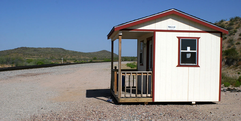
Another view of the shanty at Matthie Wye.
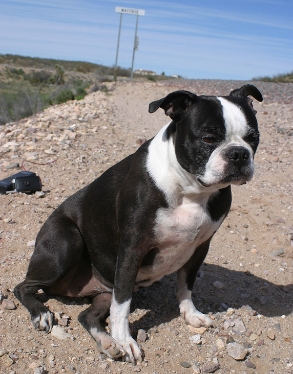
My train-chasing buddy Penny Lane, a Boston Terrier. At right, clearly she has had enough train chasing for the day.
A Link to a Boston Terrier Photo Blog - Some great photos and anecdotes about these playful pups
Matthie is
located at MP 135, a few miles north of the town of Wickenburg. This is probably
one of the more interesting, and least photographed, spots along this lower
portion of the Peavine. Getting to the Wye is a challenge. You'll probably want
to get there in a vehicle since it is located a few miles off US 93. I highly
recommend 4WD, or at least a truck with high clearance. Hiking or biking in is
possible I suppose if that's your bag. The dirt access road is very rutted,
narrow, and has several rises that could cause a low-clearance vehicle to bottom
out. Once you arrive, I hope you'll find it was worth the effort, especially if
you happen to see a train or two while you're there. Unless you're the type
(like me!) who just has to go somewhere to say you've been there, Matthie Wye is
the kind of place you go when you know a train will be there, for there
is not much else going on there (like many desolate railfan
locations!)
Driving directions from Wickenburg:
US 93
leaves town in a north-westerly direction toward Las Vegas. About 5 miles out of
town AZ Route 89 diverges off to the right, and is the route you take to follow the
Peavine to the north. Don't take this route to find Matthie Wye, but do slow
down as you approach the Route 89 exit. Just past the exit and to the left is
the entrance to Matthie Ranch. Make the left turn across the southbound Route 93 lanes
and after about a mile you'll come up to the Peavine. Cross the tracks and
follow this road for a couple miles passing a few houses along the way, drive
through a couple washes, and maybe even pass another vehicle. Make a left hand
turn at the T-junction and this is where the pavement ends and the fun begins.
Eventually, the dirt road will lead you to the wye...with a good vehicle the
drive will probably take less than 5 minutes on the dirt road; probably less
than 10 minutes total from US 93. After a mile or so on dirt road, you'll come
to a left turn right near the Peavine. Go through the
opening in the wooden fence...it's meant for vehicle traffic and no signs are
present prohibiting you from proceeding. (This opening is where the previously
mentioned metal gate has been installed.) Turn to the right and follow
the roller-coaster dirt road for another half mile or so to the wye.
As
described above , you're approaching the wye from the north on the dirt road
with the Peavine to your left. The less-used leg of the wye will be right in
front of you while the Arizona & California leg is beyond that to the south.
The Arizona &
California departs to the west and eventually arrives in Parker, Arizona.
Driving around the grounds surrounding the wye you can find some photo spots.
The small hills to the east of the mainline are easily climbed to give one an
elevated view of the wye, though you must hike across the tracks to reach them.
Matthie sports a station sign that
you can try to include in a photo of a BNSF westbound on the main. The sun
angle/position favors railroad west train movements...on the BNSF this means
Phoenix-bound trains coming from the north.
Won't see this anymore. Westbound Cement Train (U-SBDPHX) holds short of the Peavine
on the Arizona & California at Matthie Wye on Feb 9, 2005. The dedicated Cement Train was
abolished in September 2006. *NEWS Flash* - Early in 2009 dedicated Cement Trains once again began operating between Southern California and Phoenix via Matthie. The most recent train
came through on 16 May 2009 and they are once again operating approximately weekly.
Looking west from my perch atop the hills east of the Wye, I viewed a meet between pig trains. The trailing end of a westbound is in the foreground while the eastbound is shown tucked away on the A&C...the head end is barely visible in the distance.
Train meets at
Matthie: While there is only a very short siding at Matthie on the Peavine
railroad west of the wye, meets at Matthie are a common occurrence...I hear them
on the scanner on a nearly daily basis. I've witnessed several as well, and for
a train crew they must be a pain in the butt...at a minimum, an inconvenience.
When an eastbound BNSF has to clear the main for a westbound, they stop short of
the west wye switch, line it for the Arizona and California leg, and one crewman
stays behind to line the switch back after his train has cleared the Peavine.
After the westbound passes, the switch is re-lined for the Arizona &
California, the eastbound reverses back onto the Peavine, the switch is then
lined for the main and the BNSF eastbound proceeds past Matthie. If it's a good
meet, this whole operation would probably take about 20-30 minutes. If you're
listening on the scanner to an eastbound coming out of Phoenix and you hear
"...to the West Wye Switch Matthie" chances are they're going in the hole for a
meet. To reverse out of Matthie, they'll request MP 137, so the train they met
will usually OS the 137 so DS can give permission for them to back out. Less
frequently a westbound will shove back into the AZCR for a meet with an
eastbound. On 26 Feb 2006 this did occur when a westbound manifest met the
eastbound morning pig train. After I heard the scanner and realized what was
going on I didn't have time to drive to Matthie to record it.
The Repo
Train: The LA-bound "Repo" train (empty TOFC/COFC) used to swap crews with the ARZC at Matthie.
If everyone was lucky, the new crew would be on hand and the swap would occur
fairly painlessly. If the new crew was not on site yet, the BNSF crew would clear up and
ties down on the ARZC just past the Matthie west wye switch. A crew van would pick up
the BNSF crew. The ARZC crew would later take the train over to Parker and beyond for re-delivery to the BNSF at Cadiz,
CA. During 2006, its become common for the BNSF to tie the train down at Castle
Hot Springs for the ARZC crew. This could also happen if the Phoenix-bound cement
train was already at Matthie on the ARZC...no longer an issue with the abolishment of
the Cement Train.
Many times I've heard the Repo train
bypass Matthie. They'll run it all the way up to the mainline and a mainline crew will take it west, often times from the siding at Canyon Diablo.
Meets on the ARZC west of Matthie do happen. The first siding west of Matthie is in the town of Aguila - about 20 miles - on US 60. The siding is long enough to accomodate just about anything the BNSF would route via Matthie. On 4 July 2008 I headed to Parker in the middle of the night and saw the Repo train meet the incoming ARZC Local at Aguila. I headed west to Parker and made it with plenty of time to
catch the Repo come into Parker after sunrise...it was worth the trip because the two locomotives
on the Repo were both SD70MACs: the BNSF 9515 and the CSX 4544.
Turning a
train at Matthie: An even rarer occurrence is when a train is turned around
at Matthie. I can imagine this is only done on very special occasions, such as
when the BNSF run their annual "Children's Special" train. When I found out the date of
the 2005 train (15 October), I cleared my Saturday calendar so I could attempt
to witness a train being turned around at Matthie. Because of construction
traffic in the immediate vicinity of the Glendale depot, the 2005 Children's Special
train boarded and departed from the Peoria team track. I followed the train up
to Castle Hot Springs (MP 150) and then made tracks for the wye. I arrived with
a few minutes to spare and with camera gear in hand, I climbed one of the small
hills east of the wye for a grand view. Not knowing which leg of the wye would
be used first, I was actually hoping for them to proceed up past the east wye
switch and reverse onto the lesser-used leg. But as the train approached, out of
sight (behind another small hill) and stopped, it became apparent the west leg
was the first route. And that's how it happened: the train took the west wye
switch and proceeded along the ARZC past their wye switch, reversed along the
lesser-used (east) leg and through the east wye switch, then with both BNSF wye
switches lined for the main they proceeded back to Peoria. I was able to get
ahead of and photograph the train at Wickenburg, Castle Hot Springs, and finally
the junction of the Ennis Subdivision at MP 174.
Another rare occurrence happened on
12 July 2006. In El Mirage, I watched an 11-unit set of lite power roll through.
At Beardsley they got a warrant up to the west wye switch at Matthie, where they
were instructed to clear the main for a westbound Z train. A while later, the
crew asked to change their GTB (General Track Bulletin) to read the BNSF #7662
which happened to be the trailing locomotive of the 11 unit set. They
got a new warrant issued further east and utilized the rarely-used east leg of
the wye to rejoin the Peavine. Essentially, they turned the power around using
the wye thus placing ES44DC #7662 on the point instead of the veteran, spartan
cab Norfolk Southern Dash 9-40C #8800 that was on the point when they departed
Phoenix. Definitely would've been cool to watch except that it was probably over
110 degrees up there and I just didn't have time to get up there.
Exploring the Arizona & California portion west of
the wye: Last couple of trips to the wye, I discovered a dirt road you can
drive west along this line. I've been only a mile or so past the small trestle
bridge just west of the wye, so I don't know how far the dirt road goes...but I
hope to find out some day. Following this road allows you to set up for a photo
of a westbound train on the ARZC. The line has several respectable curves, so
depending on time of day, you might find a spot with decent lighting. At any
rate, most of the time you'll have to hike across the tracks to get to the south
side for a sunny-side photograph. Later in the day, the sun may favor a spot
from the north side of the tracks, depending on your location and curvature of
the tracks.
As far as I know, or unless the dirt road mentioned in the
paragraph above connects to a civilized road, the access to Matthie I described
is likely the only easy way in (besides the tracks of course.) Numerous dirt trails exist in this area and some of
them may lead to other civilized roads, but the route I take to get there is the
only one I've found so far. If you know of or have found any other access roads
to Matthie Wye, please share them with us.
 -- MP
123.2 [ 140 ]
-- MP
123.2 [ 140 ]

W/B tied down at Congress on the
main.
Congress is a very small community approximately due north of Matthie Wye on Arizona
Route 89. A short siding exists here (3598 ft) and occasionally cars are set
out. Here is an aerial
photo of an eastbound TOFC crossing AZ Route 71 at Congress.
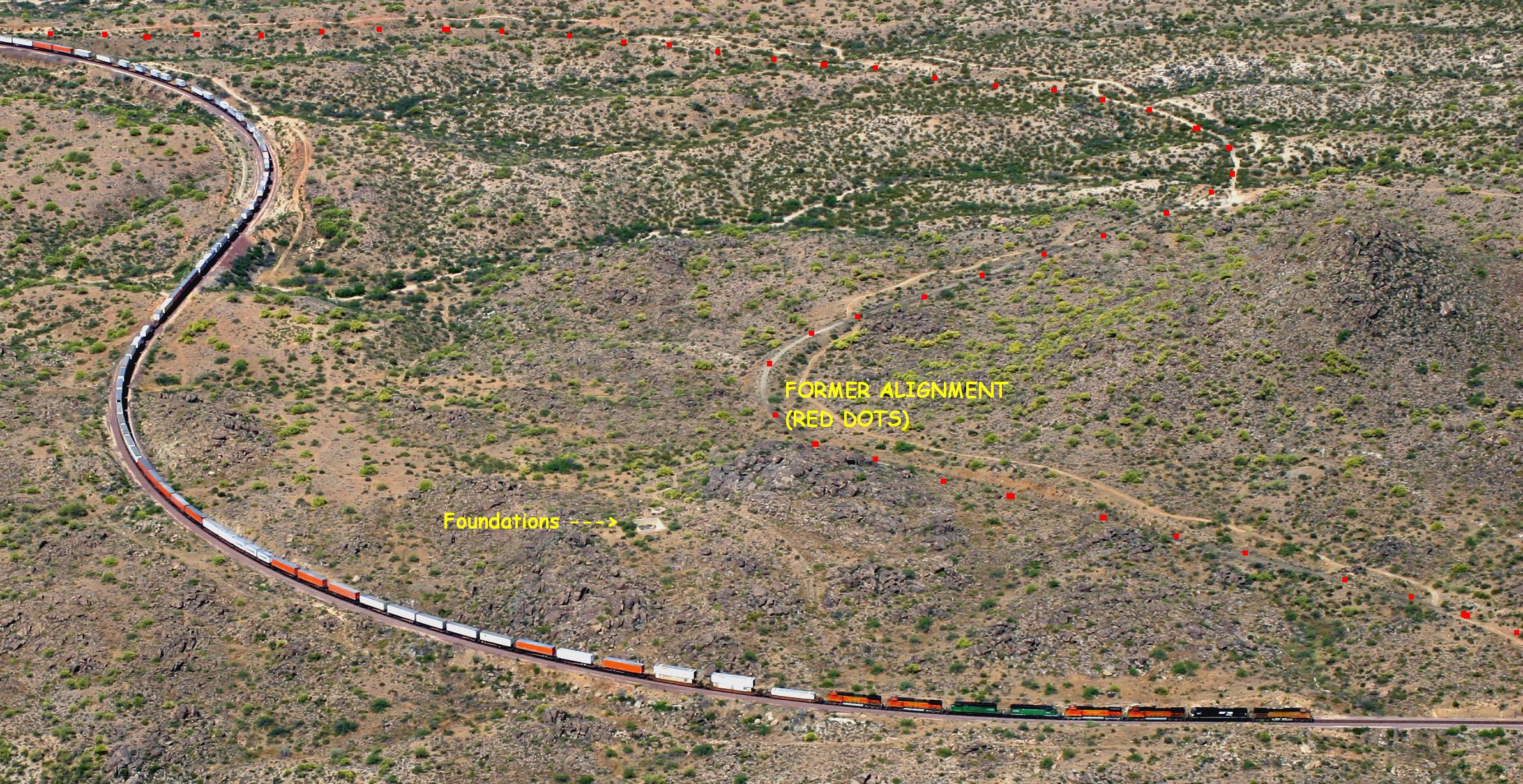
I'd like to know exactly what those foundations are the E/B pig train is passing just north of Congress. One electronic topographic mapset I have indicates a water tower used to exist at that approximate location. It's a bit of a hike to get in there from Congress but I plan on doing it some day.
If you click on the 2nd thumbnail you'll see a large aerial photo I took of a pig train at this spot. Clearly visible are the two foundations as well as part of the original alignment.
*Note*
-- North of Congress, AZ Route 89 can be used to get to Kirkland, via the
Thompson Valley Road turnoff. At Kirkland, a right turn will take you to Skull
Valley and eventually to Prescott and the more northern points on the Peavine.
Turning left at Kirkland will lead you back to Hillside. An alternate route to Hillside for
those with a tough truck is Date Creek Rd, the entrance to which is a couple
miles north of Congress on Route 89. Click here for my
aerial photo of the turnoff to Date Creek Rd.
This 20-mile dirt road is
mile-posted
and roughly follows the Peavine up to Hillside, with numerous photo
opportunities along the way. North of Date, the Peavine gets out of sight for a
few miles but then comes back into view approaching Hillside. Definitely worth
the trip if you have a tough vehicle.
 -- MP
116.4 [ 134 ]
-- MP
116.4 [ 134 ]
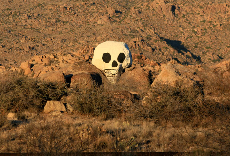
Piedmont has a short 2200+ foot
long siding. A mile or so east of Piedmont is this "skull rock" that someone has
painted.
Eastbound pig train in the vicinity of Piedmont...photo taken from a sizeable rock outcropping.
 -- MP
109.7 [ 127 ]
-- MP
109.7 [ 127 ]
You know you're at Date when you see this dip in the road and lots of trees. Also, a couple views from
trackside.
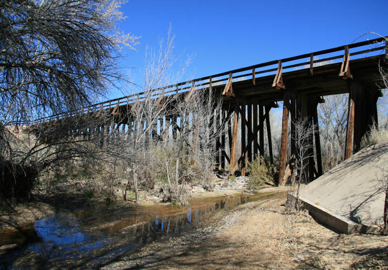
-View looking north at bottom of the low spot.
-View looking northeast at the bridge.
-Westbound M-BELPHX on the main moments before crossing the bridge.
-View looking south to the low spot...bridge on the left.
-View of the bridge from the west switch points.
-E/B Pig train on 19 Jan 2008.
-W/B Rail Train on 19 Jan 2008. Conductor is lining the switch for the main.
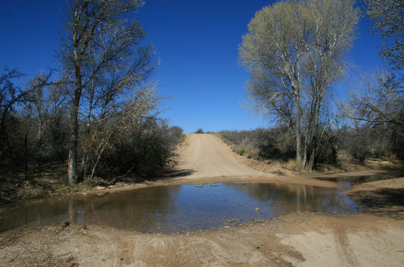
Date siding (6552 ft) is located just railroad east of Cottonwood Creek bridge.
You know you're at the bridge when you enter a low spot in the road that is
surrounded by deciduous trees that mostly obscure the bridge which is located to the
right (east) of the road. You're actually driving through the creek bed at this point. You have to drive out of the dip and pull off the road to get a good look at, but it's there, and now a little bit behind you. Additionally, a defect detector is
located a couple miles RR west of Date at MP 113.9.
 -- MP
101.5 [ 119 ]
-- MP
101.5 [ 119 ]
-Eastbound pig train rounds the curve at
Hillside...RR east of the siding.
-View of an Eastbound approaching the west end of Hillside as seen from the cab of a Westbound.
Hillside is a small town located
at the west end of Thompson Valley Road and the north end of Date Creek Rd, and
the line is easily accessible for photographs.
Hillside has a 5339 foot long passing
siding regularly used for meets. Standard practice for meets is an eastbound
train will go in the hole...something to do with minimizing potential damage to
the siding rails from a westbound braking while descending down the curving grade at
the east end of the siding. They'd rather have the eastbound in the hole while
the westbound keeps to the main. The one meet I've witnessed at Hillside had the
eastbound backing out the west switch before proceeding east versus pulling up to the east switch.
 -- MP
95.4 [ 112 ]
-- MP
95.4 [ 112 ]
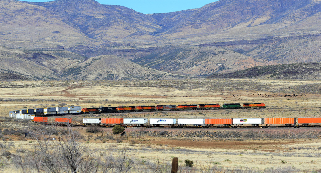
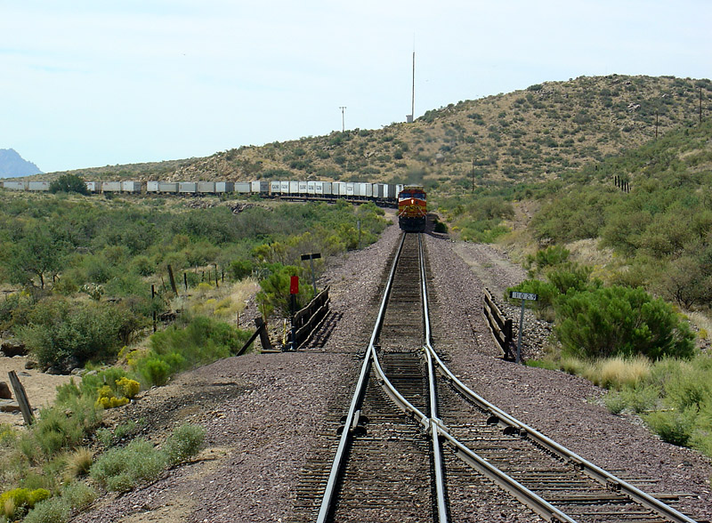
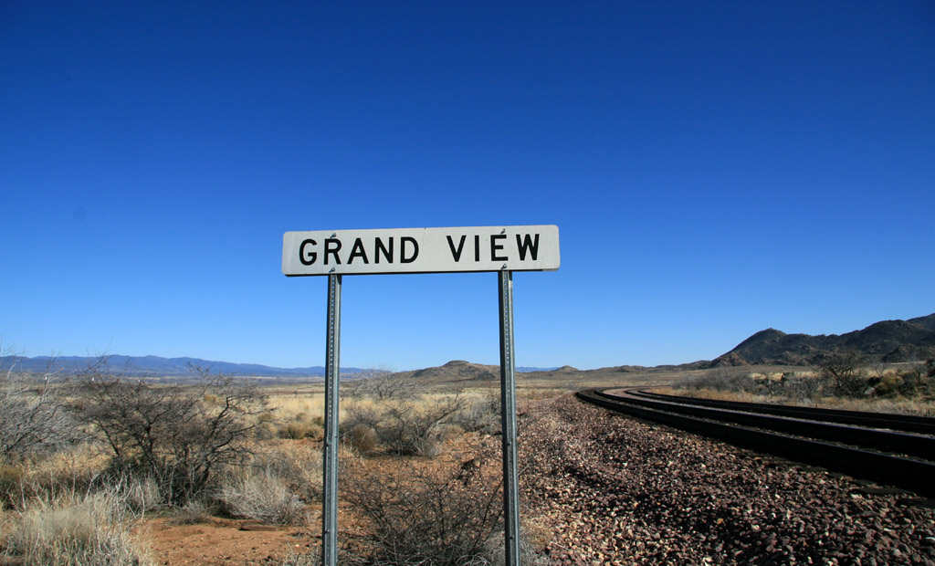
Eastbound Q-PHXCHI passes a heard of cattle while descending the loops near Grand View. This is a view looking north from the east siding switch.
Grand View has a relatively short 3996 foot long siding and
is in a very remote location...no public roads lead to it. Very cool reverse
loops are visible on atlases and satellite imagery. On the satellite images you
can easily see where the right-of-way has been re-aligned to lessen the severity
of some of the sharp curves. Look closely at other satellite imagery north of Date and
north of Congress and you'll find other examples of minor realignments...it's actually
pretty cool but then again I'm very easily amused by all this new computer technology.
On 6 January 2006 I was lucky enough to fly
over the area (and realize where I was) in a Southwest 737 enroute from Phoenix
to Reno and snap
a photo. Grand View is definitely worth checking out if you can manage to
hike or bike in, but it's about 6 railroad miles from Hillside, and a rugged 8.5
miles when coming from Kirkland.
On 3 March 2007 a friend and I hiked to
Grand View from Hillside ahead of the eastbound pig train. We kept up a steady
pace and it took us just under 2 hours by following the dirt access road.
We hiked past the station sign and decided to stop at the east switch to wait
for the train. Grand View is aptly named as the view of the surrounding desert land is
pretty spectacular. The east switch is near the top of the two reverse loops,
and the loops help reduce the elevation by nearly 200 feet during the eastbound
descent into the Kirkland Valley. The
loops are actually a fair walking distance railroad east of the siding and station sign, but
they are readily visible due to the local topography. Very cool to watch a train descend here.
During my second trip in to Grand View, I took the photos below in December 2007 when I caught three trains within a couple hours: a Westbound Z, an Eastbound Baretable (with presumably empty containers), and another Westbound Z.
Conversely, hiking in from Kirkland
would be a longer trek and much more rugged. After a couple miles heading
west from Kirkland, there is no dirt road alongside the tracks. Unless you're a
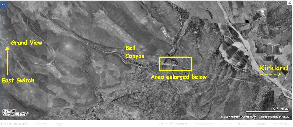
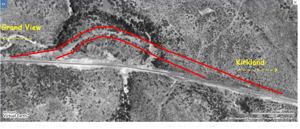
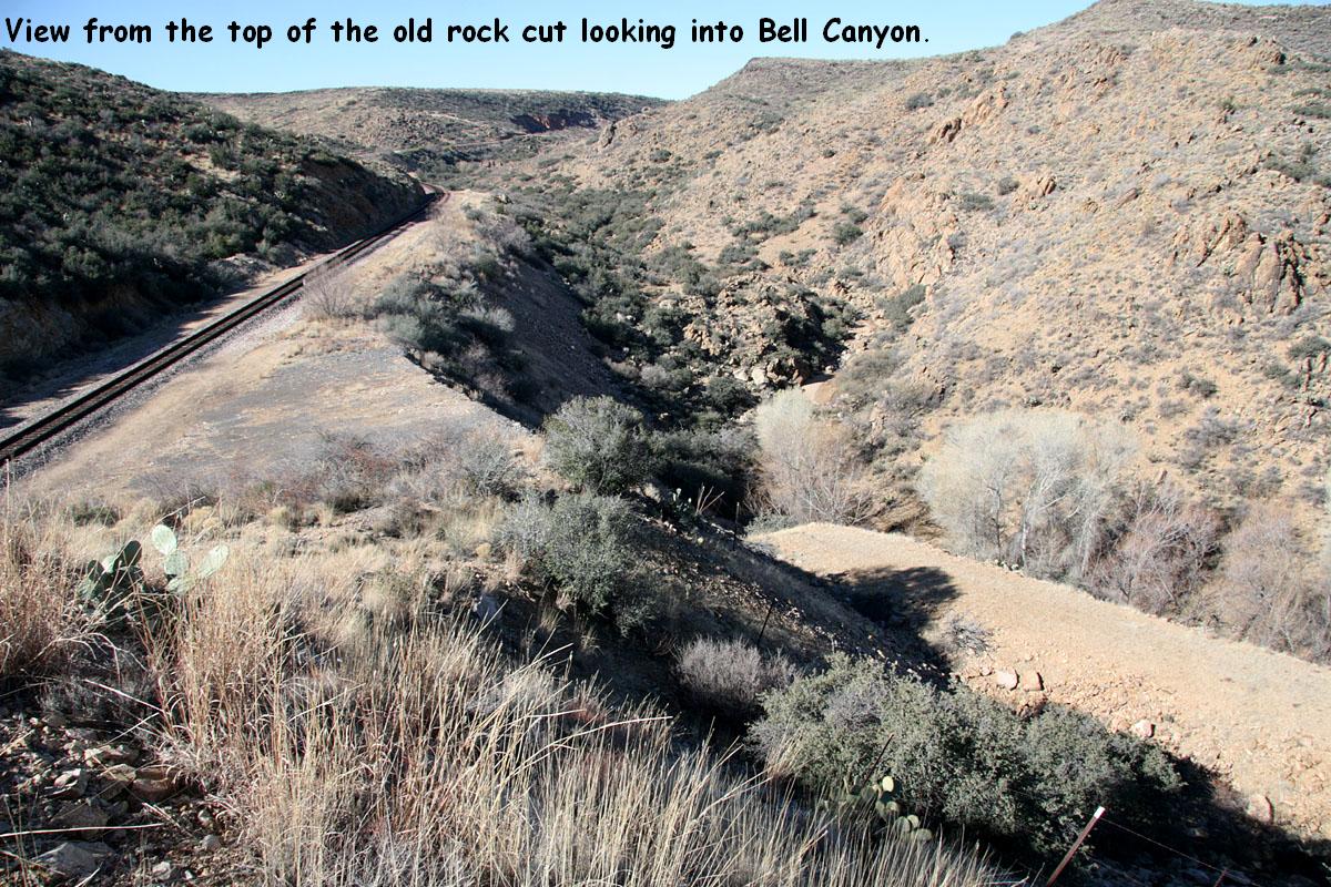
well-equipped regular desert hiker I'd not recommend it. In January 2008 I made a short hike from the high water detector west of Kirkland up to MP 91 to check out the location of a minor track realignment. Two images from Microsoft Live Search Maps show the general area
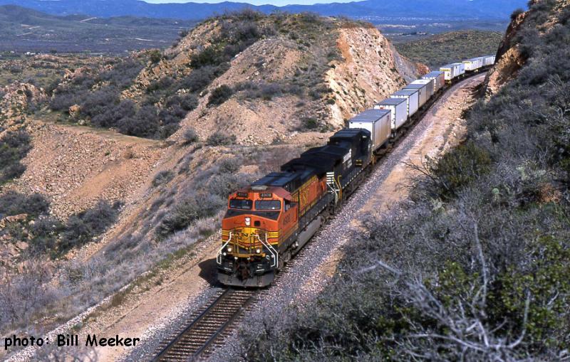
of the minor track realignment. Click on the thumbnails for larger images. The red lines on the bigger close up photo straddles the old alignment. Below the two aerials are some photos I took during the hike. The last image is by Bill Meeker and shows
a westbound passing through the area.
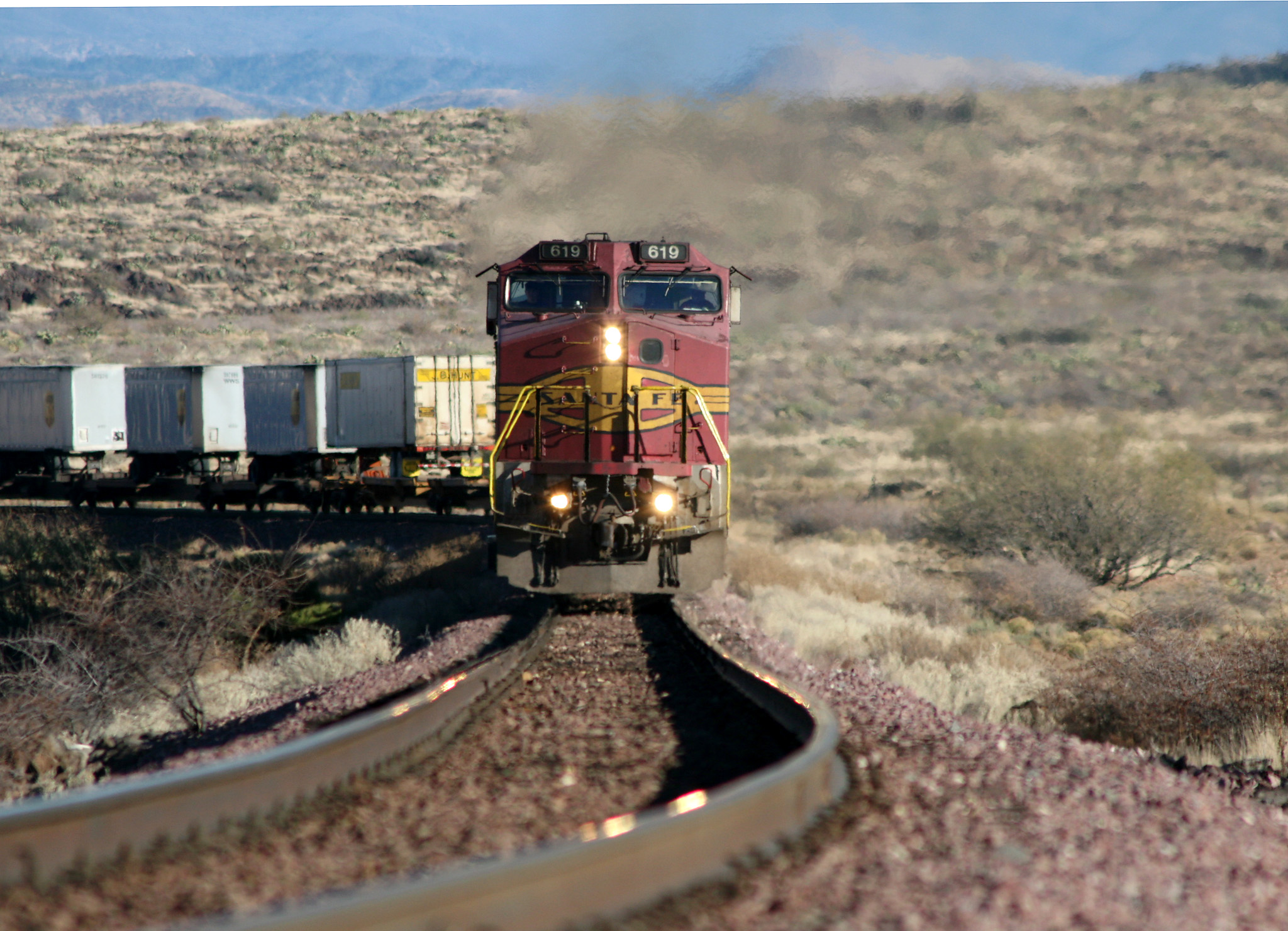
Page 129 of David F. Myrick's book "Santa Fe to Phoenix" references a 1905 line change "four miles south of Kirkland" that eliminated curvature and two trestles. This is very likely that realignment.
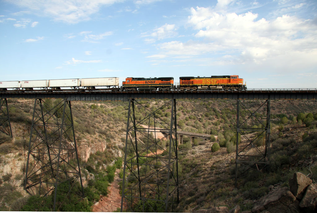
"Little Hell Canyon Bridge" -- MP
13.3 [ 44 ]
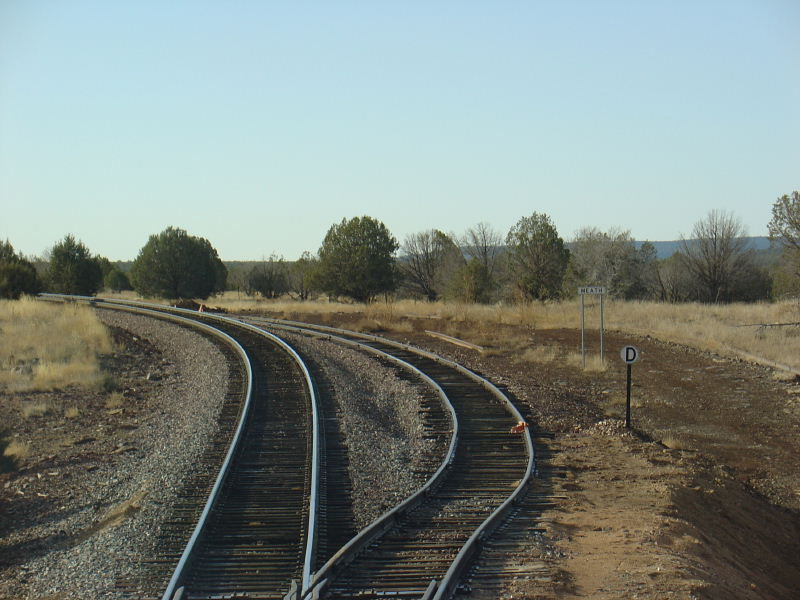
Meath -- MP 9.2 [ 40 ]
Cruice -- MP ~4 [ 34 ]
Ash Fork -- MP 0.0 / 401.2 [ 30 ]
Daze -- MP 393.3X [ 22 ]
**Note: A realignment of sorts exists between Daze and Supai (MP 381.6.) West
of Daze. Some knowledge of the pre-Crookton Cutoff history is required but I'll
try to explain the best I can from what I know. Just railroad west of Daze (at Welch) the
double track main split apart for a few miles, returning to parallel running at
Supai. The northern (old eastbound) track had been built on lesser grades and once the Crookton
Cutoff became active, the ATSF took the southern track (through Johnson Canyon) out of service. The northern track (becoming the southern track again at Welch) then
became the Phoenix line. The remaining double track west of Ash Fork (to Crookton) was also taken out of service when the Crookton Cutoff opened. Corva -- MP 390.2X [ 15 ]
Supai -- MP 381.6 [ 6.5 ] -- MP
86.8 [ 104 ]
-- MP
86.8 [ 104 ]
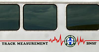
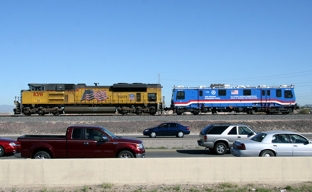
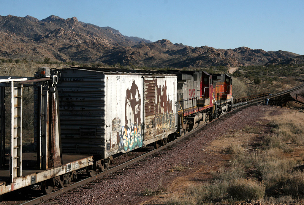
Eastbound repo train bypassed Matthie this morning and headed up to the mainline. At Canyon Diablo (most likely) the power was moved to the other end of the train and then ran westbound towards L.A. A couple days later the trailing 8610 was photographed
on Cajon Pass pulling a 2-car track geometry train.
 -- MP 80.6 --
 [ 98 ]
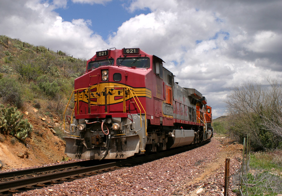
Left - Seen from the west switch, a westbound baretable awaits a crew at Skull Valley.
Right - BNSF 621 West leads a Z-WINPHX along the creek between Skull Valley and Kirkland.
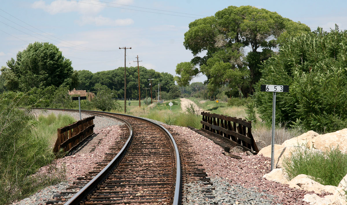
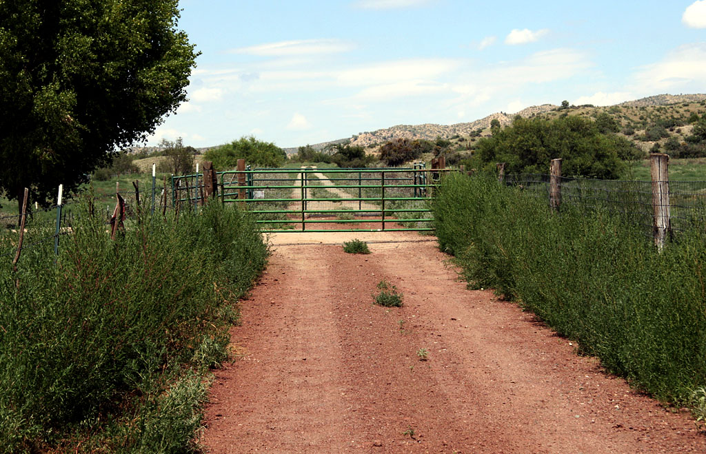
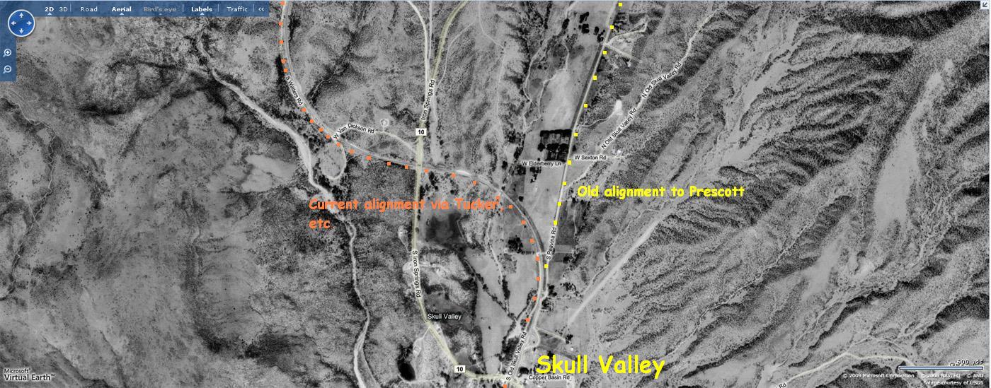
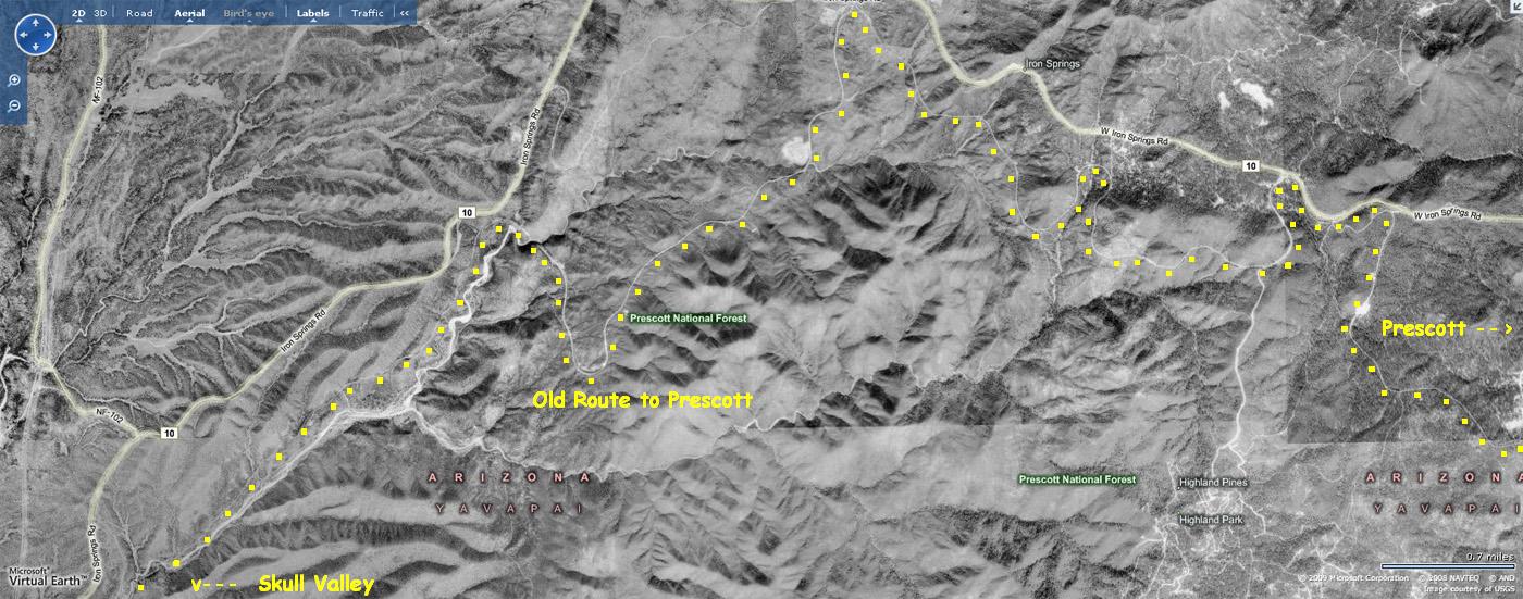
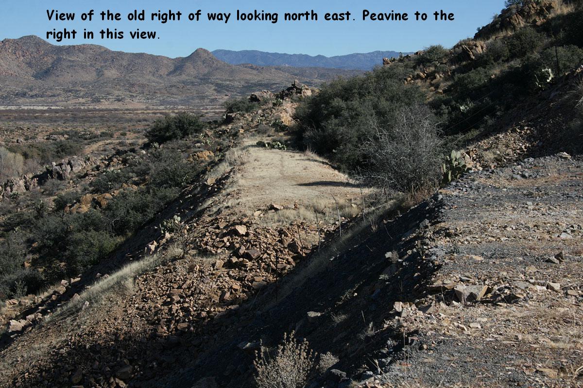
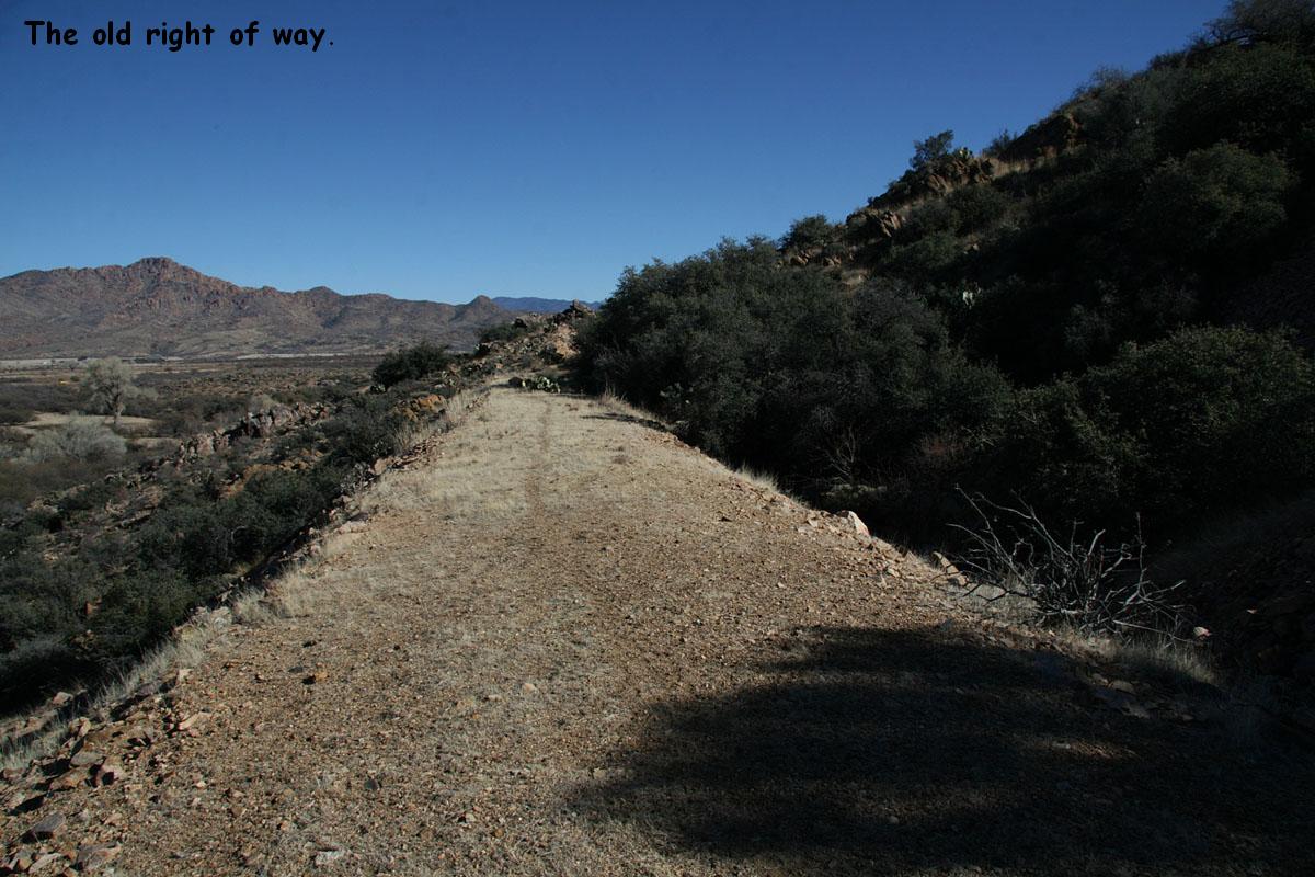
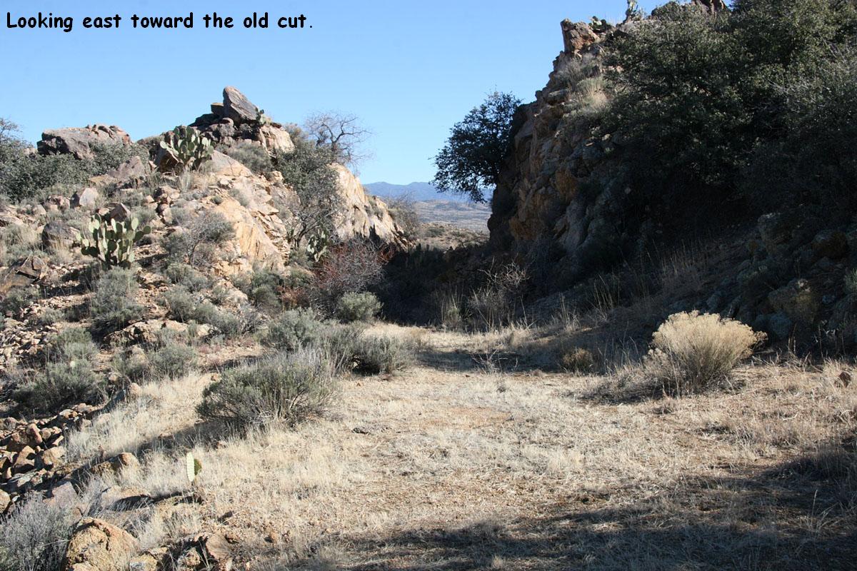
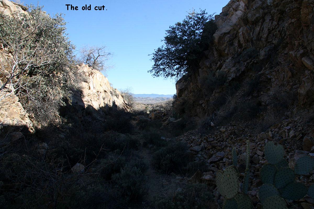
This is where the mileage equation takes effect just north of Skull Valley. Due to the 1961 Abra-Skull Valley line change, this portion of the Peavine became shorter so the difference in mileage is accounted for here. Next milepost RR west is MP 80. Additionally, the former right of way to Prescott is visible ahead as a dirt road. It dead ends less than a couple miles from here at private property as seen in the photo at the right. The mountains between Skull Valley and Prescott included 3 percent grades and a helper district. The line change solved those two issues. August 2007 photos.
The three images to the right show aerial views of the old alignment to Prescott, before the 1961 line change.
Skull Valley is the
other location on the Peavine identified as Double Track...a glorified passing
siding...and is a popular location for meets. Both switches are easily
accessible for photographs and like Beardsley both have a single signal showing
the indication of the spring switches. The double track is not tangent
(straight); it has some curves to it. As described below, a line change occurred
just east of Skull Valley. Where the tangent track ends a short distance
railroad east of the east switch, the old main used to continue on to Prescott.
Much of the old right-of-way is visible in satellite imagery (Google Earth or
Windows Live for example) and you can easily trace the route right to Prescott on the computer screen.
I explored the physical location in August 2007 and while you can follow the
old line for a mile or so north of Skull Valley on a public road, the road
soon dead ends at private property with a gate across the road.
The
current alignment makes a left-hand turn and crosses over the highway then turns
north again and meanders up the grade towards Tucker.
*Note* -- A major
realignment of the right-of-way between Skull Valley and Abra to the west of the
(then) existing line took place in 1961/1962. Effectively, the ruling grade on
this portion of the line was reduced by over half (3.0% to 1.42%), Prescott was
bypassed, and the result was a shorter Peavine. Just railroad east of Skull
Valley, at MP 79.5, the next milepost is 65.3. As a result, overall distance
between Ash Fork (MP 0.0) and Mobest (191.6) is approximately 177 miles, a
reduction of about 14 miles. Incidentally, there are portions of the line that
are still as steep as 1.82%
 -- MP
46.2 [ 77 ]
-- MP
46.2 [ 77 ]
Tucker's 6262 foot long siding is used regularly for meets.
It is accessible via Williamson Valley Rd, near Prescott. Drive northwest about
14 miles or so and the road crosses the Peavine on a small bridge. The east end
of Tucker siding is visible to the south. A defect detector is located near the west switch, at MP 46.9.
 -- MP
34.4 [ 65 ]
-- MP
34.4 [ 65 ]
Kayfour is a short siding (1880 ft) accessible from the
north end of the Chino Valley. At Paulden, AZ, from northbound highway 89, just
after you pass under the Peavine, turn left at the first road and follow the
Peavine to the west about 4 miles. Kayfour
is one of the more easily accessible locations (albeit a bit remote) on the
Peavine with tracks running east / west.
 -- MP
28.4 [ 59 ]
-- MP
28.4 [ 59 ]
Abra siding is just east of the
highway 89 underpass. Here we see a W/B Z train crossing over highway 89.
Abra's 6311 foot long siding is used regularly for
meets. Here is an aerial photo
of Abra I took in Jan 2006 from a Southwest 737 while descending toward
Phoenix. In this view to the northeast, the Peavine snakes from lower left to
upper right starting near the bottom of the photo. Easily visible are the town
of Paulden, highway 89, and portions of the old right of way to Prescott. Abra siding is
to the east of highway 89.
 / Hell Canyon Bridge
-- MP 21.3 - 21.6 [ 52 ]
/ Hell Canyon Bridge
-- MP 21.3 - 21.6 [ 52 ]
Drake is one of three
junctions along the Peavine and is located a couple miles east of highway 89 and
easily reached by the public paved/dirt road leading there. The Arizona Central
diverges to the east and the connection forms a wye. BNSF regularly make pickups
and setouts here for them. Just railroad west of Drake is Hell Canyon Bridge,
one of the scenic engineering highlights of the Peavine. Photographic possibilities exist
for the adventuresome but exploration and some luck is required to obtain the
optimum shot with a train crossing the bridge during favorable lighting
conditions. North/south alignment favors a westbound train, though a mid-summer
afternoon eastbound might be nicely side lit when viewed to the east. Best
eastbound train for this would be the pig train out of Phoenix. The weekday
trains would probably be up there around lunch time or a little later. Due to the later departure, the
Saturday train would cross the bridge later in the afternoon. A defect detector is located a couple miles
west of Drake, at MP 23.5.
Viewed to the south just after 2pm local,
the eastbound pig train crosses Hell Canyon in May 2005. Photo ops exist to the
left / right of the bridge though some exploring is necessary to find the right
spot to match the time of day and direction of train. Knowing what is coming and
setting up early for the photo is a must. This was just a quick grab shot from
the north side of the canyon...reachable with a 4WD or short hike in from the
grade crossing. South side is also accessible by a fire road a couple miles
south of the Drake entrance on highway 89.
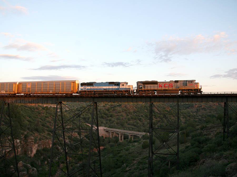
In the left shot, an eastbound repo train crosses Hell Canyon Bridge enroute to the mainline on July 14, 2007. This Eastbound is a morning shot obtainable only if a train leaves Phoenix around 0200 or 0300 in the morning...in my experience not a very common occurrence...but then I'm not omnipresent so I don't know everything that happens.
Often, the empty vehicle train departs El Mirage around midnight, and depending on any opposing traffic that train would probably be to Hell Canyon before sunrise, the exception being the longer summer days when the sun is up during the 5 o'clock hour. You're more likely to see a westbound here in the morning. The shot on the right is an eastbound vehicle train that departed El Mirage around 0100. They had to meet the M-BELPHX at Hillside and with that delay they got to the bridge just as the sun was creeping into usefulness...in this case about 0605 on August 19, 2007. Another 10 minutes or so and the light would have been a bit stronger.
-Same repo train seen above at Hell Canyon Bridge is seen from Highway 89
crossing the Little Hell Canyon Bridge.
-Westbound Children's Special train crosses the bridge enroute to Phoenix on 6 October 2006. Click HERE to view a nice webpage chock full of photographs from onboard this trip. Someone uploaded a LOT of photos
from Flagstaff to what appears to be Congress...some very cool views from onboard the rear observation car.
Little Hell Canyon bridge is visible to the west from
Highway 89 and easily accessible. Photographs are possible depending on time of
day/season. North/south alignment of track favors a westbound train. Here is a
south-looking
photo of the east side of the bridge just after a westbound Z train crossed
it .
View of the Meath spur as seen from a westbound train on the Peavine.
Not much more than a
reporting point and 500+ foot stub spur. There IS a station sign here, but
a hike is necessary to see it and it's some distance from the highway. I've never made the hike in.
Cruice (pronounced croos) is a former station on the ATSF. Accessible by taking
Bullock Rd west from highway 89 for about a mile, the track skirts a sizeable open pit quarry
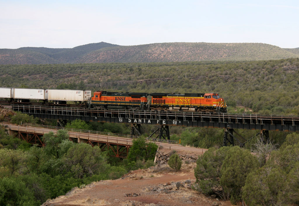
before reaching Ash Fork. Some interesting photo ops exist.
Seen from the east switch, a westbound Z
approaches Ash Fork. This portion of the line use to be on the mainline and this was double tracked. The double track
used to be to the north (left in this photo) as evidenced by the remains of a small bridge located here. The view of the bridge is from the same spot as the other photo but on the north side of the tracks versus the south side. In the third photo,
a Westbound Z train is viewed from the cab.
Until the Crookton Cutoff was built, the ATSF
transcontinental mainline use to pass through Ash Fork. Today, Milepost Zero on
the Peavine is Ash Fork, and the former north track (eastbound - lesser grades)
of the mainline between Ash Fork and West Williams Junction completes the
Peavine's journey between Phoenix and the mainline.
Ash Fork has a small
yard and 5650 ft long passing siding. Track orientation here is east/west and
the east end is easily accessible for photographs. It is interesting watching a
westbound train descend from a couple miles out and approach from the east as it
disappears behind a small hill and reappears moments later. I guess I'm just
easily amused. A defect detector is located at MP 0.4. Interestingly, the foundation for the old Harvey House is still evident in the vicinity
of the old depot.
Pronounced "Dah-zee", Daze is not much more than a
reporting point and 611 ft long stub spur. Never been there.
Because
the northern track was longer than the southern track, the Phoenix line became 4
miles longer. What would be known as MP 391 is known as MP 395X. The X is used
between MP395X and MP383X, and indicates that double mainlines are physically separated from each other by a considerable
distance. Of course, the double track no longer exists up here but the X on the physical milesposts remain.
Standard milepost notation resumes at MP 382 to MP 375.1 (West Williams Jct.)
Between Crookton and Supai you can "virtually" follow the old railroad on satellite imagery websites like Windows Live and Google Earth.
And in many places, the roadbed for the former right-of-way is easily recognizeable from the ground. If you go out railfanning the old line,
be aware of your surroundings at all times and by all means, be prepared for the extremes encountered in the desert scrub and high country
this part of the railroad is well known for. A great place to start is the Railroad Crossings page by Brett Wirick hosted by Trainweb.org
You think my webpage is wordy, you'll be reading for days on Brett's numerous pages, and there is a TON of great information to be found.
Very cool horseshoe curve at this location. Aerial imagery shows how the alignment was
significantly widened to reduce curvature. On the Windows Live aerial image, the old alignment is shown as a forest service road.
 Sereno -- MP
384.2X [ 9 ]
Sereno -- MP
384.2X [ 9 ]
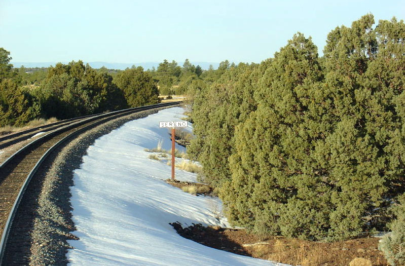
This is a view from the cab of a Westbound passing the Sereno siding and station sign.
Sereno has a 5833 foot long passing siding. Never been there.
According to published data, this is the highest point on the Peavine at approximately 6,990 feet above sea level. Additionally, a defect detector is located here.
 Williams -- MP
378.1 [ 3 ]
Williams -- MP
378.1 [ 3 ]
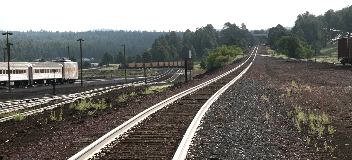
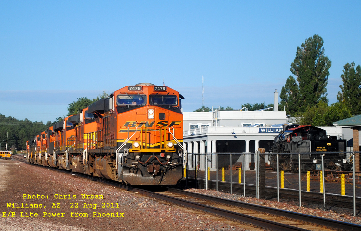
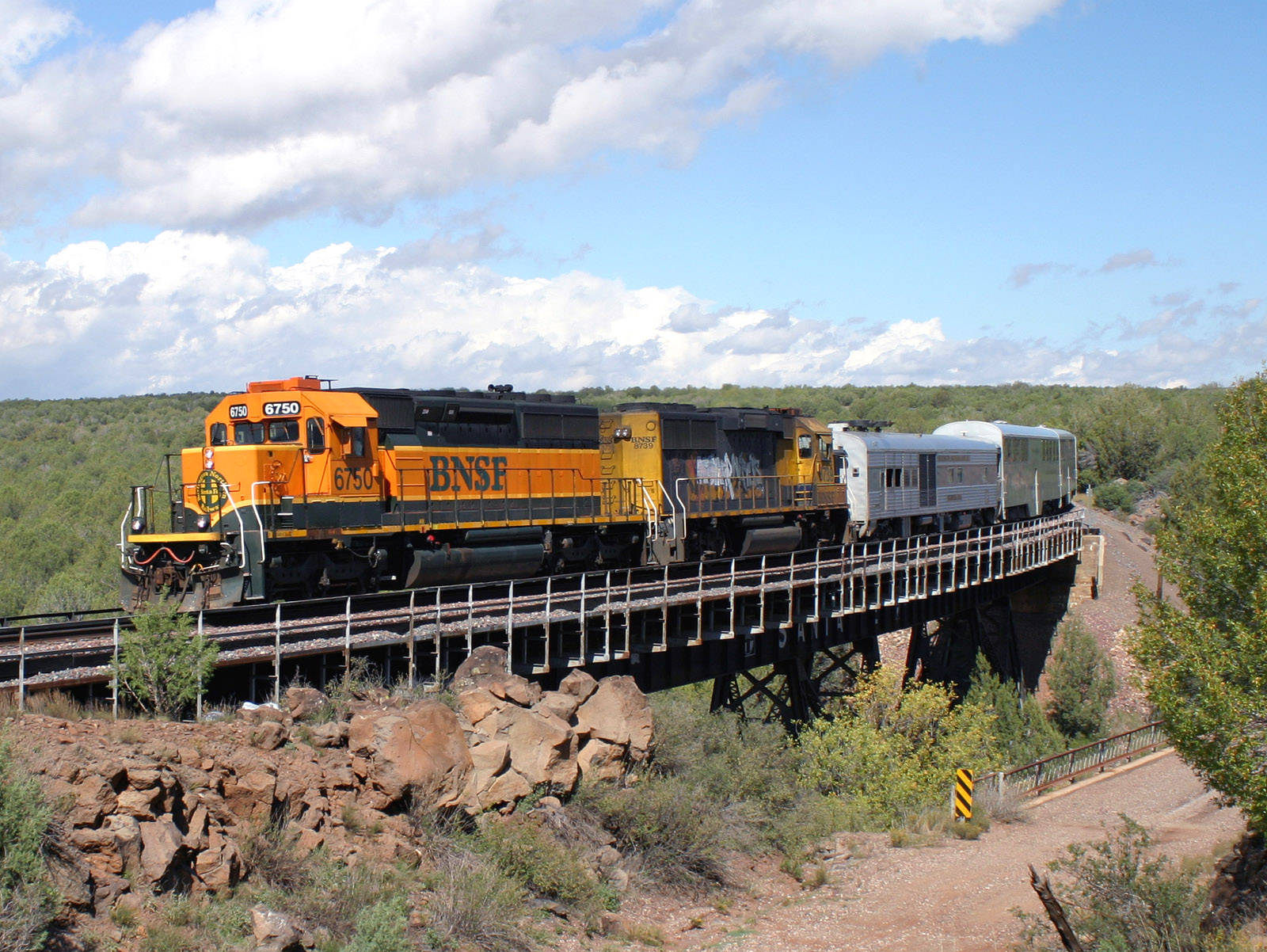
Photo 1 - Finally, a view looking both east AND railroad east. This is MP 378 in downtown Williams at the site of a
former yard. Minimal tracks exist now; GCRR to the left and a storage track to the right. West Williams Jct is just 3 miles further on. The Williams siding (used for meets) is behind me in this view.
Photo 2 - An Eastbound Vehicle train tied down on the siding in the town of Williams. This is between I-40 and downtown Williams.
Photo 3 - This Chris Urban photo shows an eastbound Lite Power move through Williams on August 22nd, 2011.
The town of Williams is chock full of history, and is
possibly best known as the home of the Grand
Canyon Railway.
Williams also has a passing siding; the west switch is located west of where the Peavine crosses under I-40. The east switch is pretty close to downtown.
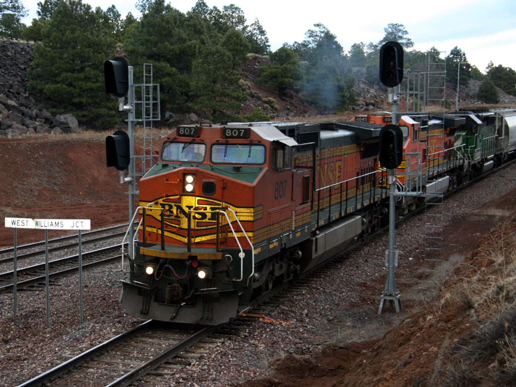
 West Williams Jct-- MP
375.1 [ 0 ]
West Williams Jct-- MP
375.1 [ 0 ]
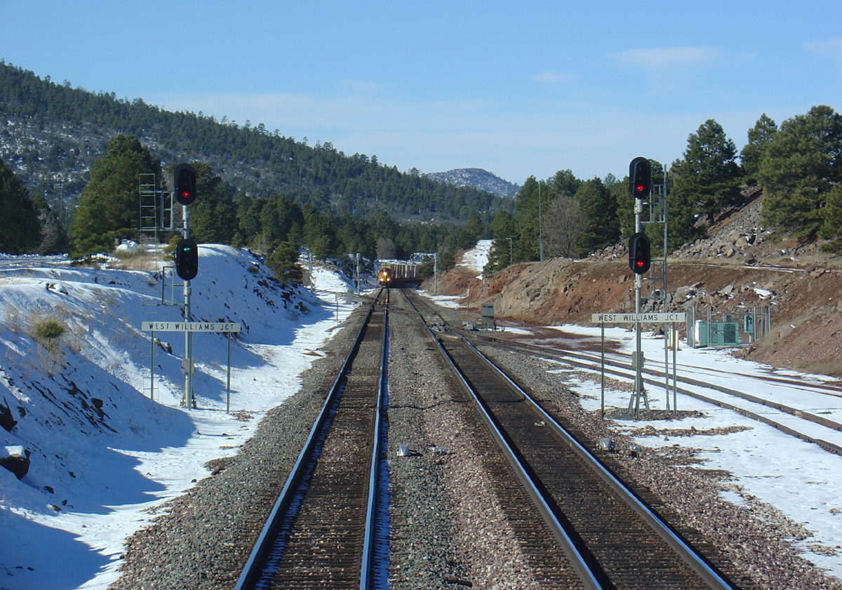
In this view from the cab of a Westbound, we see the diverging clear signal on the left lined for the Peavine while an Eastbound waits to proceed in the distance.
West Williams Jct is where the Peavine links to the BNSF
transcontinental mainline via a turnout on the South Track of the mainline.
People have made photos here but this exact photo spot isn't readily accessible via
public roads. I made the trek into the junction proper in March 2007 and came back with some late
afternoon photos. I caught 2 Phoenix trains: one in each
direction. First, the V-CLOPHX then the Q-PHXCHI a short while later after they made a
quick meet at the Williams siding. I've since made a couple more trips and managed to
catch a few more trains coming off the Peavine.
W/B V-CLOPHX enters the Sub
Mainline Meet
E/B Q-PHXCHI departs the Sub
E/B M-PHXBEL
E/B Q-PHXCHI
E/B B-PHXLAC
Peavine Photo Index
Below is a list of some of the photos associated with the text of these pages. With few
exceptions, they were all taken by me. Photos progress railroad east from
Phoenix toward the BNSF Railway transcontinental mainline. Photos marked with an
asterisk '*' are NOT uploaded to RailPictures.net and are unique to this page.
Most will load up smaller than the actual photo; an icon will eventually appear
in the lower right hand corner to click on and make the image larger.
*Mobest Yard
aerial Aerial view of Mobest taken from an airliner.
*Sidewalk Running View
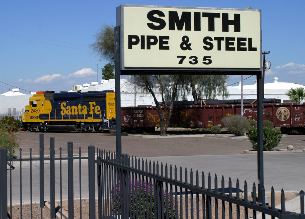
of a GP30 departing Smith Pipe & Steel.
Smith Pipe &
Steel GP30 working Smith Pipe & Steel across from Mobest Yard.
*Glendale Depot
2004 Children's Special arrives at Glendale Depot.
Glendale Station
Sign Westbound passes the Glendale station sign.
*Grand Ave / 59th Ave
construction Nov 2005 view of Grand Ave underpass at 59th Ave.
*Glendale Depot
Oct 2006 view of the north side of Glendale Depot.
Restricted Limits
Westbound about to pass under E/B Grand Ave. Restricted limits is under the
distant bridge.
*2005 Children's Special at Peoria 2005 Children's Special on the Peoria team track.
Peoria Station
Sign Westbound passes the Peoria station sign.
Peoria Curve
Westbound local (A&C Turn) at Peoria Curve.
Peoria Curve
Another Peoria Curve photo.
*Agua Fria River bridge
Aerial view of Agua Fria River bridge / Grand Ave.
El Mirage Curve
Eastbound manifest at MP 175 / El Mirage Curve.
El Mirage autorack
yard Aerial view of the autorack facility.
*Ennis / El Mirage Yard
Westbound passes the west end of 3-track yard used primarily for cuts of
autoracks.
Surprise
Westbound passes the Surprise team track at Dysart Rd.
Lizard Acres
Westbound passes the Lizard Acres station sign.
*Lizard Acres
aerial Aerial view of Lizard Acres / lumber facility looking west.
*Original Beardsley
station sign Eastbound passes Beardsley station sign in mid-2005.
West Beardsley
Westbound enters the main at West Beardsley (MP 170.1.)
East Beardsley
Eastbound on Main 2 passes East Beardsley (MP 168.8.)
Wittman station
sign. Westbound rail train enters the main at Wittmann.
Castle Hot
Springs
Castle Hot Springs
II Rare daylight interchange with Arizona & California.
Bridge MP 147.8
Eastbound led by unique BNSF 7695 crosses bridge in Wickenburg Canyon at MP
147.8.
Hassayampa River
bridge Viewed from US 60, an eastbound crosses the Hassayampa River.
*High water detector
This detector detects water near or on the tracks near milepost 146.6.
*Wickenburg
aerial Aerial view of Wickenburg looking west.
*Wickenburg Depot This
depot stands west of the station sign in downtown Wickenburg. (Photo provided by
a friend)
Wickenburg Rare (at the time)
daylight Arizona & California movement passes the Wickenburg station
sign.
*Aerial view of
Matthie Wye showing an eastbound BNSF pig train holding the mainline.
Matthie Meet
Eastbound empty autoracks clears for a westbound pig train.
*Turning a train at
Matthie Five photos of the 2005 Children's Special being turned at
Matthie.
*Arizona &
California at Matthie Daylight interchange...A&C on home rails departs
Matthie for Parker.
*Congress
aerial Eastbound pigs cross AZ route 71 at Congress.
This aerial photo
shows Date Creek Rd intersection with Route 89.
*Date aerial view looking
northeast shows Cottonwood Creek, Date siding and the dirt Date Creek
Road.
2005
AAPRCO Special Westbound 2005 AAPRCO special has just passed Date siding
near MP 110.
Hillside station
sign Eastbound pigs pass the station sign at Hillside.
*Kirkland View of the
Kirkland station sign looking due east.
*Drake Westbound pigs
passing the Drake station sign, less than a mile from Hell Canyon Bridge.
*Hell Canyon Bridge
General view of Hell Canyon Bridge looking south. No justice is served by this
photo.
*West
Williams Jct #1 South-westerly view of the Peavine track diverging away from
the mainline at West Williams Jct.
*West Williams Jct #2
South-easterly view of West Williams Jct signals and trackage.
Peavine Foreign Power Photo Index
Below are a selection of foreign power and leasing company locomotives I saw on the Peavine
during the mid to late 2000s. It is too bad many of these types are no longer regulars in Phoenix.
Truly "Foreign" Railroads

CN 2404 C40-8M
El Mirage
25 Aug 08

CN 2466 D8-40CW
Restricted Limits
30 May 05
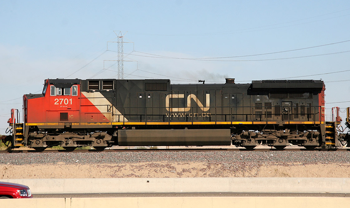
CN/IC 2701 D9-44CW
El Mirage
23 Nov 08
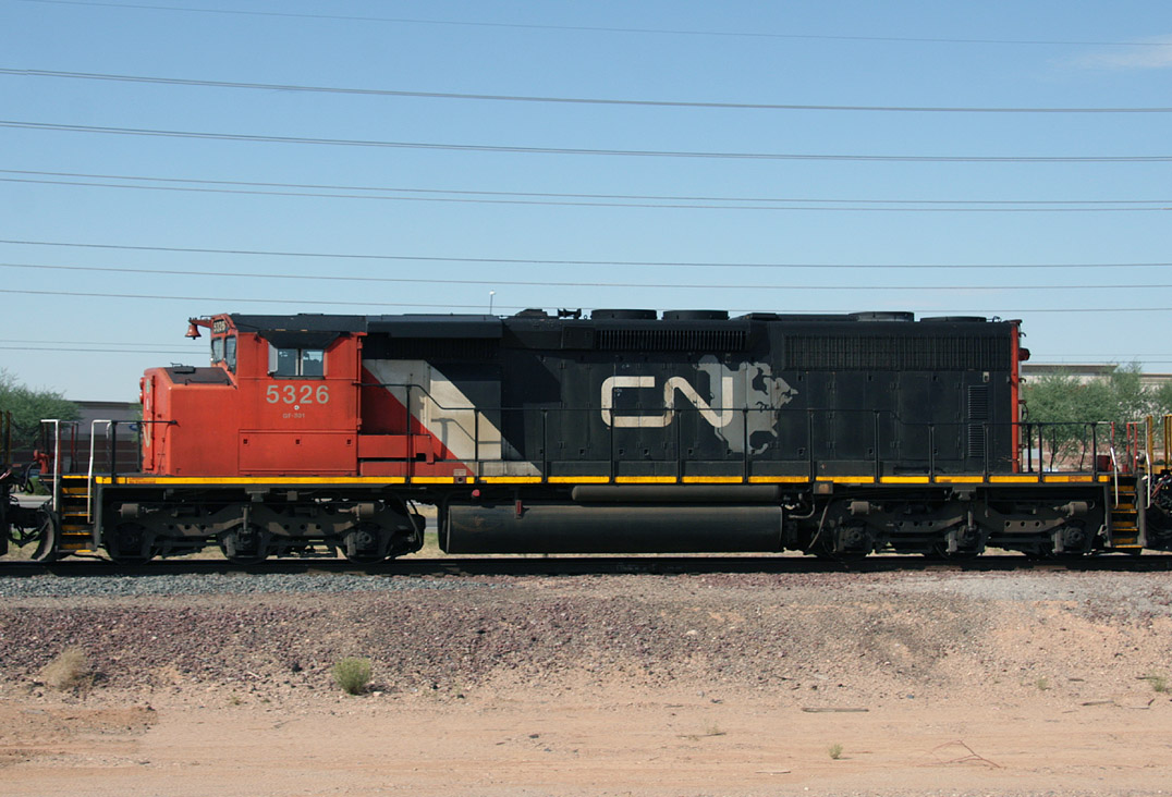
CN 5326 SD40-2
Lizard Acres
24 Aug 08
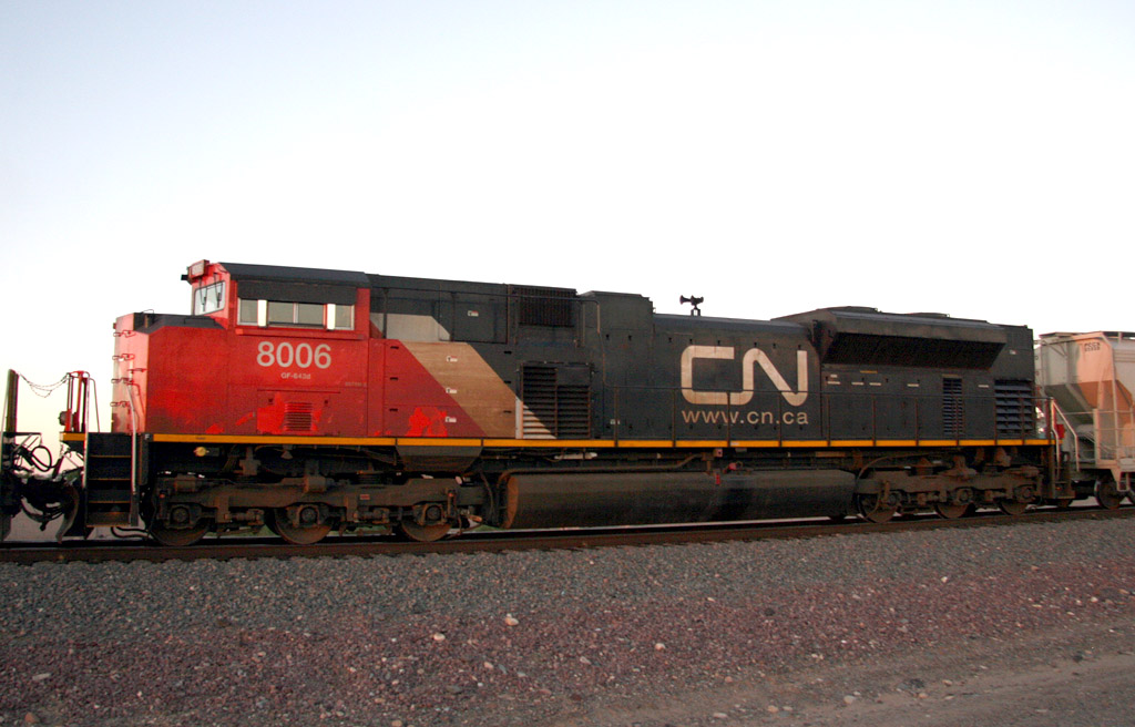
CN 8006 SD70M-2
Peoria
22 Aug 08
CP 5424 SD40-2 (ex-UP 4170)
Beardsley
25 May 05
CP 5948 SD40-2
Beardsley
26 Jun 07
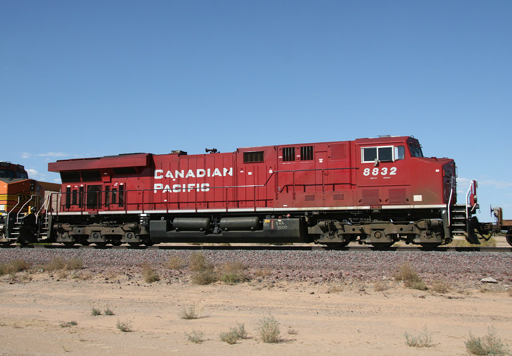
CP 8832 ES44AC
Surprise
27 Aug 09
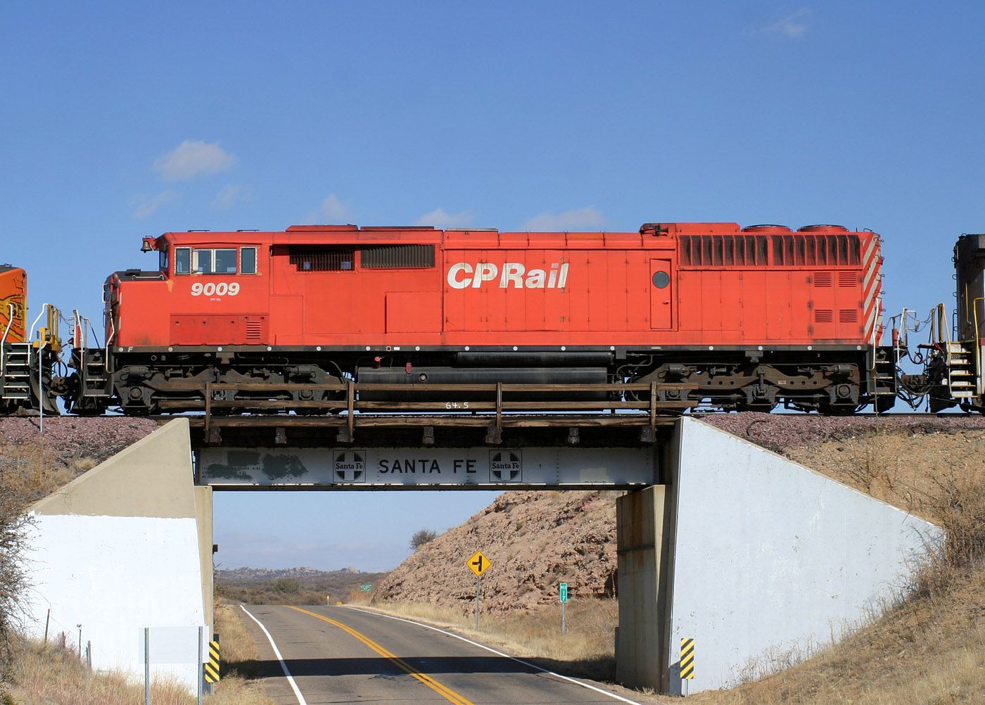
CP 9009 SD40-2F
Skull Valley
27 Jan 06
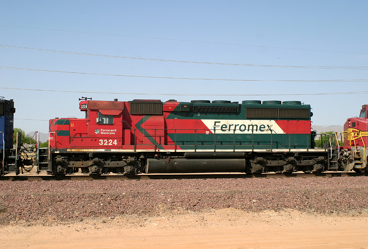
Ferromex 3224 SD40-2
Beardsley
2 Jun 06
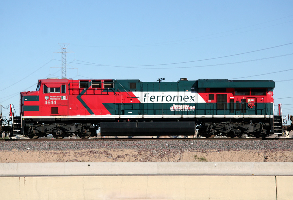
Ferromex 4644 ES44AC
El Mirage
16 Jan 09
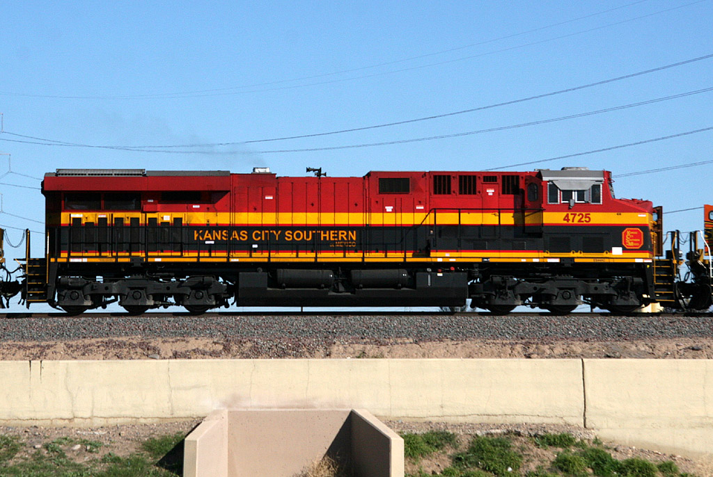
KCSM 4725 ES44AC
El Mirage
20 Jan 08
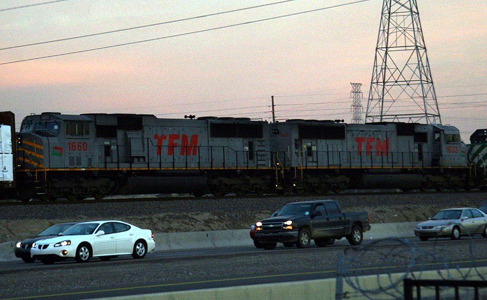
TFM 1660/1633 SD70MACs
El Mirage
20 Dec 07
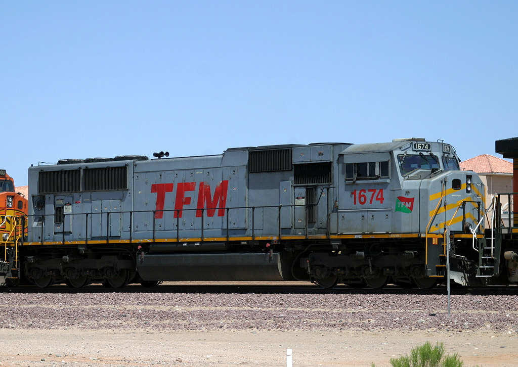
TFM 1674 SD70MAC
Beardsley
16 Apr 06
Class 1 / Regionals
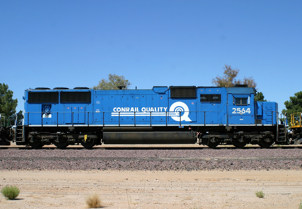
CR/NS 2564 SD70
Beardsley
14 Jun 06
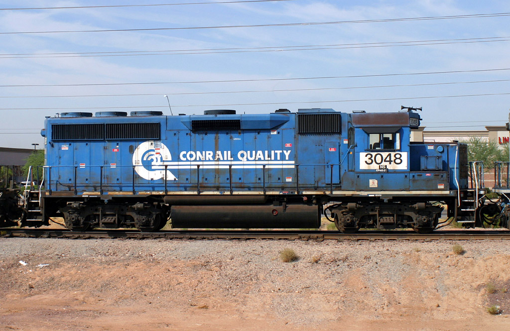
CR/NS 3048 GP38-2
Lizard Acres
28 Jun 06
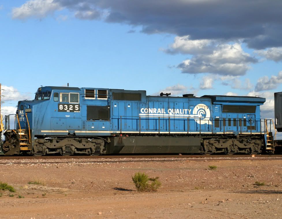
CR/NS 8325 D8-40CW
Castle Hot Springs
10 Dec 06
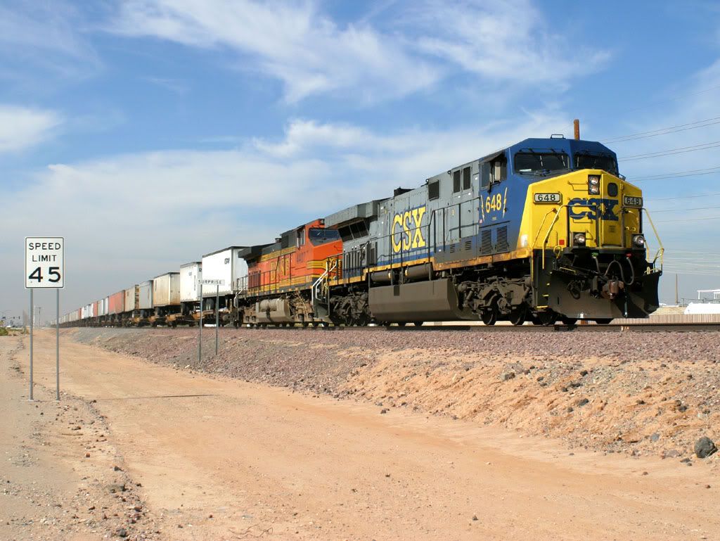
CSX 648 AC6000
Surprise
08 Feb 06
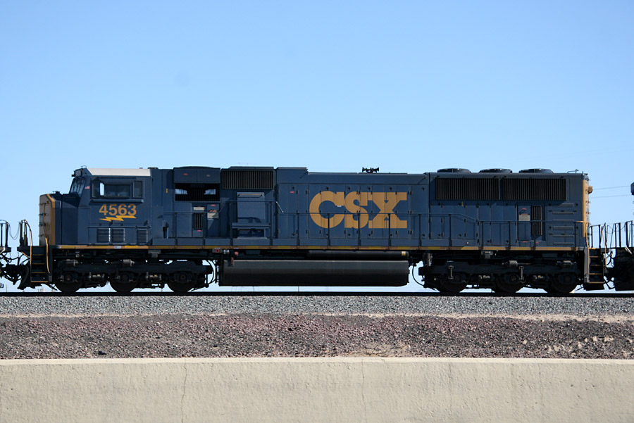
CSX 4563 SD70MAC
El Mirage
26 Sep 07
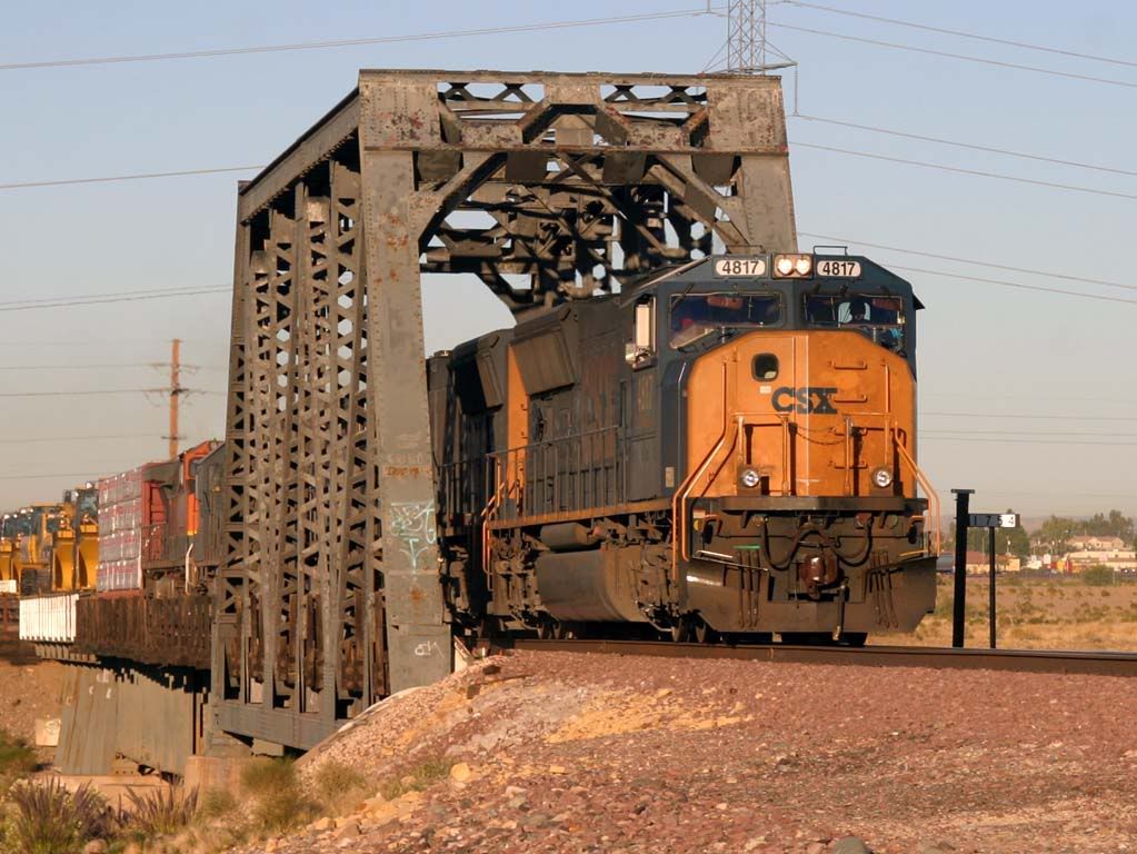
CSX 4817 SD70MAC
Agua Fria River bridge
05 Dec 05
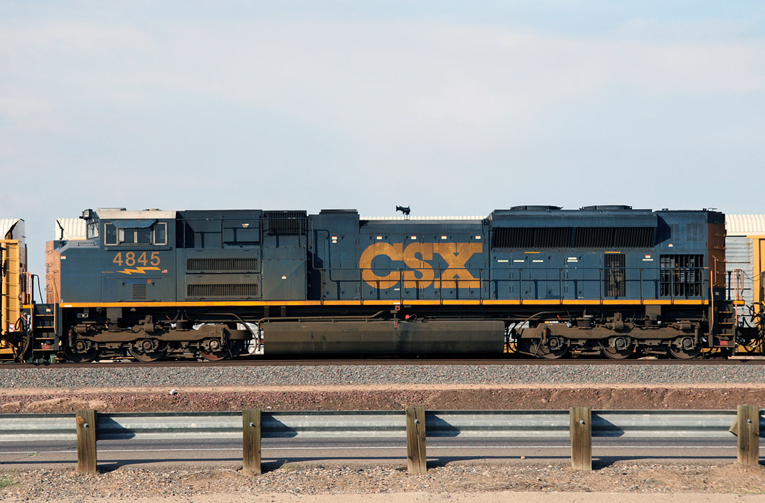
CSX 4845 SD70ACe
El Mirage
27 Aug 08
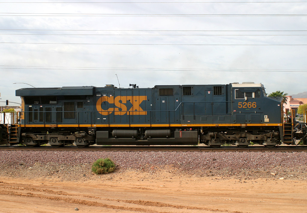
CSX 5266 ES44DC
Beardsley
14 Apr 06
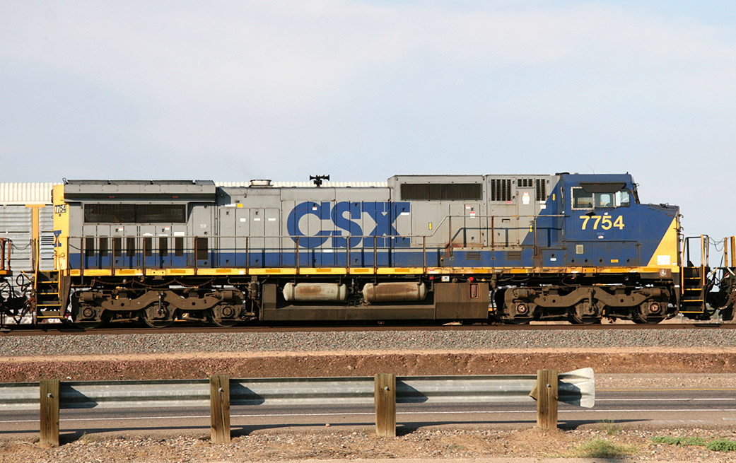
CSX 7754 D8-40CW
El Mirage
27 Aug 08
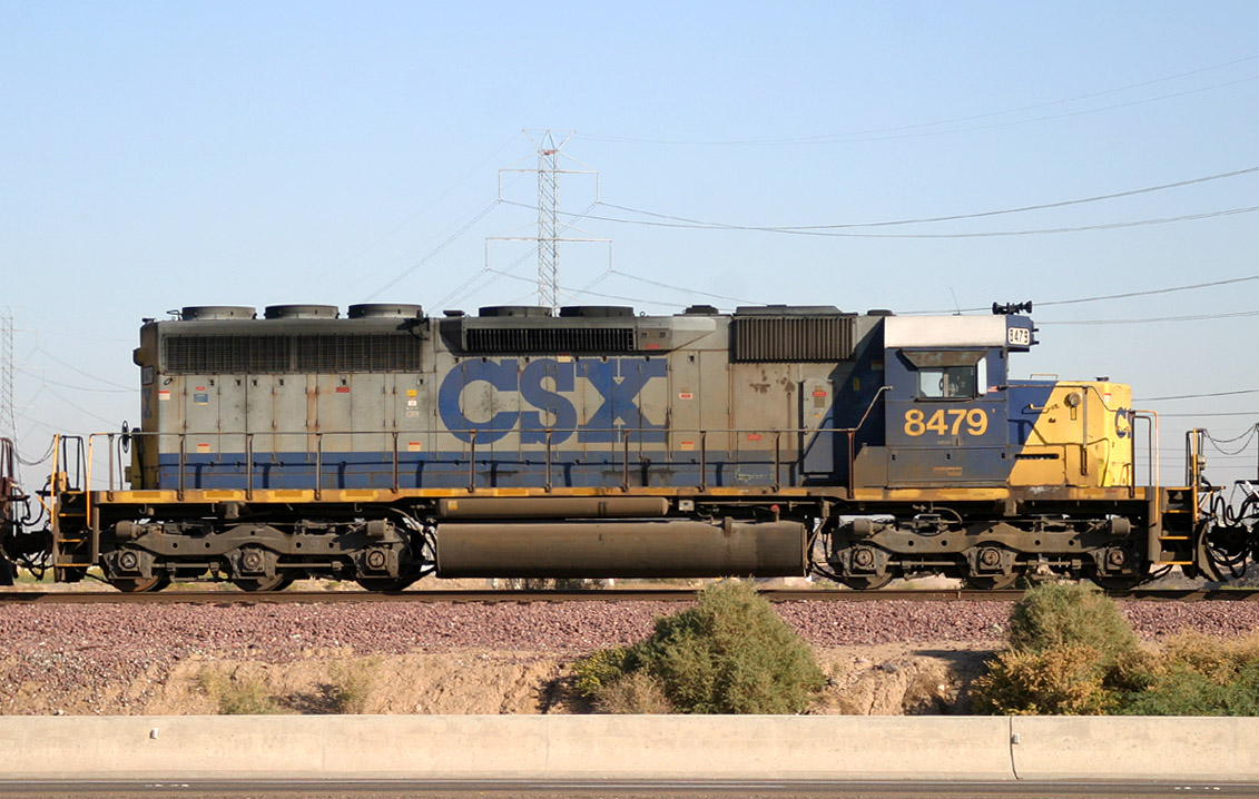
CSX 8479 SD40-2
El Mirage
03 Dec 05
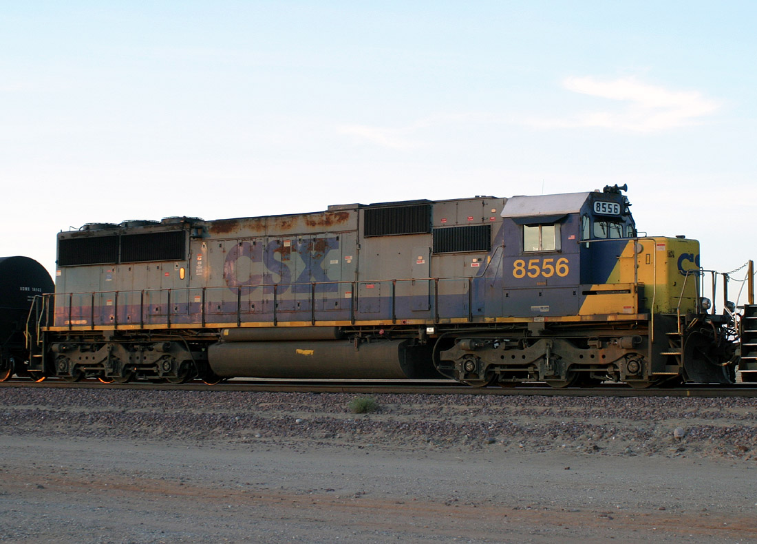
CSX 8556 SD50
Beardsley
23 Mar 06
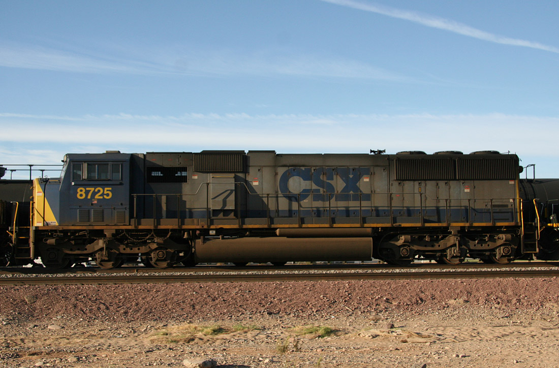
CSX 8725 SD60I
El Mirage
29 Oct 07
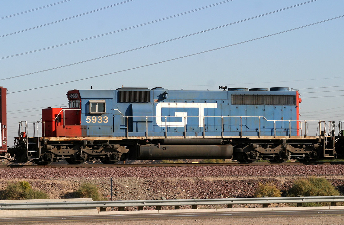
GTW 5933 SD40-2
El Mirage
03 Dec 05
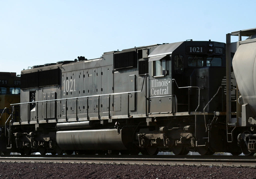
IC 1021 SD70
Surprise
18 Oct 06
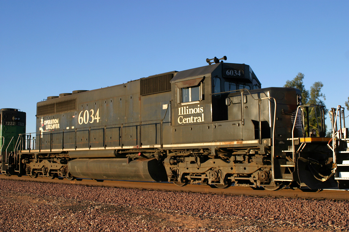
IC 6034 SD40-2
Surprise
15 Nov 06
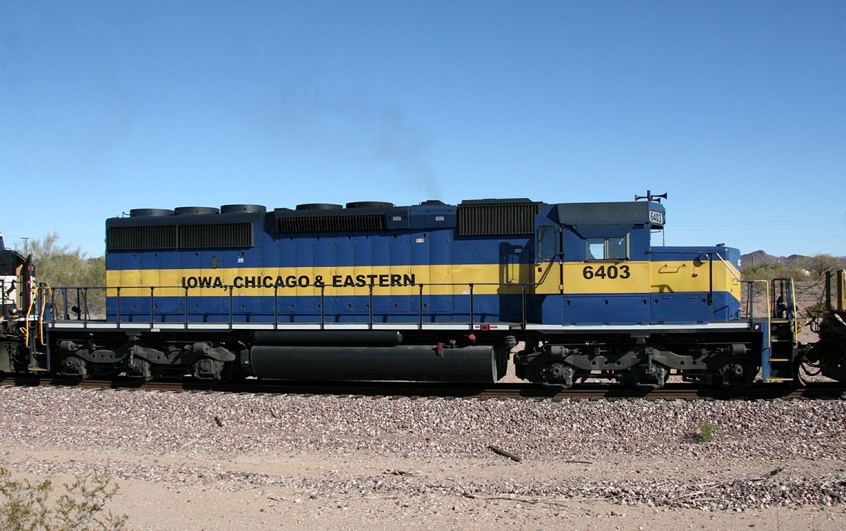
ICE 6403 SD40-2
Castle Hot Springs
22 Dec 07
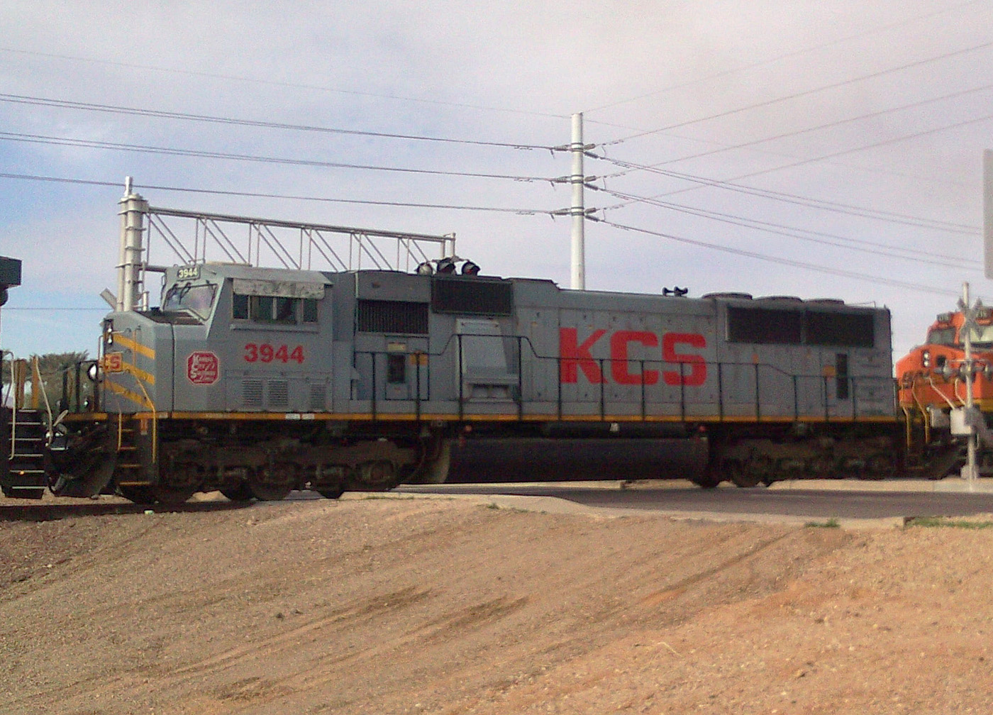
KCS 3944 SD70MAC
E. Beardsley
16 Feb 11
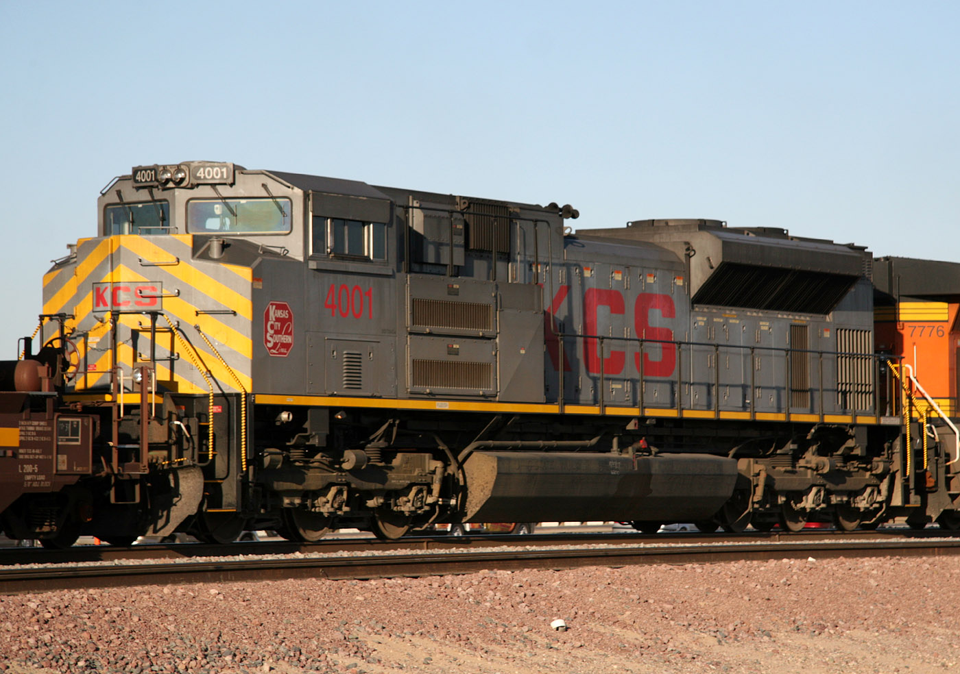
KCS 4001 SD70ACe
El Mirage
1 Nov 07
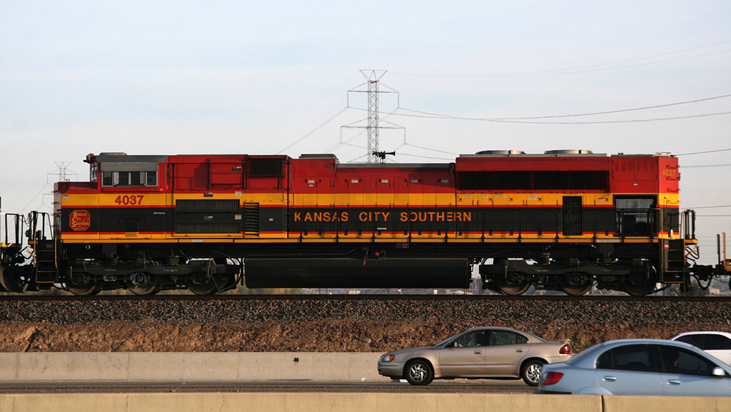
KCS 4037 SD70ACe
El Mirage
10 Jan 08
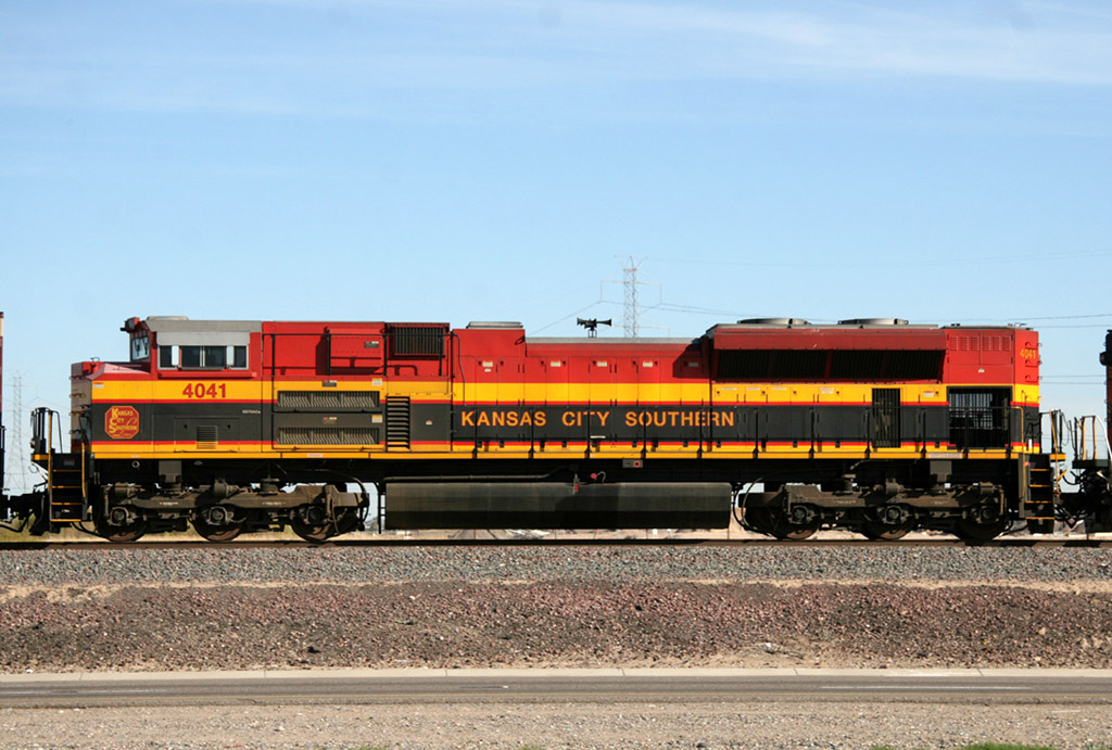
KCS 4041 SD70ACe
El Mirage
04 Feb 09
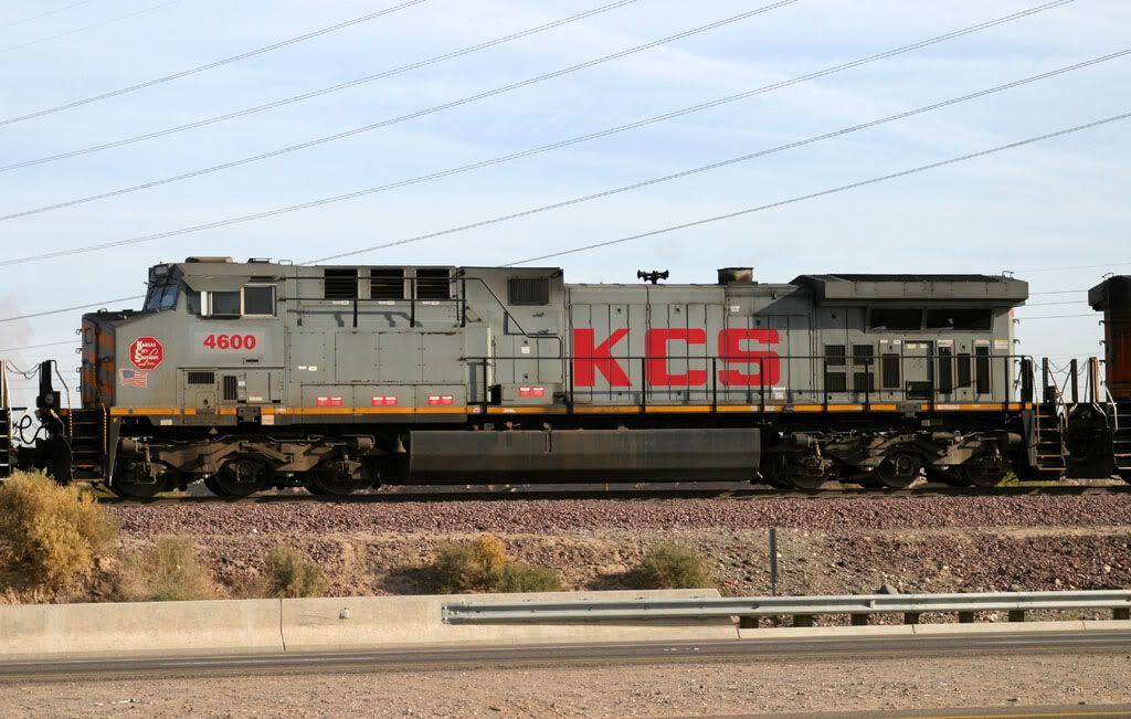
KCS 4600 re# AC4400
El Mirage
03 Feb 06
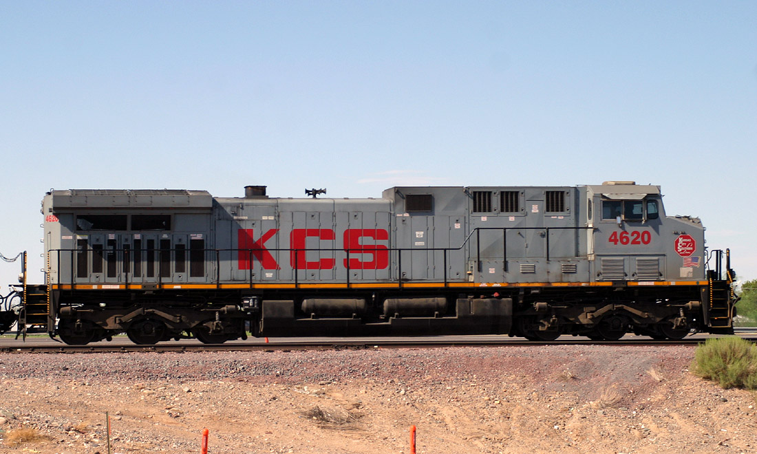
KCS 4620 AC4400
El Mirage
02 Sep 06
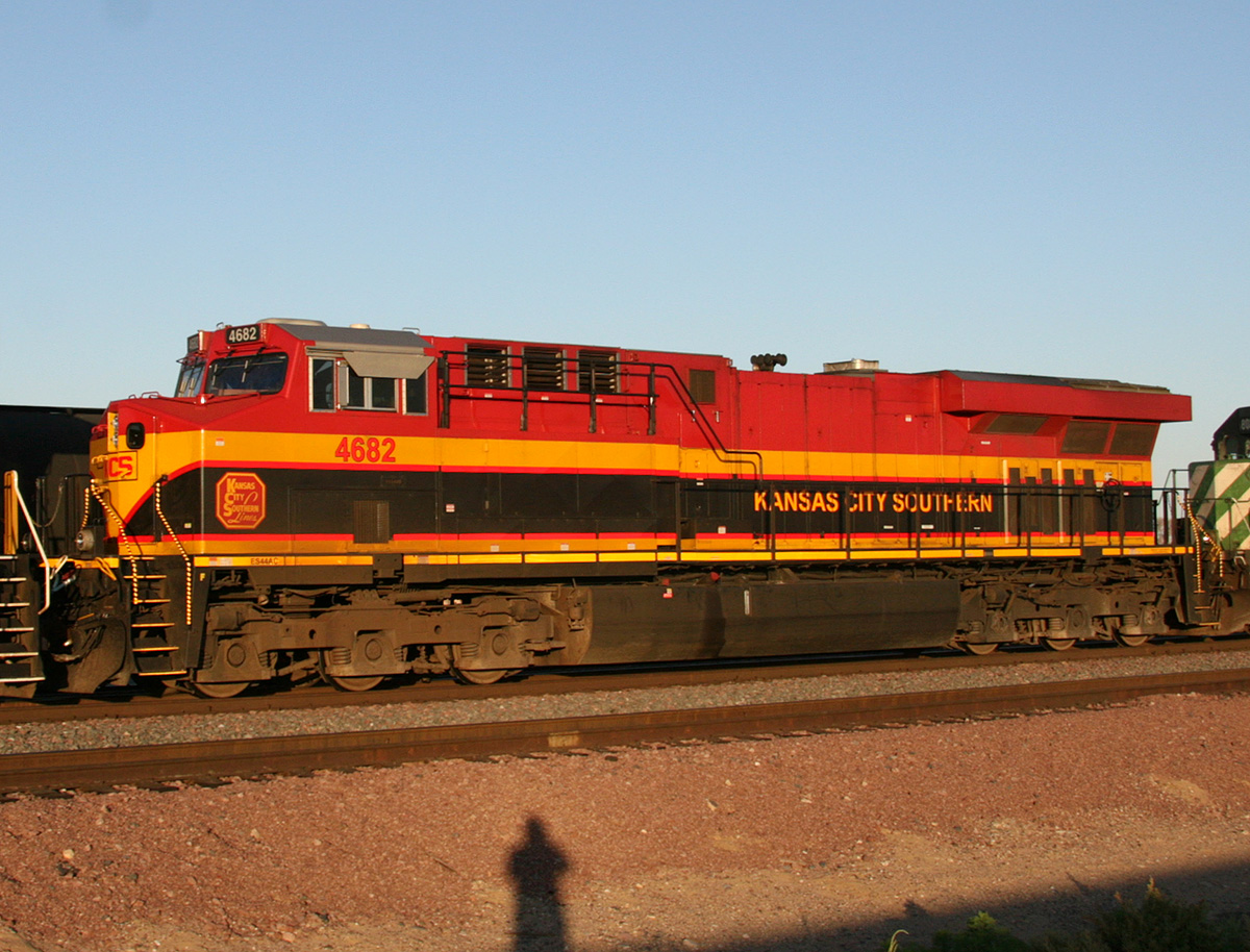
KCS 4682 ES44AC
El Mirage
23 Aug 08
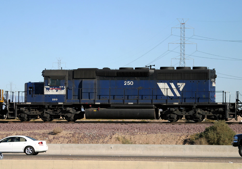
MRL 250 SD40-2
El Mirage
20 Jan 06
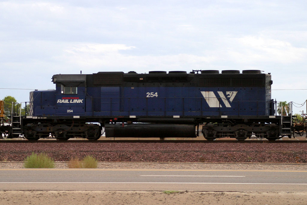
MRL 254 SD40-2
Surprise
31 Jul 05
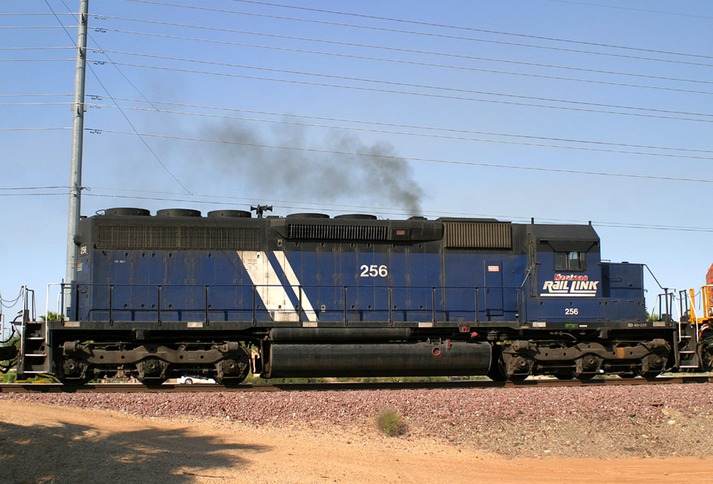
MRL 256 SD40-2XR
Beardlsey
01 Jul 05
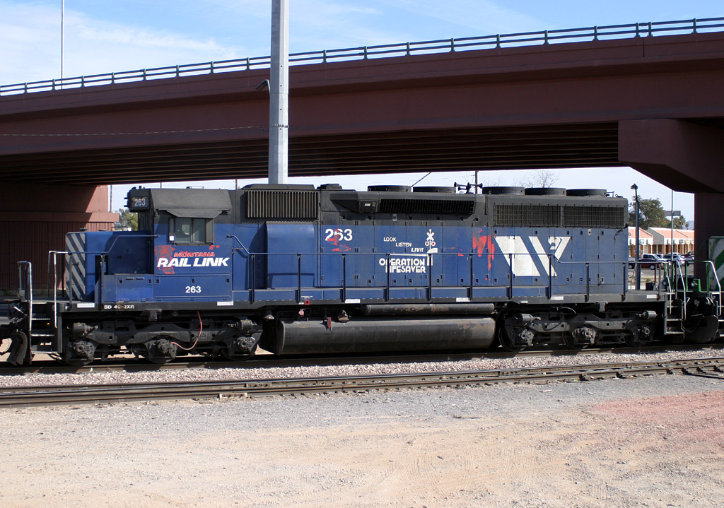
MRL 263 SD40-2XR
Glendale
24 Jan 06
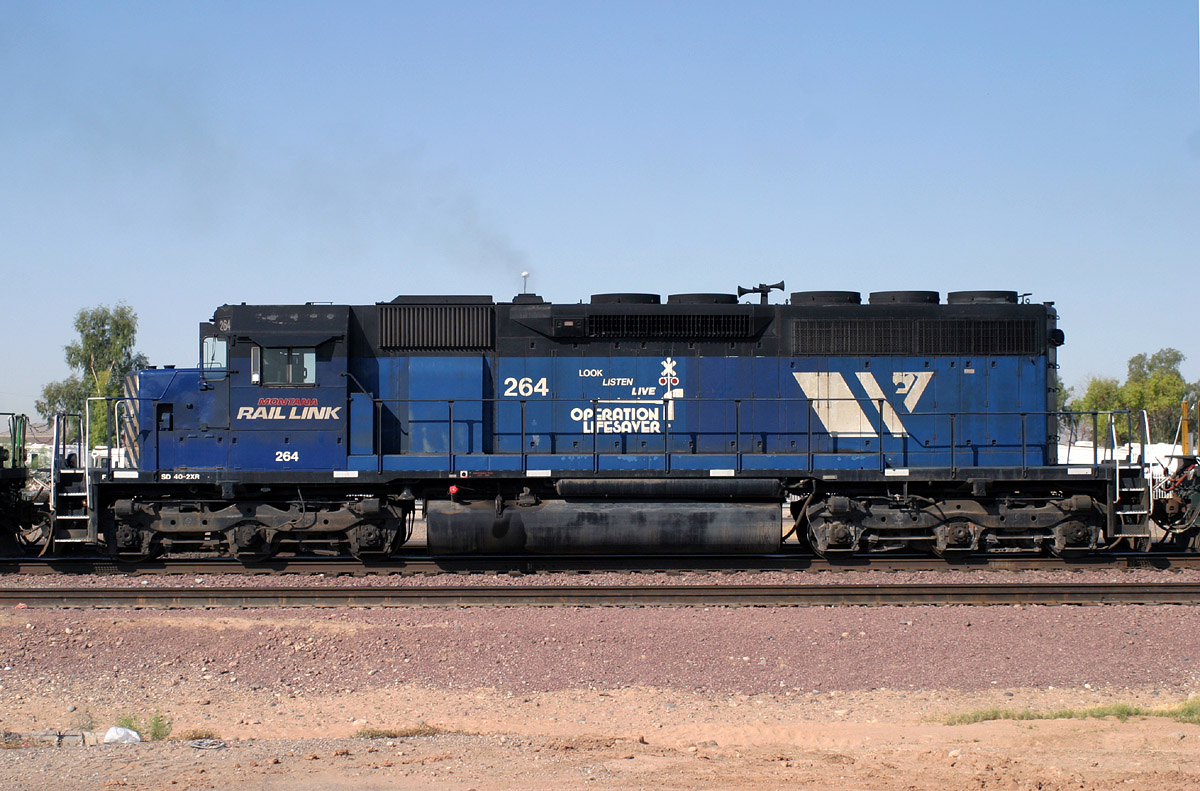
MRL 264 SD40-2XR
El Mirage
13 Jun 06
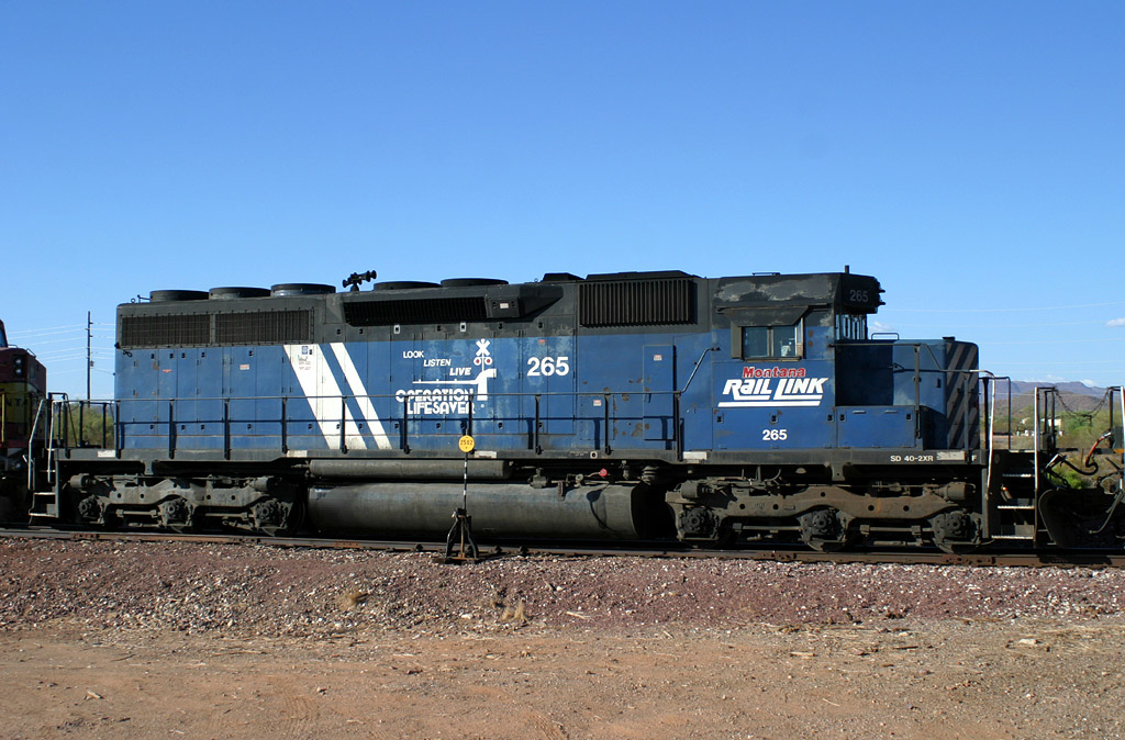
MRL 265 SD40-2XR
Castle Hot Springs
05 Aug 06
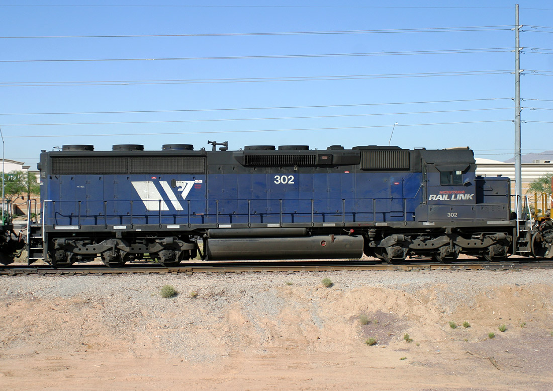
MRL 302 SD45-2
Lizard Acres
31 May 06
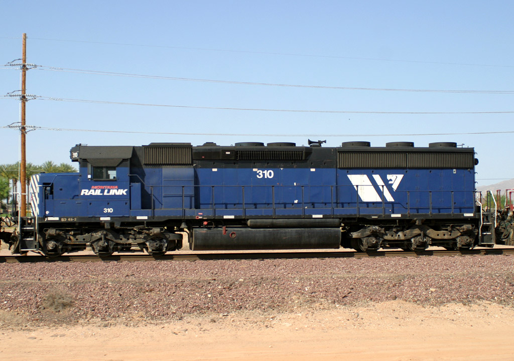
MRL 310 SD45-2
Beardsley
02 Jun 06
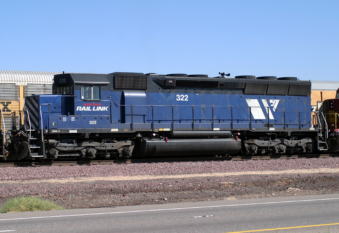
MRL 322 SD45-2 (Rebuilt)
El Mirage
26 Oct 05
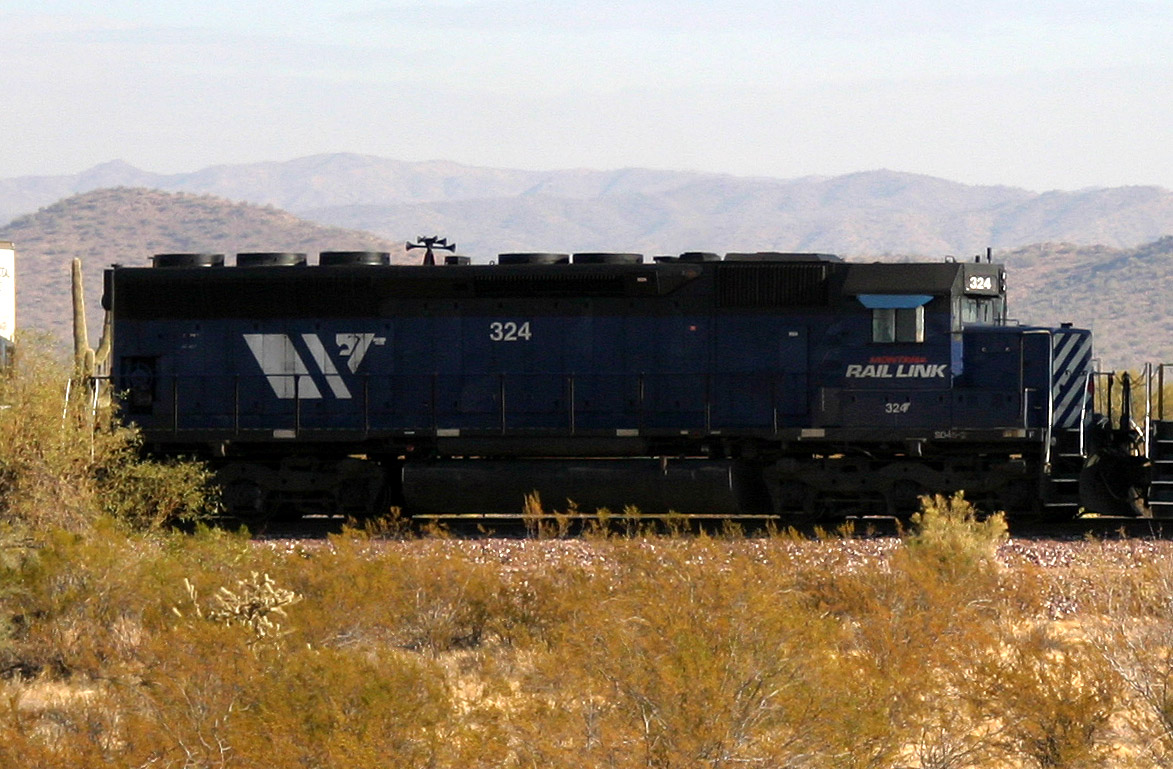
MRL 324 SD45-2
Castle Hot Springs
27 Jan 06
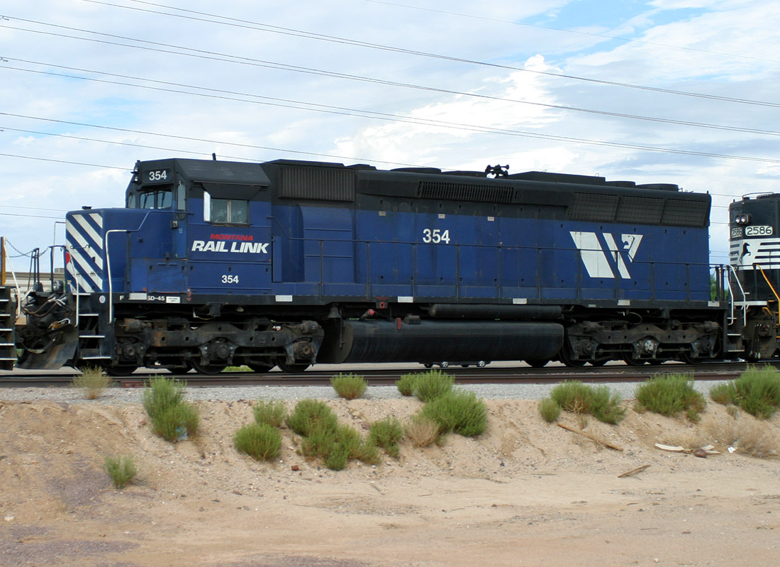
MRL 354 SD45
Lizard Acres
11 Aug 06
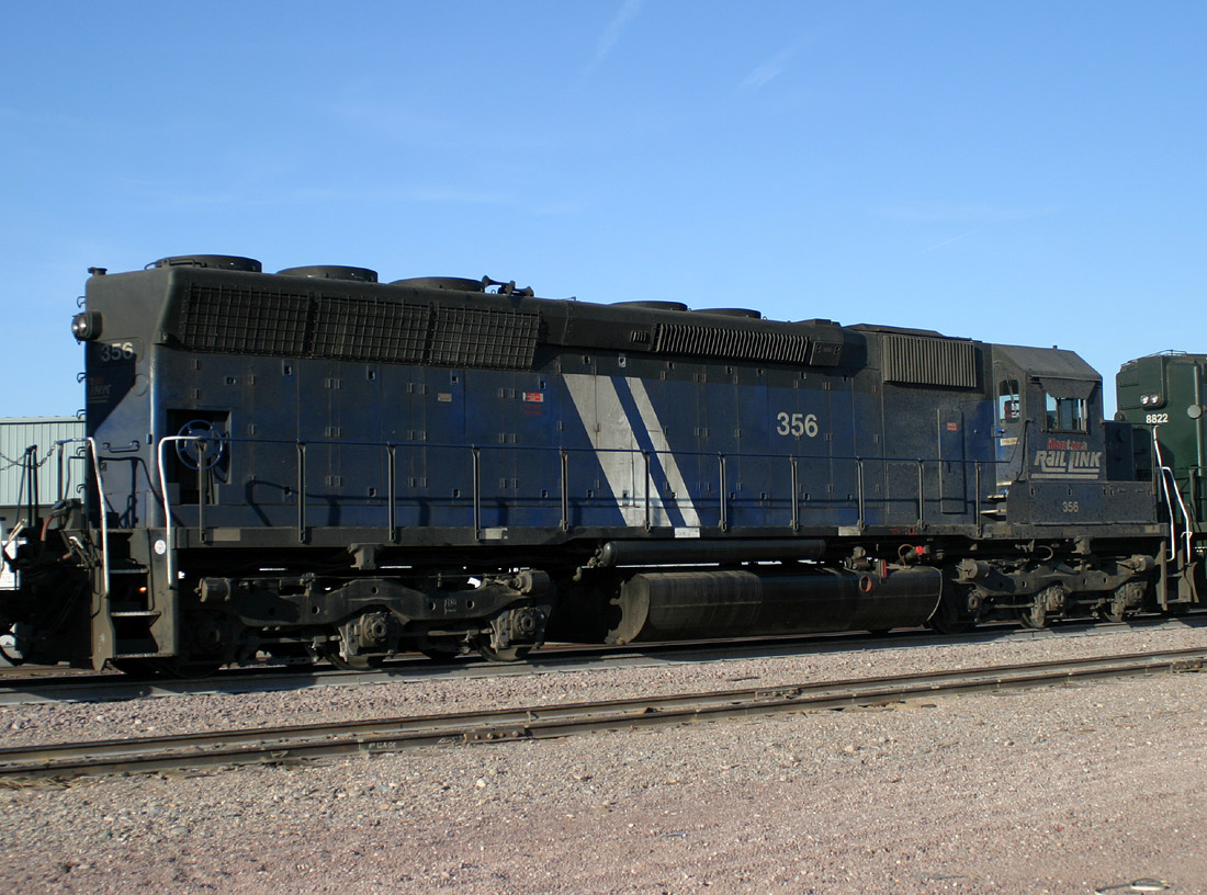
MRL 356 SD45
Alhambra
30 Jan 06
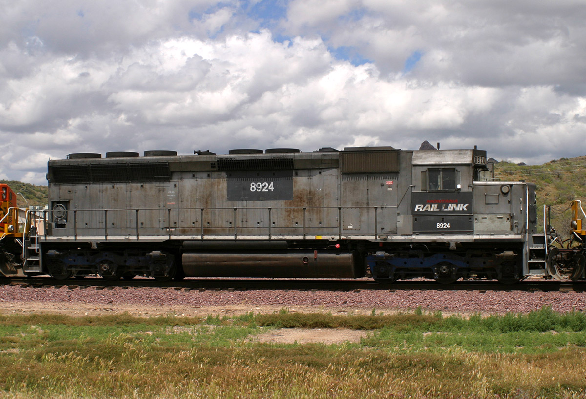
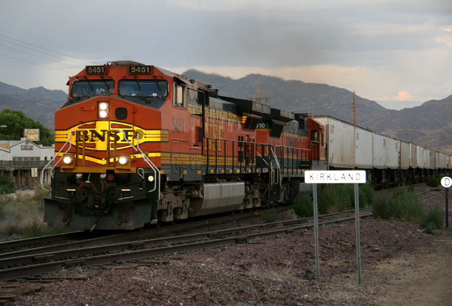
MRL 8924 SD45
Kirkland
06 May 05
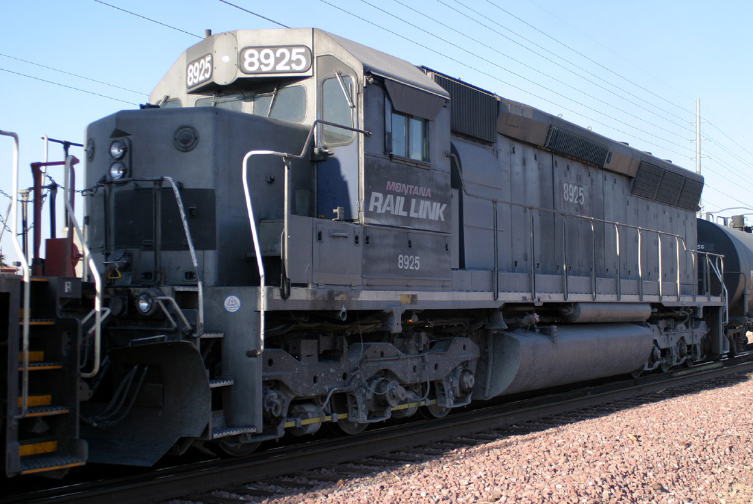
MRL 8925 SD45
Beardsley
13 Dec 05
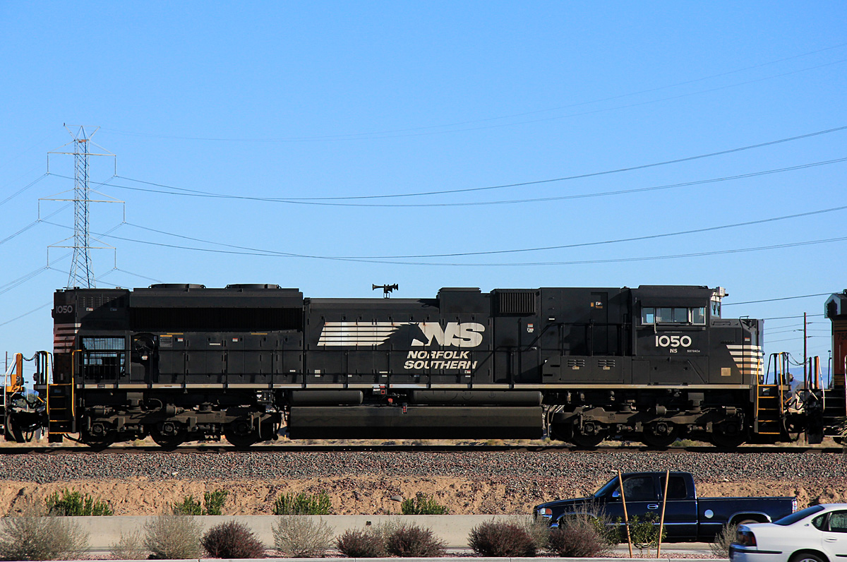
NS 1050 SD70ACe
El Mirage
04 Feb 13
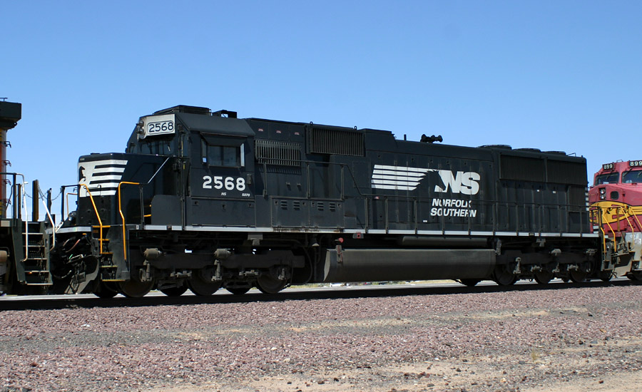
NS 2568 SD70
Beardsley
07 Jun 06
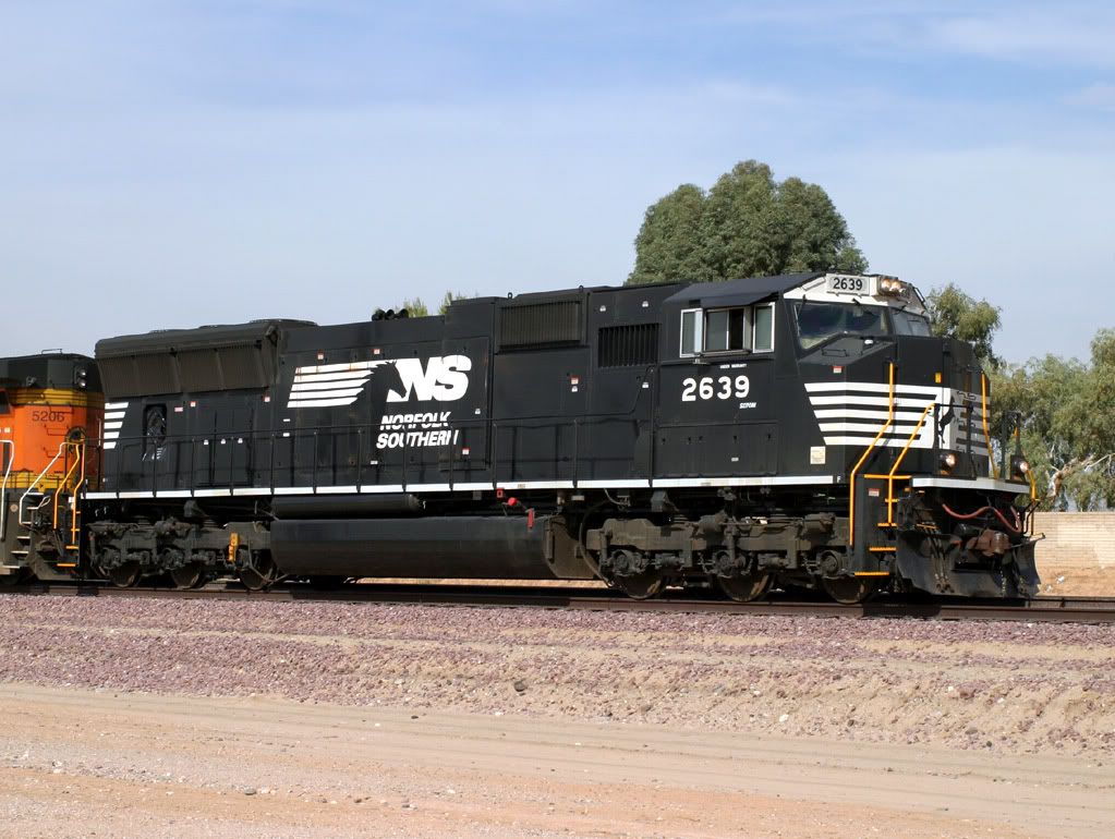
NS 2639 SD70M
West Beardsley
14 Feb 06
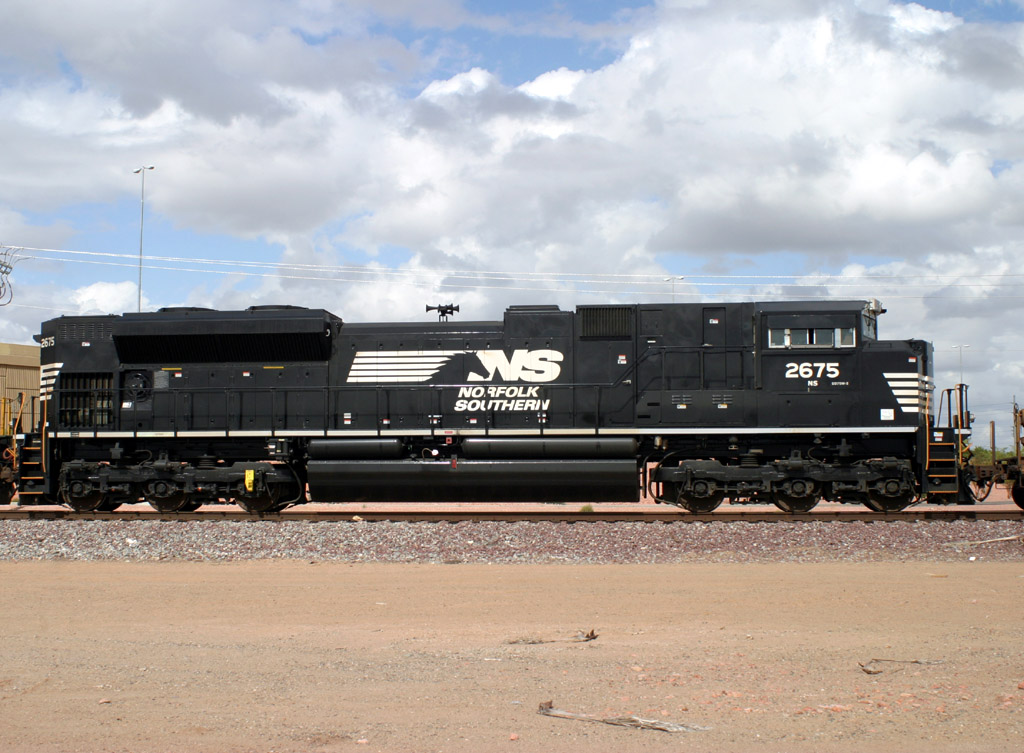
NS 2675 SD70M-2
R/L Glendale
29 Mar 06
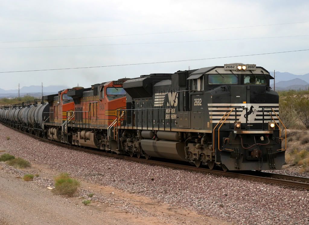
NS 2682 SD70M-2
Castle Hot Springs
11 Nov 06
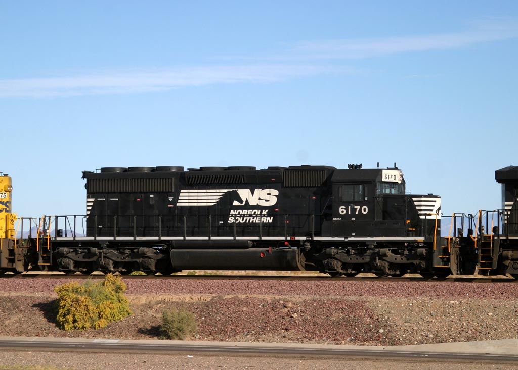
NS 6170 SD40-2
El Mirage
27 Nov 05
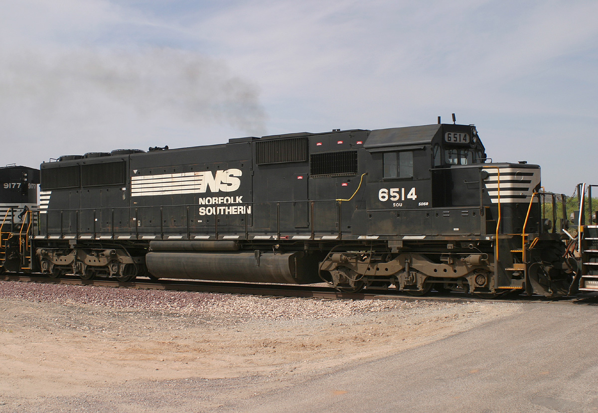
NS 6514 SD50
Matthie Ranch
28 May 05
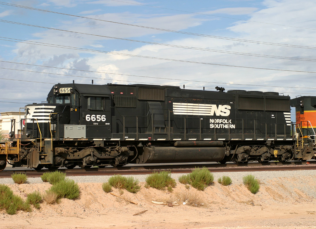
NS 6656 SD60
Lizard Acres
11 Aug 06
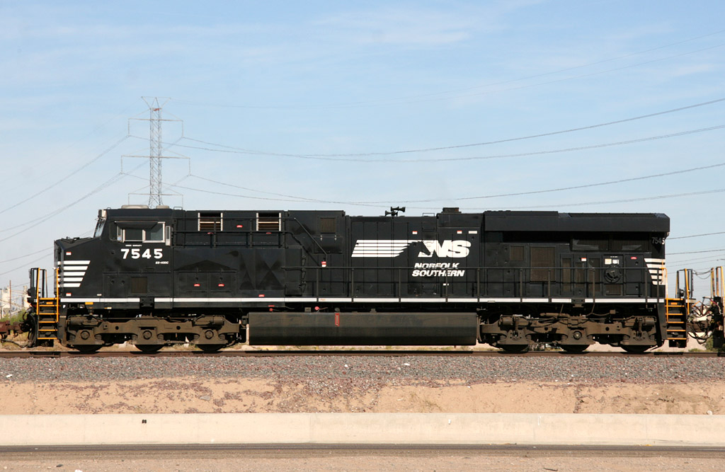
NS 7545 ES40DC
El Mirage
20 Nov 08
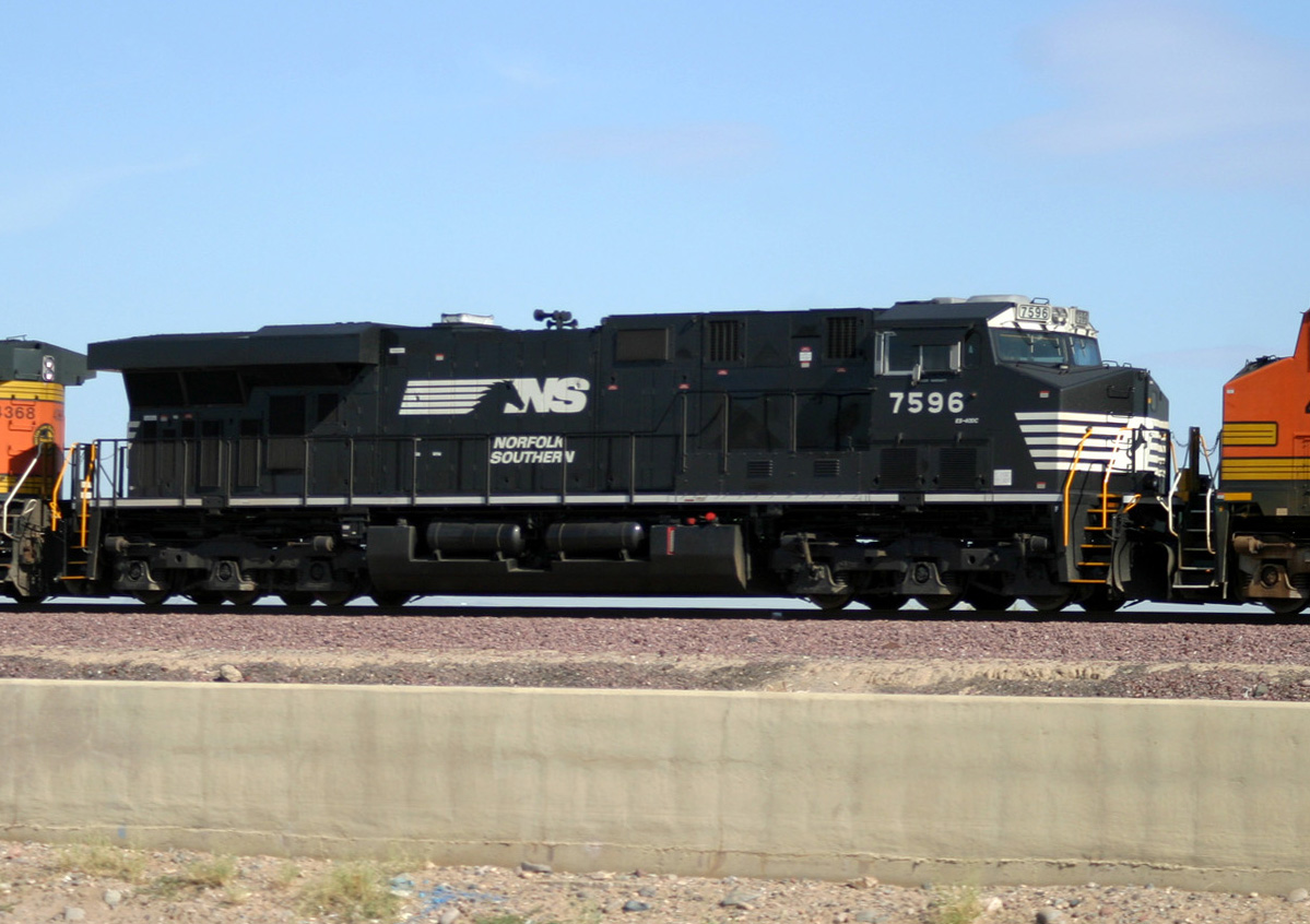
NS 7596 ES40DC
El Mirage
02 Oct 06
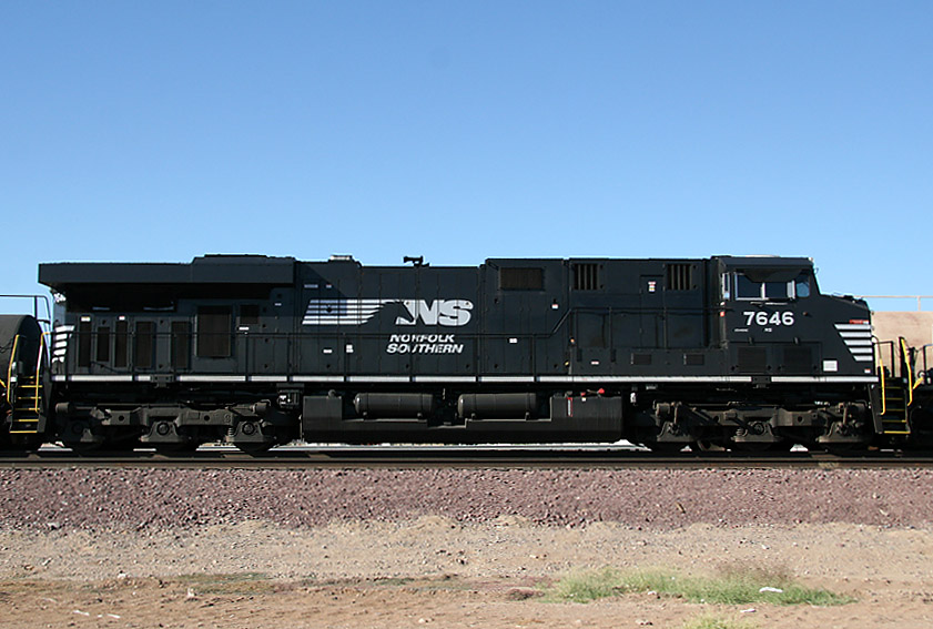
NS 7646 ES40DC
El Mirage
24 Sep 07
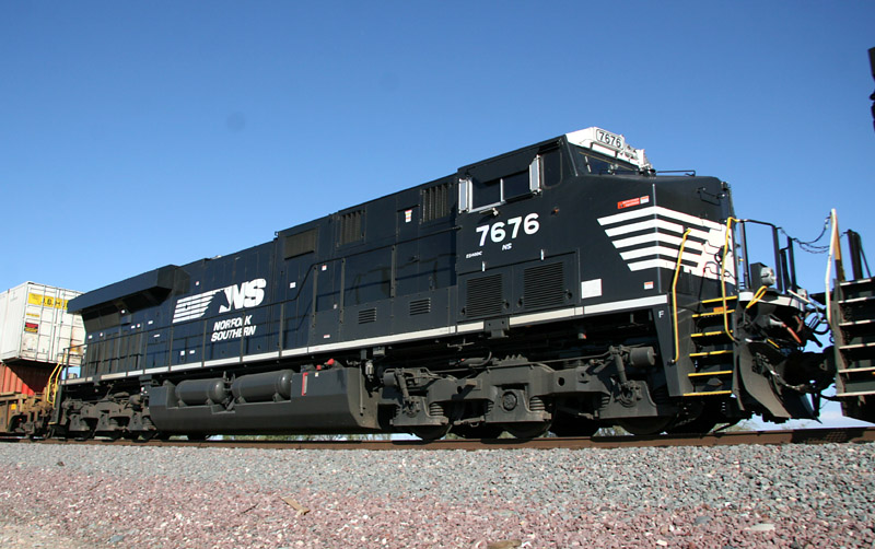
NS 7676 ES40DC
Peoria
21 Dec 07
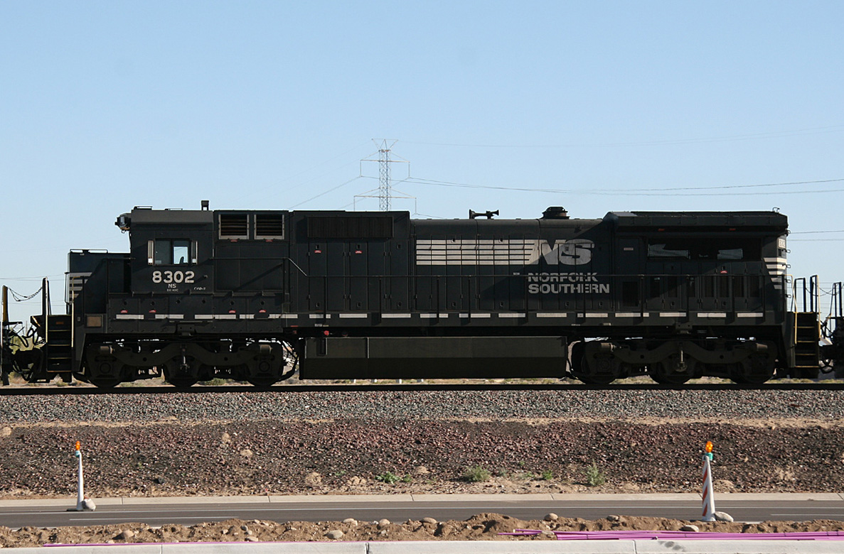
NS 8302 D8-40C
El Mirage
09 Mar 11
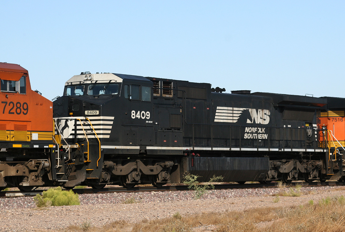
NS 8409 D8-40CW
Castle Hot Springs
14 Jul 10
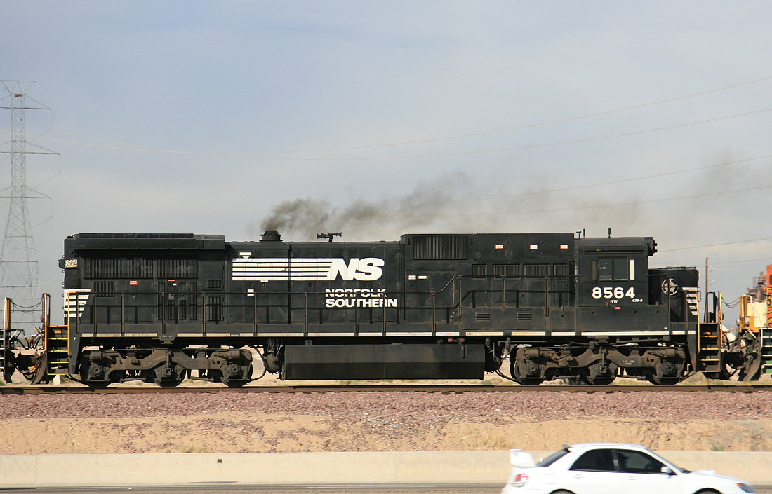
NS 8564 D8-39C
El Mirage
07 Mar 07
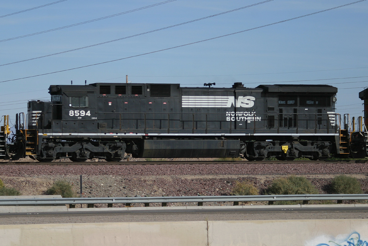
NS 8594 D8-39C
El Mirage
08 Dec 05
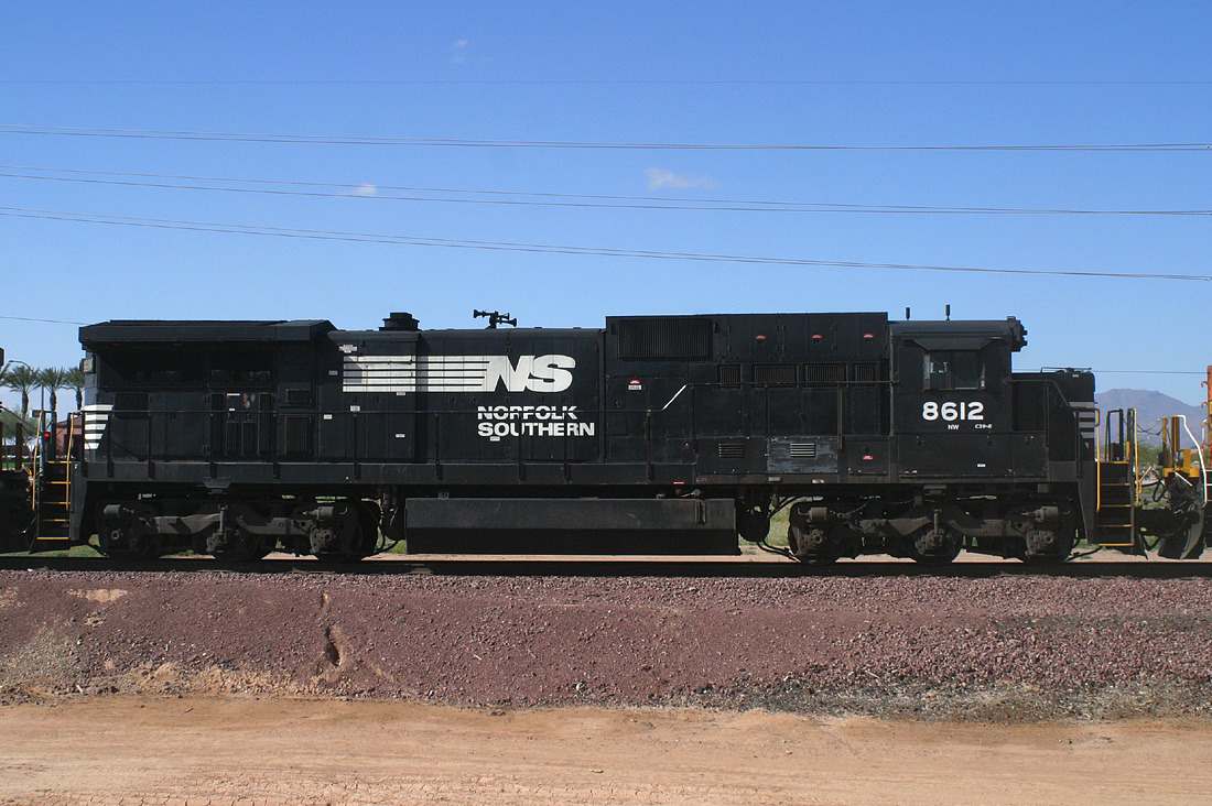
NS 8612 D8-39C
Beardsley
09 Apr 05
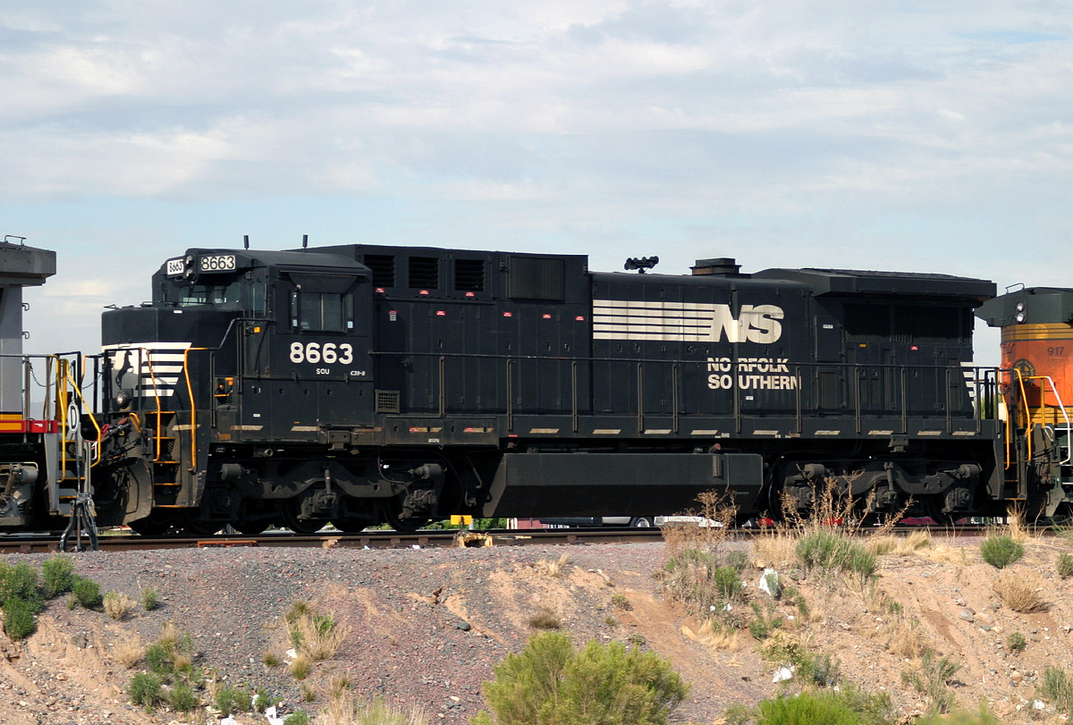
NS 8663 D8-39C
El Mirage
31 Mar 06
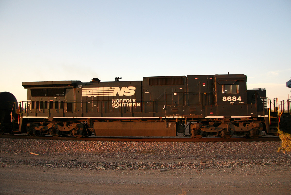
NS 8684 D8-39C
Castle Hot Springs
04 Jul 07
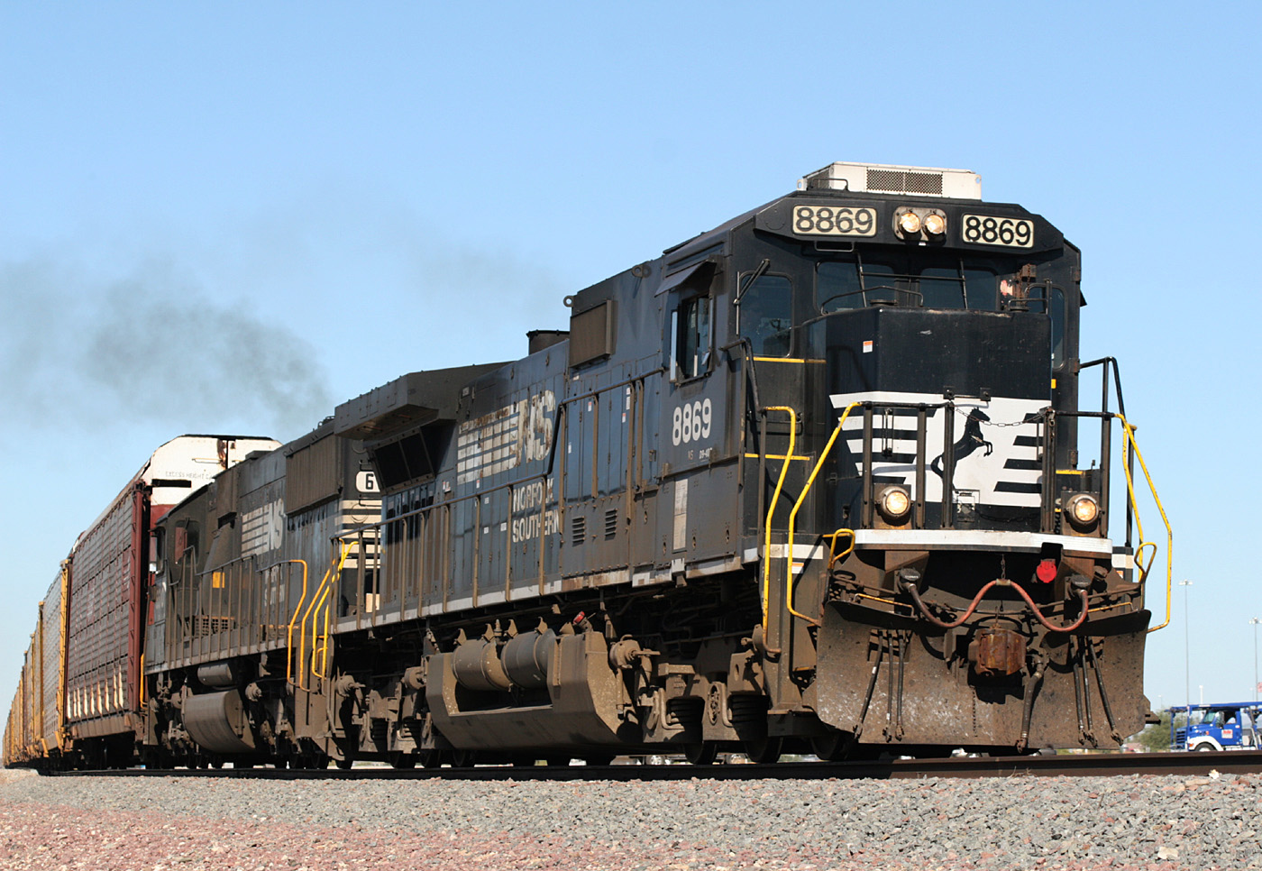
NS 8869 D9-40C
El Mirage
24 Oct 07
NS 8872 D9-40C
El Mirage
23 Mar 06
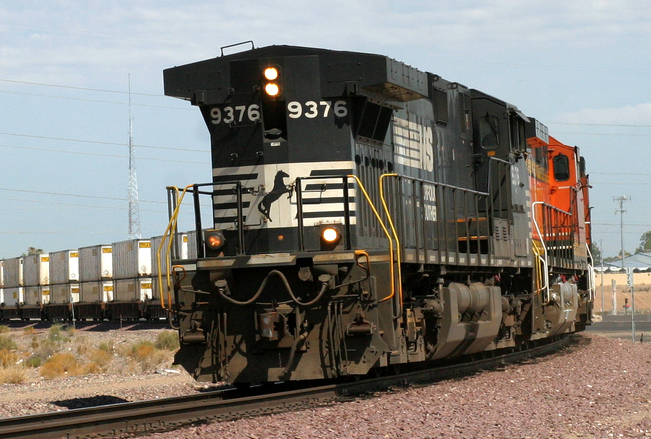
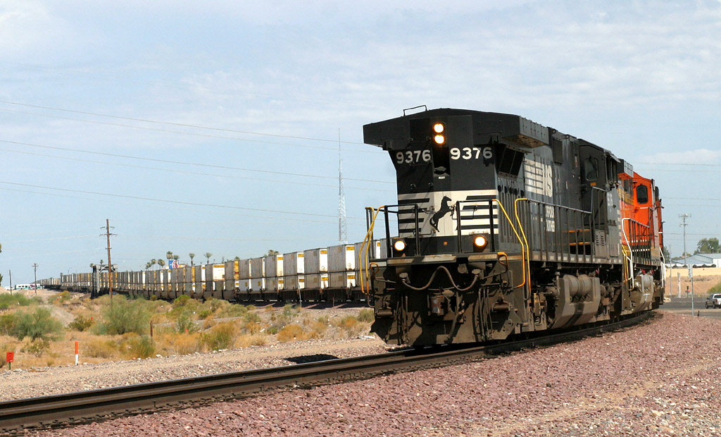
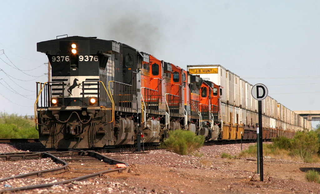
NS 9376 D9-40CW
El Mirage
05 Jul 06
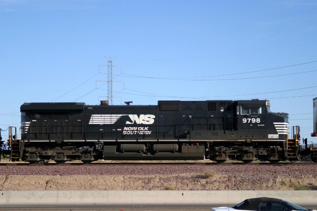
NS 9798 D9-40CW
El Mirage
27 Nov 05
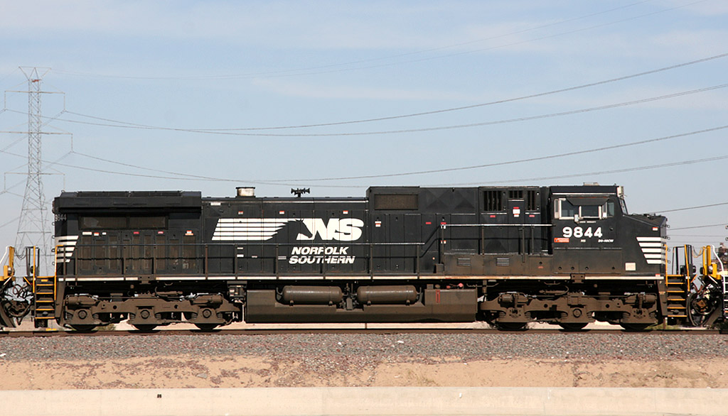
NS 9844 D9-40CW
El Mirage
22 Nov 08
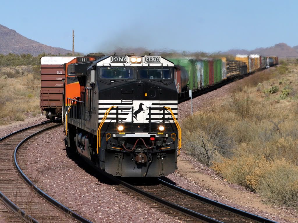
NS 9876 D9-40CW
Date - MP 110
21 Jan 06
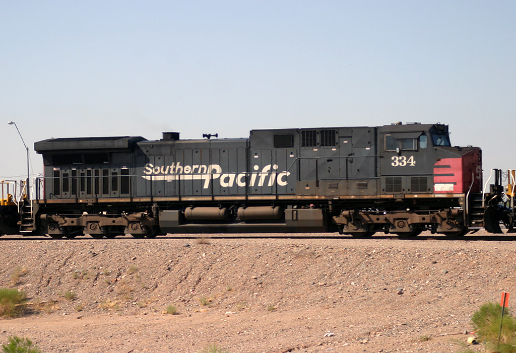
SP 334 AC4400
El Mirage
12 Aug 05
SP/UP 6204 AC4400
Beardsley
16 Apr 06
UP 3308 SD40-2
Peoria
08 Jun 06
UP 8225 SD9043AC
Beardsley
16 Apr 06
WC 6001 SD40
E. Beardsley
18 Mar 06
Leasing Companies
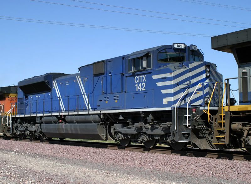
CITX 142 SD70M-2
Youngtown
08 Oct 06
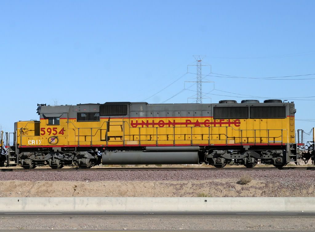
CRIX 5954
El Mirage
16 Jan 06
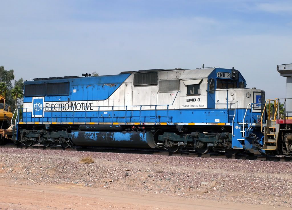
EMD 3 SD60
West Beardsley
14 Feb 06
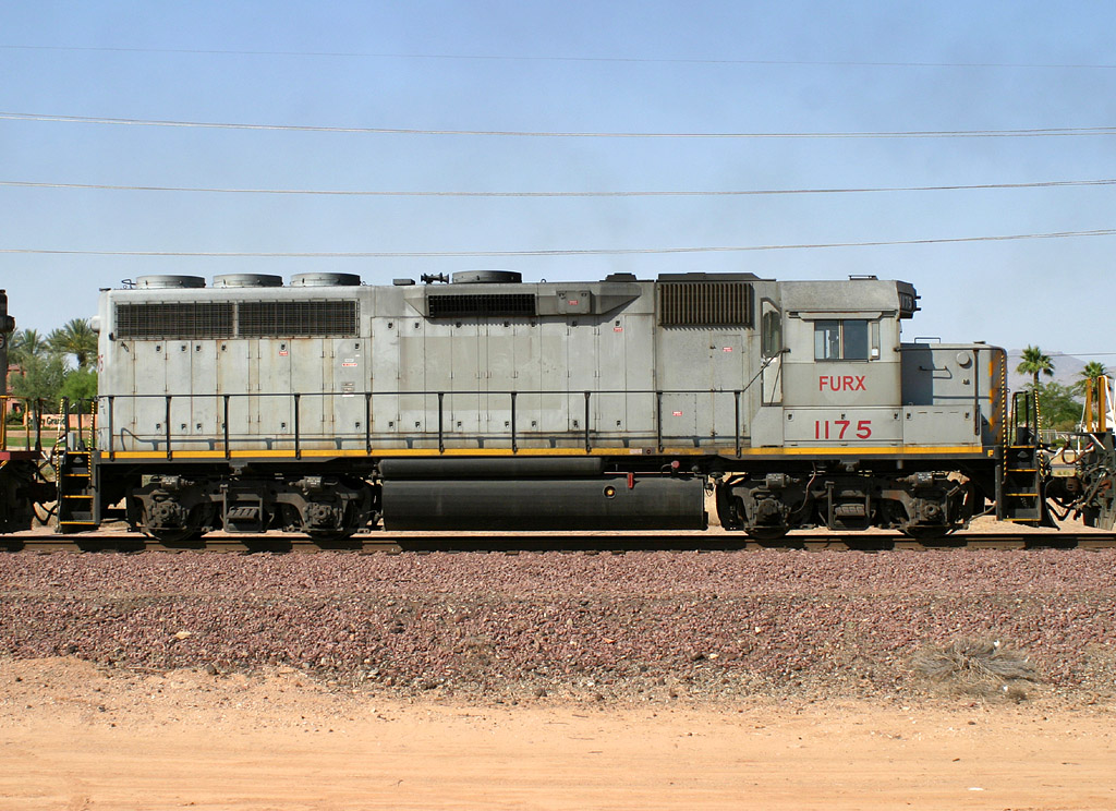
FURX 1175 GP40M-3
East Beardsley
14 Jun 06
FURX 7244 SD40-2
West Beardsley
14 Jun 06
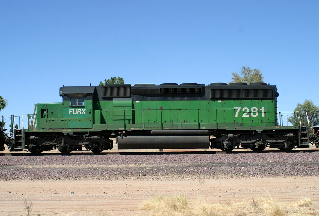
FURX 7281 SD40-2
West Beardsley
14 Jun 06
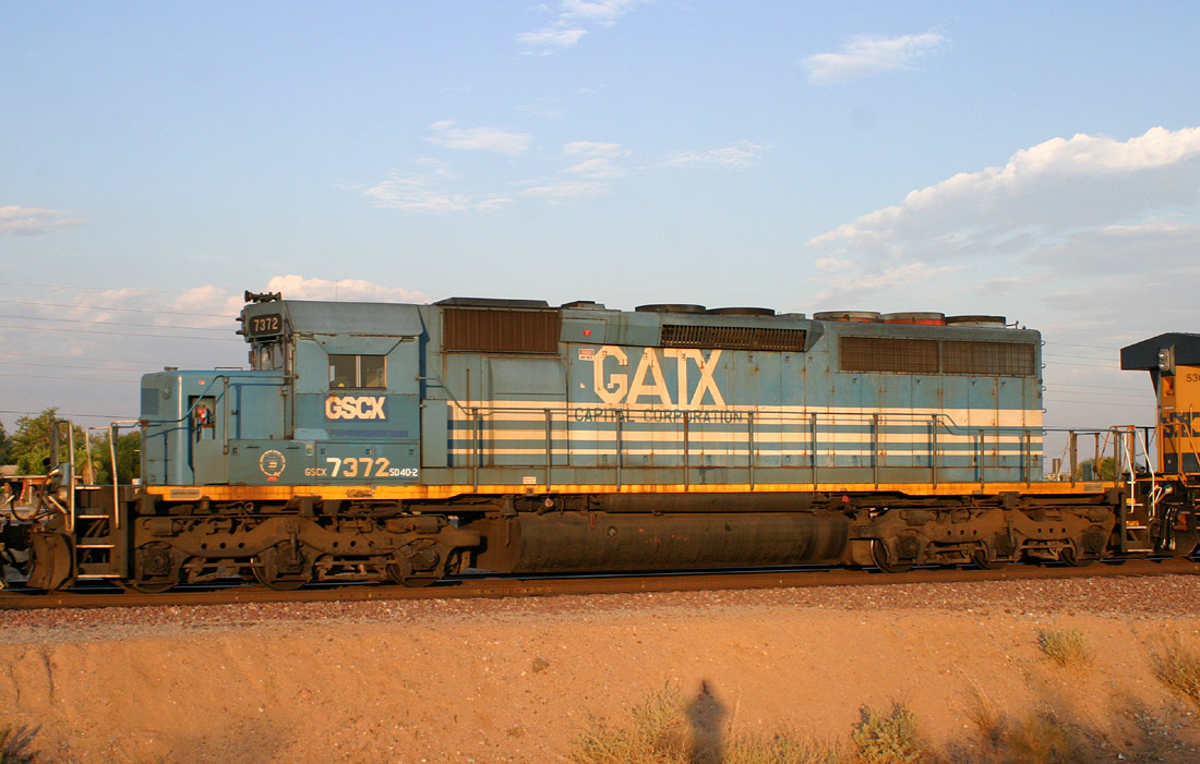
GSCX 7372 SD40-2
Wittmann
22 Jul 06
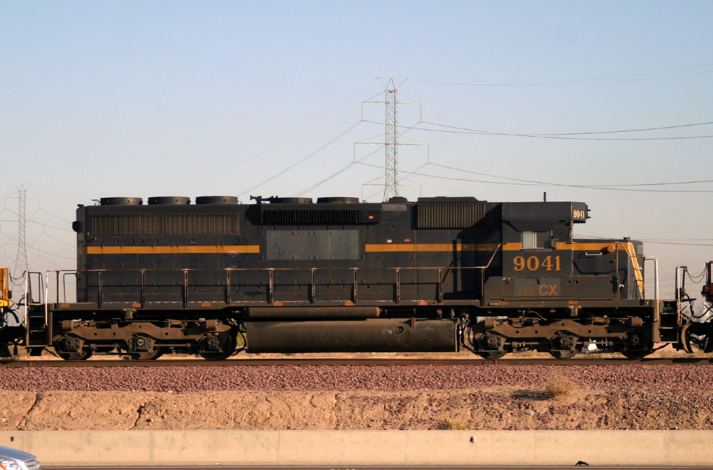
HLCX 9041 SD40M-2
El Mirage
16 Dec 05

NREX B4262 SD40-2
El Mirage
02 FEb 06
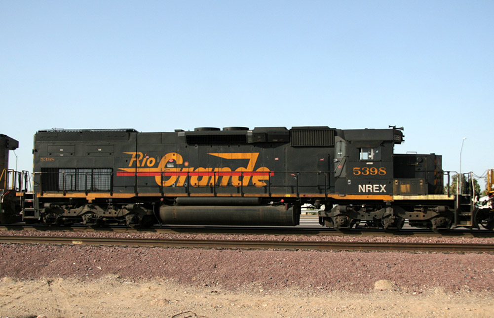
NREX 5398 SD40T-2
El Mirage
10 Apr 07
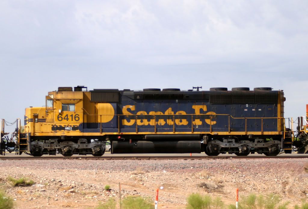
NREX 6416 SD45
El Mirage
05 Sep 05
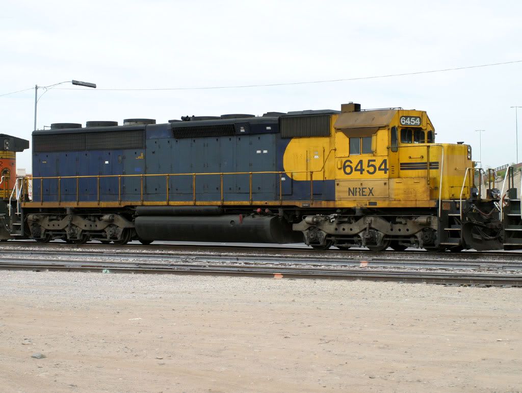
NREX 6454 SD45-2
Glendale
05 Feb 06
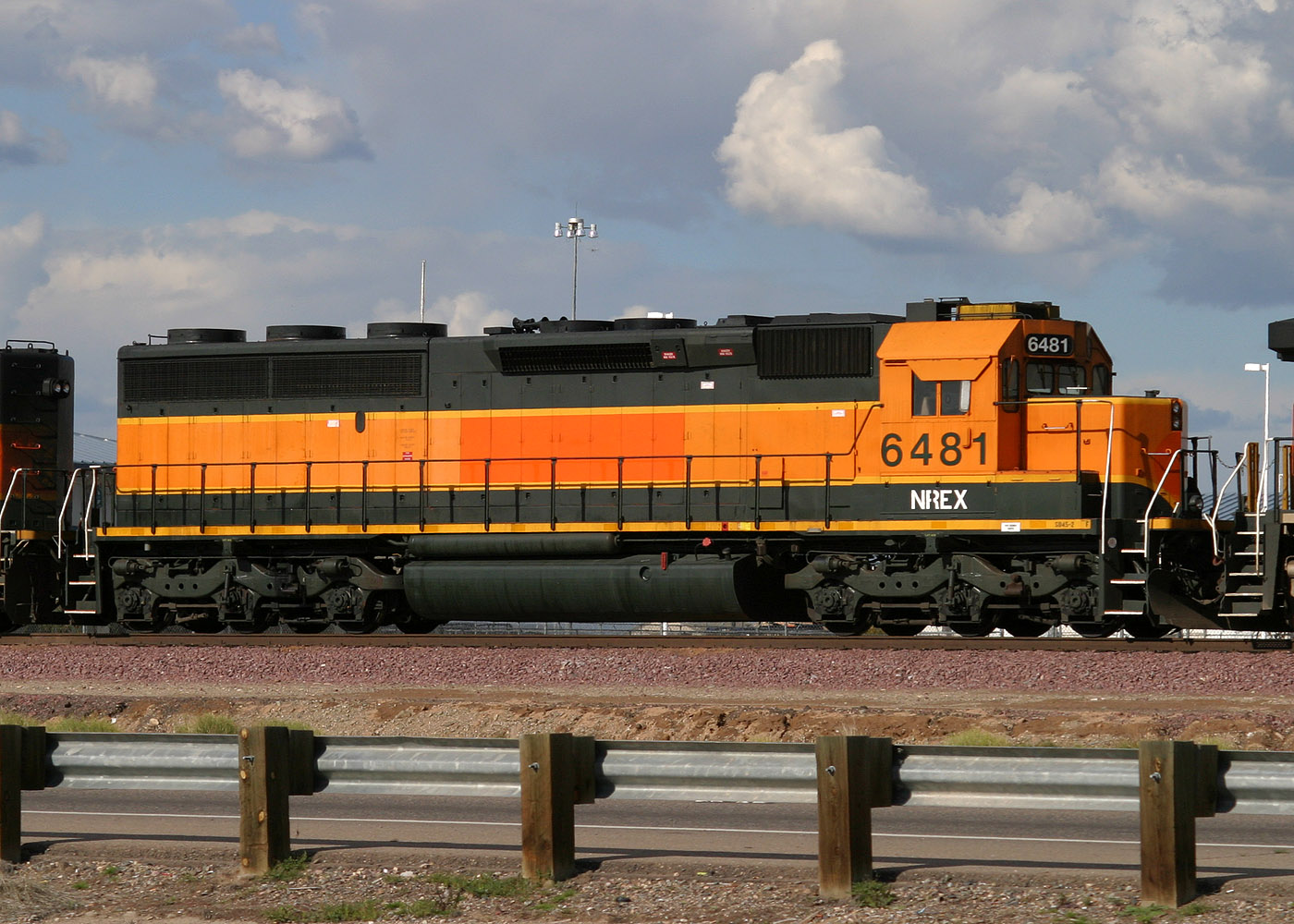
NREX 6481 SD45-2
El Mirage
25 Feb 05
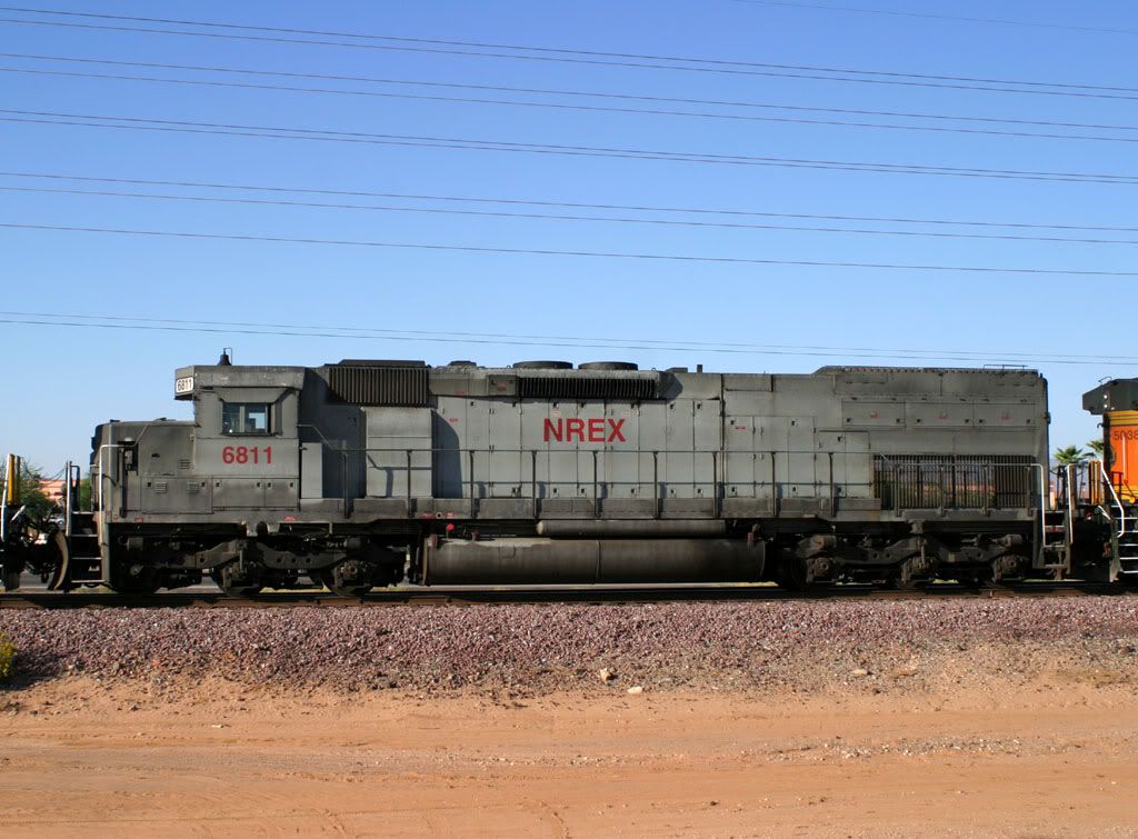
NREX 6811 SD45T-2
West Beardsley
06 Oct 05
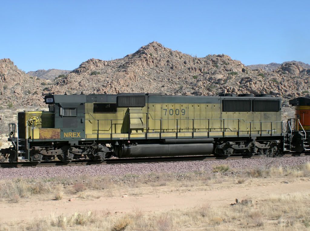
NREX 7009 SD50
Near Piedmont
21 Jan 06
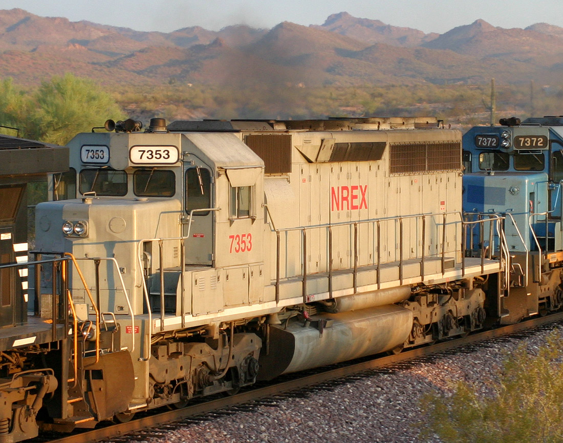
NREX 7353 SD40R
Castle Hot Springs
22 Jul 06
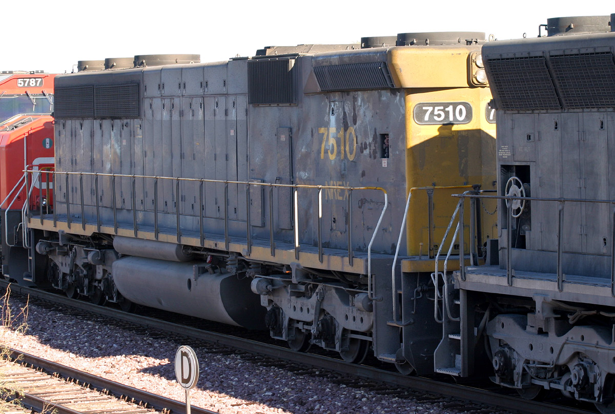
NREX 7510 SD45-2B
Date
10 Dec 05
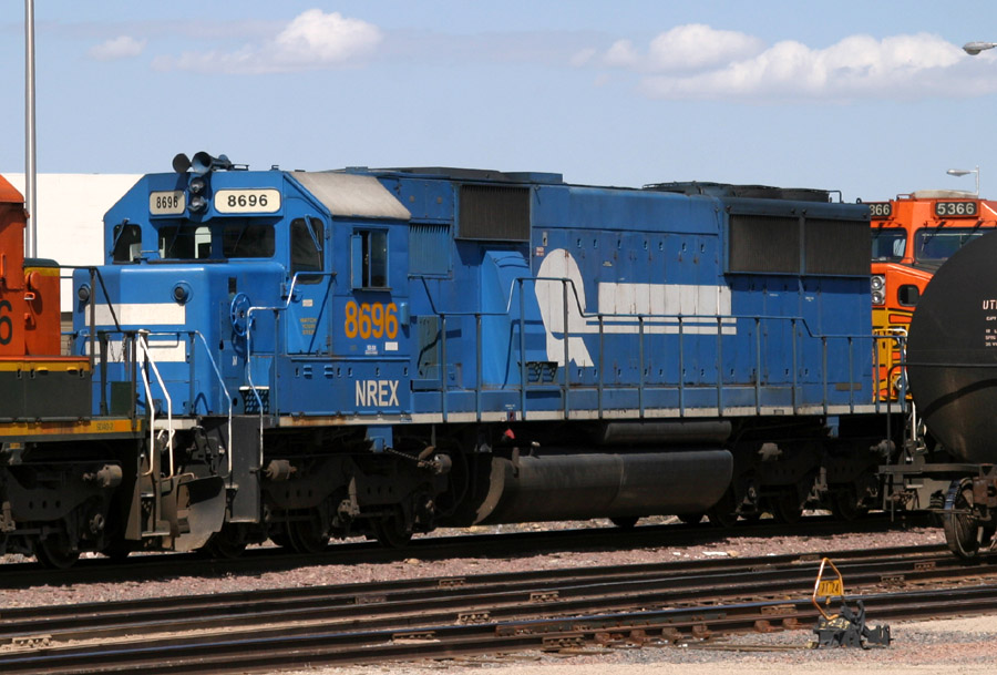
NREX 8696 SD50
Alhambra
7 May 05
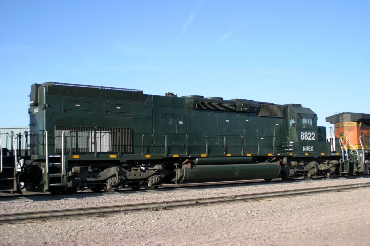
NREX 8822 SD40T-2
Alhambra
30 Jan 06
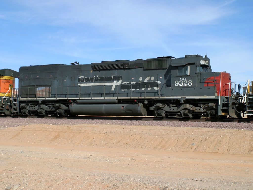
NREX 9328 SD45T-2
West Beardsley
26 Dec 05
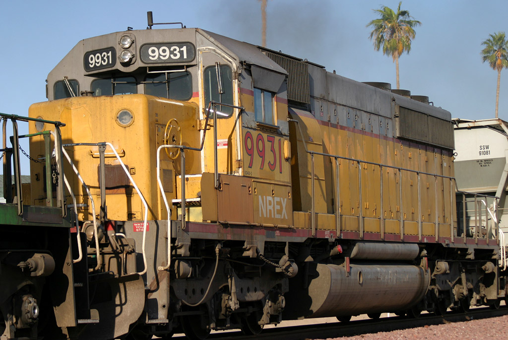
NREX 9931 SD40-2
Sun City
08 May 05
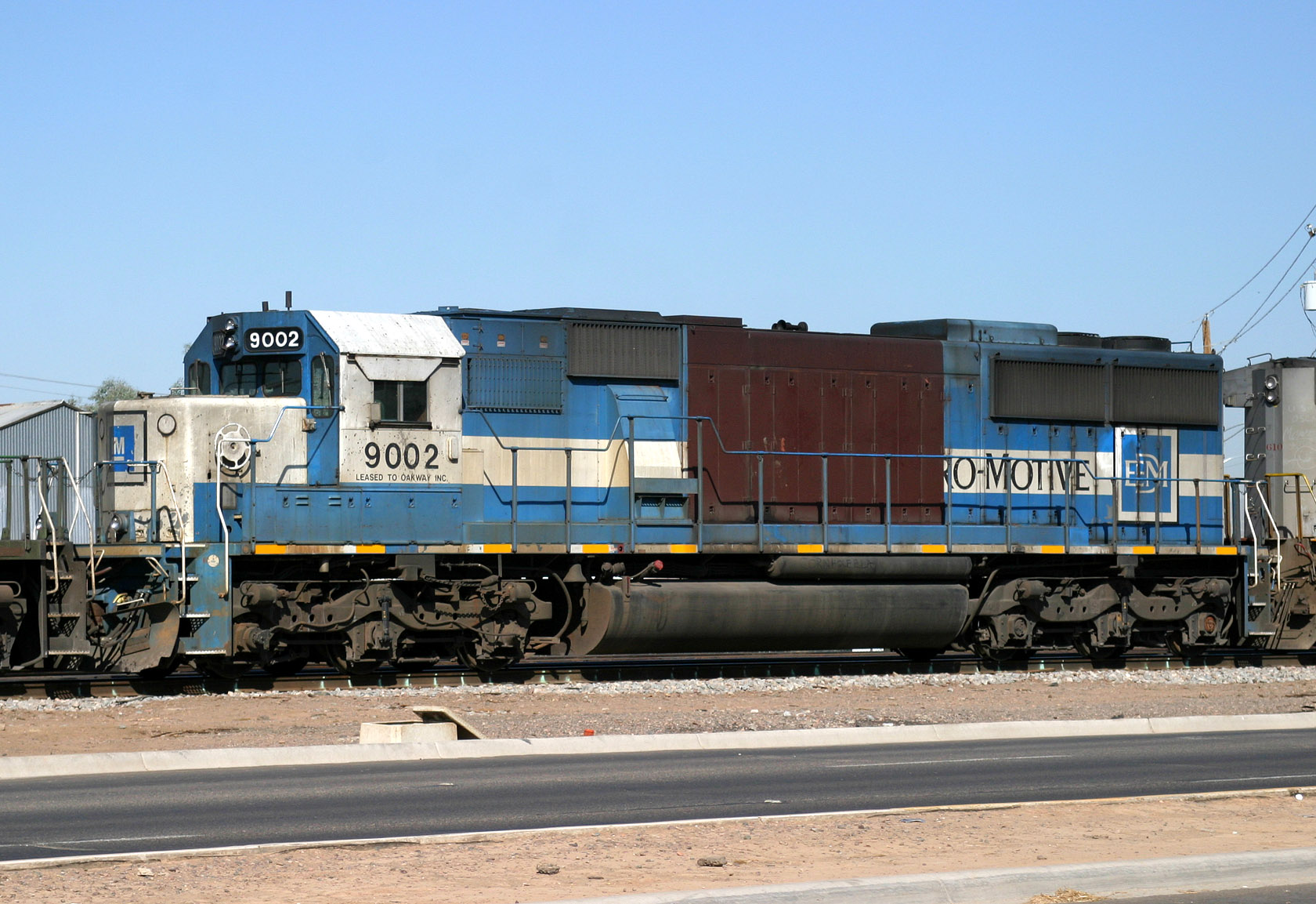
Oakway 9002 SD60
Glendale
06 Jul 05
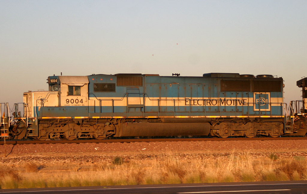
Oakway 9004 SD60
Surprise
04 Nov 05
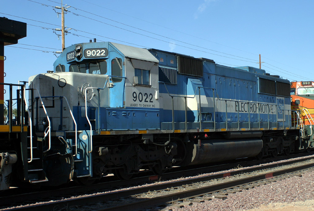
Oakway 9022 SD60
Beardsley
21 Feb 06
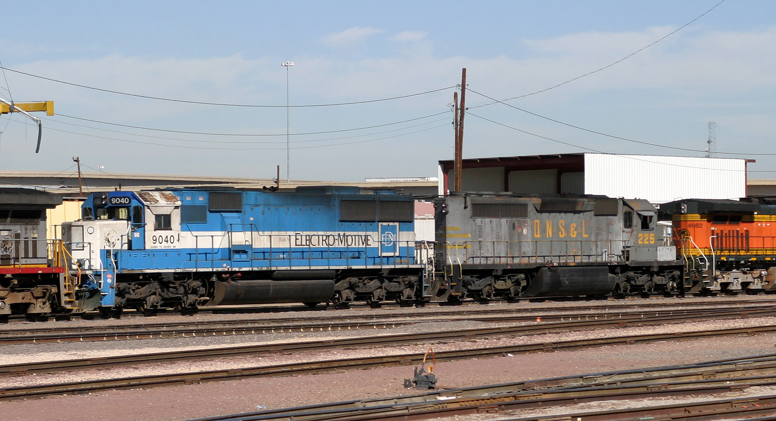
Oakway 9040 SD60
Mobest
17 Sep 05
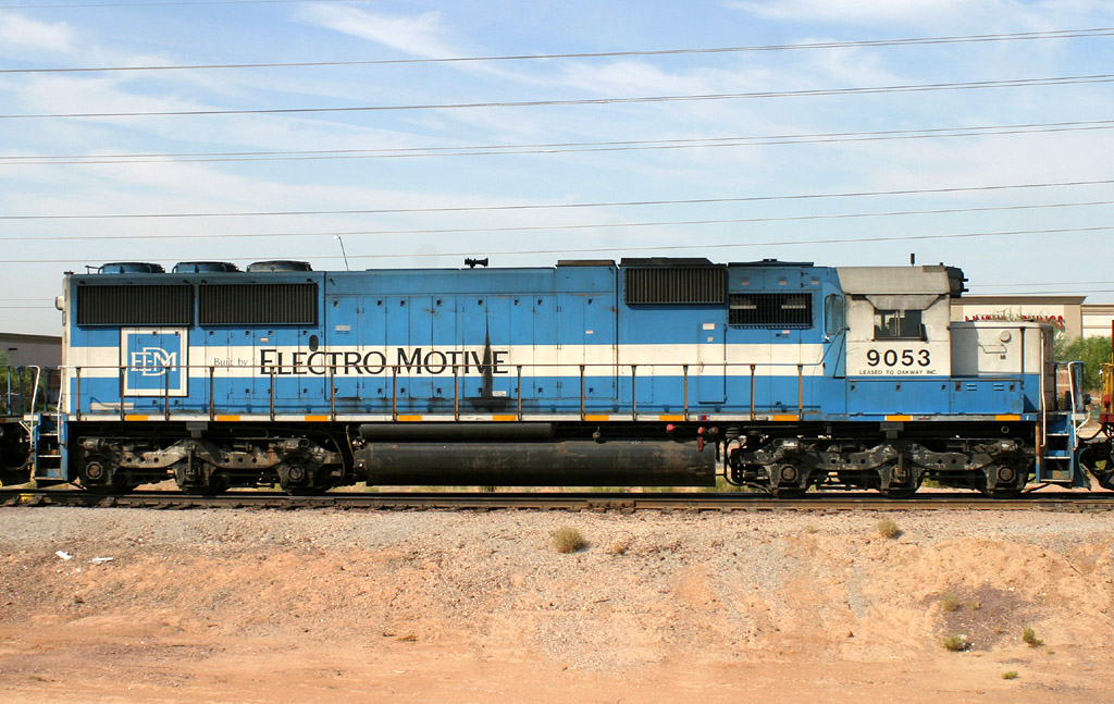
Oakway 9053 SD60
Lizard Acres
28 Jun 06
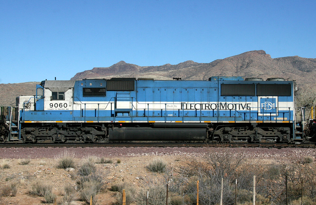
Oakway 9060 SD60
Date
19 Jan 08
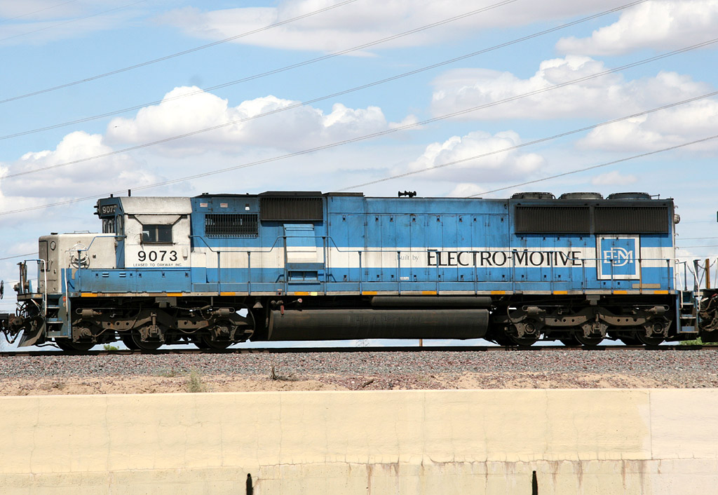
Oakway 9073 SD60
El Mirage
31 Aug 08
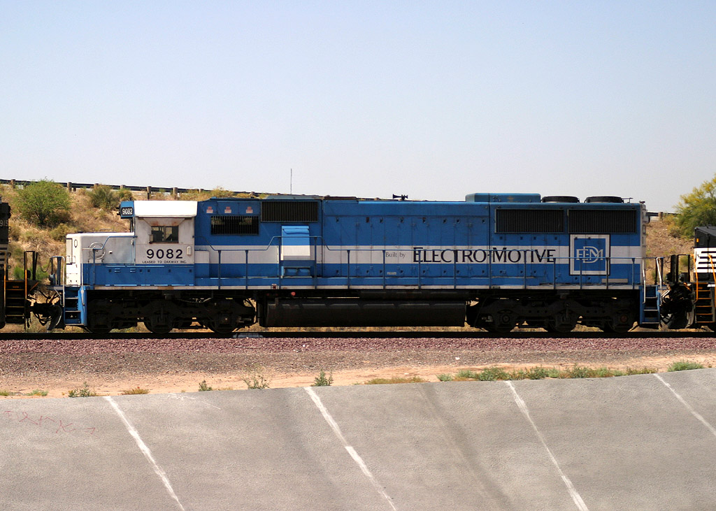
Oakway 9082 SD60
Restricted Limits
16 Apr 05
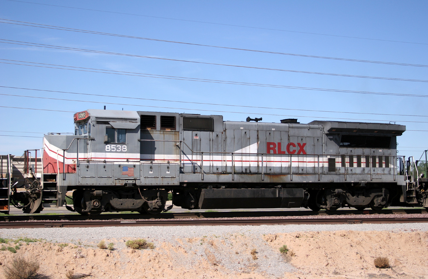
RLCX 8538 D8-39B
Lizard Acres
30 Apr 05
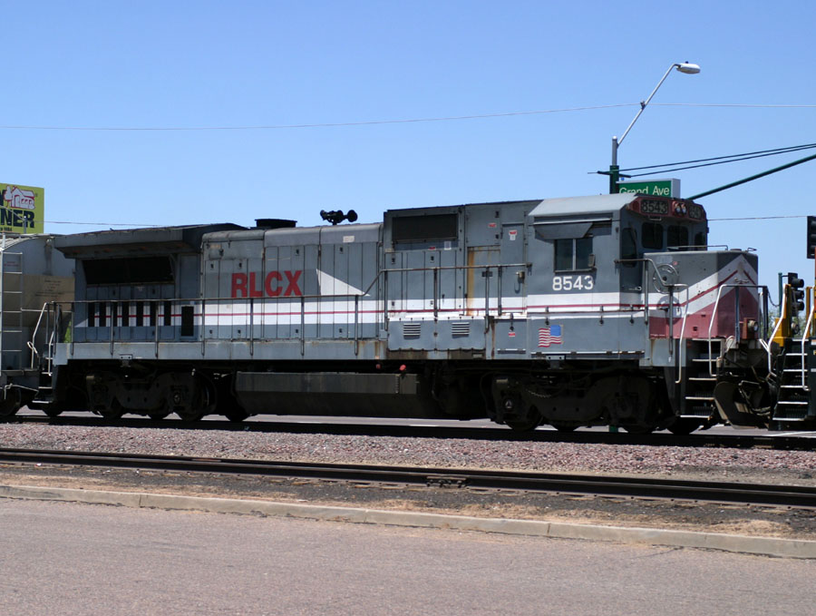
RLCX 8543 D8-39B
Phoenix
26 Jun 05
BNSF Peavine Power Photo Index
Photos of many of the typical (and some not-so-typical) BNSF locos spotted on the Peavine...some as
leaders and some as followers:
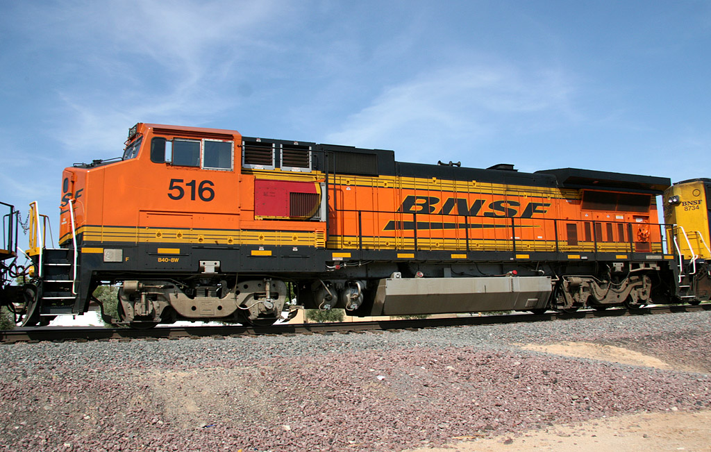
D8-40BW 516
Surprise
2 Aug 08
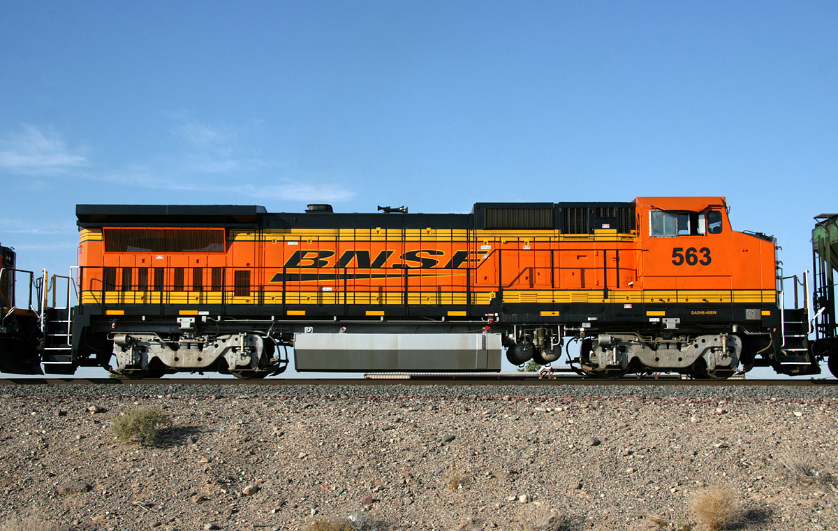
D8-40BW 563
El Mirage
23 Jun 08

GP38-2 2014
Surprise
11 Nov 06
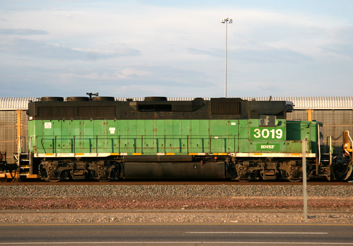
GP40M 3019
El Mirage
27 Aug 08
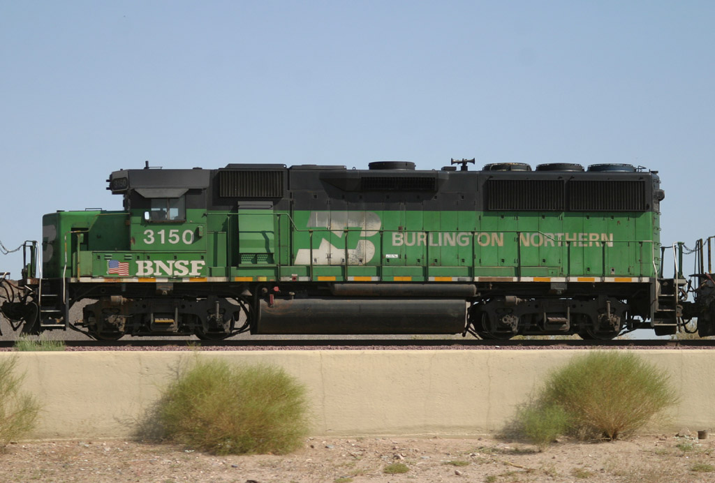
GP50 3150
El Mirage
28 Sep 06
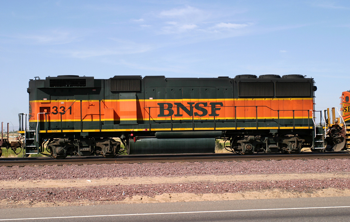
GP60B 331
El Mirage
25 May 05
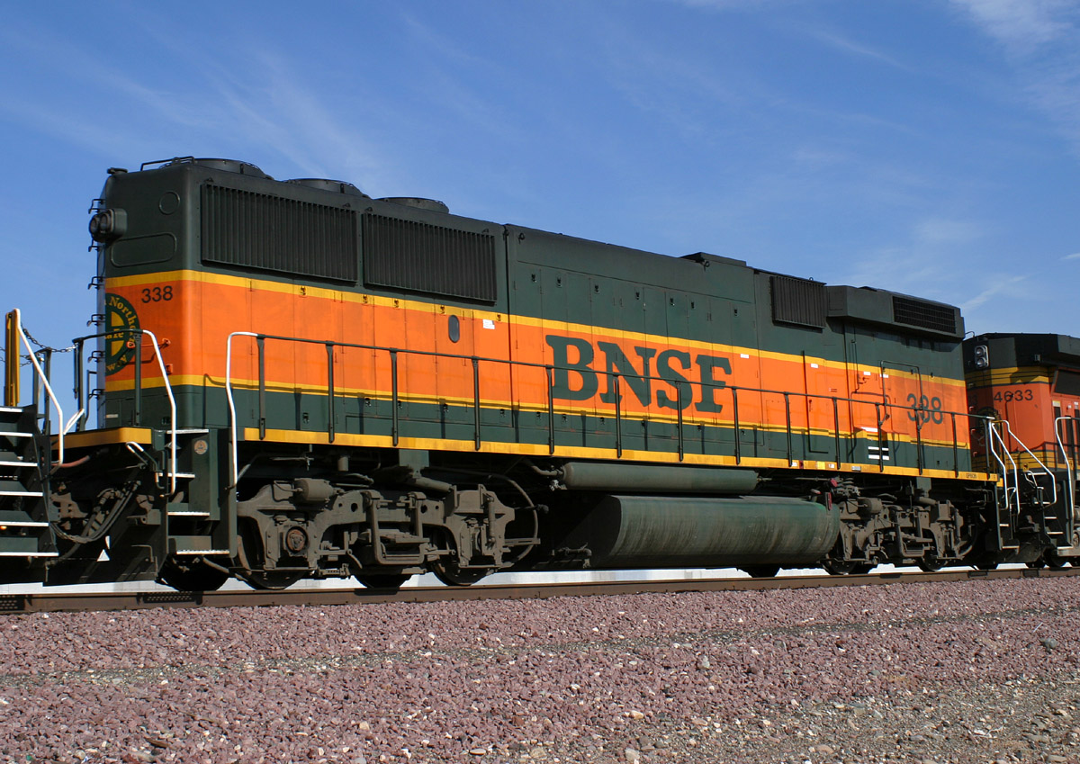
GP60B 338
Peoria Curve
19 Nov 04
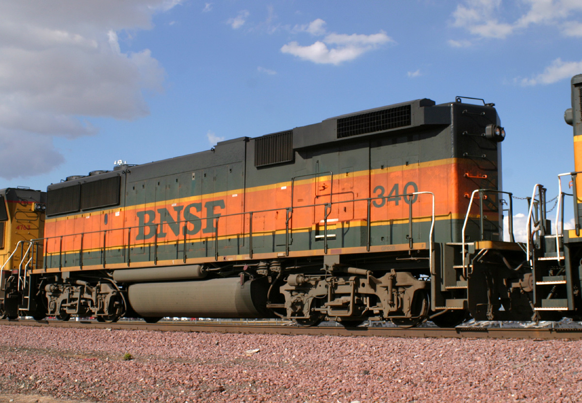
GP60B 340
El Mirage
25 Feb 05
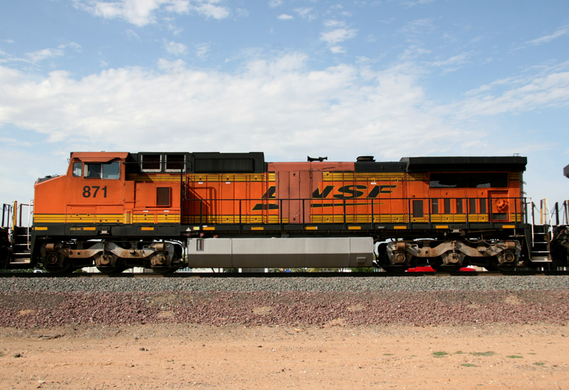
D8-40CW 871
El Mirage
28 Aug 08

D8-40CW 882
El Mirage
20 Nov 05
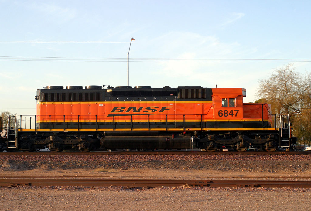
SD40-2 6847
Peoria
9 Jan 07
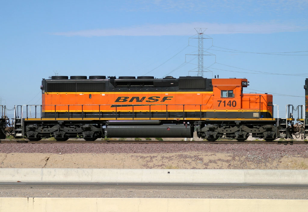
SD40-2 7140
El Mirage
29 Oct 06
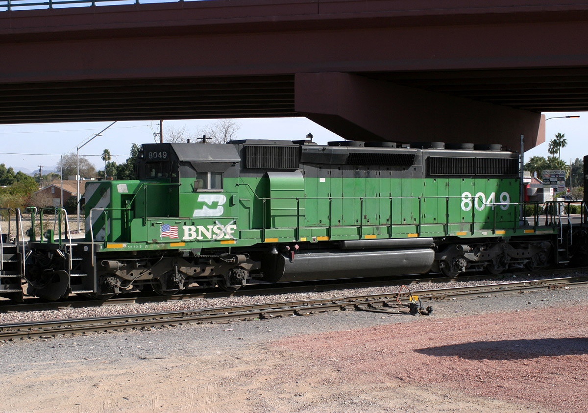
SD40-2 8049
Glendale
24 Jan 06
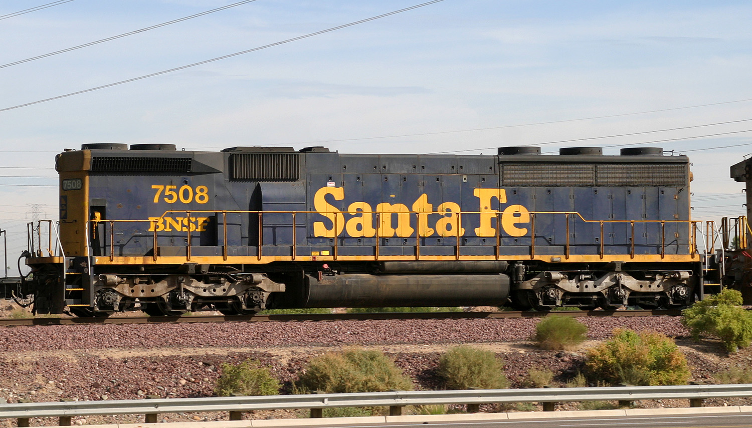
SD45-2B 7508
El Mirage
07 Nov 05
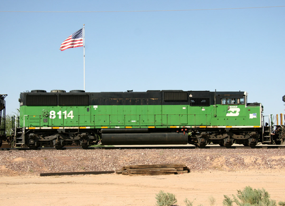
SD60M 8114
Beardsley
12 Jun 08
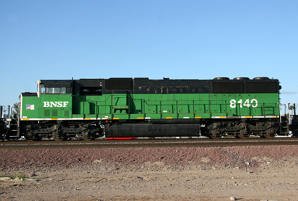
SD60M 8140
El Mirage
17 Mar 08
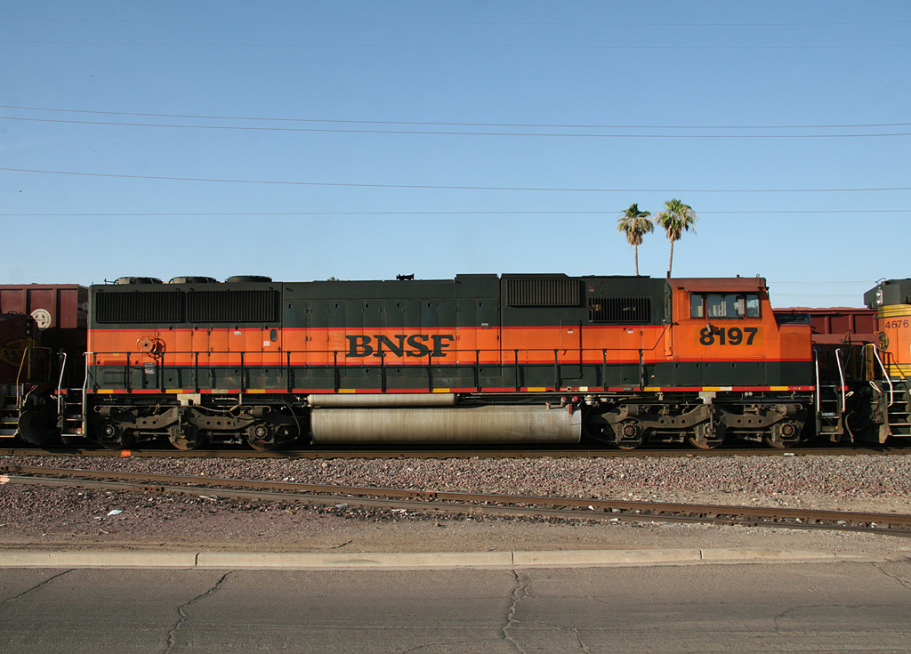
SD60M 8197
Alhambra
22 Jun 08
SD60M 8197
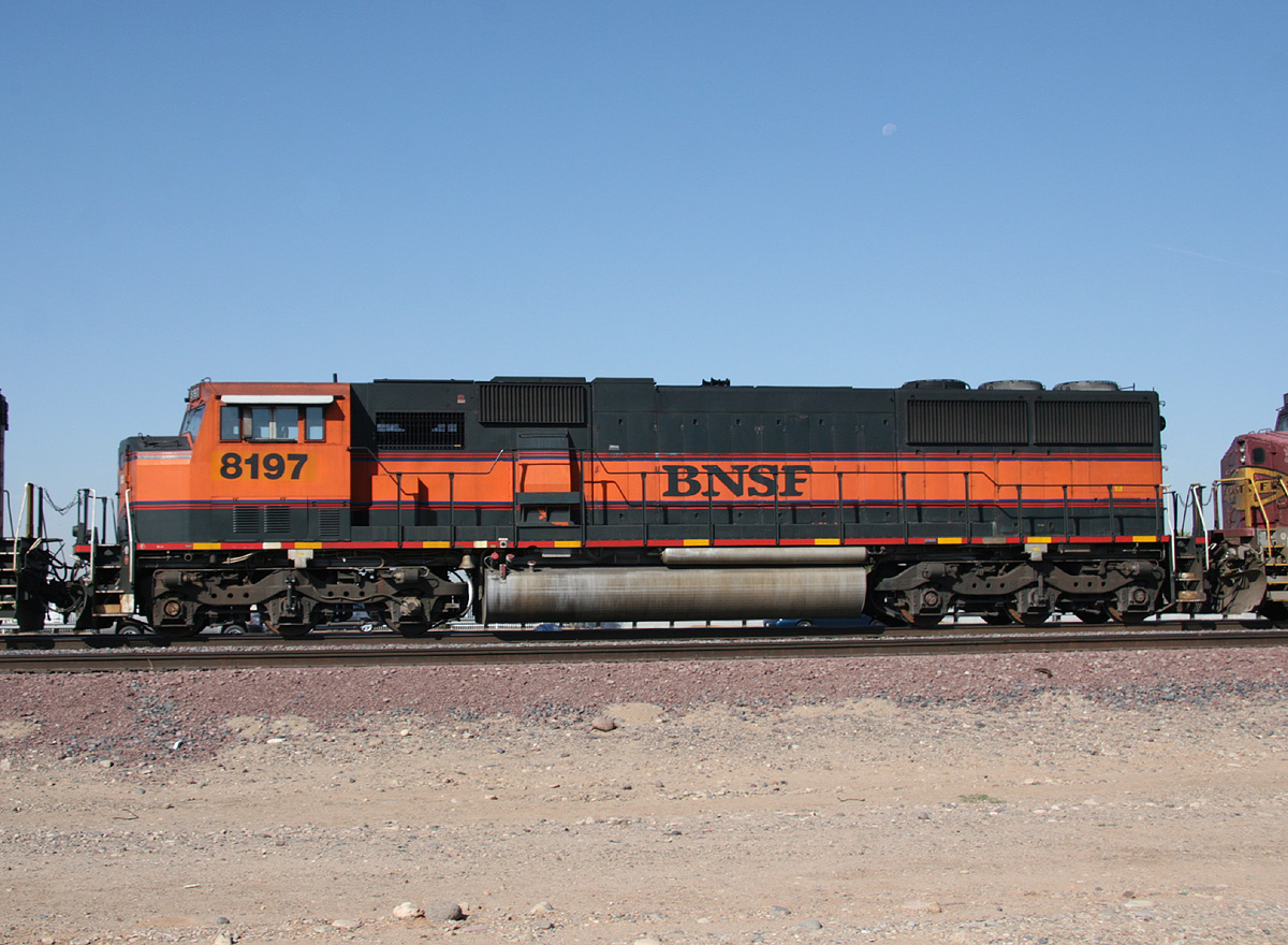
El Mirage
23 Jun 08
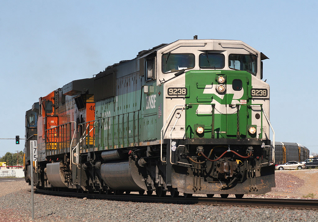
SD60M 9238
El Mirage
09 Mar 08
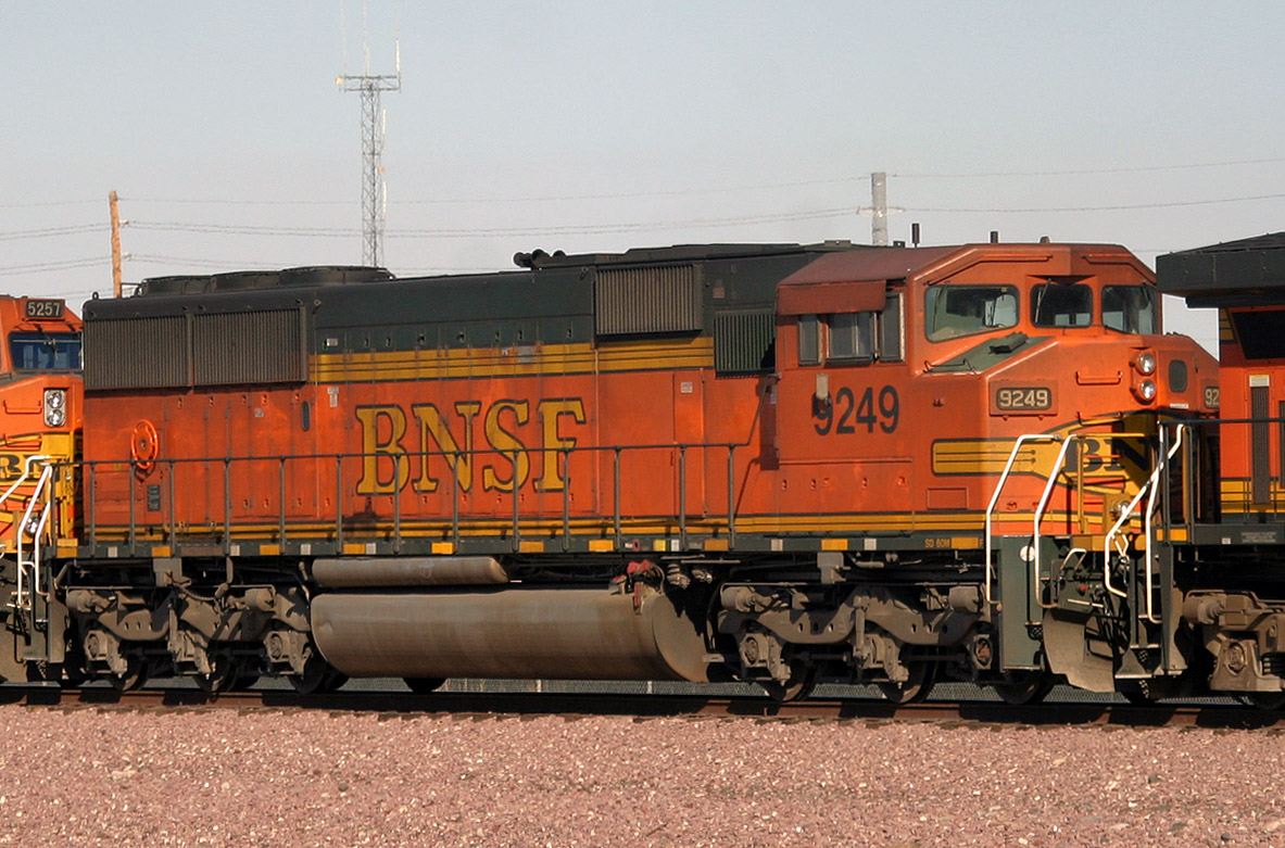
SD60M 9249
Peoria
12 Feb 06
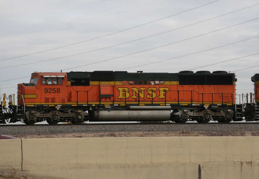
SD60M 9258
El Mirage
29 Nov 07
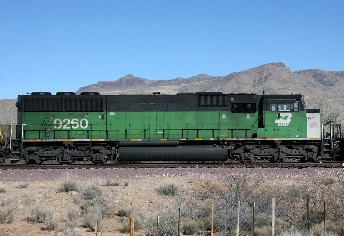
SD60M 9260
Date
19 Jan 08
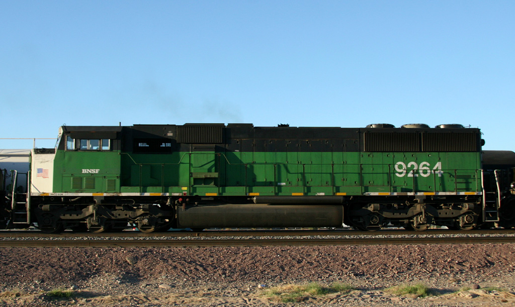
SD60M 9264
El Mirage
19 Nov 07
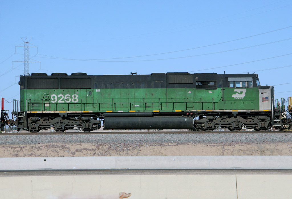
SD60M 9268
El Mirage
24 Nov 07
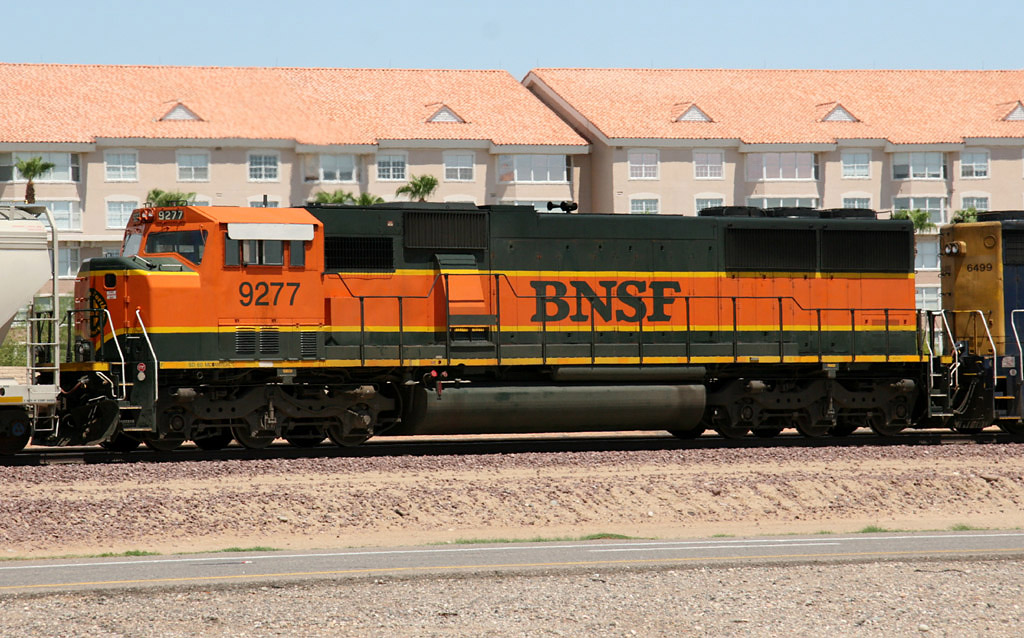
SD60M 9277
Beardsley
29 Jul 07
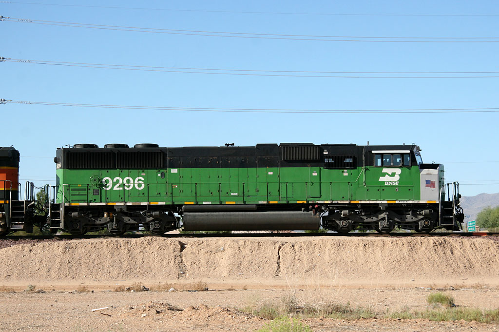
SD60M 9296
Beardsley
25 Sep 07
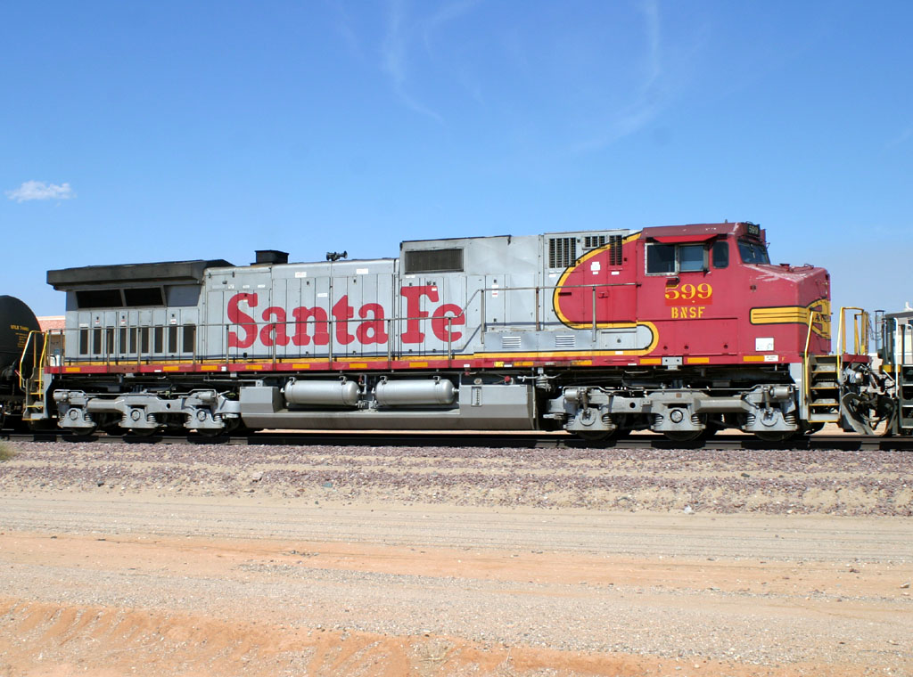
D9-44CW 599 (ex-666)
Beardsley
27 Sep 06
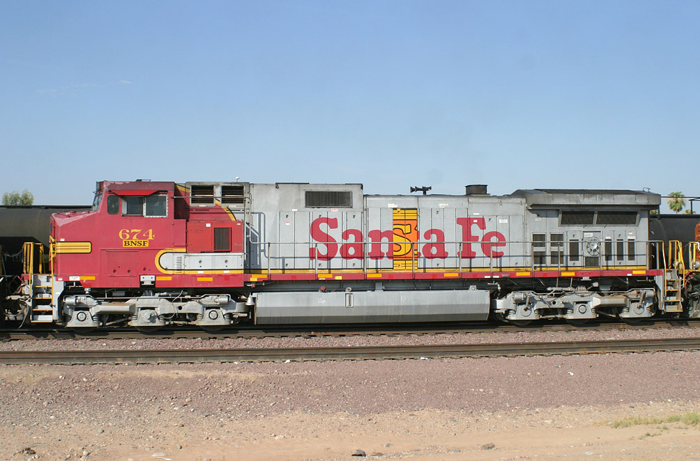
D9-44CW 674
El Mirage
18 Jul 06
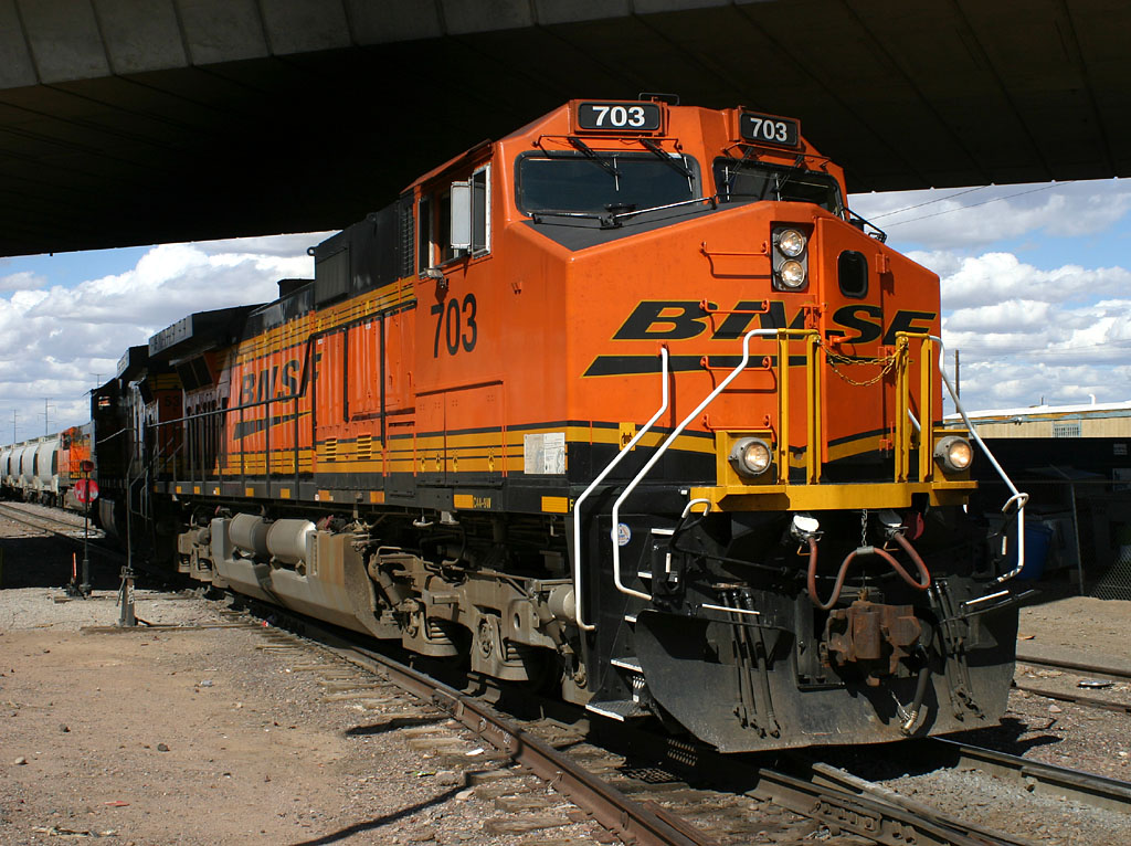
D9-44CW 703
Alhambra
23 Feb 07
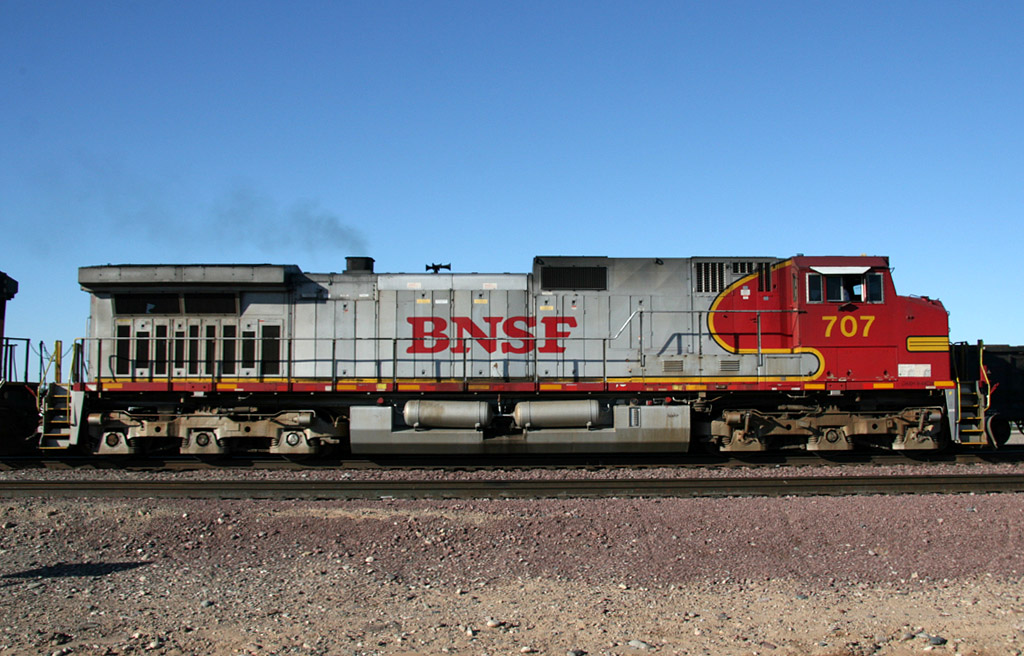
D9-44CW 707
El Mirage
30 Mar 07
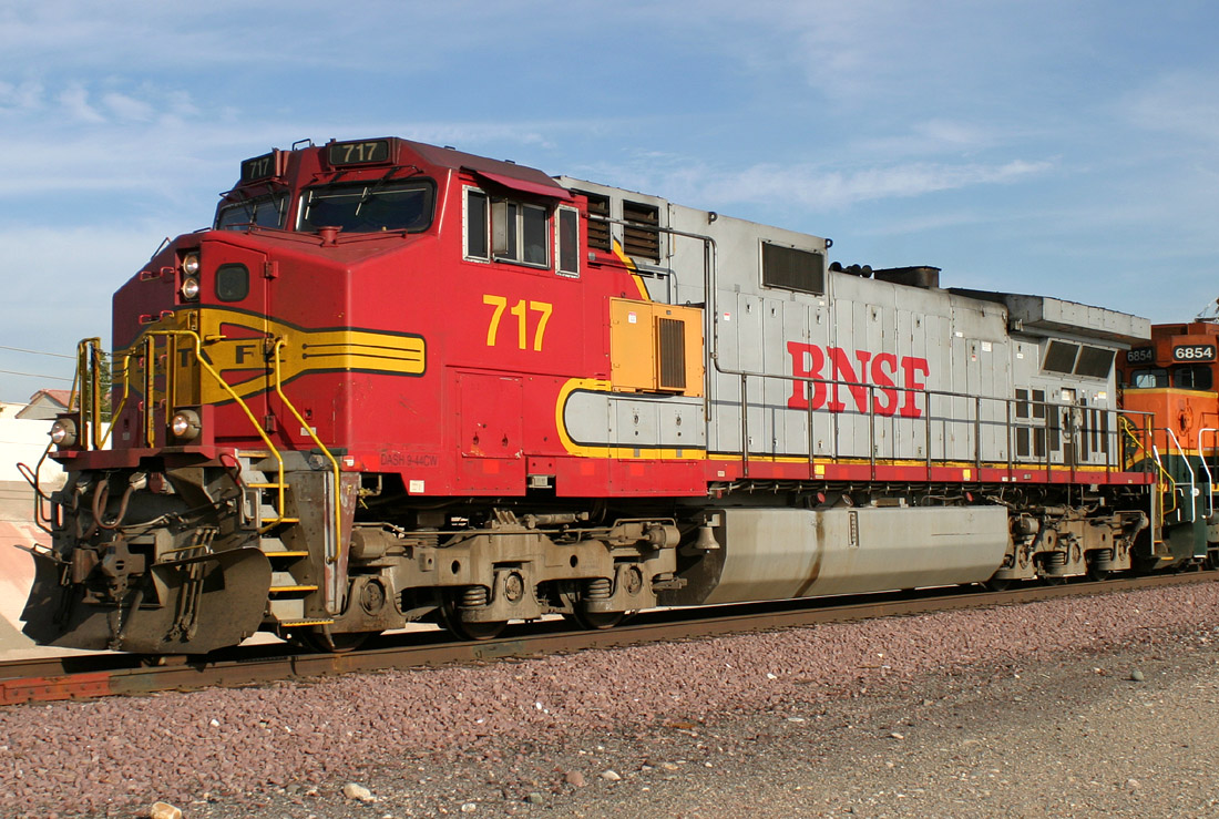
D9-44CW 717
Sun City
23 Dec 05
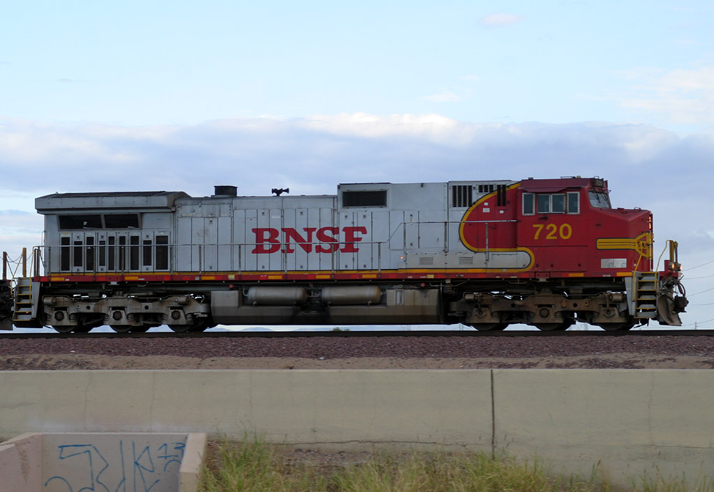
D9-44CW 720
El Mirage
15 Oct 06
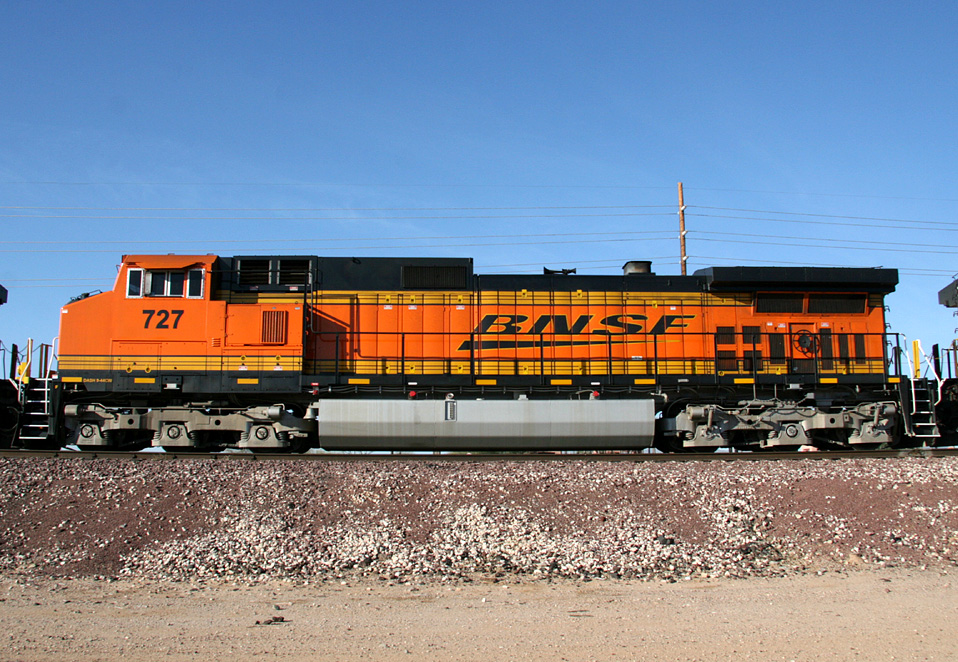
D9-44CW 727
E. Beardsley
19 Mar 08
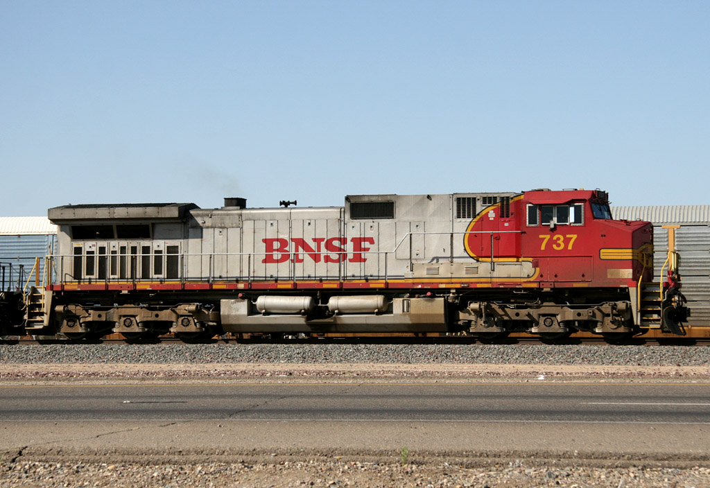
D9-44CW 737
El Mirage
13 Jun 08
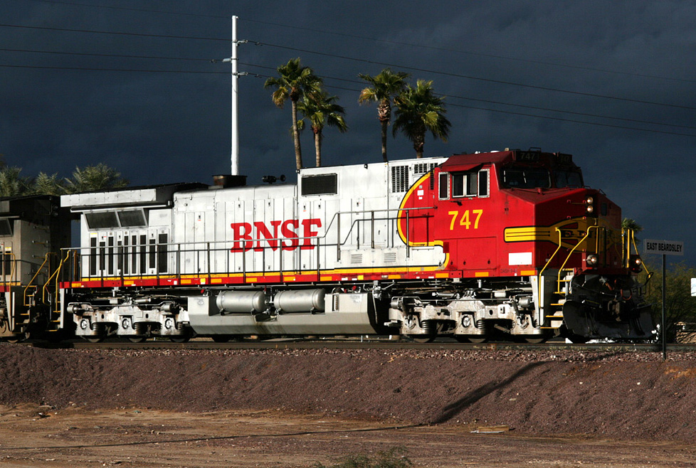
D9-44CW 747
E. Beardsley
28 Jan 08
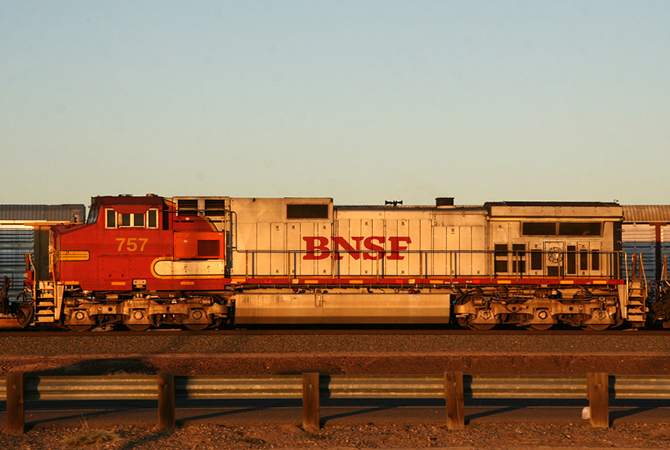
D9-44CW 757
El Mirage
17 Nov 08
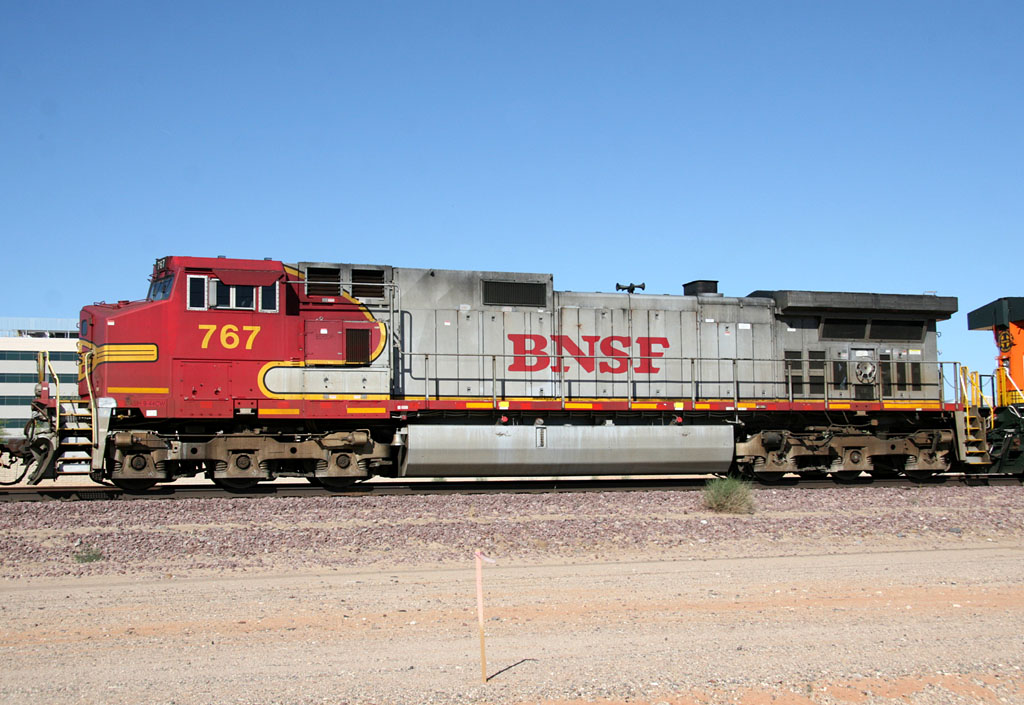
D9-44CW 767
W. Beardsley
10 Apr 08
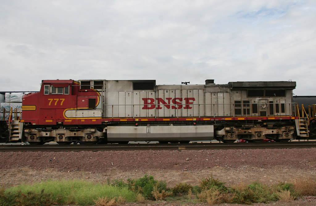
D9-44CW 777
El Mirage
25 Aug 08
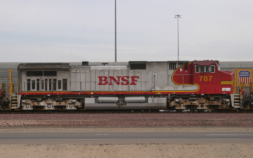
D9-44CW 787
El Mirage
02 Dec 05
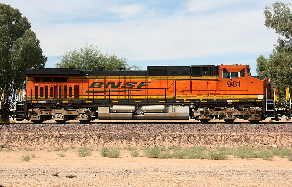
D9-44CW 981
Beardsley
02 Jul 09
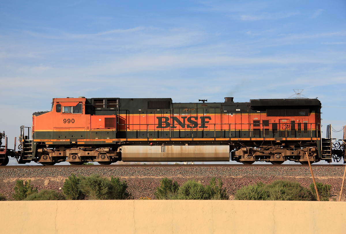
D9-44CW 990
El Mirage
05 Oct 12

D9-44CW 1050
El Mirage
23 Jan 08

D9-44CW 1101
El Mirage
19 Feb 06
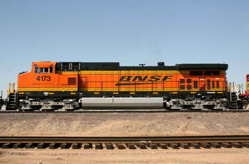
D9-44CW 4173
El Mirage
3 Jul 07
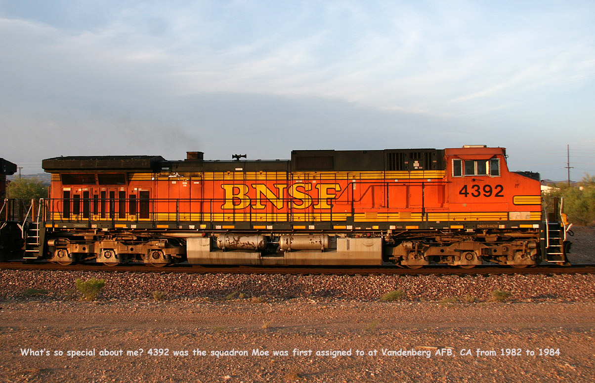
D9-44CW 4392
Castle Hot Springs
29 Aug 08
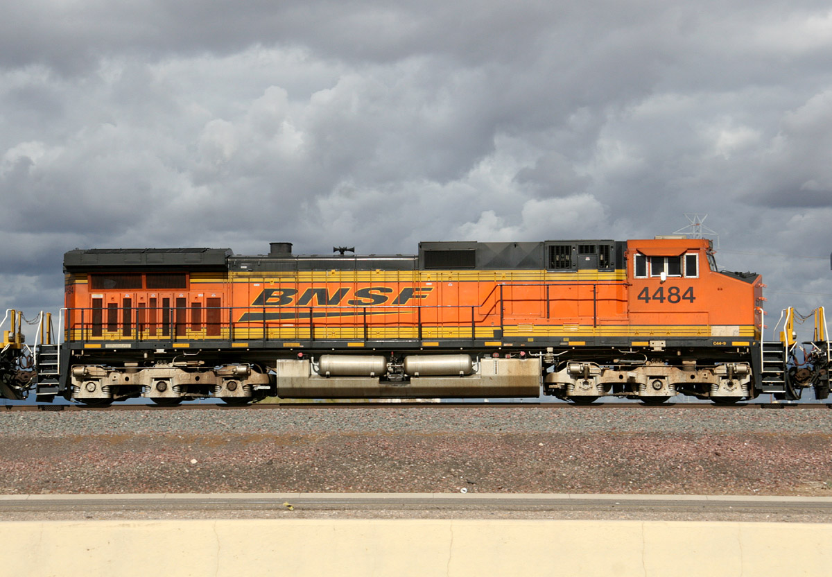
D9-44CW 4484
El Mirage
23 Jan 10
D9-44CW 4519
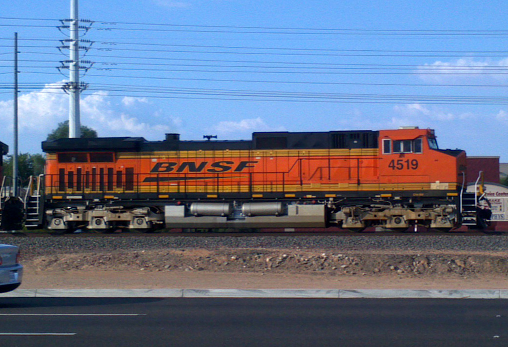
Lizard Acres
30 Jul 12
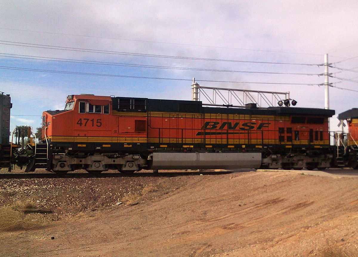
D9-44CW 4715
E. Beardsley
16 Feb 11
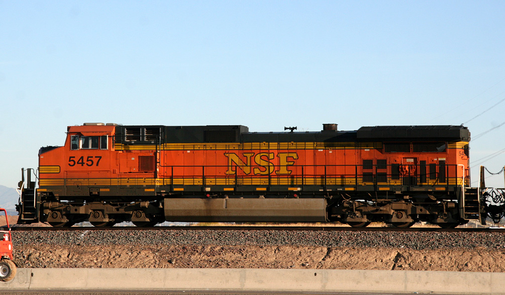
D9-44CW 5457
El Mirage
7 Jan 09
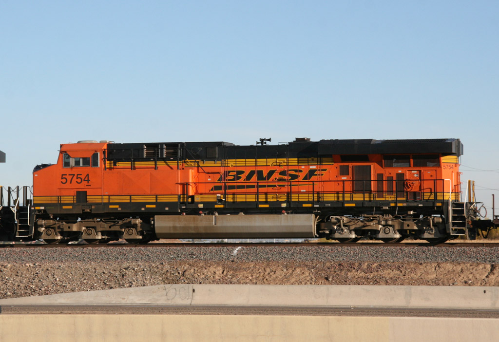
ES44AC 5754
El Mirage
6 Jan 09
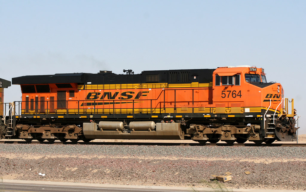
ES44AC 5764
El Mirage
22 Oct 08
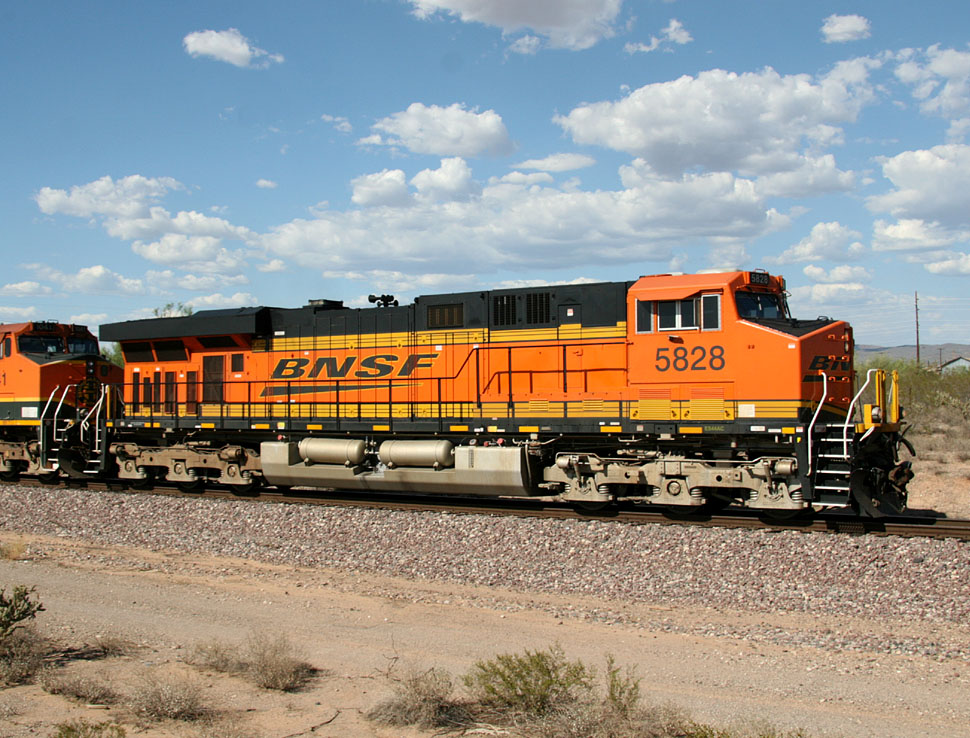
ES44AC 5828
Castle Hot Springs
12 Sep 07

ES44AC 5879
El Mirage
21 Jan 08
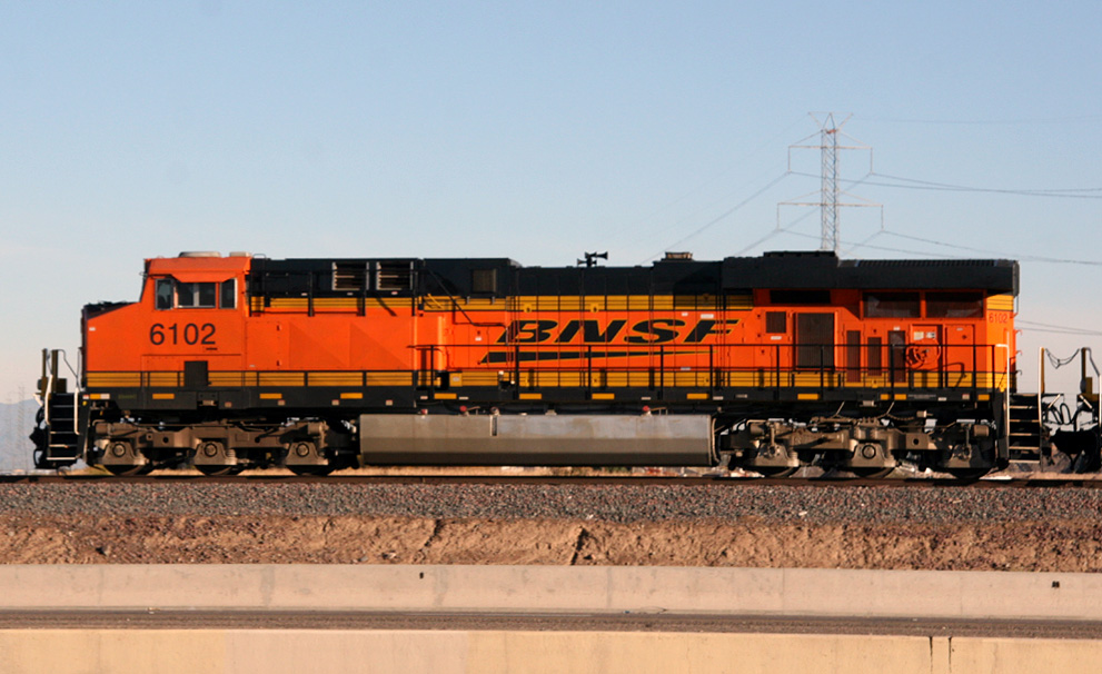
ES44AC 6102
El Mirage
6 Jan 09
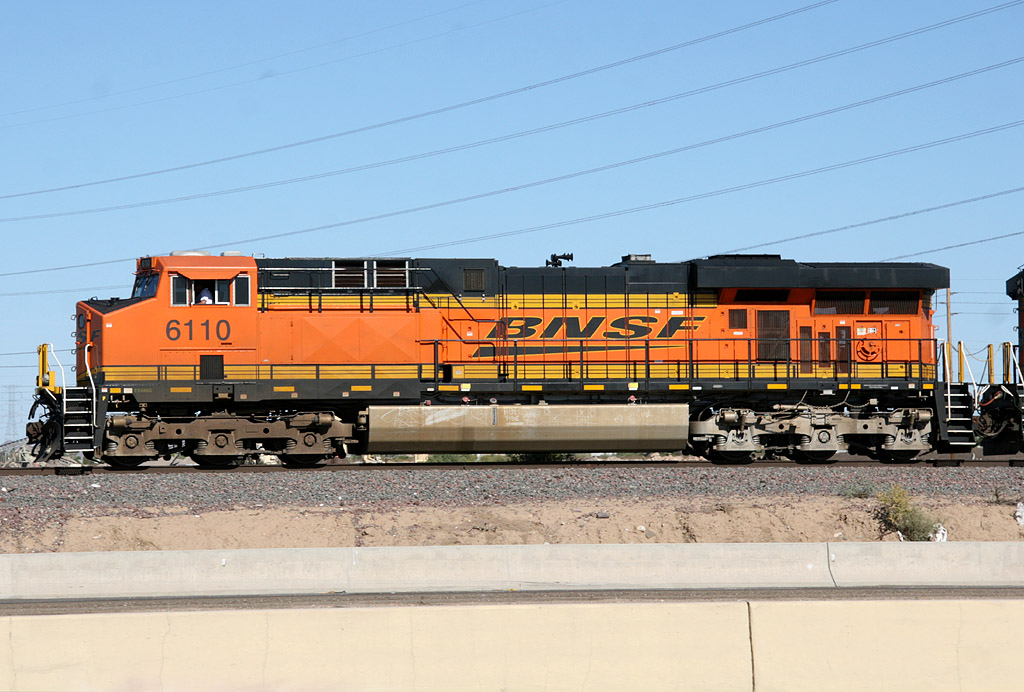
ES44AC 6110
El Mirage
15 Nov 08
ES44AC 6166
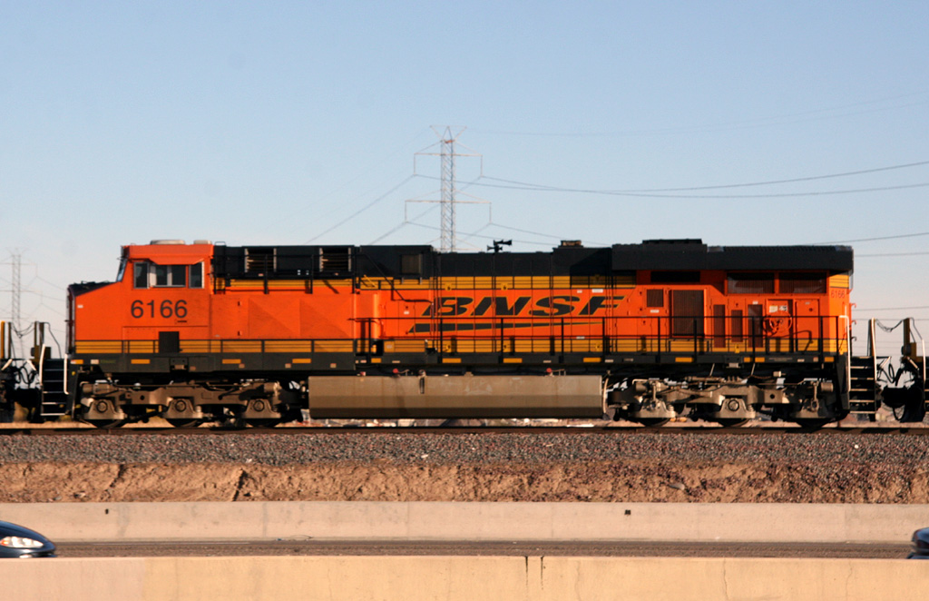
El Mirage
6 Jan 09
BNSF is not afraid to bring hot, new power to Phoenix. Ever since the first ES44DCs arrived back in early 2005, they continue
to ply the Peavine, and I've seen a lot of them to date. Below is a selection of photos of ES44DCs and the newer ES44C4s.
6600 - 7100 Classes
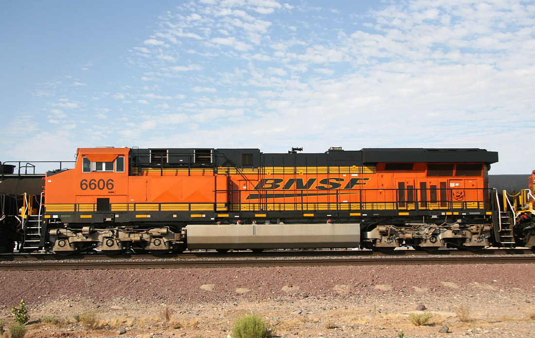
ES44C4 6606
El Mirage
04 Aug 09
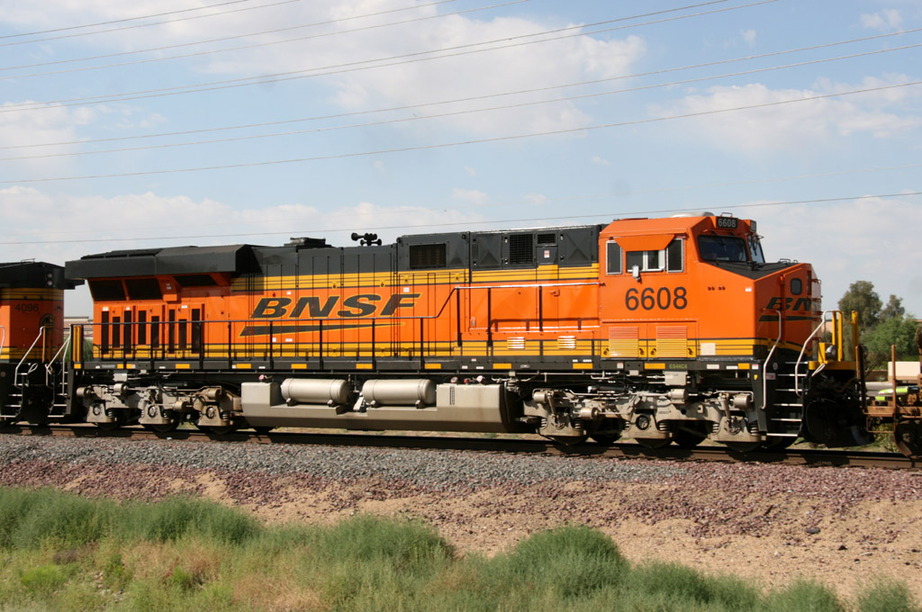
ES44C4 6608
Beardsley
29 May 09
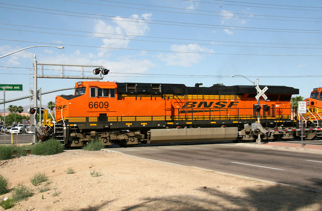
ES44C4 6609
Beardsley
29 May 09
ES44C4 6616
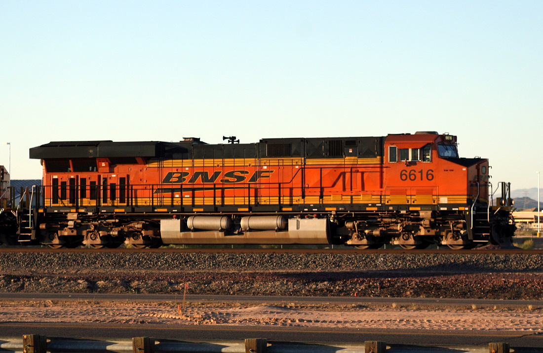
El Mirage
04 Jun 10
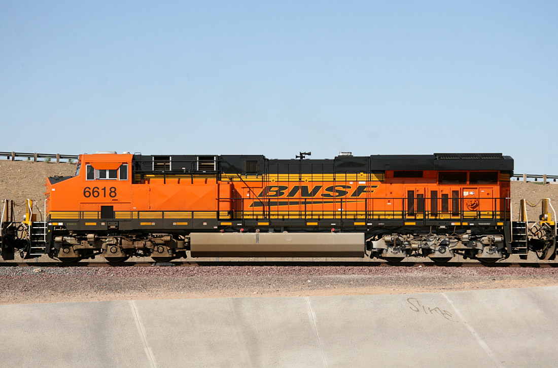
ES44C4 6618
Glendale
25 May 09
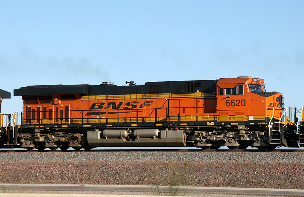
ES44C4 6620
El Mirage
20 Jan 10
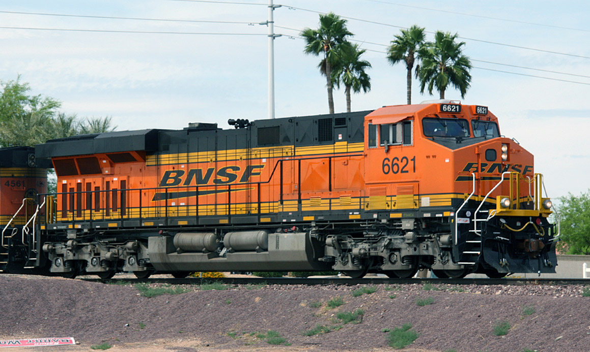
ES44C4 6621
Beardsley
24 Apr 09
ES44C4 6623
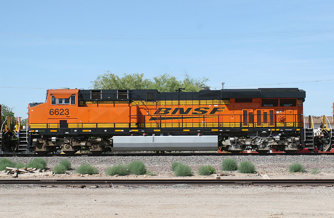
Peoria
04 Jun 10
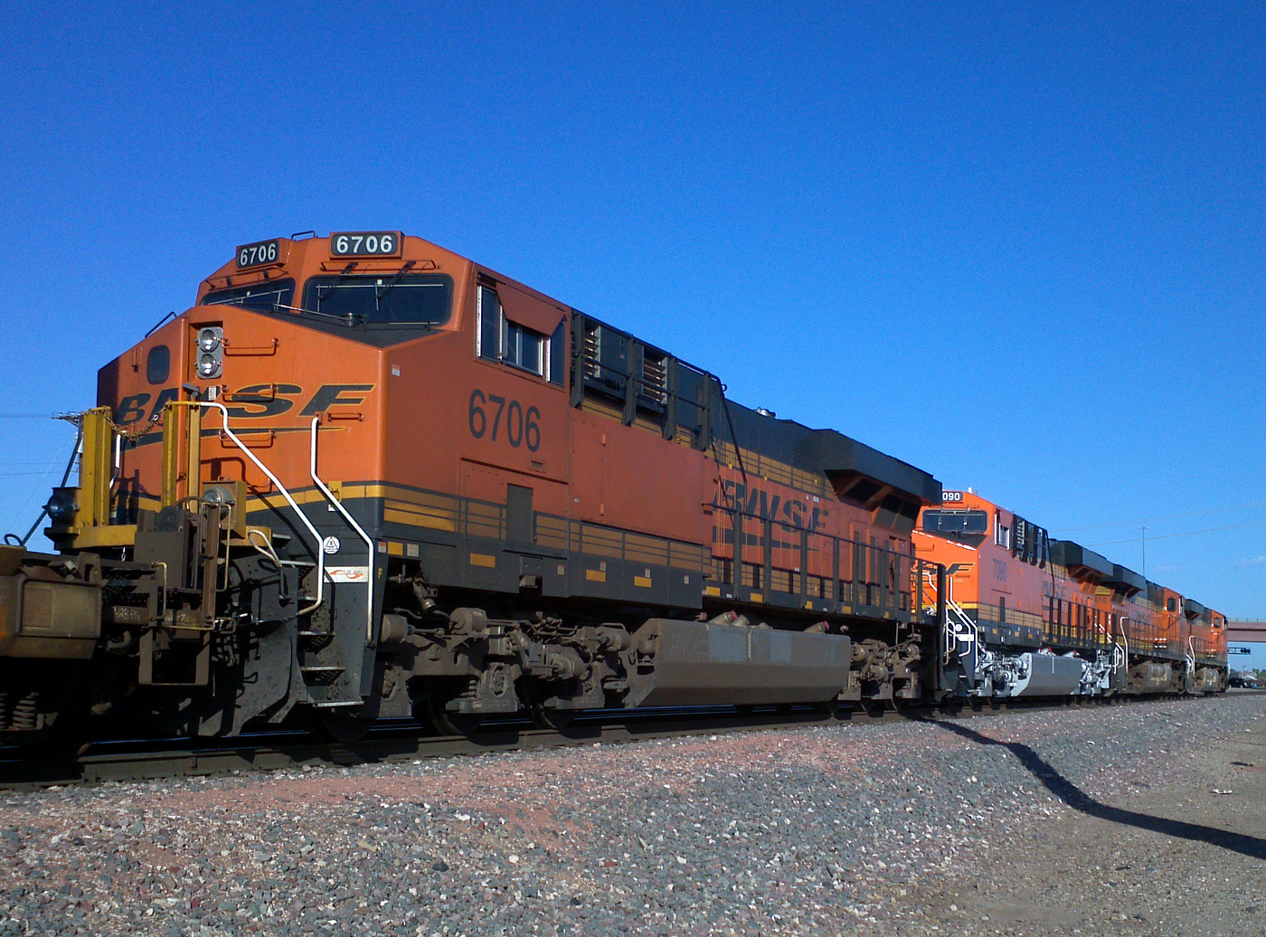
ES44C4 6706
Glendale
29 Sep 12
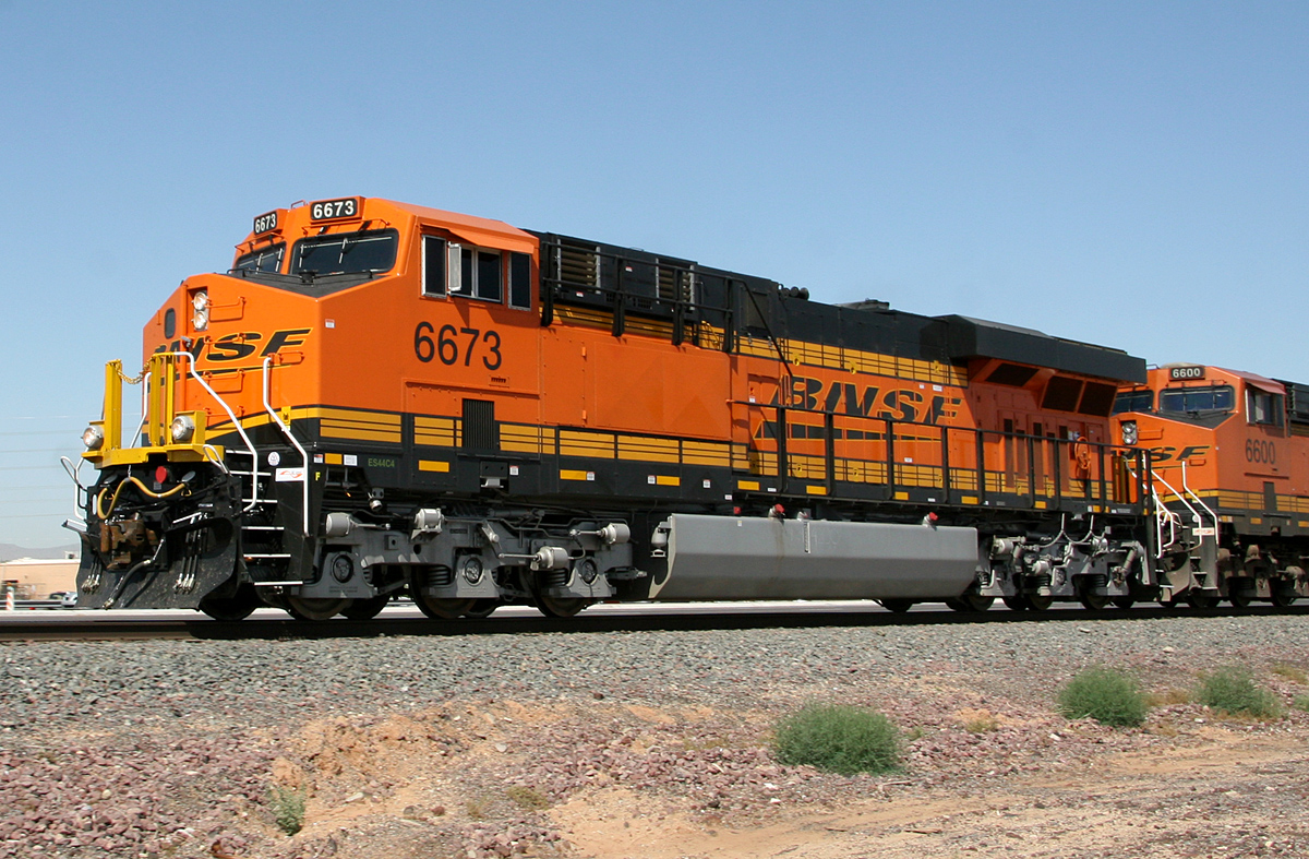
ES44C4 6673
Surprise
06 May 11
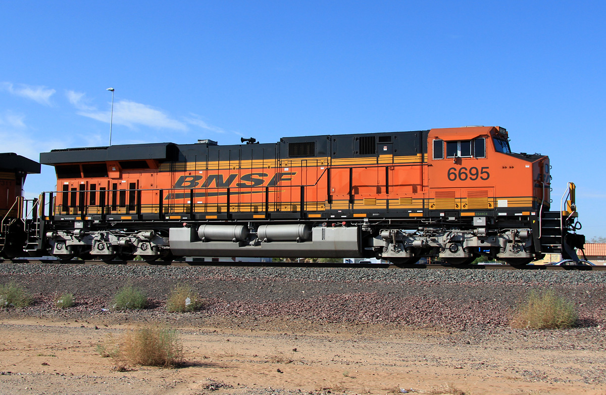
ES44C4 6695
El Mirage
23 Aug 11
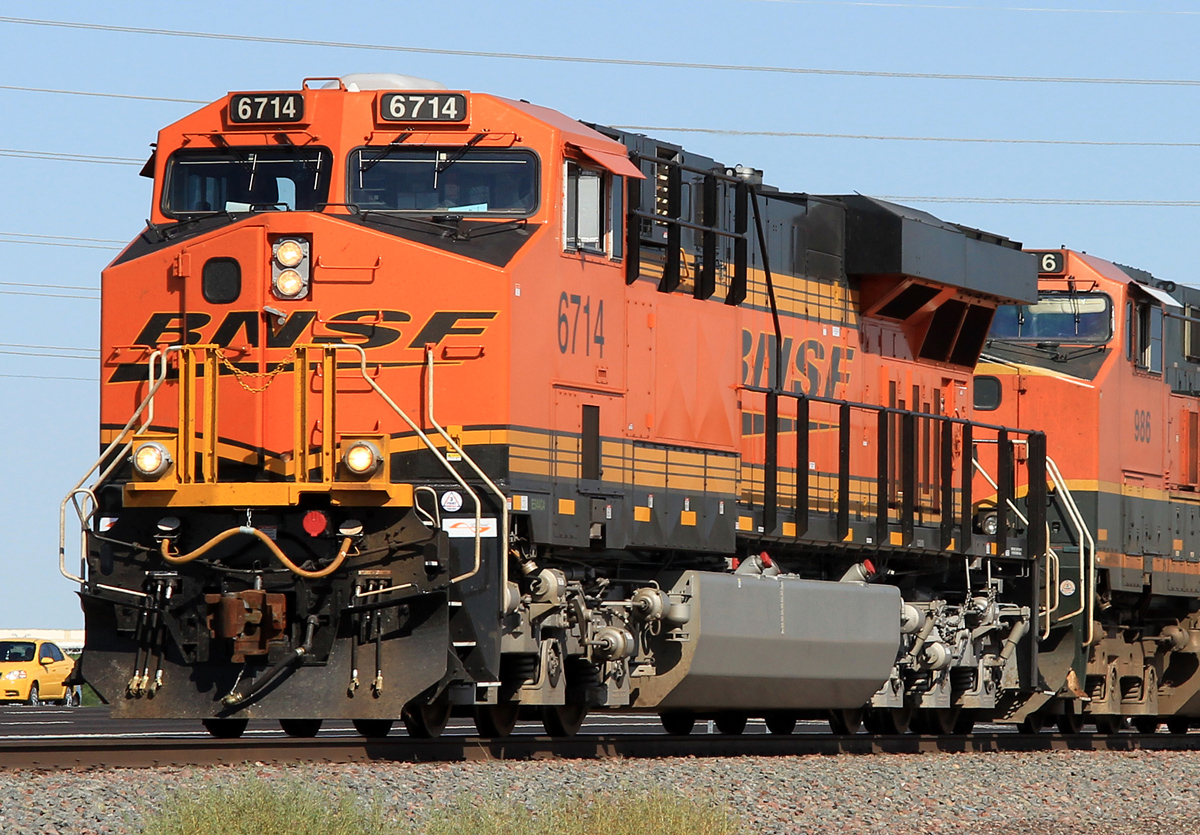
ES44C4 6714
Surprise
04 Aug 11
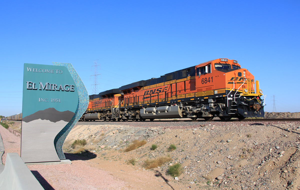
ES44C4 6841
El Mirage
02 Feb 12
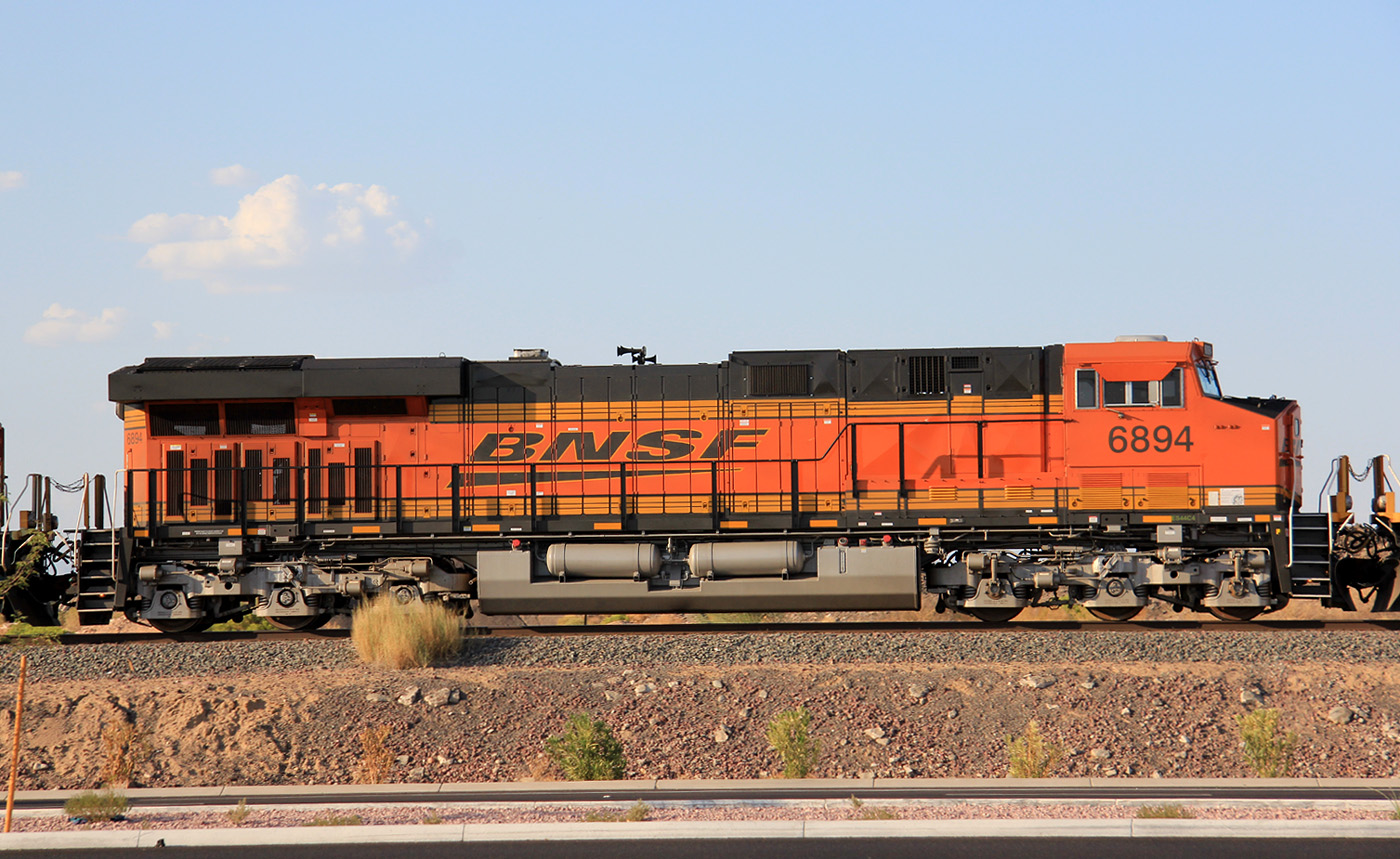
ES44C4 6894
El Mirage
01 Sep 11
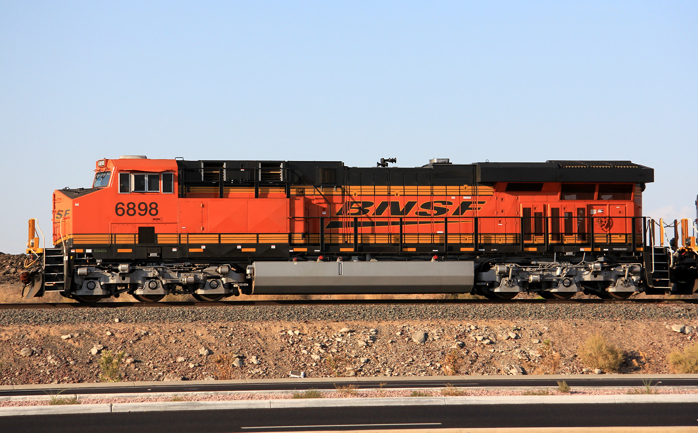
ES44C4 6898
El Mirage
01 Sep 11
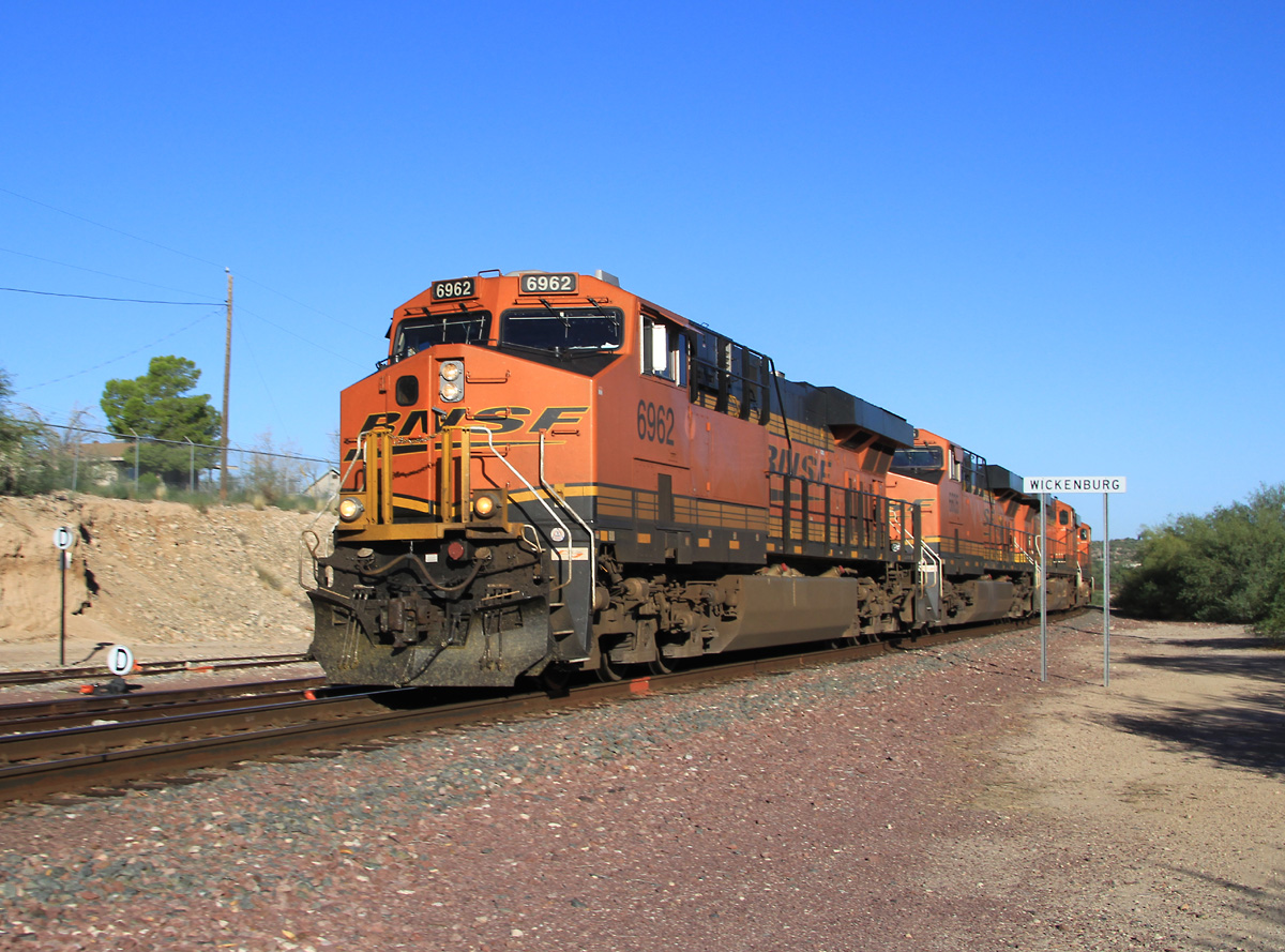
ES44C4 6962
Wickenburg
25 Sep 13
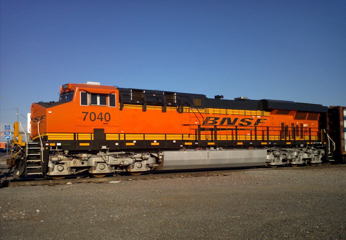
ES44C4 7040
Mobest
05 Aug 12
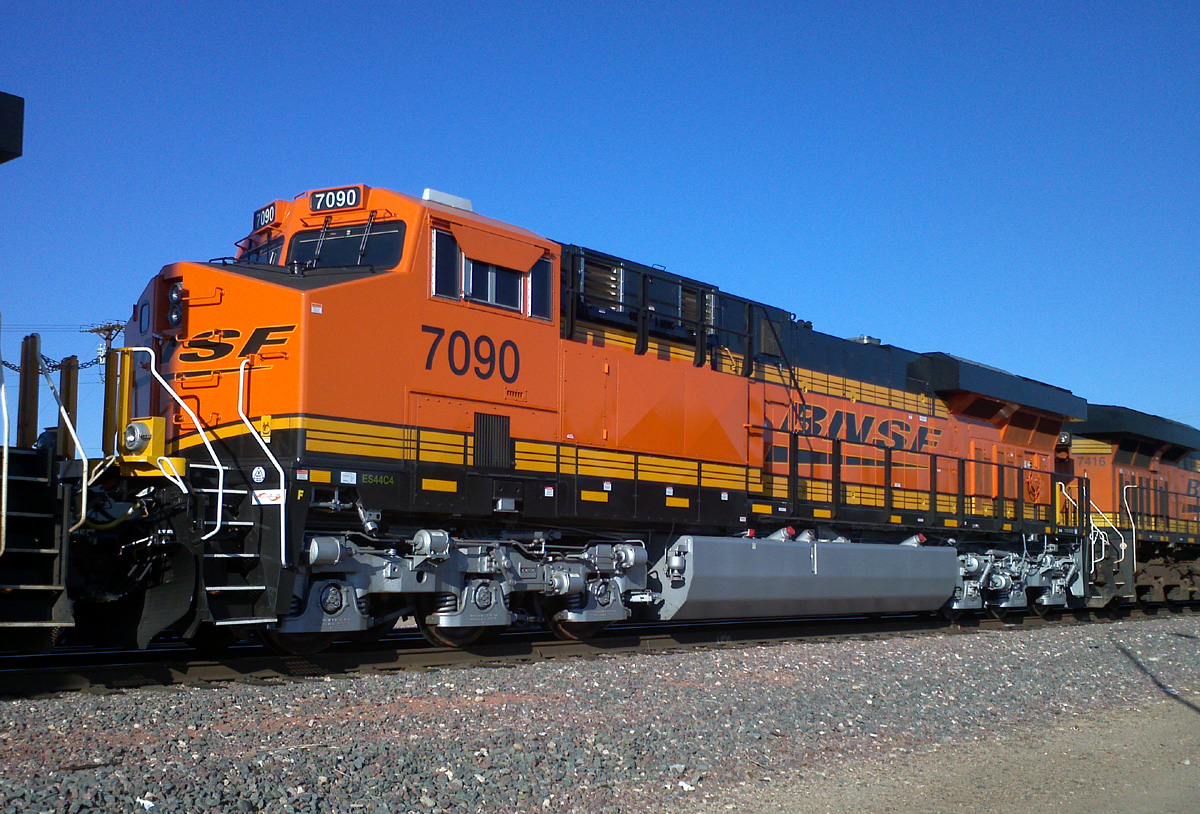
ES44C4 7090
Glendale
29 Sep 12
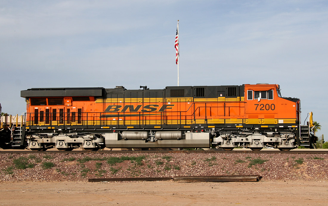
ES44DC 7200
E. Beardsley
19 Mar 09
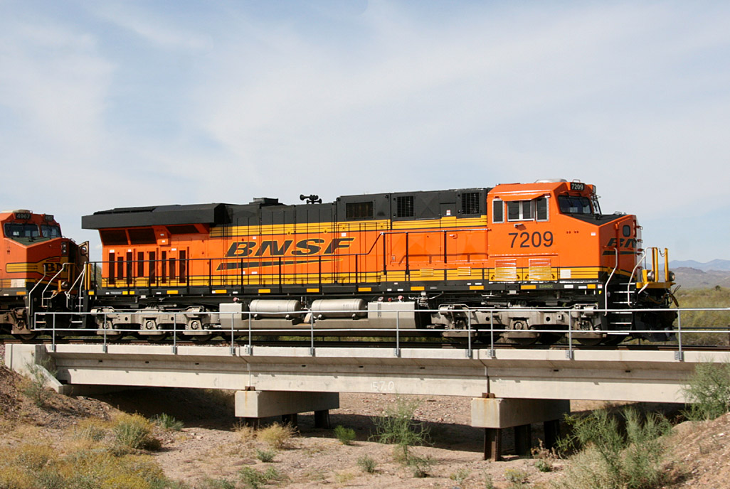
ES44DC 7209
Wittmann
02 May 09
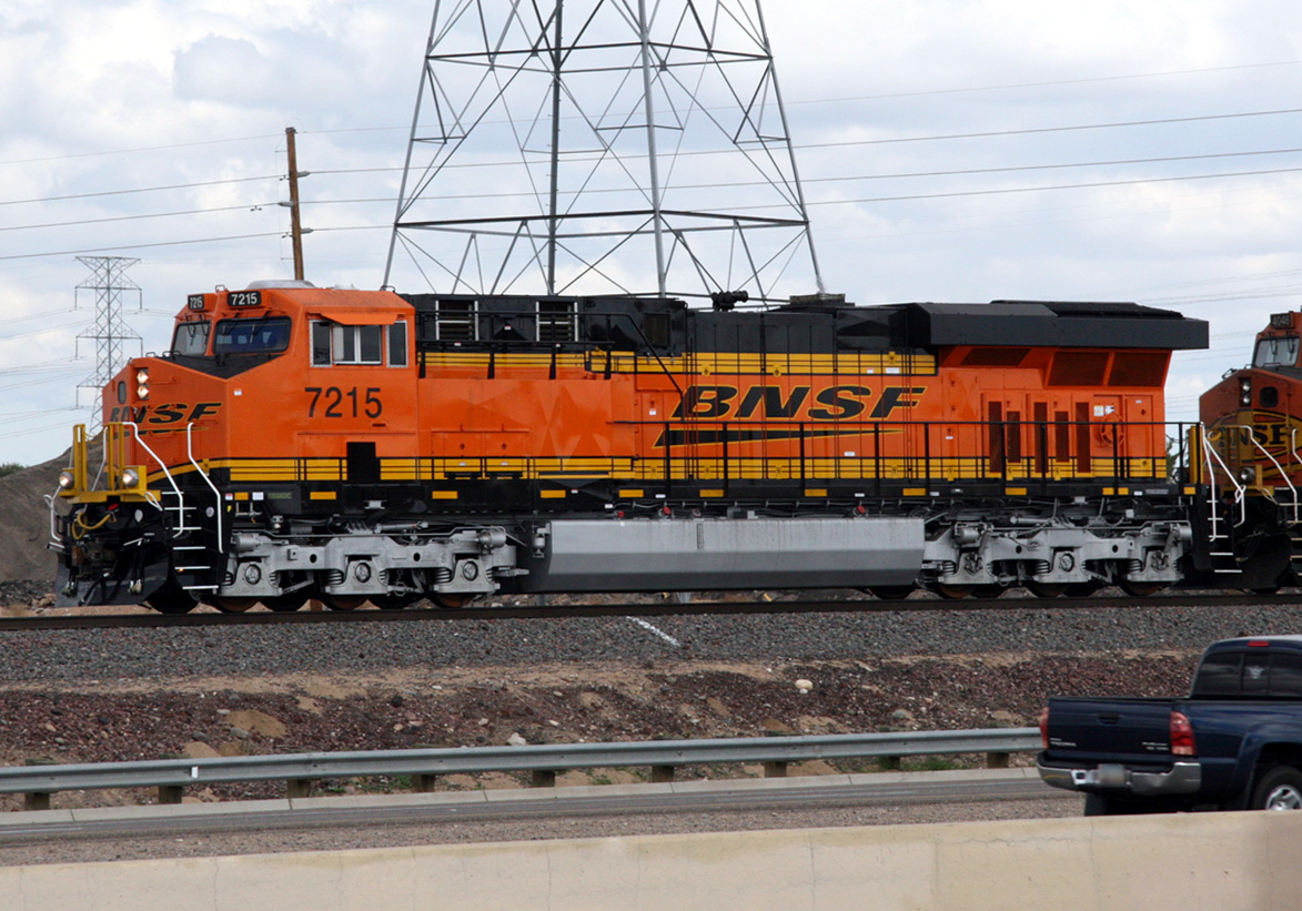
ES44DC 7215
El Mirage
07 Feb 09
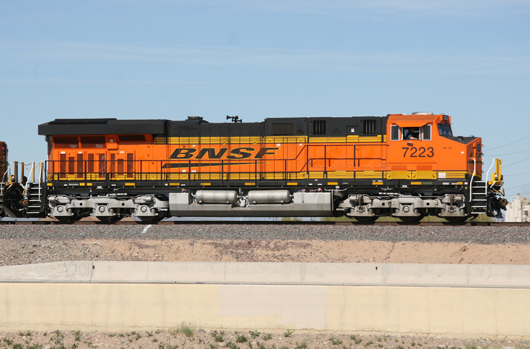
ES44DC 7223
El Mirage
24 Feb 09
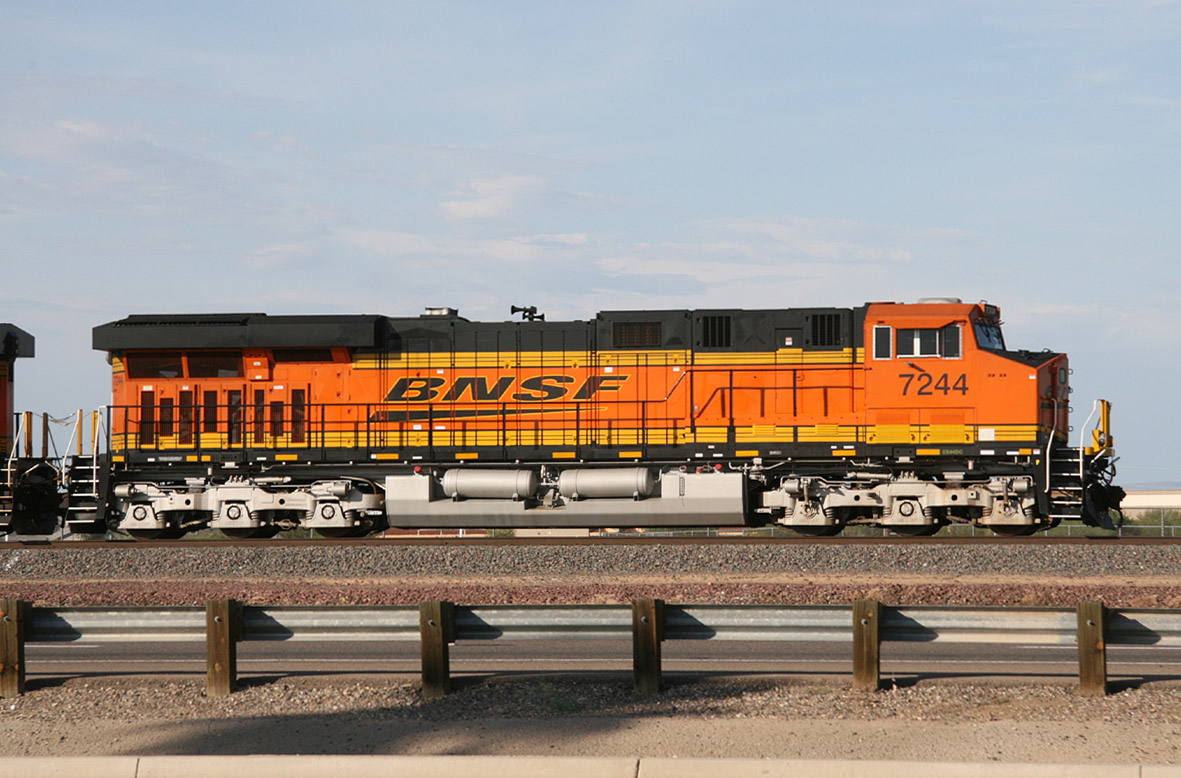
ES44DC 7244
El Mirage
29 Aug 09
ES44DC 7259
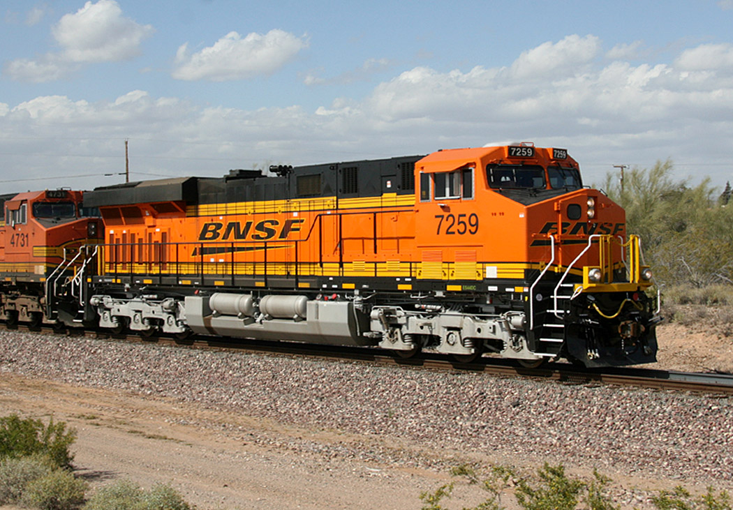
Castle Hot Springs
03 Apr 09
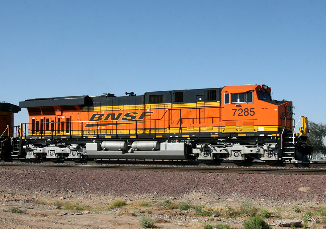
ES44DC 7285
El Mirage
11 May 09
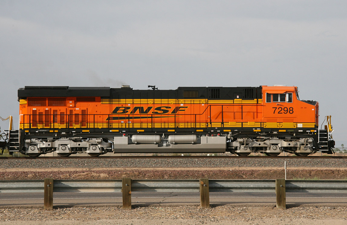
ES44DC 7298
El Mirage
17 May 09
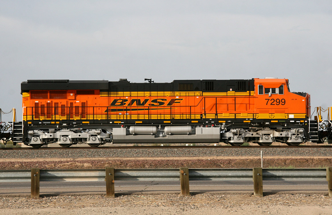
ES44DC 7299
El Mirage
17 May 09
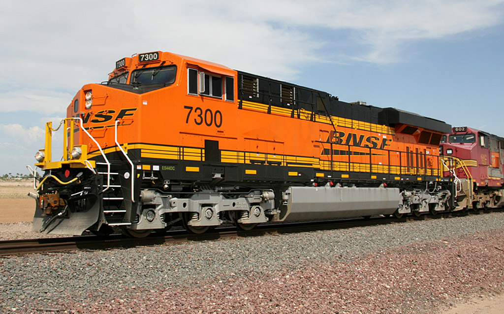
ES44DC 7300
El Mirage
18 May 09
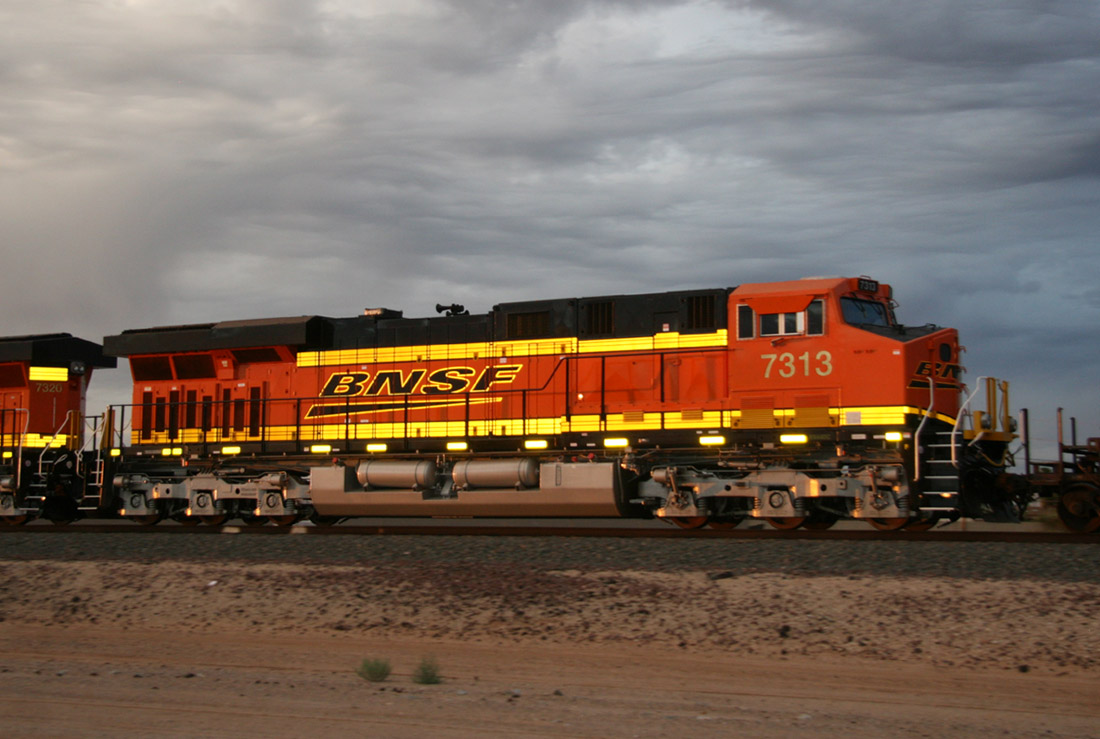
ES44DC 7313
El Mirage
09 Jun 09
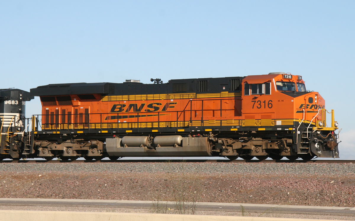
ES44DC 7316
El Mirage
20 Jan 10
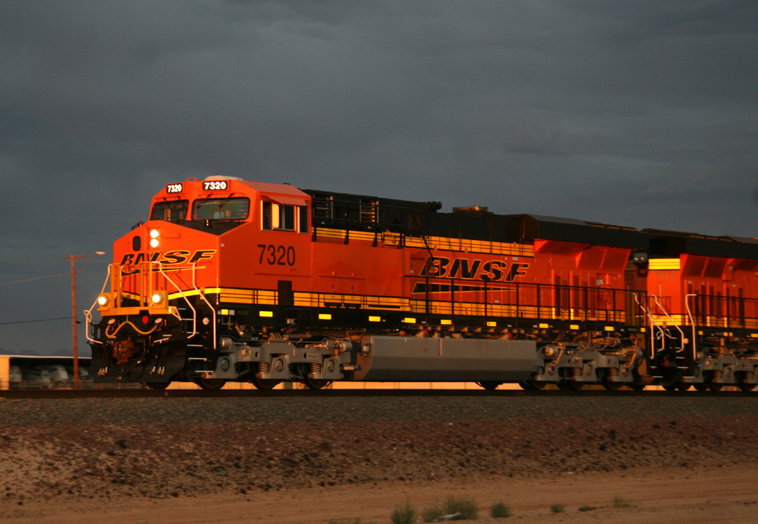
ES44DC 7320
Lizard Acres
09 Jun 09

ES44DC 7335
El Mirage
26 Aug 09
ES44DC 7342
Castle Hot Springs
06 Jan 10
ES44DC 7389
El Mirage
11 Mar 10
ES44DC 7395
Beardlsey
25 Nov 08
ES44DC 7396
Peoria
03 Aug 08
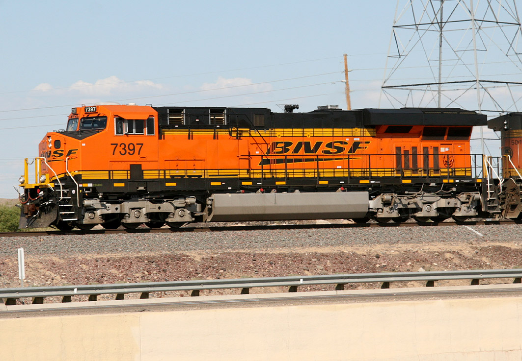
ES44DC 7397
El Mirage
18 Sep 08
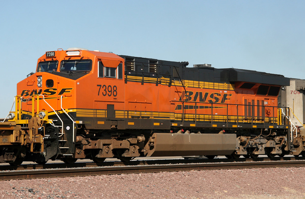
ES44DC 7398
El Mirage
20 Aug 08
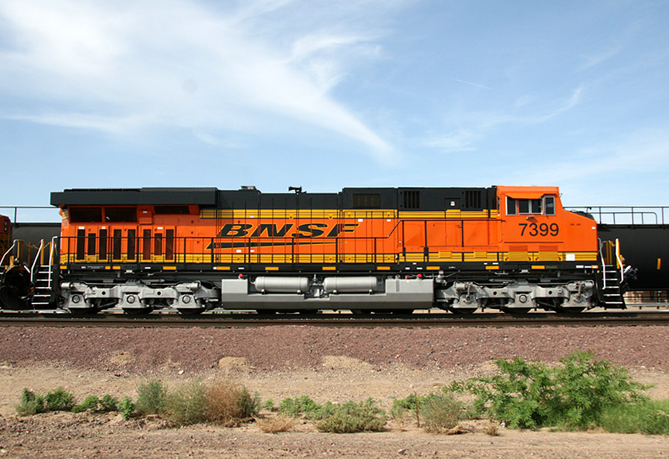
ES44DC 7399
El Mirage
02 Aug 08
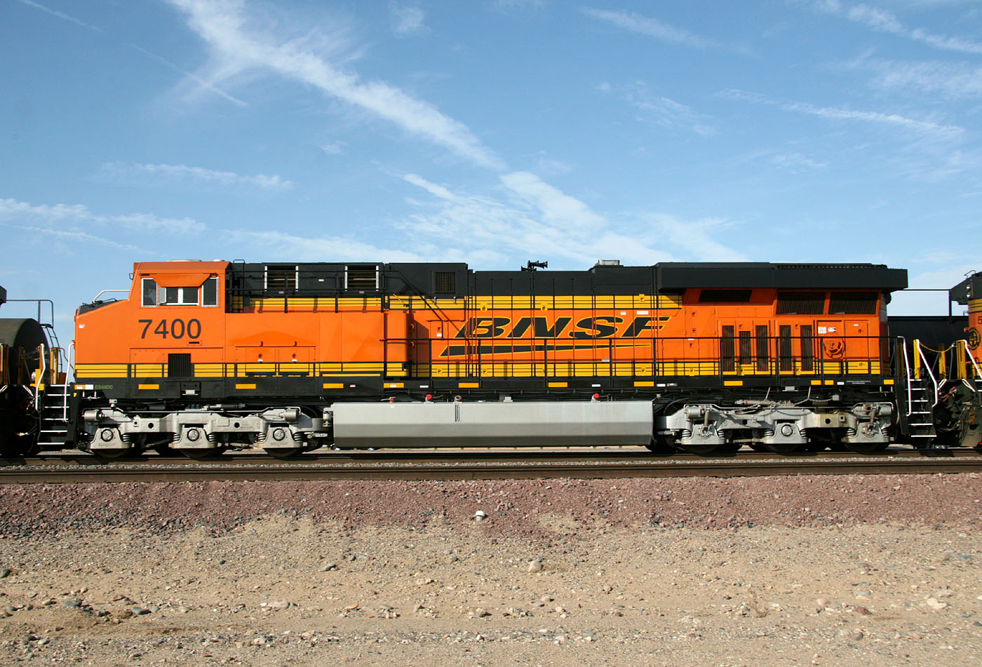
ES44DC 7400
El Mirage
13 Aug 08
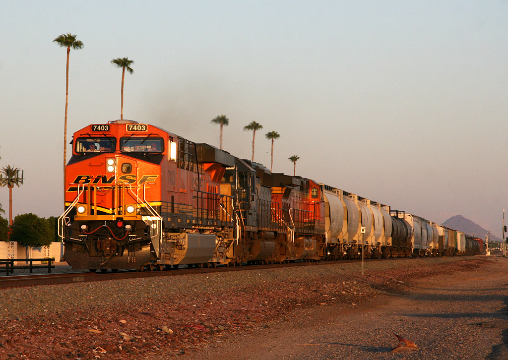
ES44DC 7403
Sun City
14 Sep 08
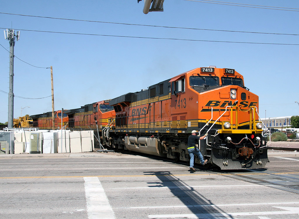
ES44DC 7413
Mobest
14 Sep 08
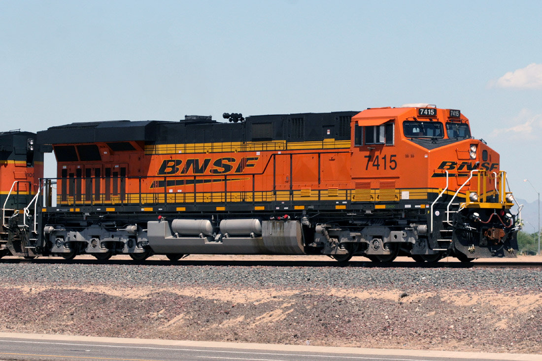
ES44DC 7415
El Mirage
03 Sep 08
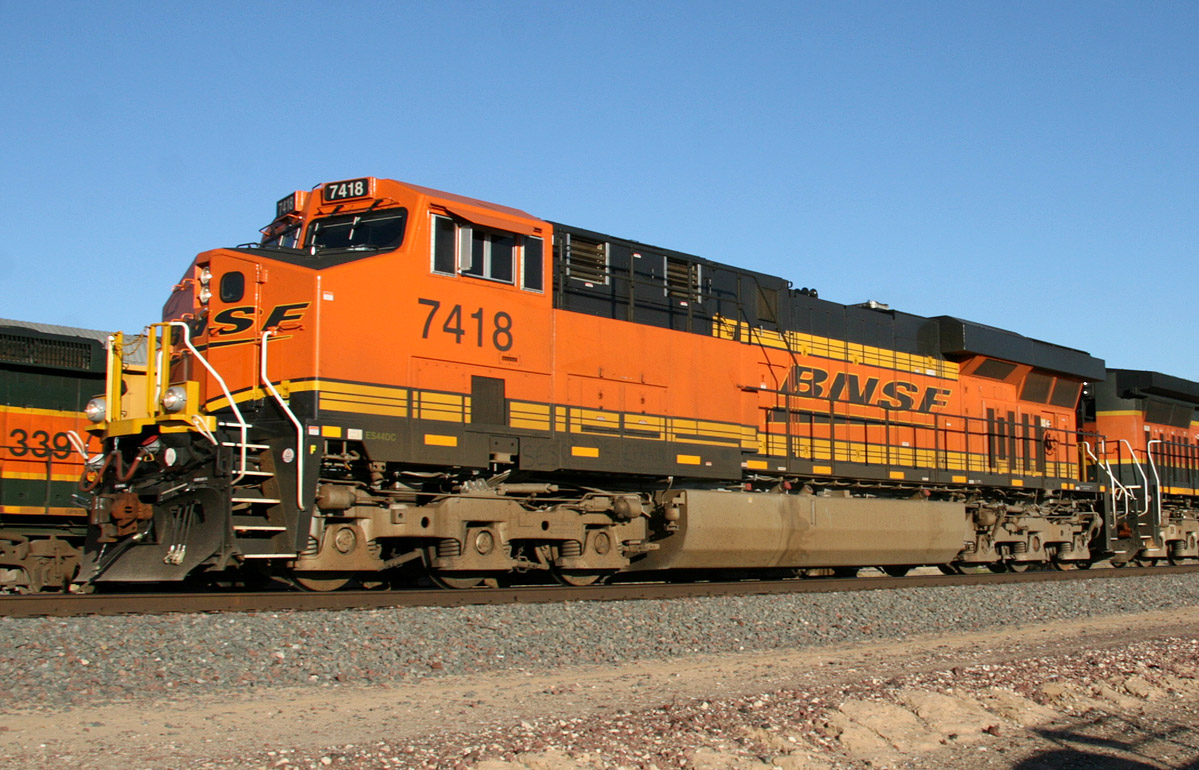
ES44DC 7418
El Mirage
16 Oct 08
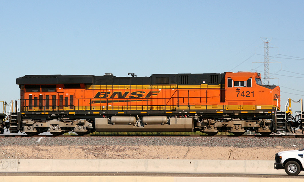
ES44DC 7421
El Mirage
18 Nov 08
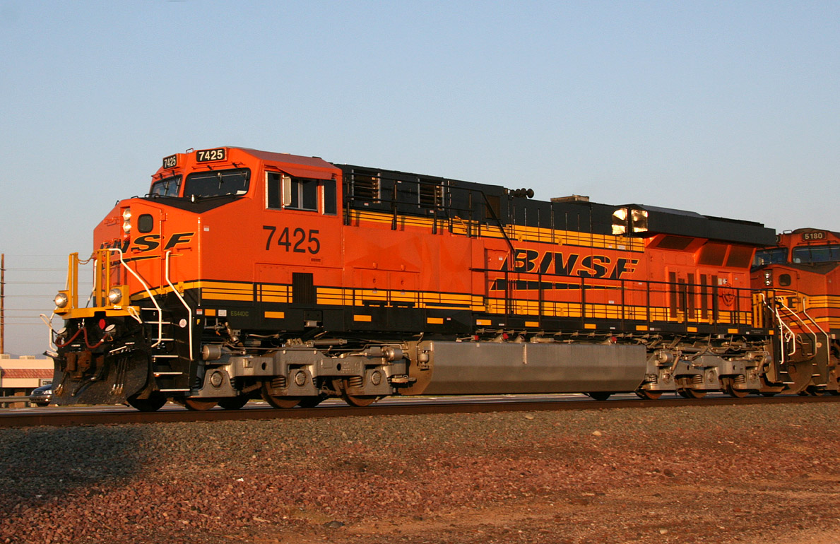
ES44DC 7425
Surprise
01 Oct 08
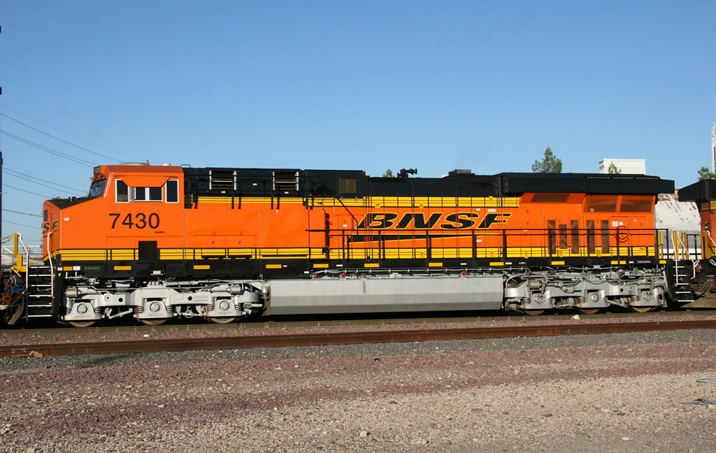
ES44DC 7430
Mobest
22 Sep 08
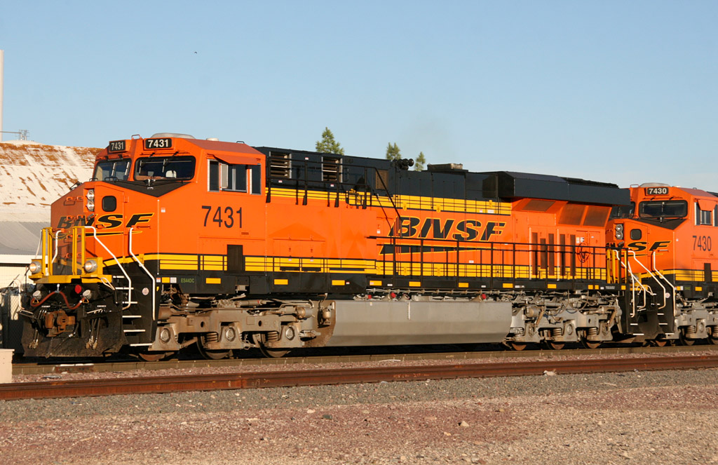
ES44DC 7431
Mobest
22 Sep 08
ES44DC 7443
Beardsley
24 Oct 08
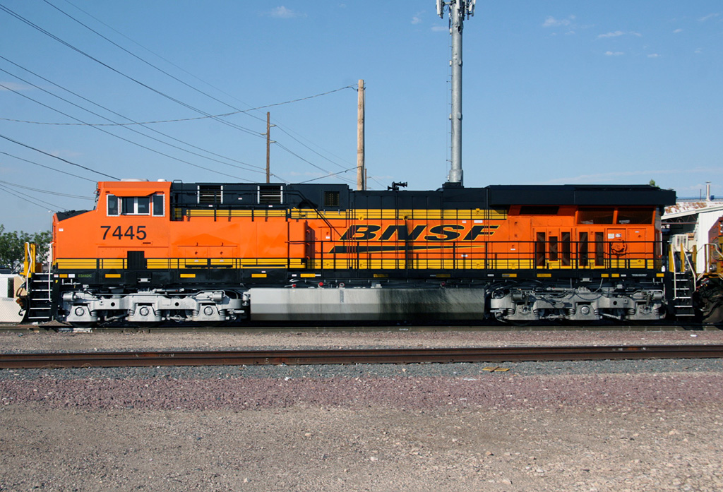
ES44DC 7445
Mobest
28 Sep 08

ES44DC 7446
El Mirage
20 Nov 08
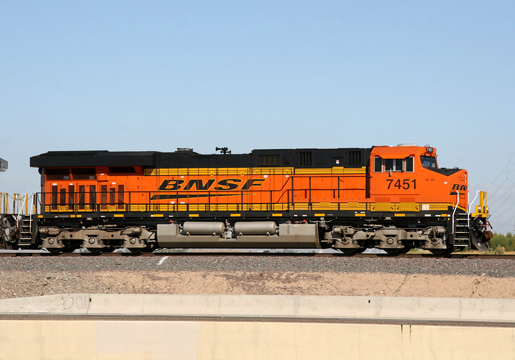
ES44DC 7451
El Mirage
10 Nov 08
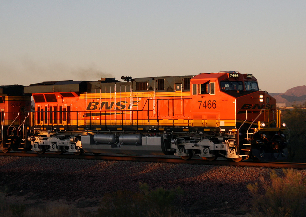
ES44DC 7466
Wittmann
18 Nov 08
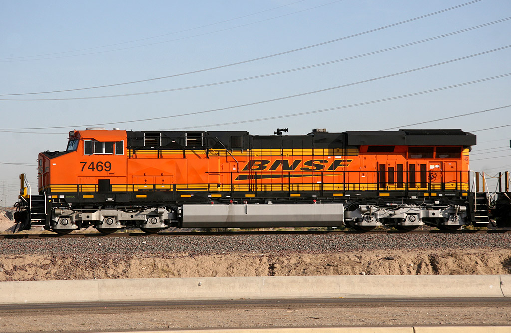
ES44DC 7469
El Mirage
21 Nov 08
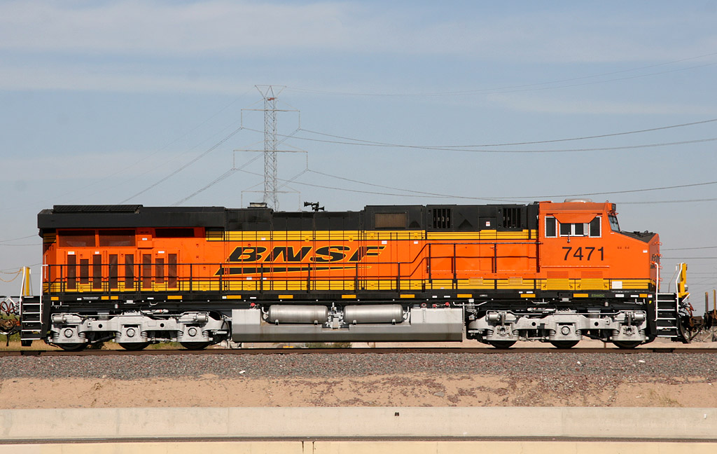
ES44DC 7471
El Mirage
22 Nov 08
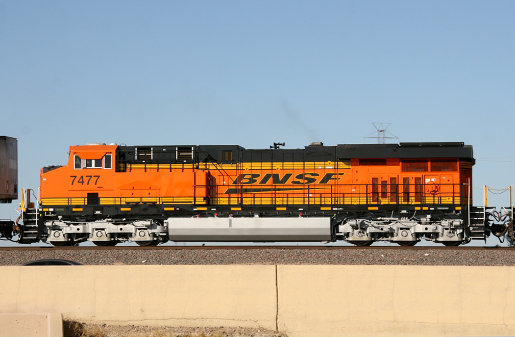
ES44DC 7477
El Mirage
17 Oct 08
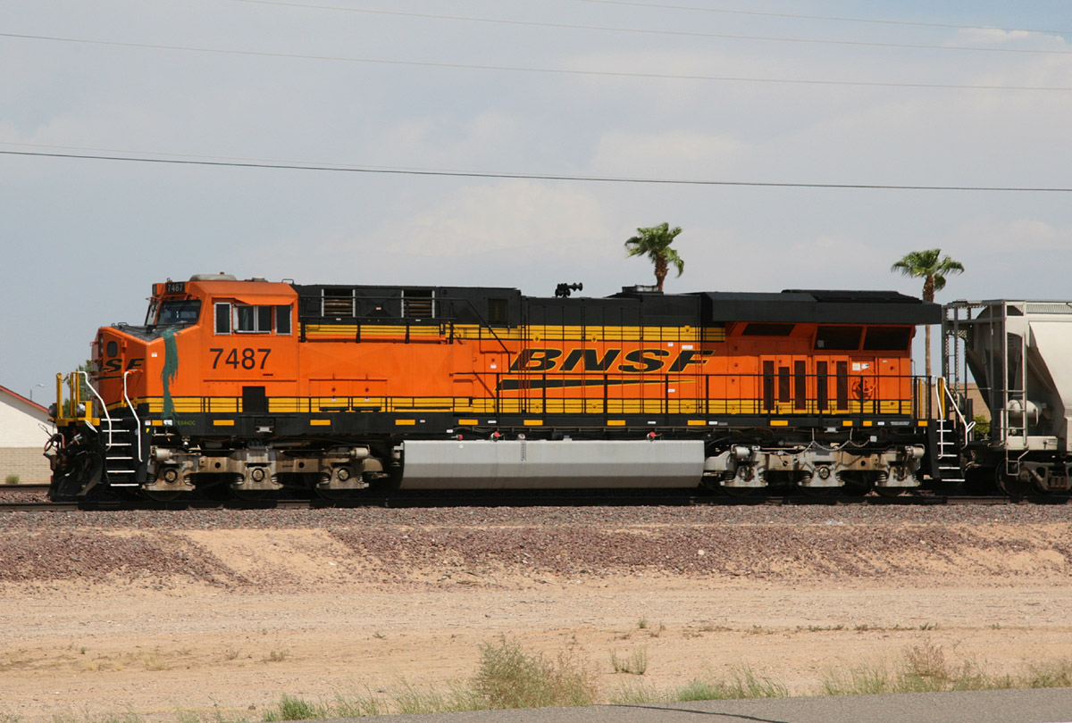
ES44DC 7487
Beardsley
04 Sep 09
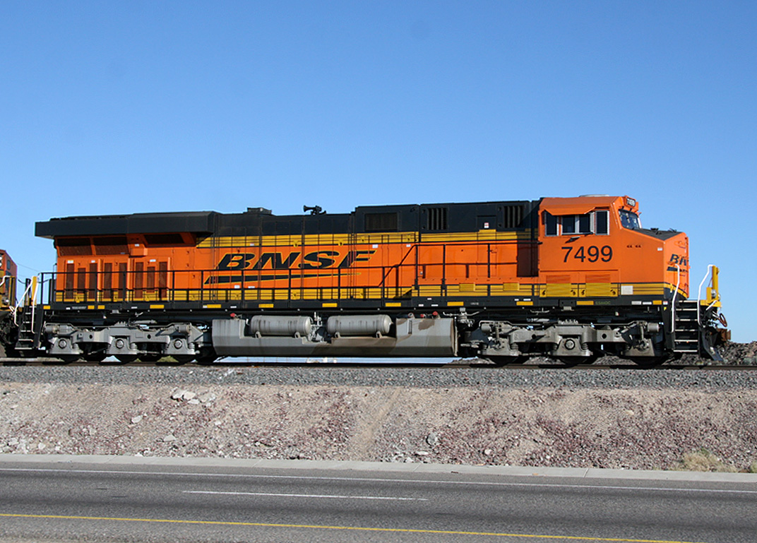
ES44DC 7499
El Mirage
14 Jan 09
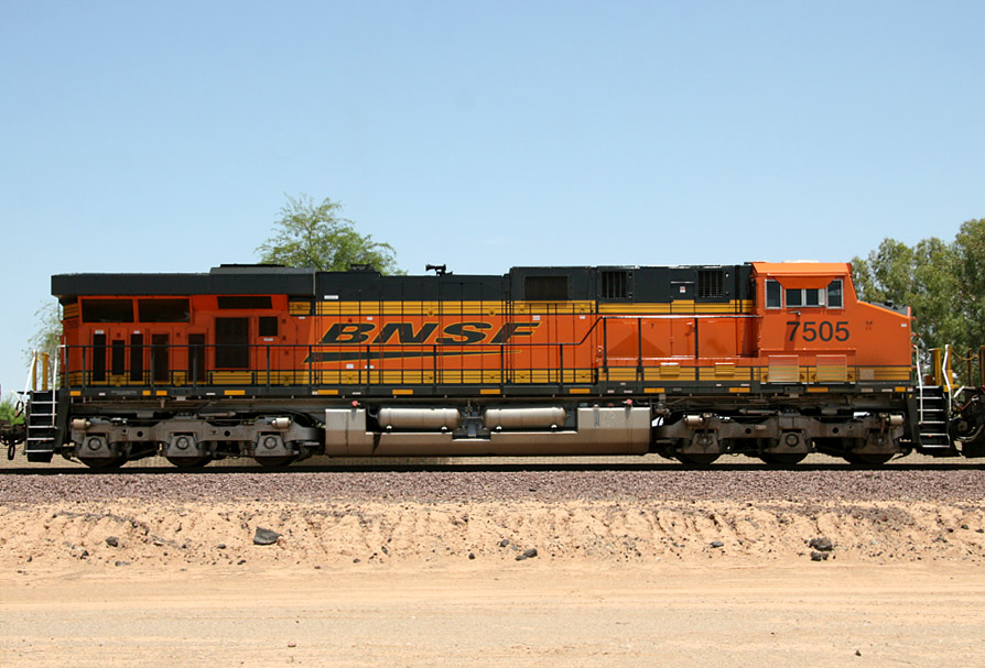
ES44DC 7505
Beardsley
18 Jul 07
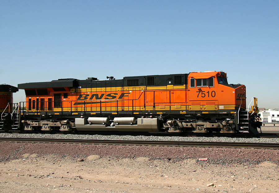
ES44DC 7510
El Mirage
26 Jun 07
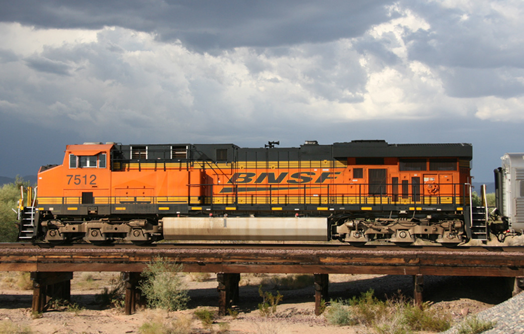
ES44DC 7512
Circle City
14 Aug 08
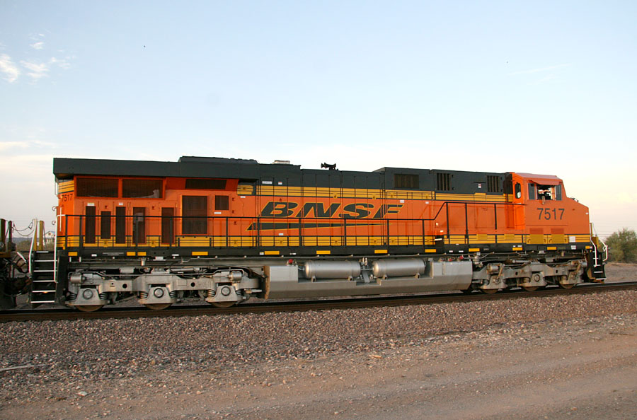
ES44DC 7517
Castle Hot Springs
05 Jul 07
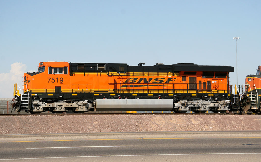
ES44DC 7519
El Mirage
11 Aug 07

ES44DC 7523
El Mirage
21 Sep 07
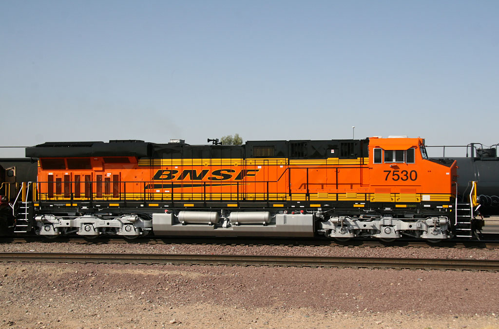
ES44DC 7530
El Mirage
22 May 07
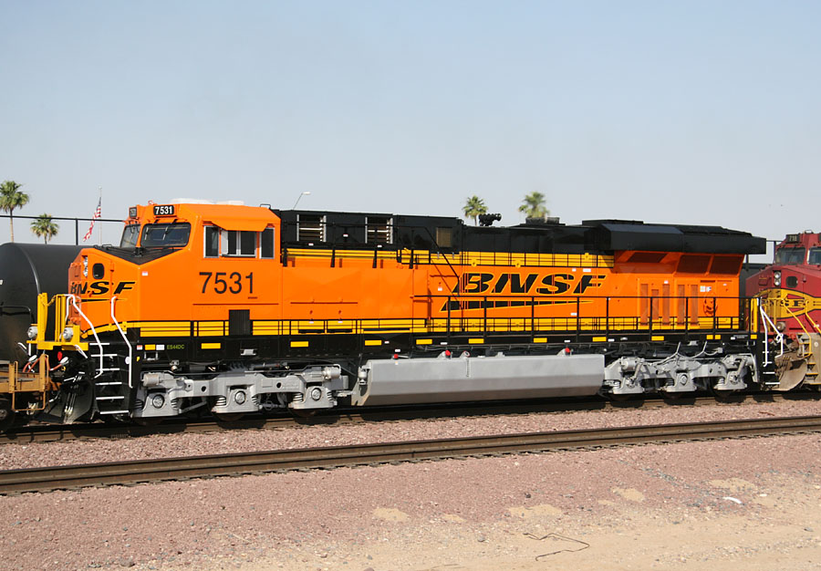
ES44DC 7531
El Mirage
22 May 07
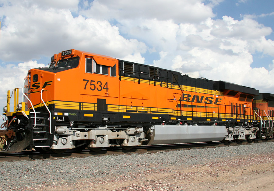
ES44DC 7534
El Mirage
16 Sep 07
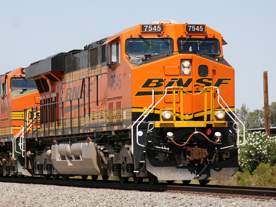
ES44DC 7545
Peoria
21 Aug 07
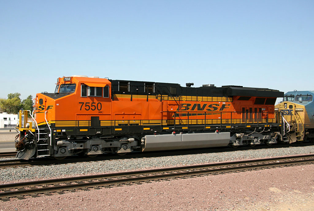
ES44DC 7550
El Mirage
16 Aug 07

ES44DC 7551
El Mirage
13 Oct 07
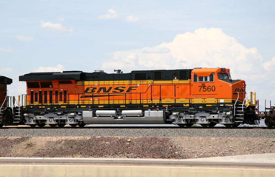
ES44DC 7560
El Mirage
12 Aug 07
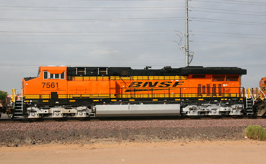
ES44DC 7561
Beardsley
26 Jul 07
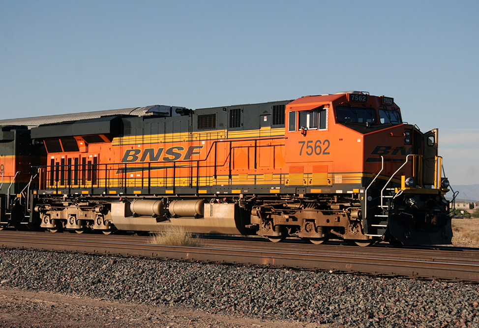
ES44DC 7562
El Mirage
16 Oct 08
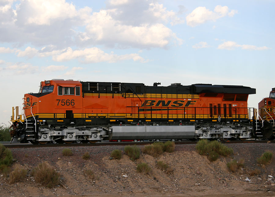
ES44DC 7566
El Mirage
13 Aug 07
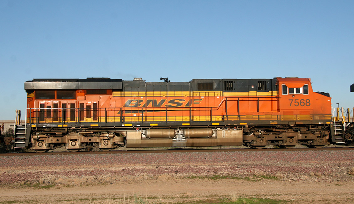
ES44DC 7568
Surprise
1 Jan 09
ES44DC 7570
El Mirage
19 Sep 07
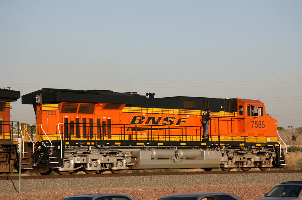
ES44DC 7585
El Mirage
16 Nov 07
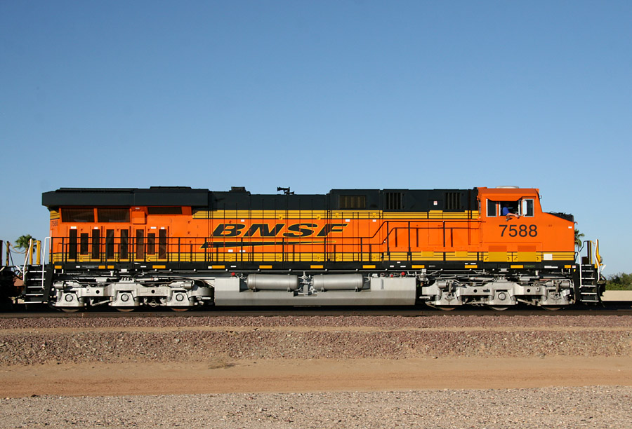
ES44DC 7588
Beardsley
26 Sep 07
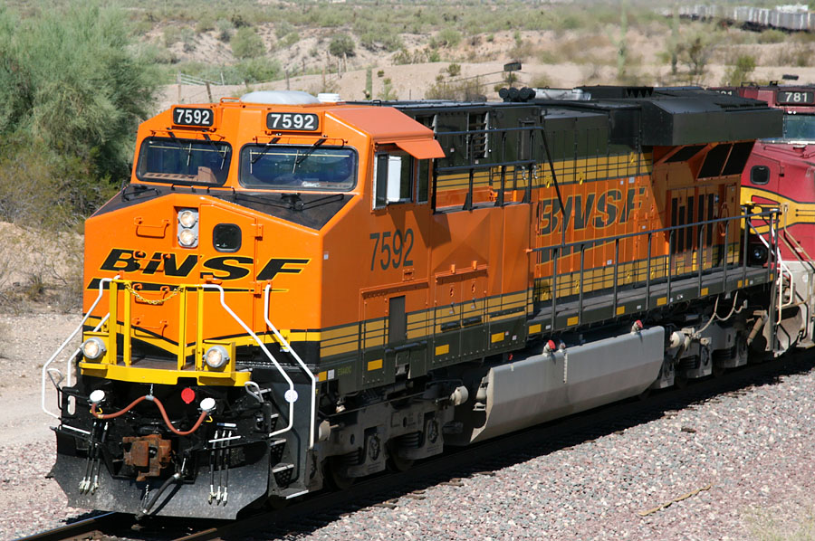
ES44DC 7592
Castle Hot Springs
20 Sep 07
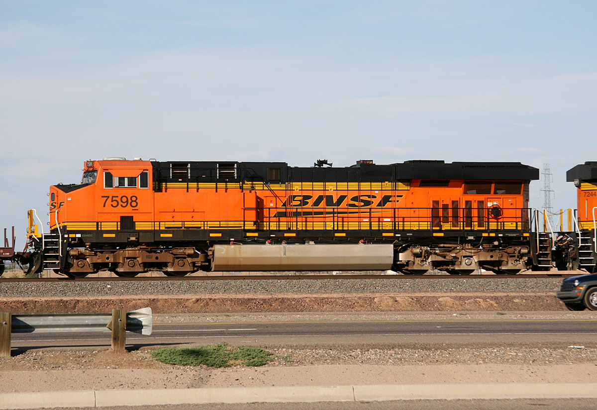
ES44DC 7598
El Mirage
29 Aug 09
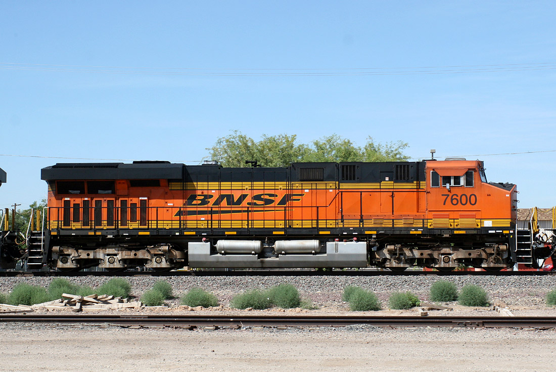
ES44DC 7600
Peoria
04 Jun 10
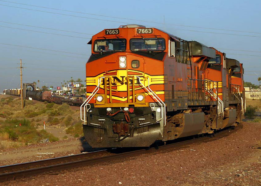
ES44DC 7663
El Mirage
06 Jul 05
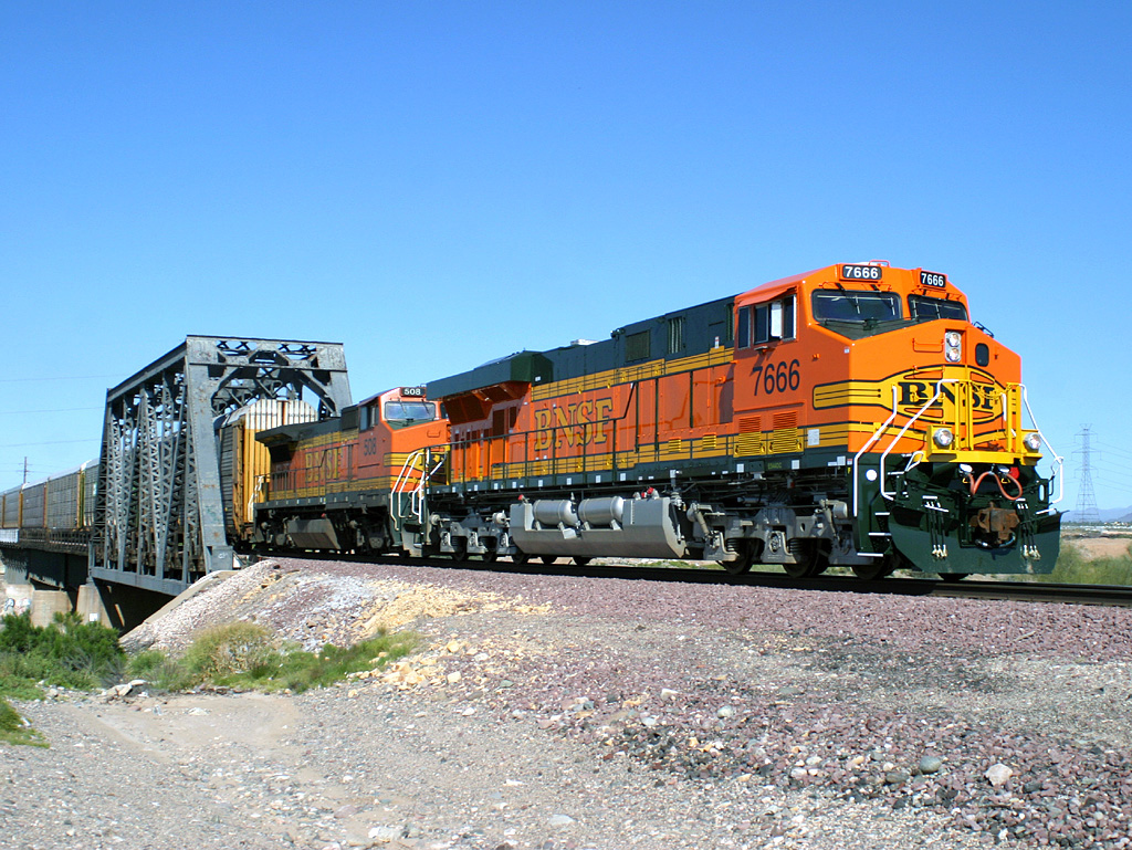
ES44DC 7666
El Mirage
15 Mar 05
ES44DC 7682
Mobest
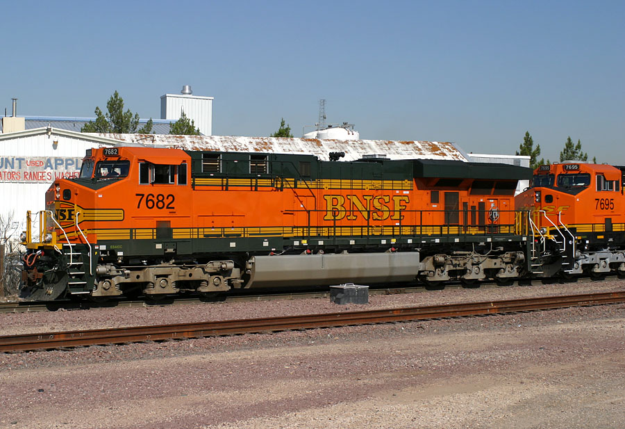
06 Jul 05
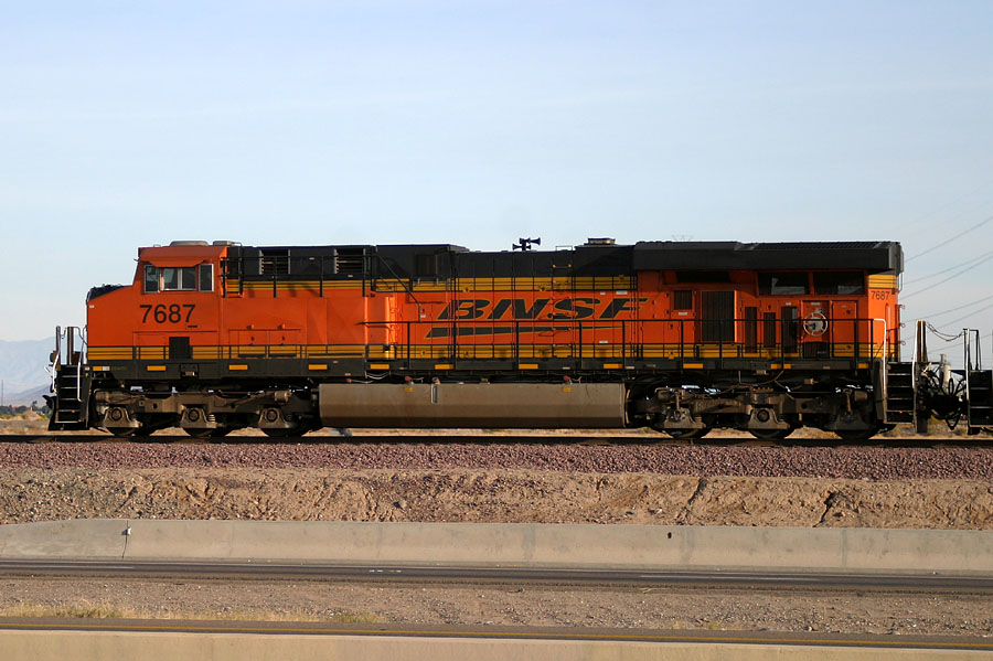
ES44DC 7687
El Mirage
29 Jan 06
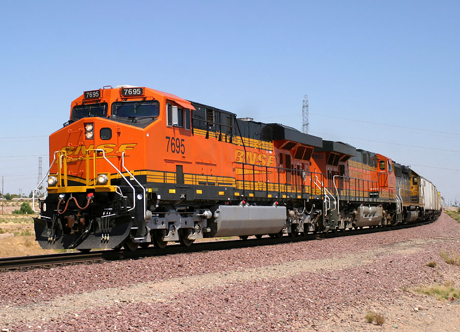
ES44DC 7695
El Mirage
06 Jul 05
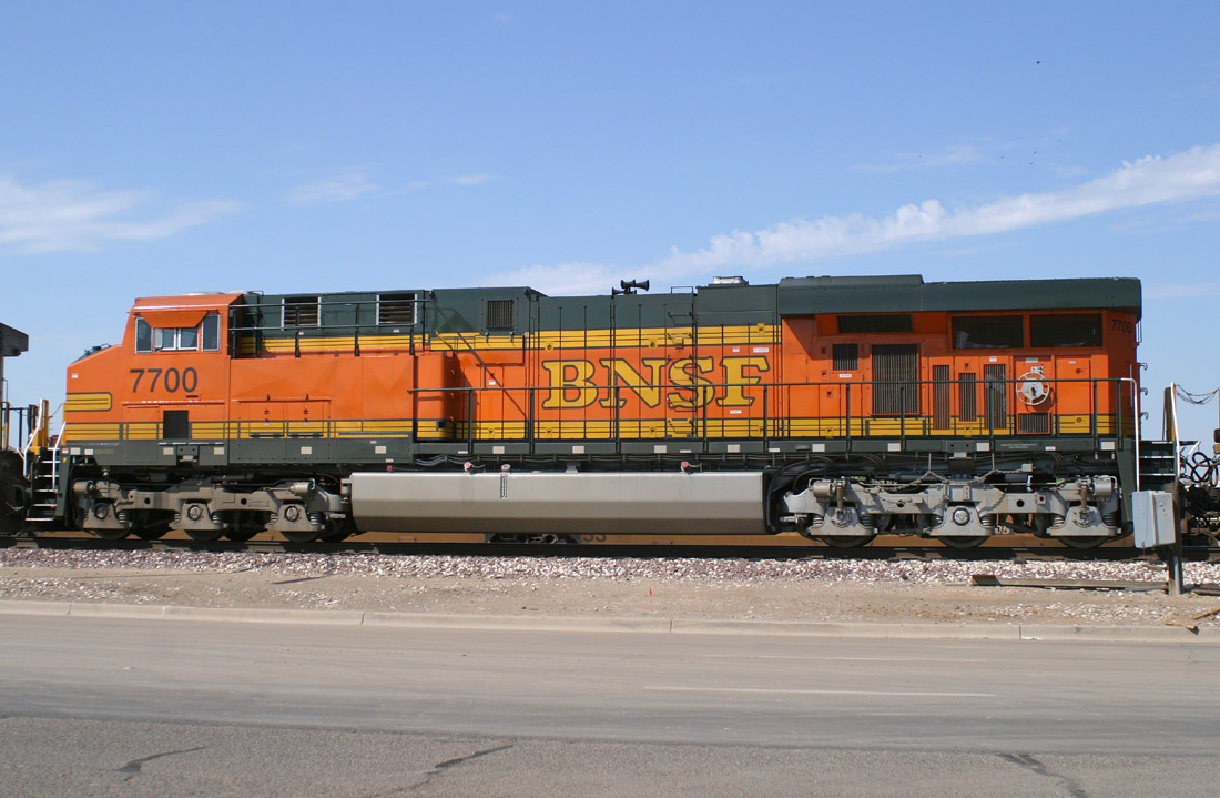
ES44DC 7700
Glendale
25 Jun 05
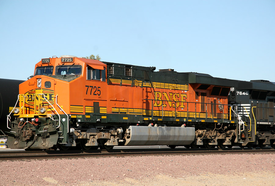
ES44DC 7725
El Mirage
24 Sep 07
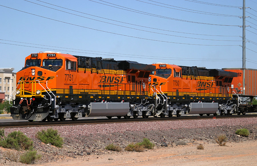
ES44DC 7751
Beardsley
15 Jun 05
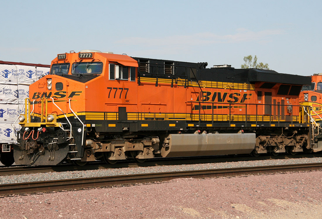
ES44DC 7777
El Mirage
27 Aug 08
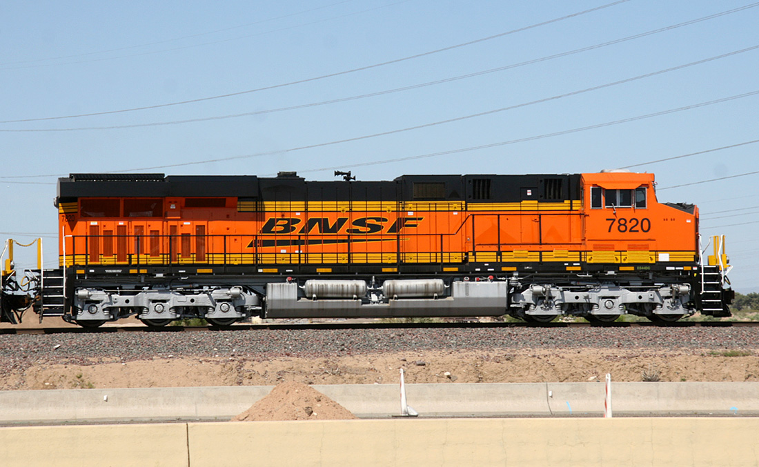
ES44DC 7820
El Mirage
05 Apr 10
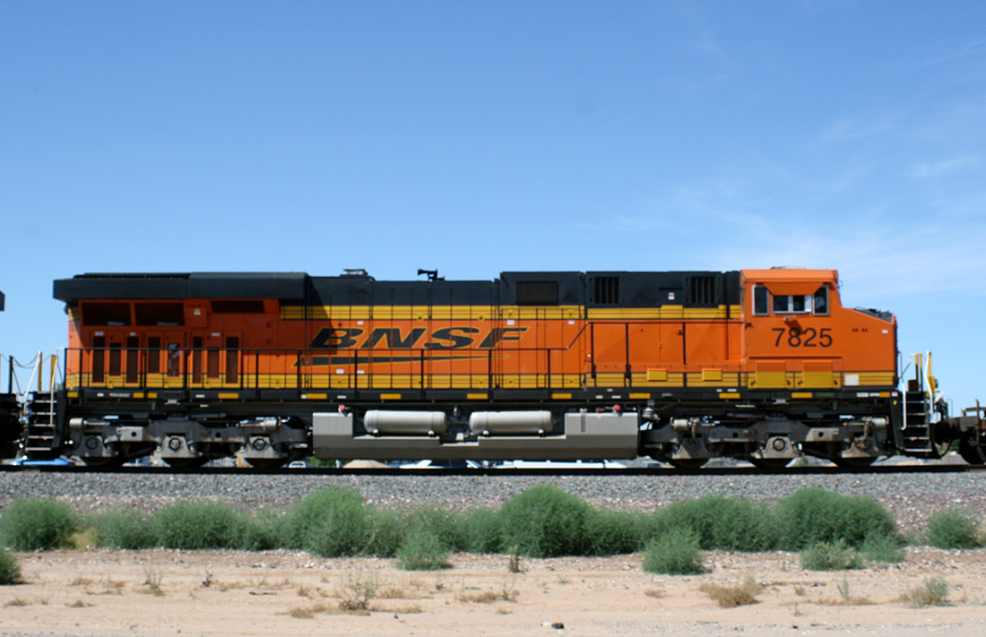
ES44DC 7825
Surprise
28 May 10
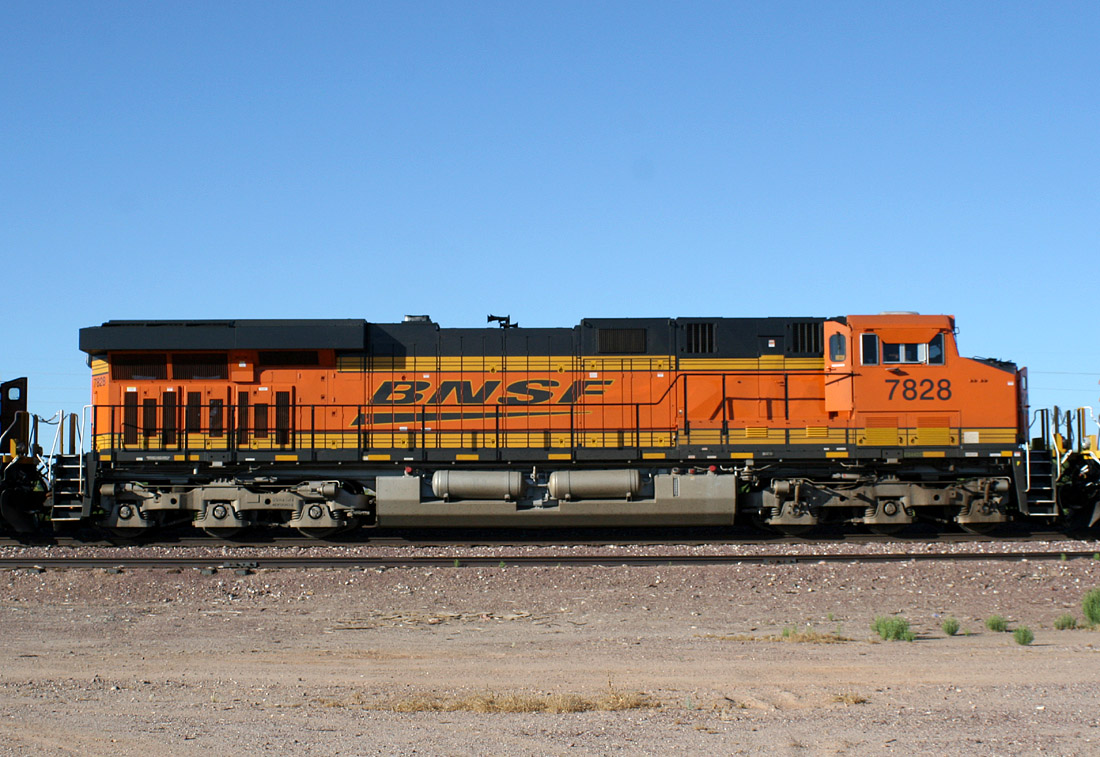
ES44DC 7828
Castle Hot Springs
08 Jun 10
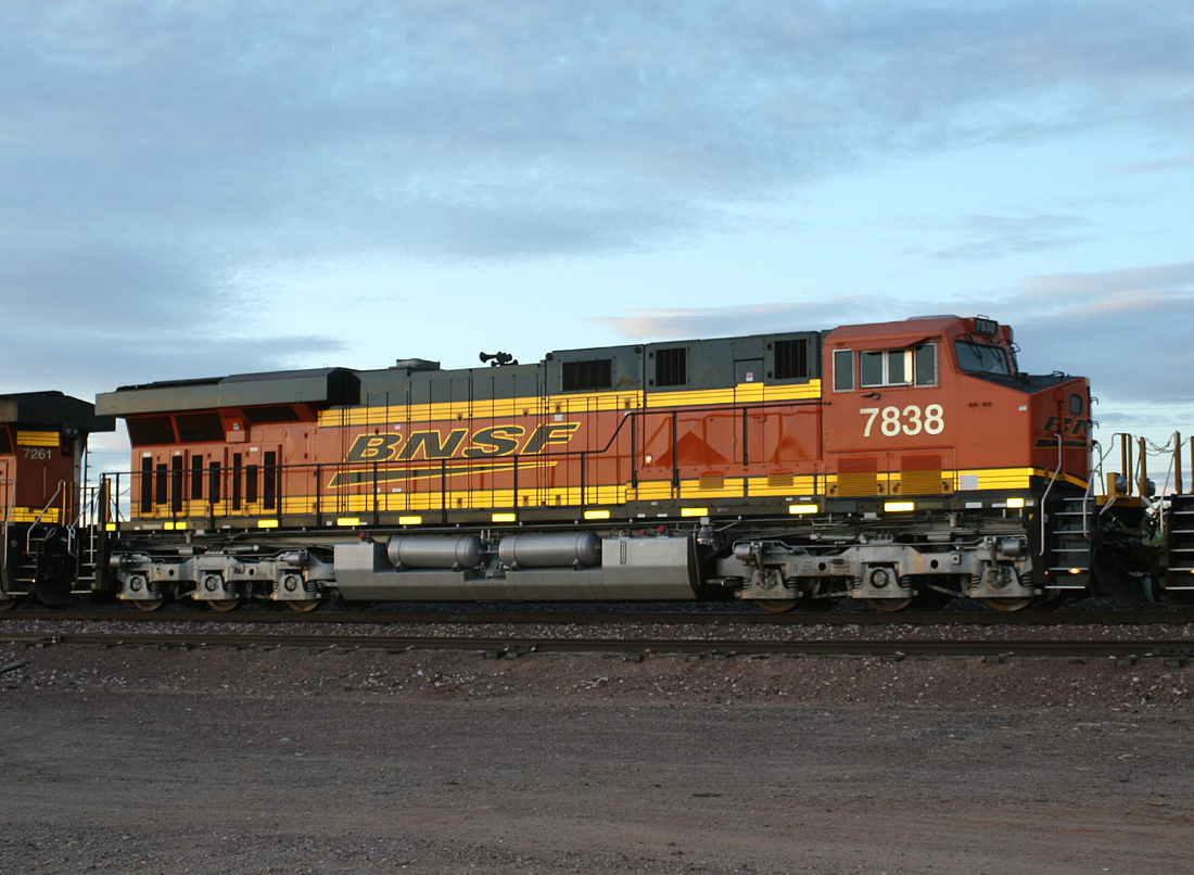
ES44DC 7838
Castle Hot Springs
01 Jun 10
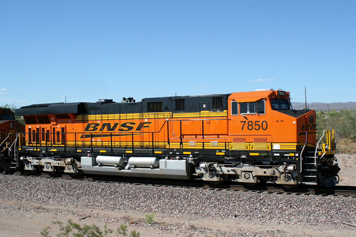
ES44DC 7850
Castle Hot Springs
14 Jun 10
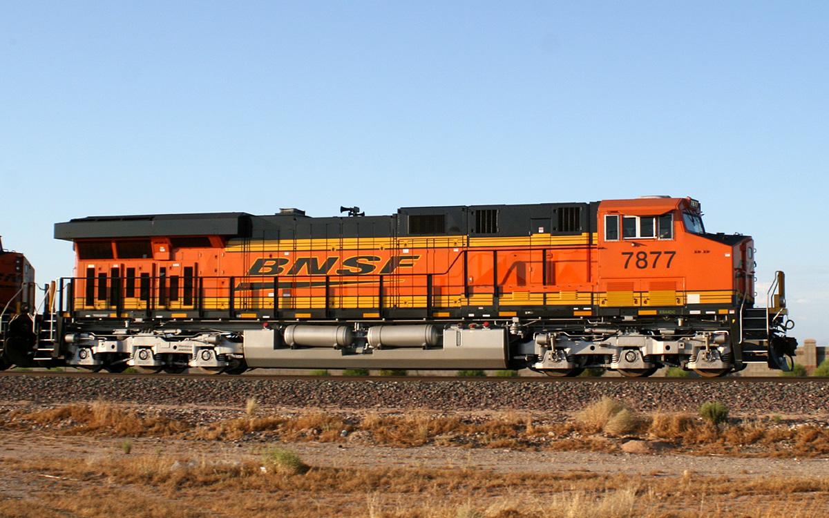
ES44DC 7877
Surprise
12 Jul 10
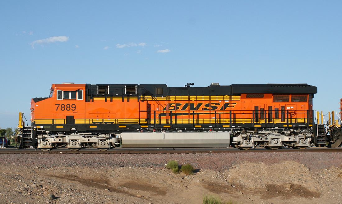
ES44DC 7889
El Mirage
25 Jul 10
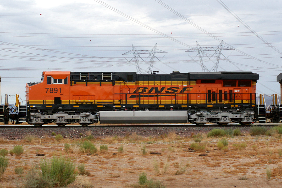
ES44DC 7891
Surprise
23 Jul 10
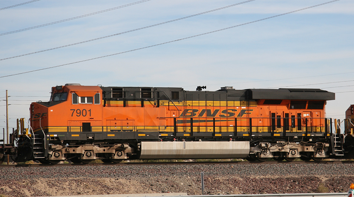
ES44DC 7901
El Mirage
03 Dec 10
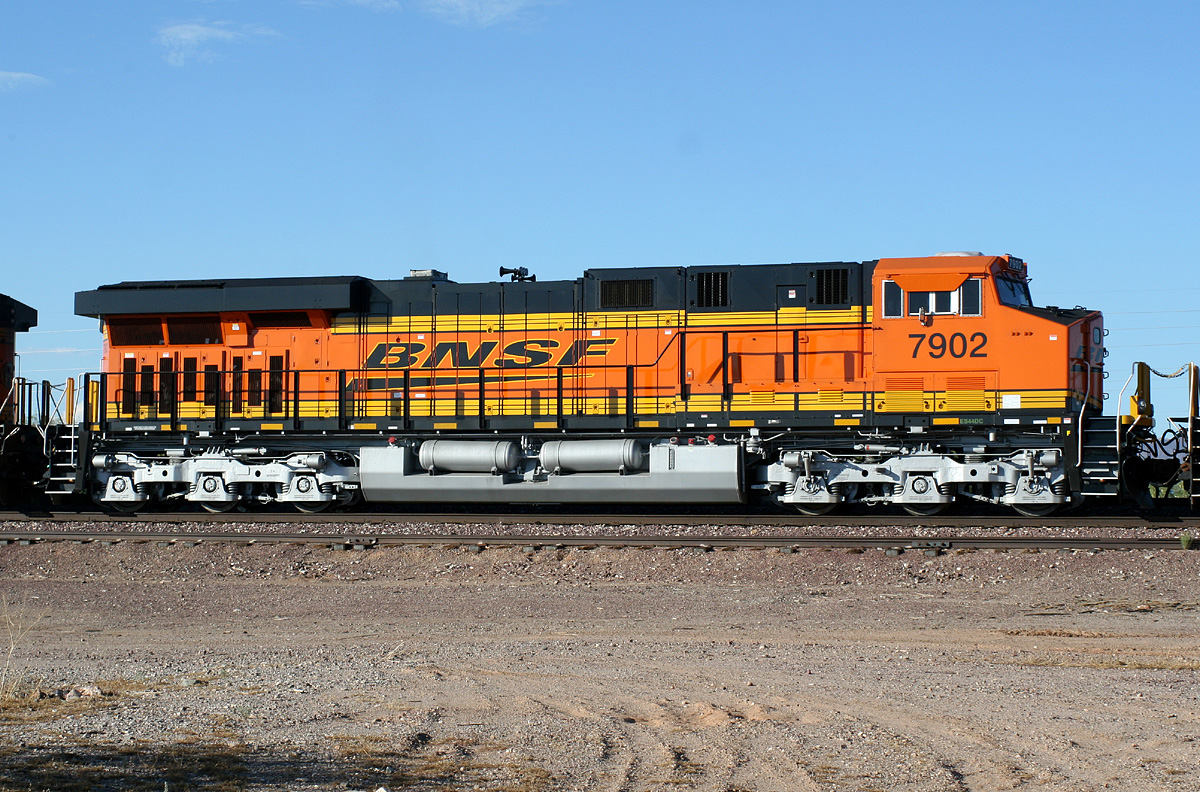
ES44DC 7902
Castle Hot Springs
04 Aug 10
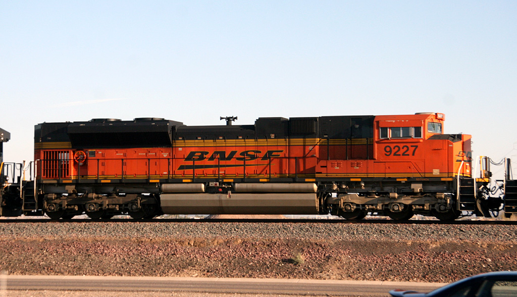
SD70ACe 9227
El Mirage
09 Feb 10
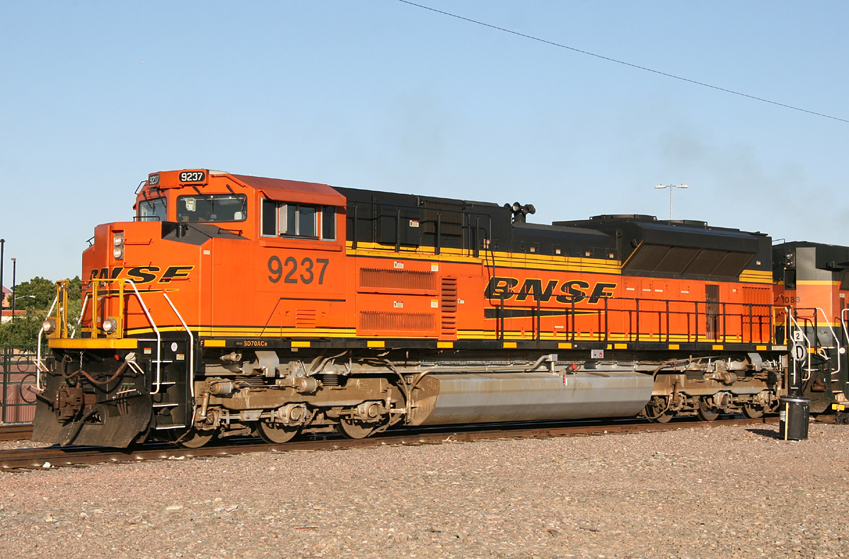
SD70ACe 9237
Glendale
02 May 11
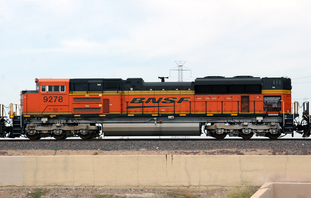
SD70ACe 9278
El Mirage
03 Oct 08
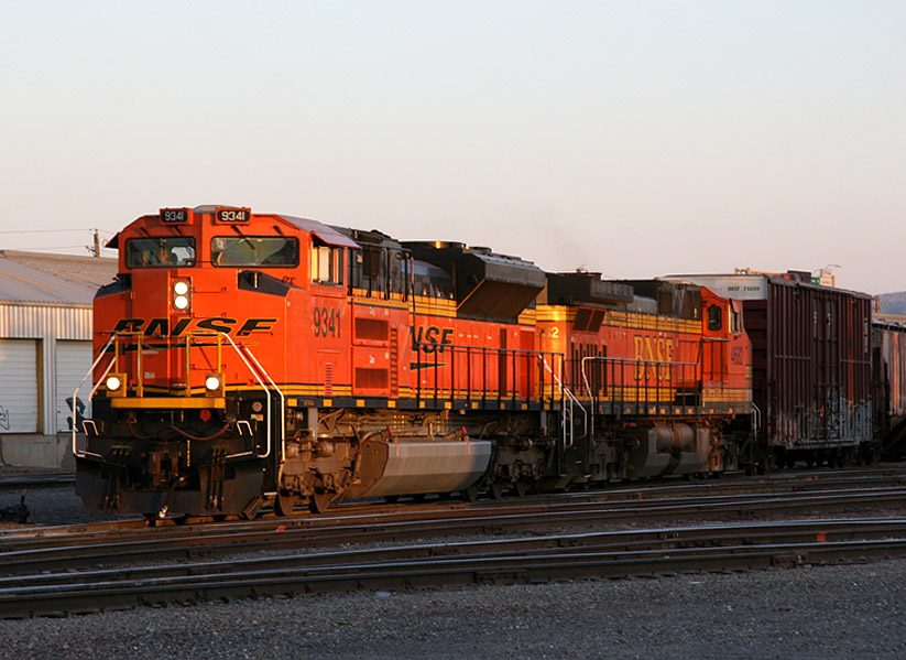
SD70ACe 9341
Mobest
22 Jun 08
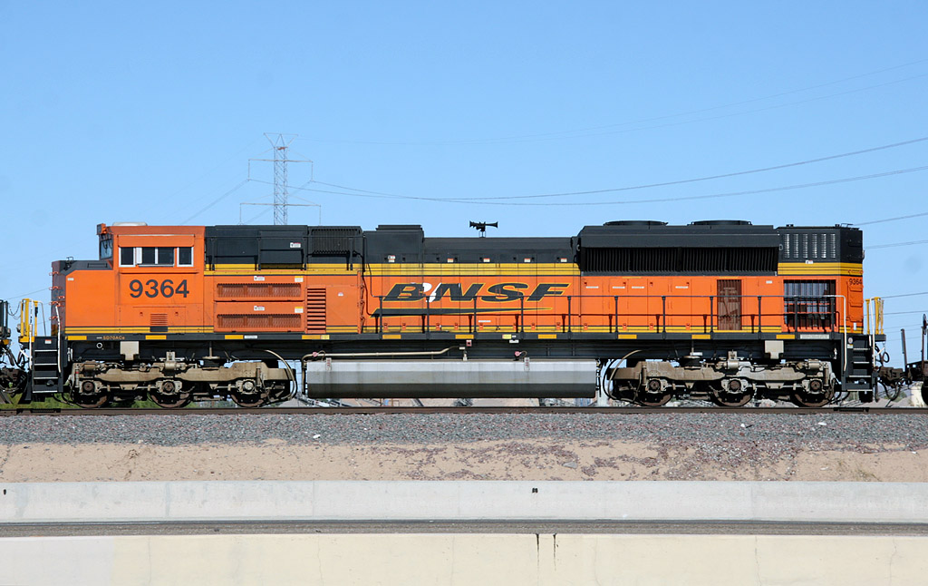
SD70ACe 9364
El Mirage
15 Nov 08
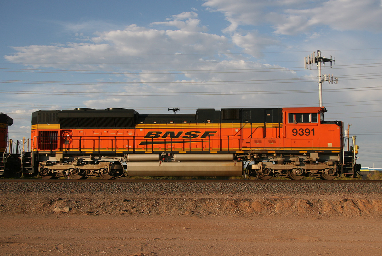
SD70ACe 9391
Surprise
28 Aug 09
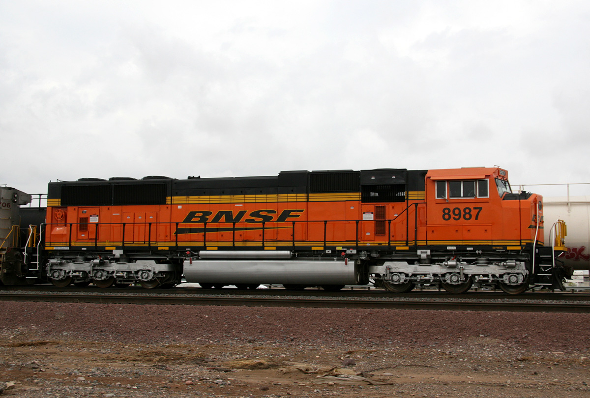
SD70MAC 8987
El Mirage
11 Jul 08
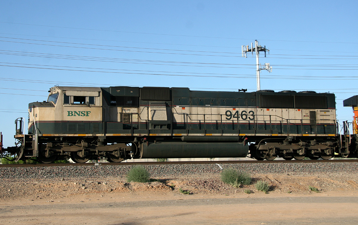
SD70MAC 9463
Surprise
14 May 11
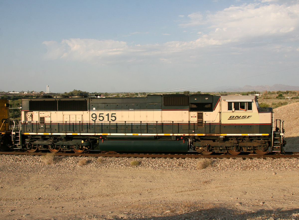
SD70MAC 9515
Parker (ARZC RR)
4 Jul 08
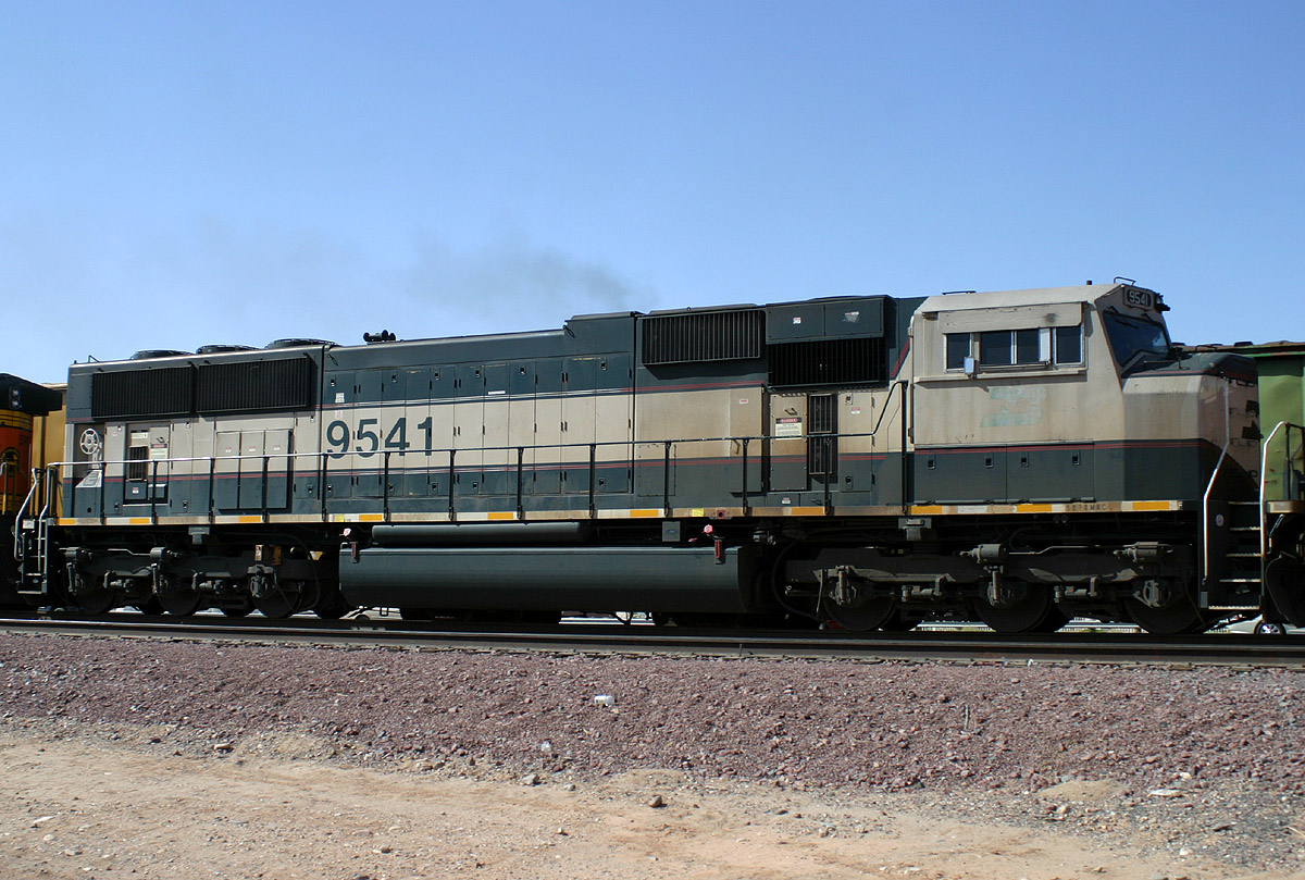
SD70MAC 9541
Beardsley
16 Apr 06
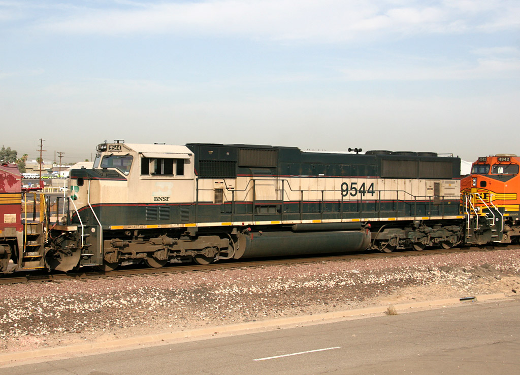
SD70MAC 9544
Phoenix
05 Jul 07

SD70MAC 9697
El Mirage
29 Jun 08
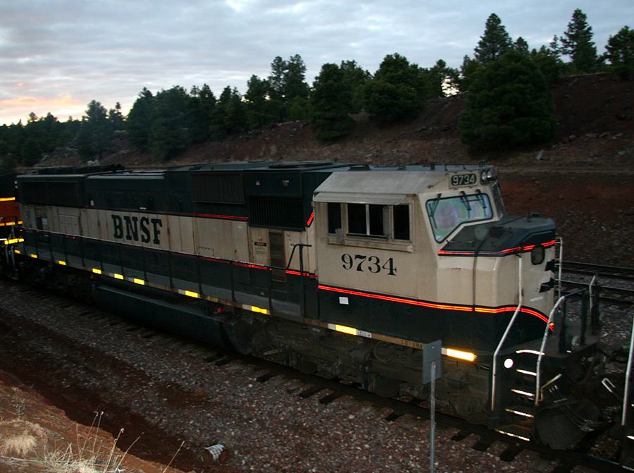
SD70MAC 9734
West Williams Jct
24 Mar 07
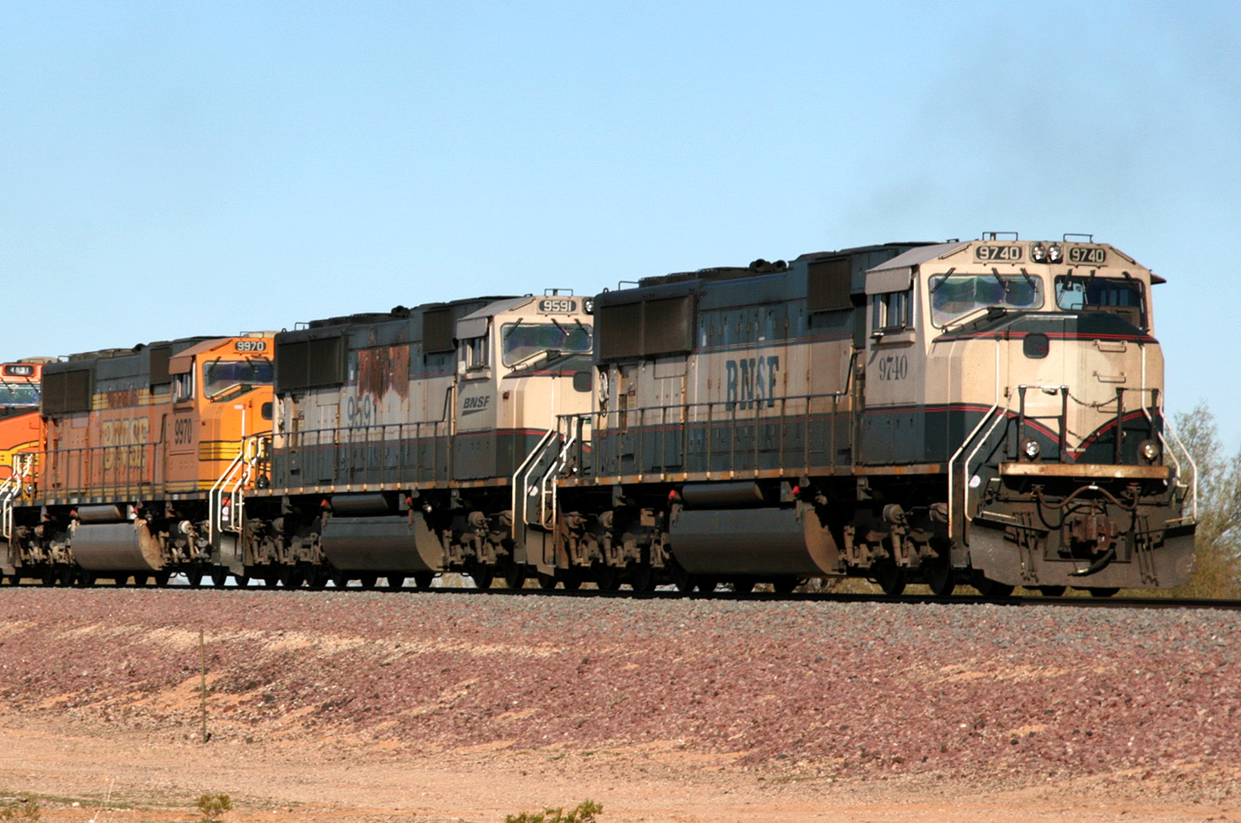
SD70MAC 9740
Surprise
13 Jan 09
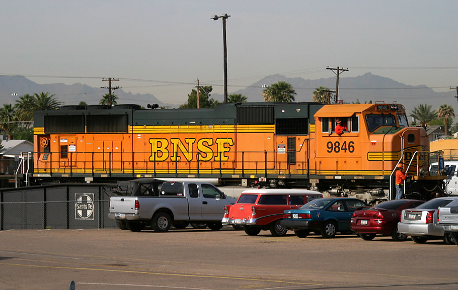
SD70MAC 9846
Mobest
06 Apr 05
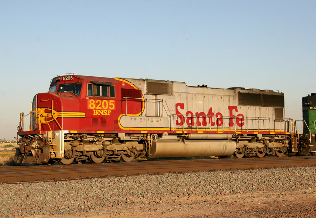
SD75M 8205
El Mirage
06 Nov 07

SD75M 8206
El Mirage
04 Aug 09
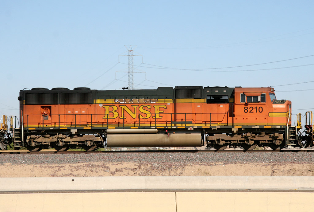
SD75M 8210
El Mirage
10 Nov 08
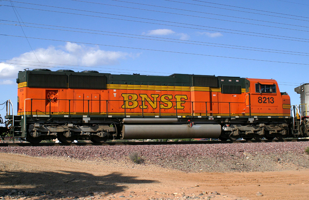
SD75M 8213
Beardsley
09 Apr 05
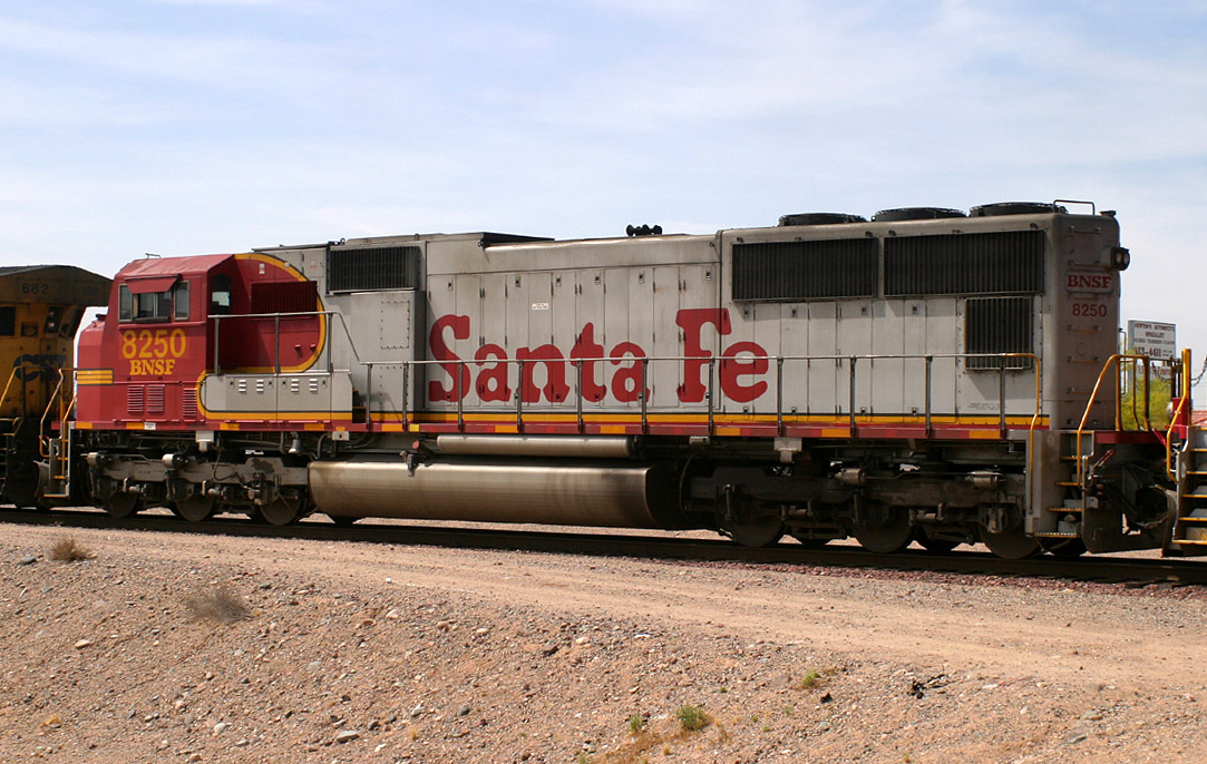
SD75M 8250
El Mirage
16 May 05
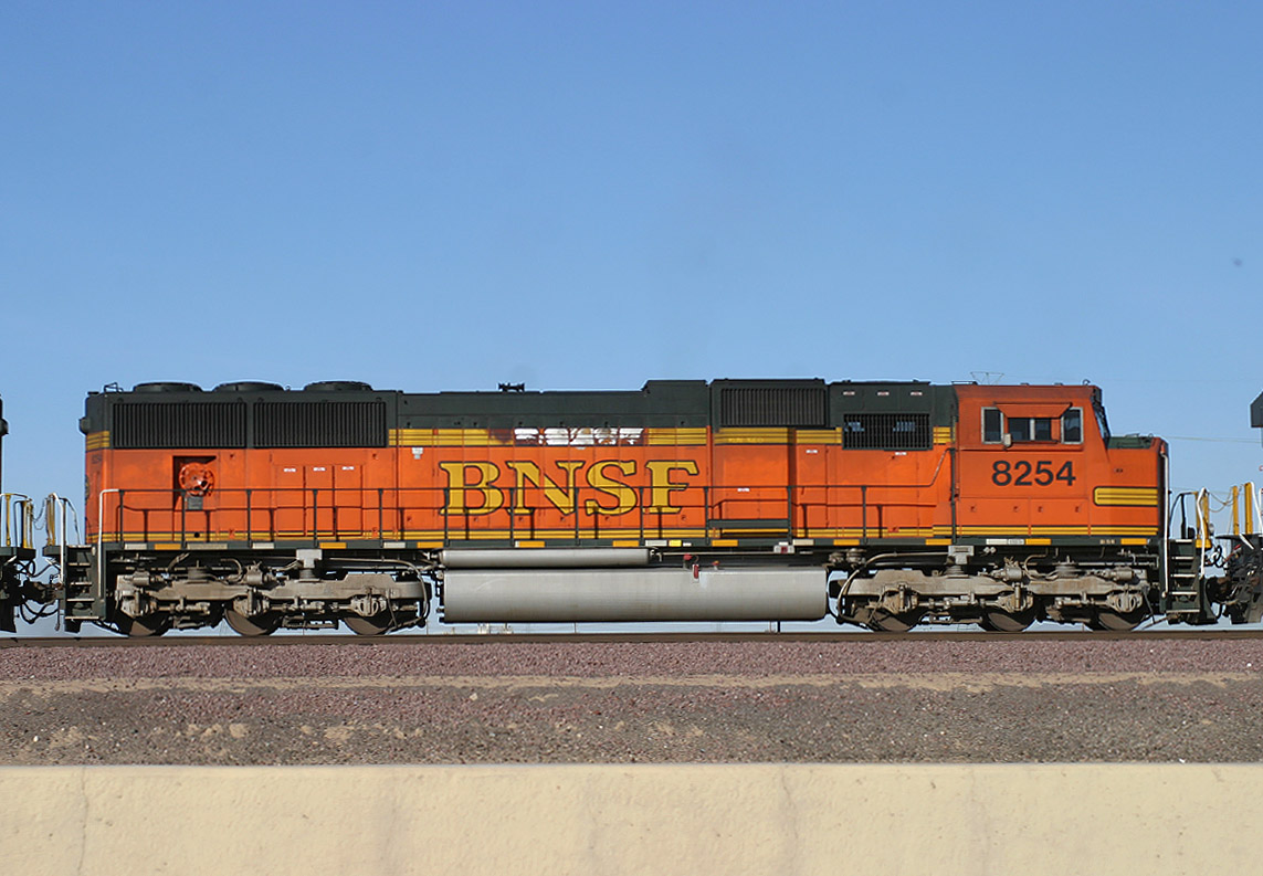
SD75M 8254
El Mirage
06 Nov 06
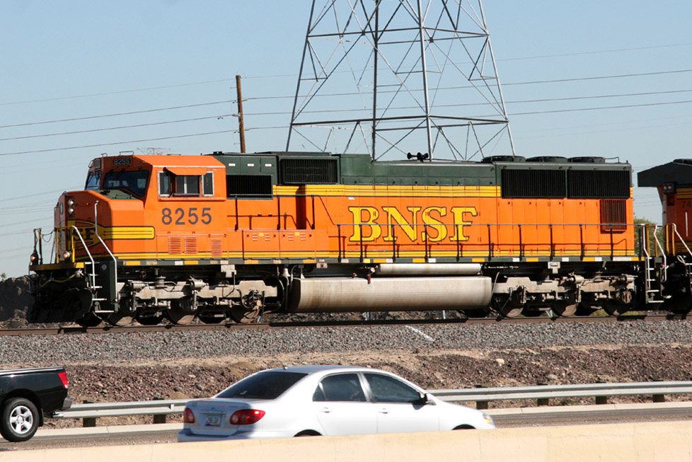
SD75M 8255
El Mirage
18 Nov 08
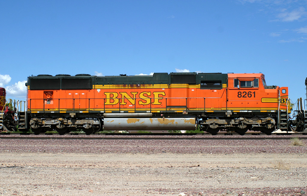
SD75M 8261
Beardsley
05 Sep 06
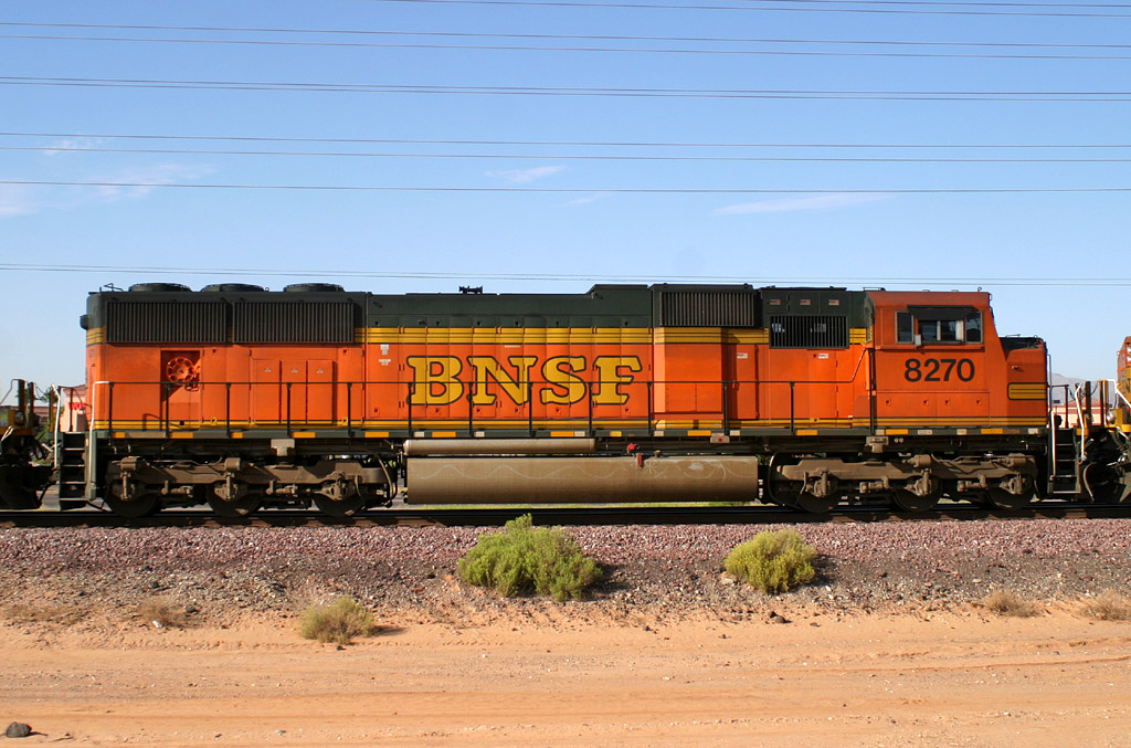
SD75M 8270
Beardsley
20 Sep 05
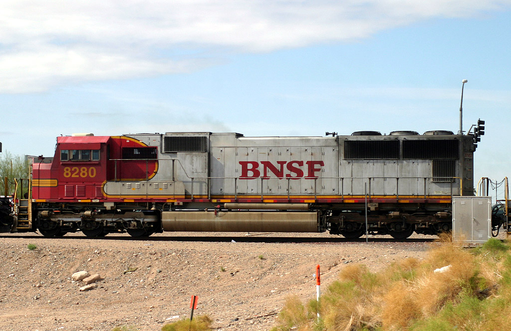
SD75I 8280
El Mirage
01 Apr 06
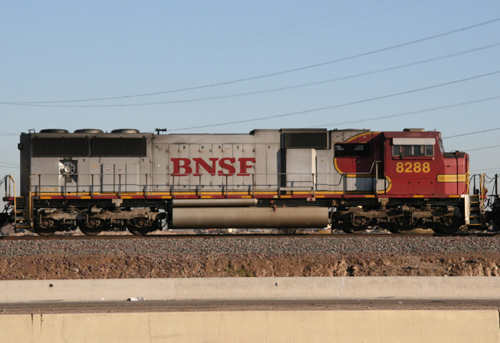
SD75I 8288
El Mirage
09 Jan 08
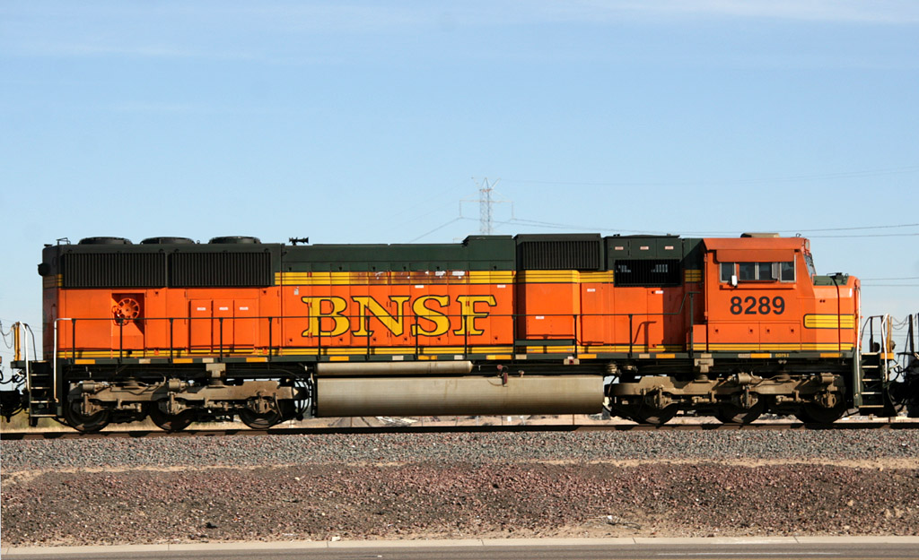
SD75I 8289
El Mirage
04 Feb 09
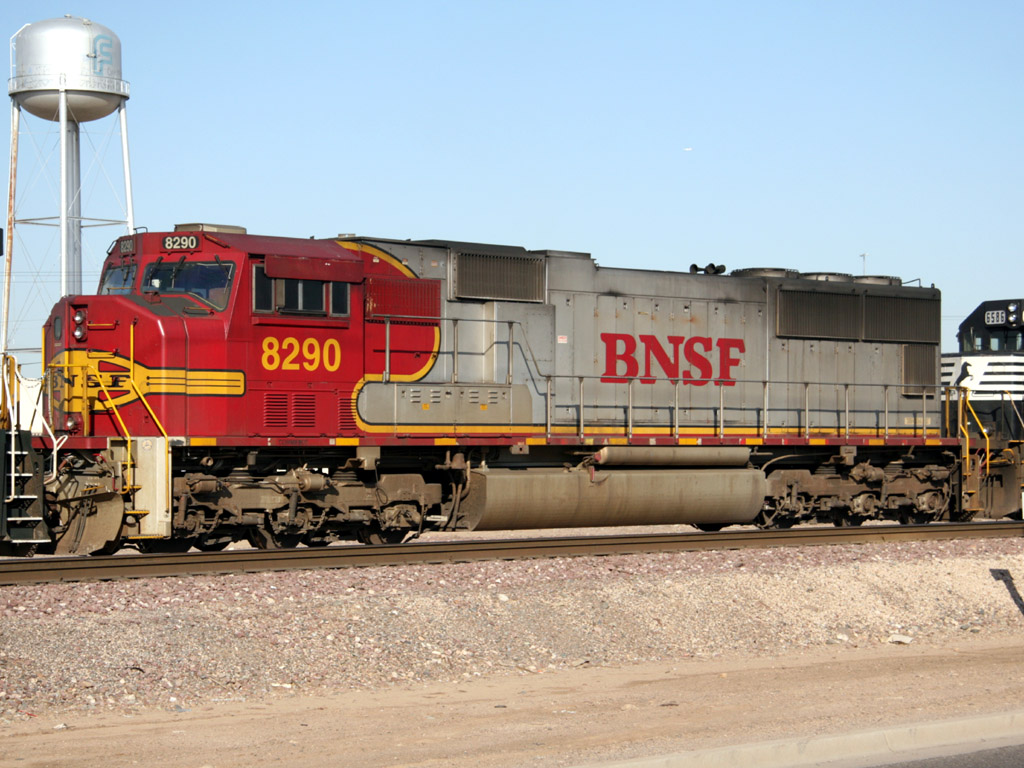
SD75I 8290
Glendale
28 Apr 07
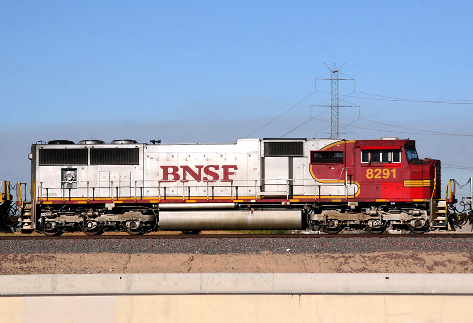
SD75I 8291
El Mirage
06 Dec 08
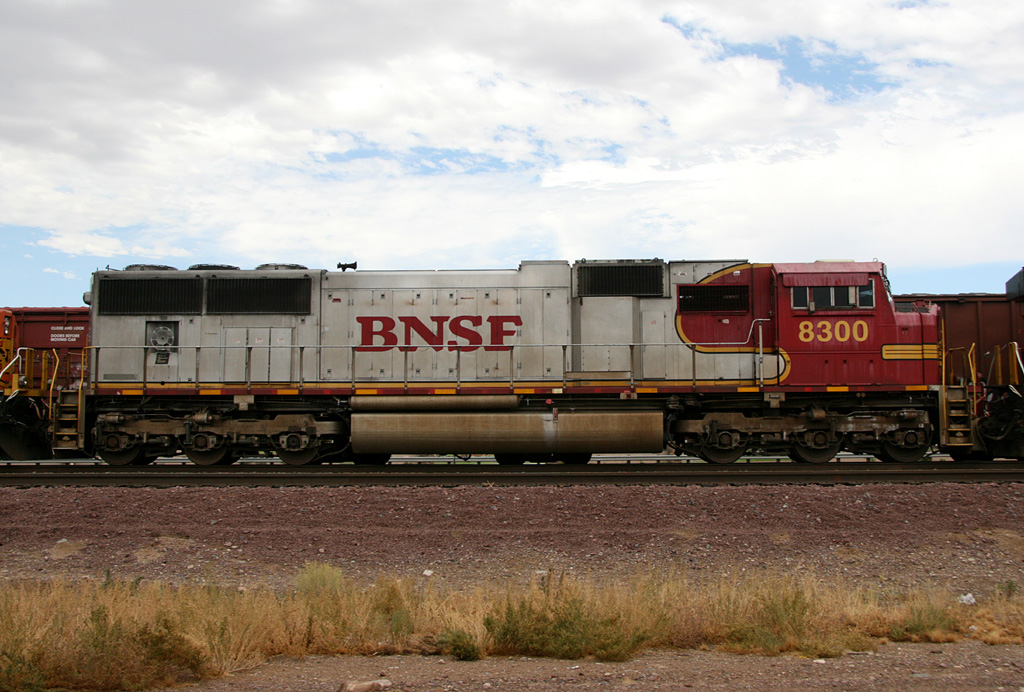
SD75I 8300
El Mirage
13 Aug 09
And just for fun, here are some select pics from the Mainline up north

Coming
Soon
Coming
Soon

GP38-2B 2249
Cosnino
14 Mar 06
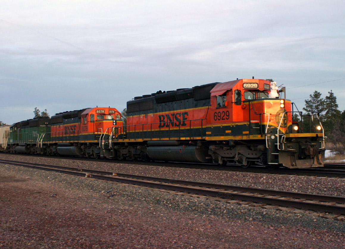
SD40-2 6929
Maine
24 Mar 06
Coming
Soon
Coming
Soon
Links
Ennis Sub My BNSF Ennis Sub Page
Norfolk Southern My "Southern West District" Illinois Railfan Guide (St Louis to Princeton, IN)
Click here
for an interesting read on riding the rails of the Peavine
Home Aeromoe's Flyin' and Rail Grindin' Website
Click here to send me some Railmail
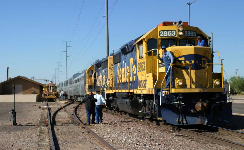
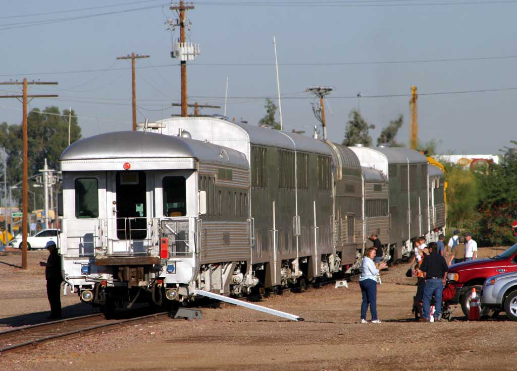
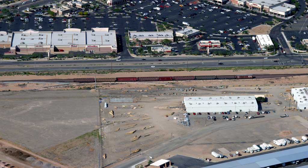
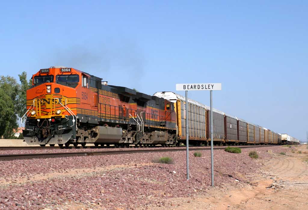
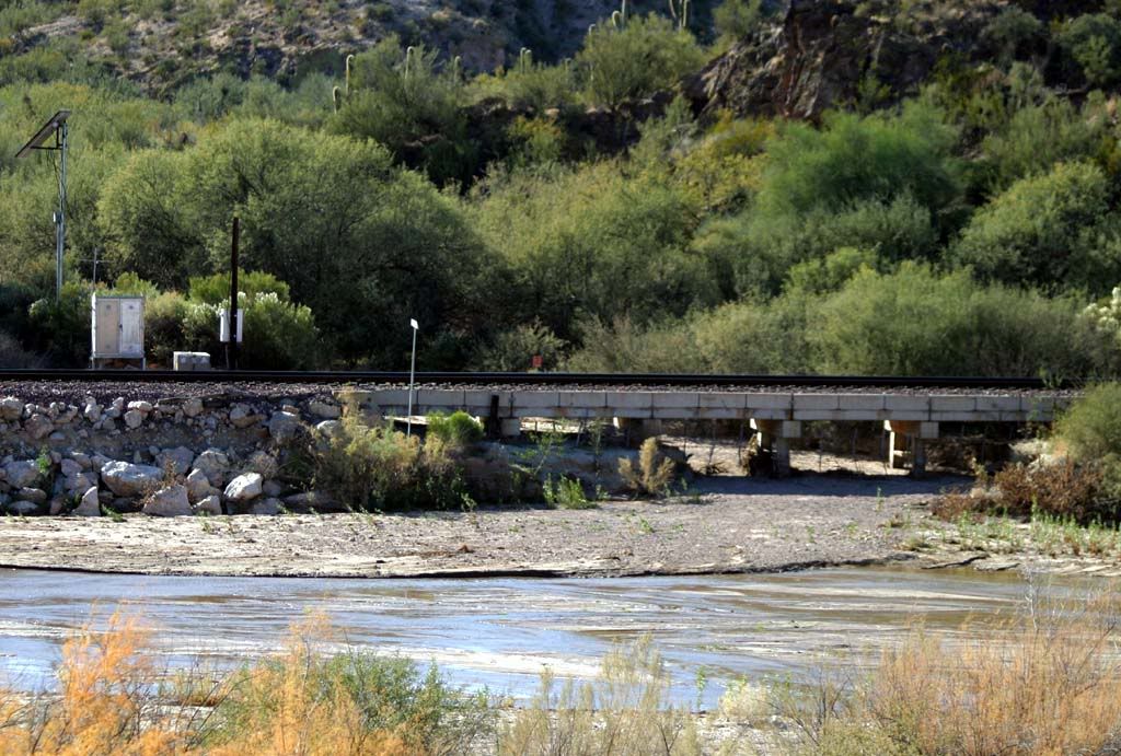
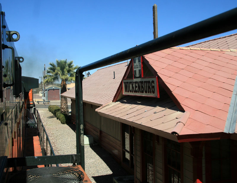
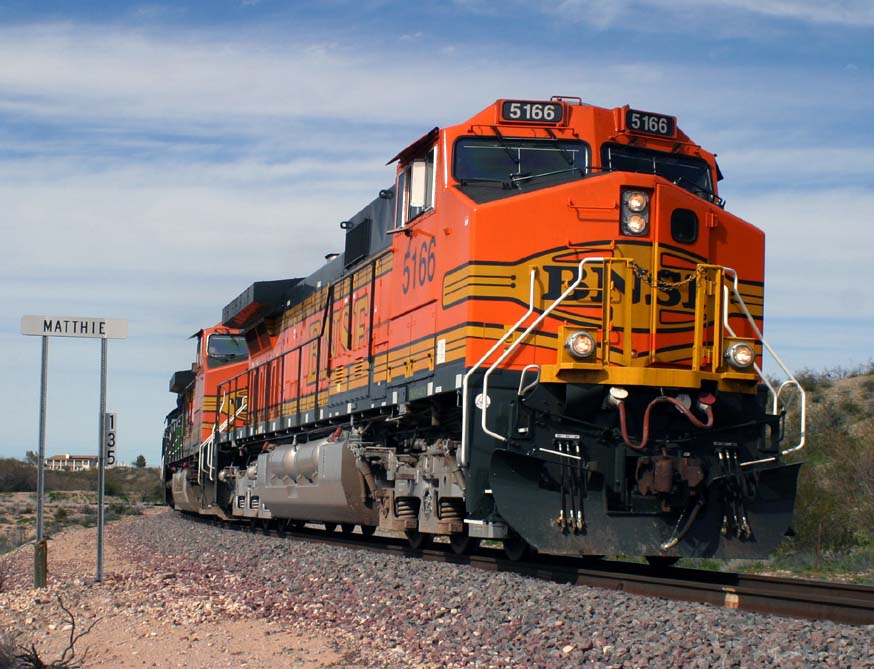
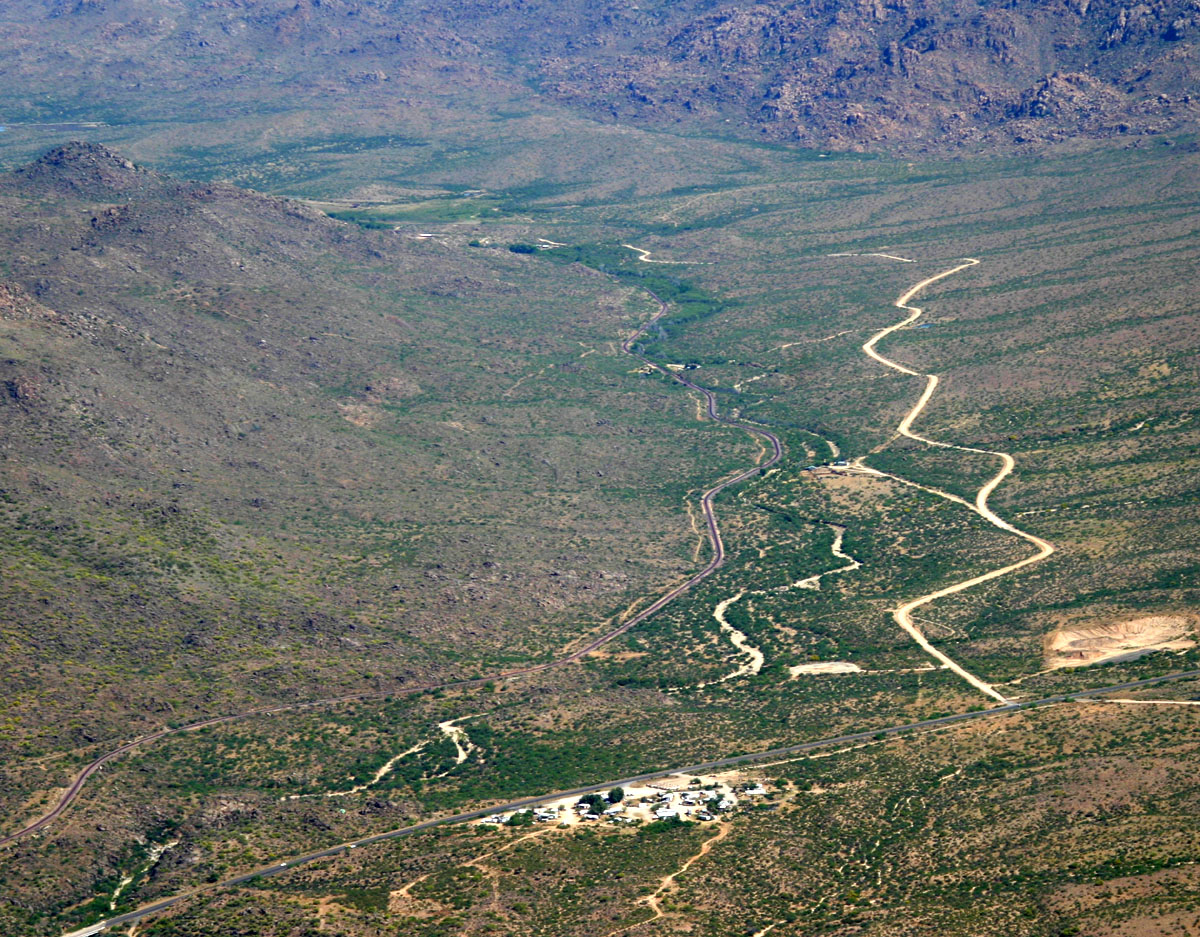
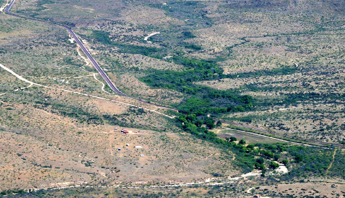
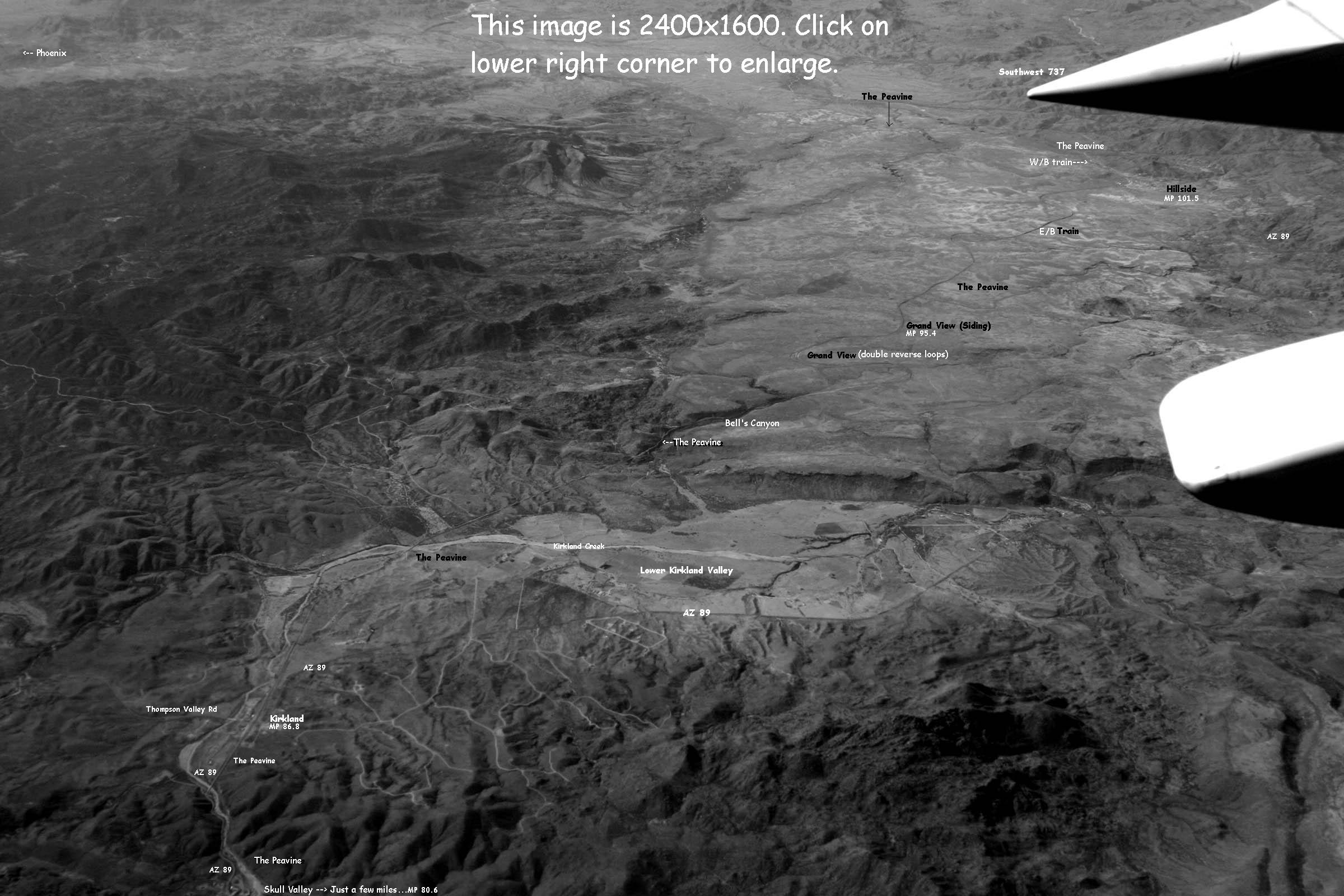
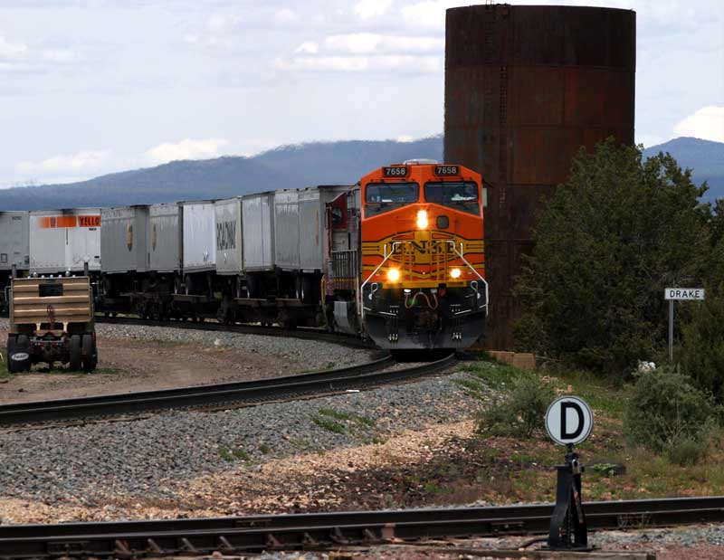
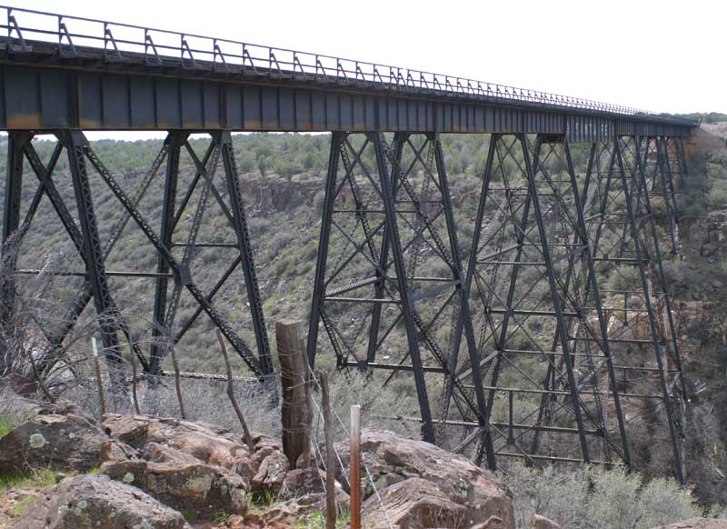
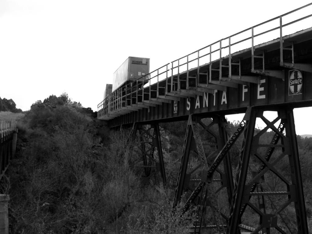
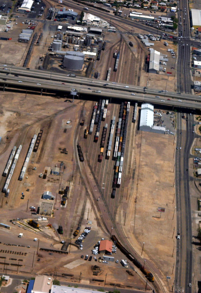
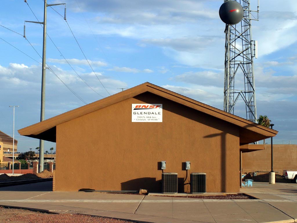
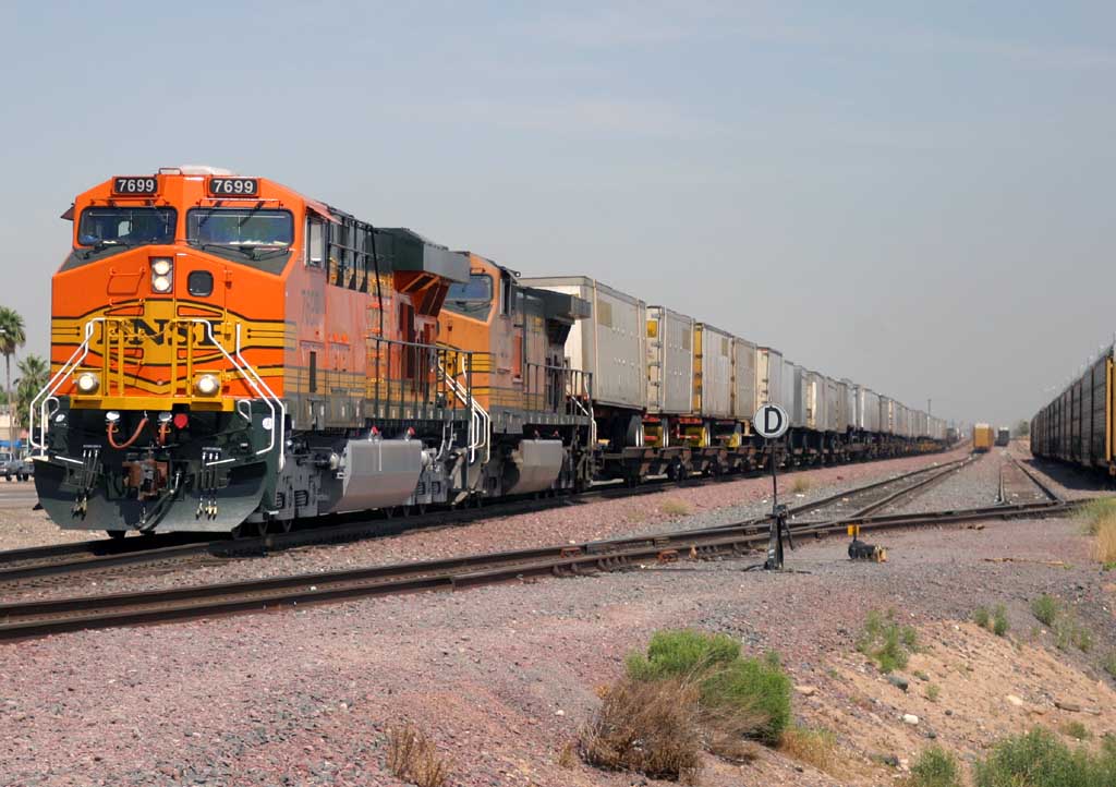
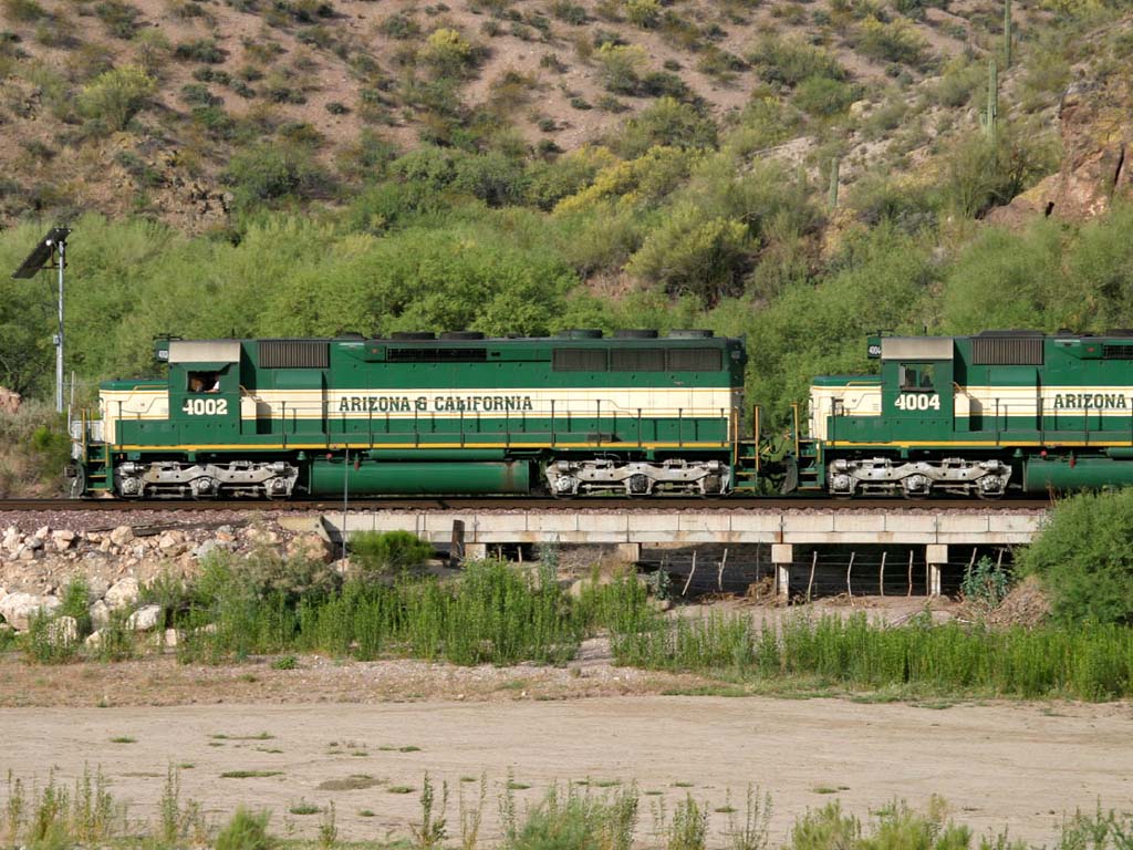
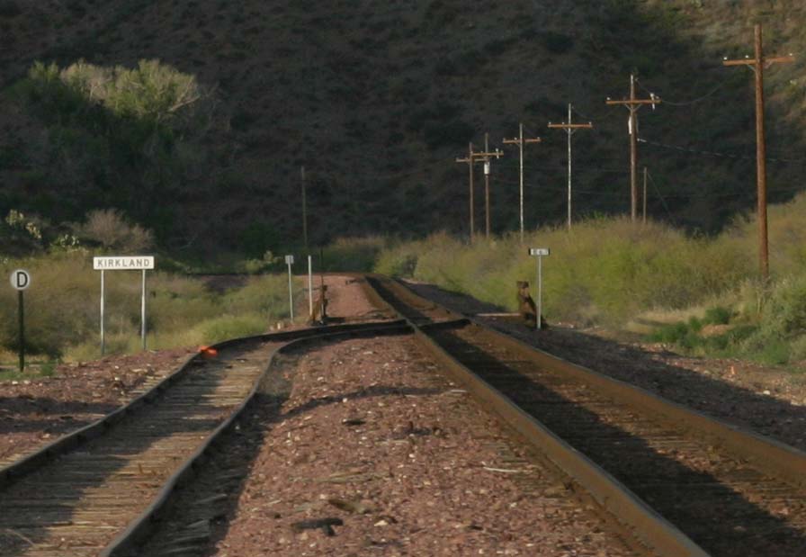
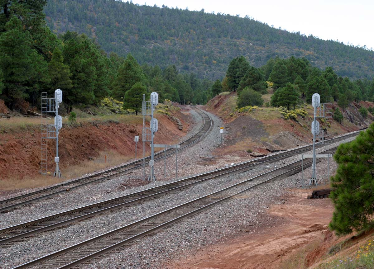
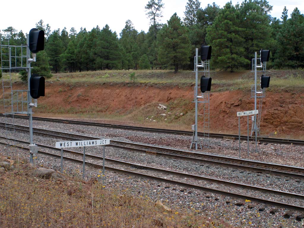