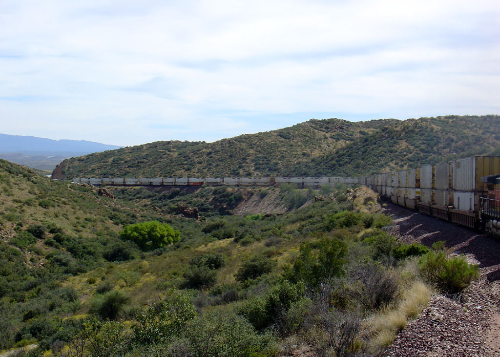
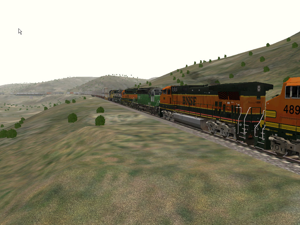
Some comparison photos showing the actual Peavine and Robert Wirth's MSTS Phoenix Sub route. Though the density of the foilage is sparse compared to the prototype, Bob has definitely captured the look and topography of the Peavine. And if you have any doubts to the accuracy of his track placement, just verify the geospatial coordinates in MSTS with the actual latitude and longitude...


Bells Canyon ~MP 90, westbound between Kirkland and Grand View.

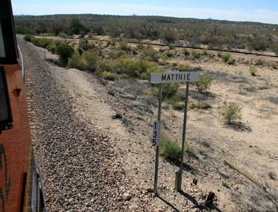
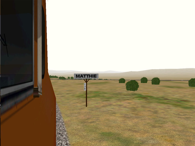
Matthie Wye MP 135. Old style station sign, my upgraded milepost markers.
As accurate as the route is, it is prime real estate for customizing if you are familiar with the MSTS Editor tools.
If you're a MS Train Simulator fan you may or may not know that Bob Wirth released his freeware version of the BNSF Phoenix Sub route for Train Simulator in early July 2007. If you want to get a flavor of opertaing trains over a virtual Peavine, give his route a try.
End to end, it covers the Peavine from Mobest Yard to Ash Fork. It also includes some trackage into downtown Phoenix, the Ennis Sub from El Mirage to Fennemore, the wye at Matthie (with minimal ARZC track to the west), the current Arizona Central line from Drake to Clarkdale and the pre-1960 line from Skull Valley through Prescott and up to Abra. He's put a lot of work into this route and it includes a lot of sidings and other spur trackage that has disappeared over the years. As such, it's a great candidate for customizing with the MSTS Route Editor to bring it more up to date. One can easily remove (or add) trackage, add lineside details like detectors and electrical boxes, update the crossing gates, etc. The possibilities are limited only by your imagination.
This route is the prefect complement to his freeware version of the Seligman Sub and while the two don't connect virtually, one could perform a crew change at Ash Fork on one of the routes and begin a new activity on the other route and continue running the same virtual train. It's available for free download at Train Sim.com
Home